The best MTB trails around Waternish
4.0
(3)
44
riders
6
rides
Mountain biking around Waternish offers a rugged and scenic experience on the Isle of Skye. The region is characterized by its dramatic coastal scenery, expansive moorland, and rugged coastline, providing varied terrain for mountain bikers. Riders can expect challenging paths and tracks that navigate diverse elevations and natural features. This area provides opportunities for adventurous mountain biking through its wild and untamed landscapes.
Best mountain bike trails in Waternish
- The most popular mountain bike trail is Quiraing Traverse via Quiraing…
Last updated: October 11, 2026
1
riders
30.5km
02:21
570m
570m
Hard mountain bike ride. Good fitness required. Advanced riding skills necessary. Some portions of the route may require you to push your bike.
4.0
(3)
20
riders
37.0km
02:24
570m
570m
Hard mountain bike ride. Good fitness required. Advanced riding skills necessary. Some portions of the route may require you to push your bike.

8
riders
47.7km
04:01
1,020m
1,020m
Hard mountain bike ride. Very good fitness required. Advanced riding skills necessary. Some portions of the route may require you to push your bike.
9
riders
28.6km
02:09
490m
490m
Moderate mountain bike ride. Good fitness required. Suitable for all skill levels.
1
riders
67.0km
04:15
840m
830m
Moderate mountain bike ride. Good fitness required. Advanced riding skills necessary.
Our route recommendations are based on thousands of hikes, rides, and runs completed by other people on komoot.
Start today with a free account
Your next adventure awaits.
Tips from the Community

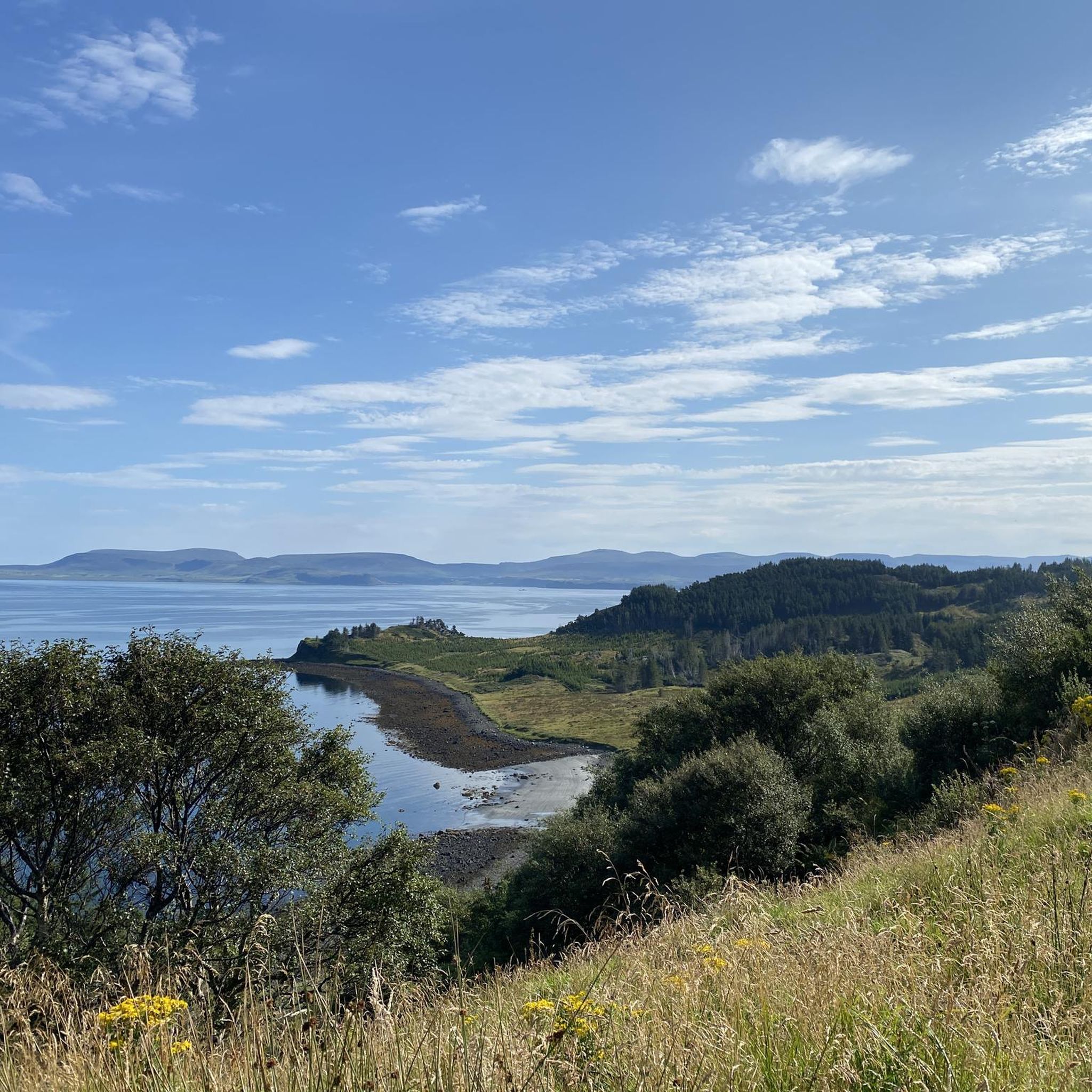
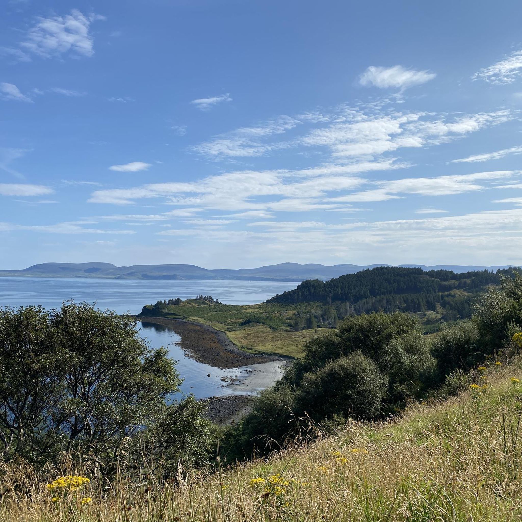
From here, the gaze escapes from the Quiraing towards Loch Cleat, the bay of Staffin and the sea. The curious thing about this small lake is its position: it is wedged between the slopes of Trotternish, a short distance from the coast but separated from the sea. On clear days, from this point you can even distinguish Staffin Island and, much further away, the mountains of the Scottish continental coast. A good place to stop and look out of the Quiraing: the spectacle is not just behind you.
0
0
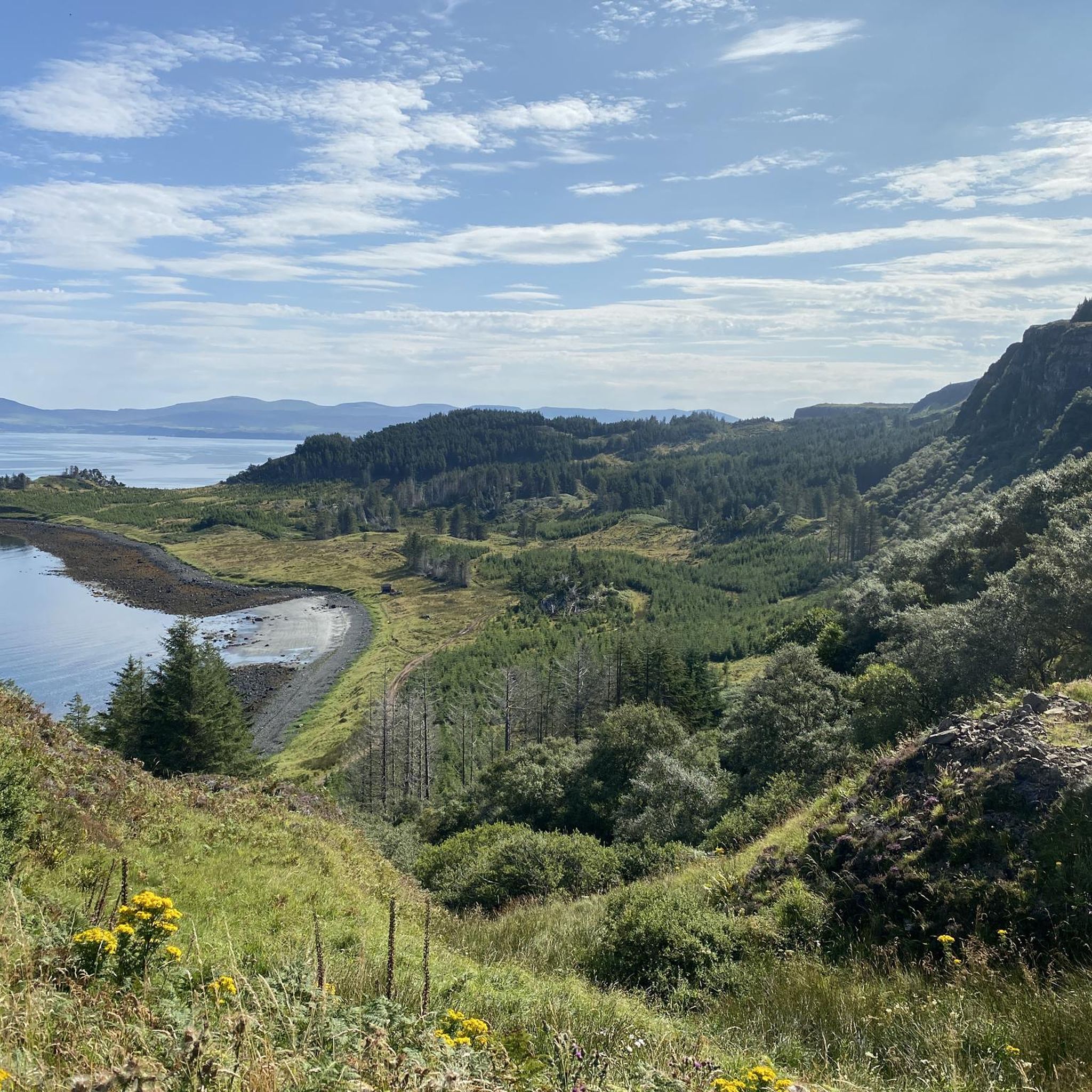
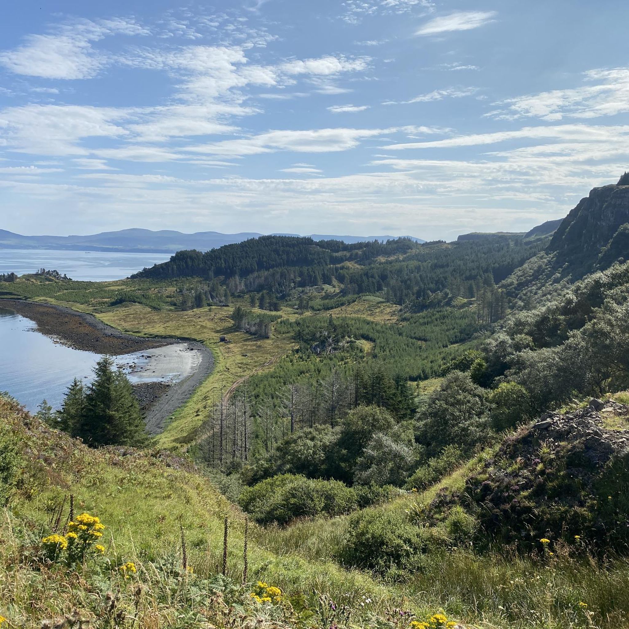
For centuries, the Quiraing was not a tourist viewpoint. Its walls, needles and nooks served the inhabitants of Trotternish to hide livestock from raiders. Particularly curious is The Table, an elevated, surprisingly flat and grassy plateau, practically invisible from below. According to tradition, they could hide animals there without those crossing the valley even knowing they were above them. Seeing the rock labyrinth from this point, it is easy to understand why it was a perfect hiding place.
0
0
After several days of rain, the cliffs of Quiraing fill with temporary waterfalls that fall directly from the enormous basalt walls. Some easily exceed 100 meters in height and can appear or practically disappear depending on the weather. With strong wind, something even stranger happens: the water can be pushed upwards or dissolve into a cloud of droplets before reaching the ground. This is why this spot can look completely different from one day to the next.
0
0
This stretch crosses Strath Suardal, one of Skye's most geologically curious landscapes, between Broadford and Torrin. Here the terrain changes radically: expanses of white limestone appear on an island normally dominated by dark volcanic rock. That limestone was transformed by the heat of the magma that formed the Cuillins and gave rise to the famous Skye marble, exploited for over a century in the nearby Torrin quarries. In just a few kilometres, you go from open moorland to mountains, small lochs, and huge rock faces. A road where it's worth looking up from the handlebars.
0
0
A 4.2 km descent with about 150 m of elevation change, crossing one of Skye's inland wind farms. Ben Aketil Wind Farm became operational in 2007 and its wind turbines are spread across a huge expanse of moorland, with practically no buildings around. The tracks built to access and maintain the turbines have also created a curious network of paths for exploring this much less touristy part of the island. By bike, the contrast between the gigantic turbines, the mountains, and Skye's completely open landscape is what's truly special about this section.
0
0


The Quiraing Pass on the Isle of Skye is a spectacular, narrow mountain road that connects the villages of Uig and Staffin on the Trotternish Peninsula. It leads through the dramatic landscape of the Quiraing and reaches an altitude of about 260 meters. The road is known as a single-track, winding route with steep sections and tight hairpin bends. In some places, it reaches gradients of up to 14% and requires careful driving. During the drive, exceptional views of rock formations, hills, and the coastline are offered. The Quiraing Pass is therefore considered one of Scotland's most beautiful, but also most challenging, scenic roads.
1
0
The Quiraing on the Isle of Skye is a spectacular landscape of rugged rocks, steep slopes, and green plateaus on the Trotternish Peninsula. It was formed by massive landslides, which are still active today and constantly changing the shape of the landscape. The area is known for distinctive formations such as The Needle, The Prison, and The Table. The Quiraing offers some of Scotland's most impressive views and is a popular destination for hikers and photographers. Its dramatic scenery gives it an almost mystical atmosphere.
0
0
Frequently Asked Questions
How many mountain bike trails are available in Waternish?
Waternish offers a selection of 6 mountain bike trails, catering to various skill levels. These routes provide a rugged and scenic experience across the peninsula's diverse terrain.
What kind of terrain can I expect on mountain bike trails in Waternish?
You can expect a mix of coastal paths, expansive moorland tracks, and varied elevations. The terrain is generally rugged and untamed, characteristic of the Isle of Skye, offering an adventurous experience. Some paths may require pushing your bike due to their difficulty.
Are there challenging mountain bike routes for experienced riders in Waternish?
Yes, Waternish is well-suited for experienced riders seeking a challenge. Out of the 6 available routes, 3 are classified as difficult. For example, the Quiraing Traverse via Quiraing Road is a challenging 19.0-mile (30.5 km) route that traverses the dramatic Quiraing landscape. Another demanding option is MacLeod's Maidens – View of Bay and Cliffs loop from Vatten, which covers 29.6 miles (47.7 km) through coastal areas.
Are there any easy mountain bike trails suitable for beginners in Waternish?
The mountain bike routes in Waternish are generally geared towards moderate to difficult skill levels, with no trails specifically classified as easy. Riders should be prepared for rugged terrain and varied elevations, which may require good fitness and advanced riding skills.
What natural features or landmarks can I see while mountain biking in Waternish?
Waternish offers stunning natural beauty and historical landmarks. You might encounter dramatic coastal scenery, expansive moorland, and panoramic sea views. Notable attractions nearby include the historic Dunvegan Castle, the atmospheric Trumpan Church Ruins, and the beautiful Coral Beach, Isle of Skye. The remote location also makes it excellent for stargazing.
Is there parking available for mountain bikers in Waternish?
While specific dedicated mountain bike parking areas are not widely signposted, parking is generally available in villages like Stein or at common starting points for walks and trails. It's advisable to check local signage and be considerate of residents when parking.
Can I reach mountain bike trails in Waternish using public transport?
Public transport options to Waternish are limited, and bringing bikes on buses can be challenging. For greater flexibility and access to various trailheads, it is generally recommended to travel by car. Some local services may operate, but they are infrequent.
Are there any permits required for mountain biking in Waternish?
There are no specific permits required for mountain biking on existing paths and tracks in Waternish. However, riders should always adhere to the Scottish Outdoor Access Code, respecting land, wildlife, and other users.
What is the best time of year to go mountain biking in Waternish?
The best time for mountain biking in Waternish is typically during the drier months, from late spring to early autumn (May to September). During this period, the weather is generally milder, and daylight hours are longer. Be prepared for changeable weather conditions at any time of year, as is common on the Isle of Skye.
Are the mountain bike trails in Waternish suitable for families?
Given the rugged and often challenging nature of the terrain, with many routes classified as moderate to difficult, Waternish's mountain bike trails are generally not ideal for young families or beginners. More experienced families with good fitness and riding skills might find some sections enjoyable, but caution is advised.
Can I bring my dog on the mountain bike trails in Waternish?
Dogs are generally welcome on trails in Waternish, provided they are kept under close control, especially around livestock and wildlife. Always follow the Scottish Outdoor Access Code, clean up after your dog, and be mindful of other trail users.
Are there circular mountain bike routes in Waternish?
Yes, many of the mountain bike routes in Waternish are designed as loops, allowing you to start and finish in the same location. For example, The Quiraing – Quiraing Pass loop from Uig and Wind Farm Descent – St John's Chapel Ruins loop from Abhainn Ghlinn Uachdaraich are popular circular options.
What do other mountain bikers enjoy the most about mountain biking in Waternish?
The mountain biking experience in Waternish is highly rated by the komoot community, with an average score of 4.0 stars. Riders often praise the dramatic coastal scenery, the wild and untamed landscapes, and the adventurous nature of the trails. The sense of raw riding and immersion in nature are frequently highlighted.
Most popular attractions around Waternish

Get inspired with the komoot mobile app


Explore more
Browse the best MTB trails in other regions.
