The best cycling routes around Strathy And Armadale
4.1
(7)
132
riders
6
rides
Touring cycling routes around Strathy And Armadale traverse a landscape characterized by a dramatic coastline, expansive moorland, and unique machair grasslands. The region features north, east, and west-facing cliffs interspersed with sandy beaches, offering varied coastal riding experiences. Inland, routes extend into wild moorland and the Flow Country, one of the world's largest blanket peat bogs. This area provides a mix of challenging routes with significant elevation gains, suitable for experienced touring cyclists.
Best touring cycling routes around Strathy And…
Last updated: August 22, 2026
4.0
(1)
2
riders
38.1km
02:50
620m
620m
This 23.7-mile difficult touring bicycle loop from Bettyhill offers dramatic coastal views of Tongue Bay, Coldbackie Beach, and the Rabbit I
4.4
(5)
65
riders
123km
07:22
940m
940m
Hard bike ride. Very good fitness required. Mostly paved surfaces. Suitable for all skill levels.

Sign up for free
25
riders
57.2km
03:44
820m
820m
Hard bike ride. Very good fitness required. Mostly paved surfaces. Suitable for all skill levels.
24
riders
51.4km
03:23
790m
790m
Hard bike ride. Very good fitness required. Mostly paved surfaces. Suitable for all skill levels.
4.0
(1)
7
riders
35.0km
02:20
520m
520m
Hard bike ride. Very good fitness required. Mostly paved surfaces. Suitable for all skill levels.
Our route recommendations are based on thousands of hikes, rides, and runs completed by other people on komoot.
Start today with a free account
Your next adventure awaits.
Login or Signup
Popular around Strathy And Armadale
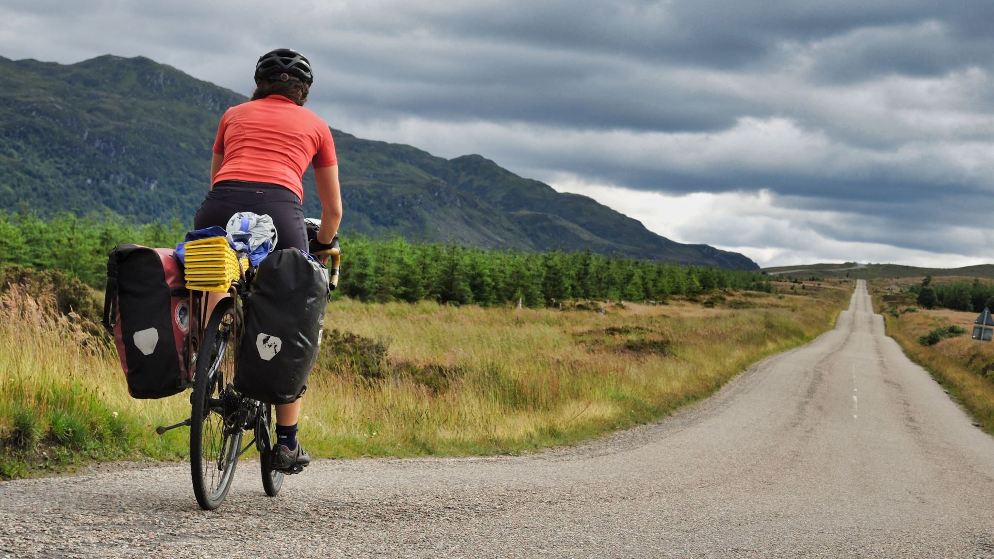
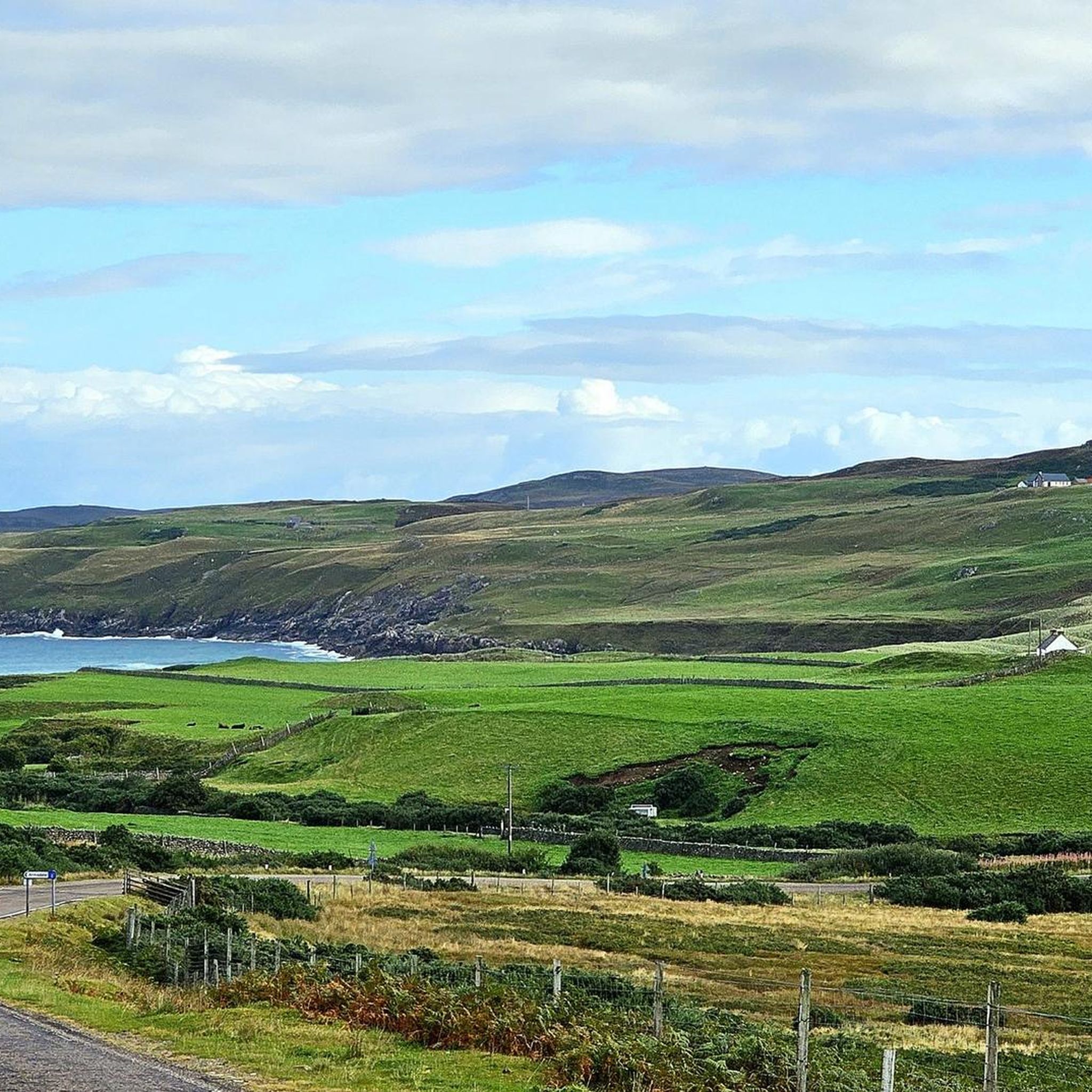
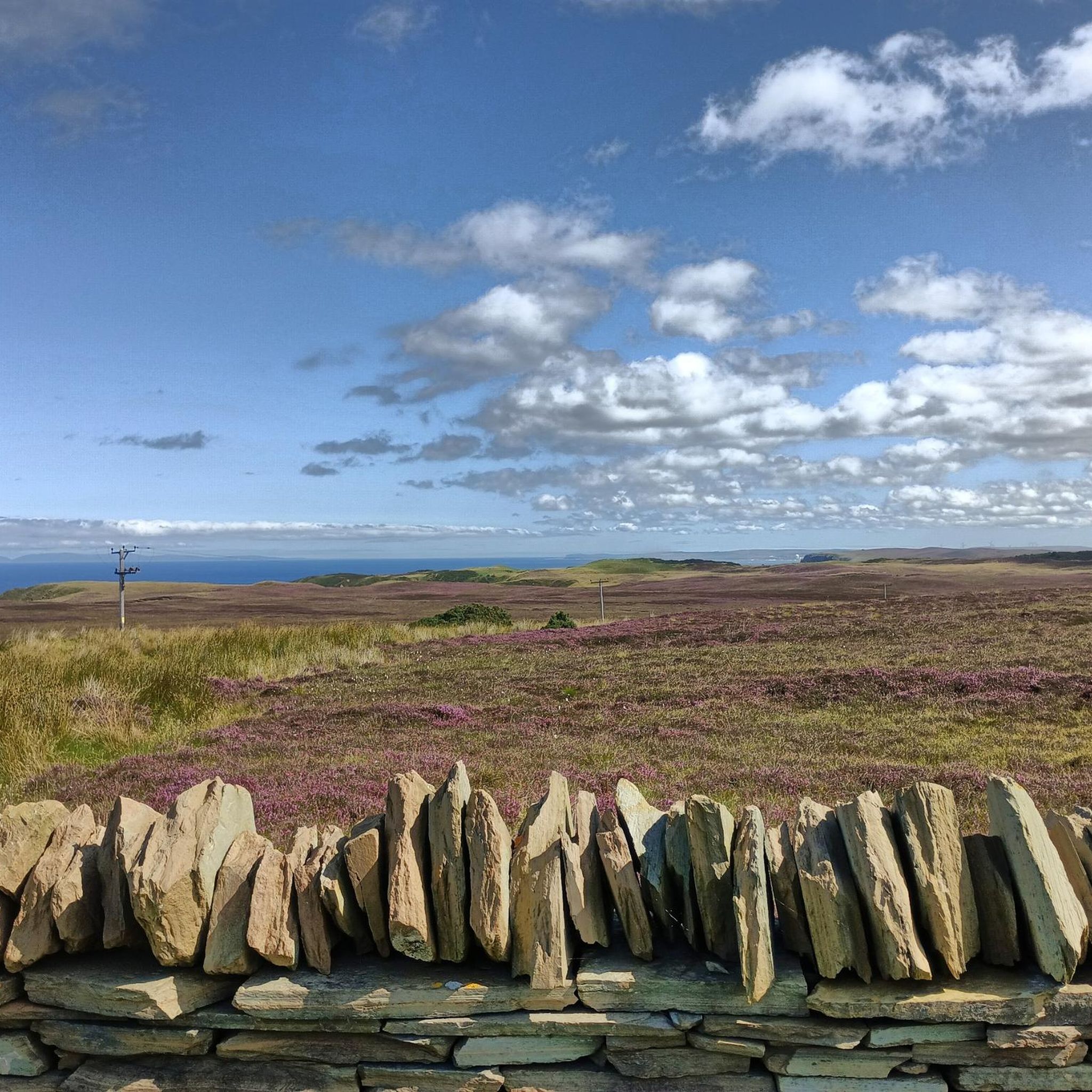
Other adventures around Strathy And Armadale

Tips from the Community

This is a pretty commercialised spot, but for a good reason. The end or start point of many a biking and hiking adventure. Ours took 12 days, south to north, and I was pretty glad to see this signpost.
2
0

Lovely view of the coast and bring your binoculars to try and see the birds
0
0

John O’Groats Harbour is a small port located in the village of John O’Groats, the most northerly settlement on the British mainland. It is the departure point for passenger ferries, wildlife cruises, and day tours to the Orkney Islands, a group of islands rich in history and nature. The harbour also hosts local shellfish boats and a craft shop, and is near the famous John O’Groats signpost, where many travellers take photos to mark the end or start of their journey across Britain. John O’Groats Harbour is a lively and scenic place to visit and explore the northernmost part of Scotland.
2
0

The historic small harbour at John O’Groats is well worth visiting. From here in summer a popular ferry service carries visitors to explore the Orkney Islands, and you can also take fascinating wildlife cruises along the nearby Caithness coast. The harbour and its ferry have been central to John O’Groats since the settlement was created in 1496 by Jan de Groot, a Dutchman. De Groot had a commission from King James IV of Scotland to establish a ferry between the mainland and Orkney. The settlement’s name derives from Jan de Groot. Today the harbour is used mainly by lobster and crab fishing boats. However, during the summer (1st May to 30th September) a sizeable passenger ferry operates twice daily between John O’Groats and Burwick on South Ronaldsway, Orkney. The crossing time is 40 minutes and bikes are carried free. For further information including the ferry timetable please link to https://www.jogferry.co.uk/Ferry.aspx Between the 1st May and 31st August wildlife cruises also operate daily from John O’Groats harbour. They visit either the Island of Stroma or the Stacks of Duncansby with the cruise lasting 90 minutes. For further information including the current timetable please link to https://www.jogferry.co.uk/Wildlife.aspx An additional highlight of visiting John O’Groats harbour is to admire the stunning view north across the Pentland Firth to the Orkney Islands. You may also see large ships passing nearby as the Firth is an International Shipping Lane.
2
0

This iconic signpost marks the end of the journey for cyclists (and hikers!) making the long trek from Land's End, the southwestern tip of mainland Britain. Unlike the Land's End sign, this one is free to get your photo taken at. Just be prepared to wait, as it can get quite busy with tourists doing the NC500 route. It's worth noting that despite its fame, John O' Groats is not the absolute most northerly point of mainland Britain. That distinction belongs to Dunnet Head, which is situated a few miles to the west of John O' Groats.
2
0

A magnificent beach of fine sand protected by an immense barrier of high dunes. Perhaps the most northerly surf spot in Britain. Spectacular!
0
0
A magnificent beach of fine sand protected by an immense barrier of high dunes. Perhaps the most northerly surf spot in Britain. Spectacular!
0
0

Great place. Warm. Excellent food.
0
0
Frequently Asked Questions
How many touring cycling routes are available in Strathy And Armadale?
Based on komoot data, there are 6 touring cycling routes in Strathy And Armadale. All of these are rated as difficult, offering significant challenges for experienced cyclists.
Are there any easy or beginner-friendly touring cycling routes in Strathy And Armadale?
The touring cycling routes around Strathy And Armadale are primarily designed for experienced cyclists. All 6 routes listed on komoot are rated as difficult, featuring significant elevation gains and distances. While some segments of the North Coast 500 in the wider region might be less challenging, the specific routes in this guide require a good level of fitness.
What kind of landscapes can I expect to see while touring cycling in Strathy And Armadale?
You'll experience a dramatic and varied landscape. Routes often traverse a rugged coastline with cliffs and sandy beaches like Strathy Bay, and unique machair grasslands. Inland, you'll find wild moorland and parts of the Flow Country, one of the world's largest blanket peat bogs, offering a distinct natural experience.
Are there circular touring cycling routes available in Strathy And Armadale?
Yes, several touring cycling routes in the area are circular. For example, the Skerray, Tongue Bay & Coldbackie Beach loop from Bettyhill offers a 23.7-mile circular journey with coastal views. Another option is the Caithness Mountains – Near Halladale loop from Achvarasdal Junction, which takes you through inland moorland.
What are some notable landmarks or viewpoints along the touring cycling routes?
The region offers numerous scenic points. You can cycle past the historic Strathy Point Lighthouse, enjoy views of the North Atlantic Ocean, or explore the unique Strathy Bay. Other highlights include the River Naver, the Old Stone Bridge Over the Halladale River, and the View of Middle Clett Sea Stack. The North Coast 500 (NC500) Scenic Road also passes through the area, offering iconic vistas.
What is the best time of year to go touring cycling in Strathy And Armadale?
The summer months, particularly June to August, are generally considered the best time for touring cycling in Strathy And Armadale. During this period, the unique machair grasslands burst with colorful flowering plants, and the weather is typically milder, though conditions can change rapidly in the Scottish Highlands. Be prepared for dynamic weather regardless of the season.
Are there any long-distance touring cycling routes in the area?
Yes, the region is part of major cycling routes, including portions of the renowned Land's End to John O'Groats (LEJOG) path and the North Coast 500 (NC500). A significant long-distance option is the John O'Groats Signpost – Dunnet Bay Beach loop from Portskerra, a challenging 76.1-mile route that provides an extensive coastal journey.
What do other touring cyclists enjoy most about cycling in Strathy And Armadale?
The area is highly rated by the komoot community, with an average score of 4.1 stars from over 7 reviews. Cyclists often praise the dramatic coastal scenery, the challenging nature of the routes, and the unique natural features like the Flow Country and machair grasslands. The opportunity to spot wildlife also adds to the experience.
Are there any family-friendly touring cycling options in Strathy And Armadale?
Given that all routes in this guide are rated as difficult, they may not be suitable for young children or beginners. However, the region offers stunning scenery that families might enjoy from designated viewpoints or shorter, less strenuous sections of paths not included in these specific touring routes. Always check the difficulty and elevation profiles to ensure it matches your family's ability.
Where can I find amenities like cafes or pubs along the routes?
While Strathy is a scattered community, it does offer some amenities. The Strathy Inn is a local option, and the award-winning Strathy Bay beach has facilities including a car park and toilets. The 'Skerray, Tongue Bay & Coldbackie Beach loop from Bettyhill' route passes near Bettyhill, which has 'The Store Cafe'.
What kind of wildlife can I expect to see while cycling in the region?
The region is rich in wildlife. Cyclists may have opportunities to spot deer, various bird species, and even marine life such as dolphins and whales along the coast. The RSPB reserve at Forsinard, inland, provides opportunities to observe rare birds in the peatlands.
Is public transport available to access the cycling routes in Strathy And Armadale?
Public transport options in this remote part of the Scottish Highlands are limited. While there may be local bus services connecting some villages, it's advisable to check specific routes and timetables in advance if you plan to rely on public transport to reach your starting point or for transfers. Many cyclists arrive by car or are undertaking longer self-supported tours.
Where can I park my car when starting a touring cycling route?
Parking is generally available in the villages and at popular viewpoints or attractions. For example, Strathy Bay has a car park. When planning your route, look for designated parking areas in towns like Bettyhill or near specific trailheads. Always ensure you park responsibly and considerately, especially in rural areas.
Most popular routes around Strathy And Armadale
Most popular attractions around Strathy And Armadale

Get inspired with the komoot mobile app


Explore more
Browse the best Cycling routes in other regions.
