The best walks and hikes around Nigg And Shandwick
4.1
(171)
986
hikers
30
hikes
Hiking around Nigg and Shandwick offers diverse landscapes, characterized by a blend of coastal and estuarine environments. The region features the expansive Nigg Bay with its mudflats and saltmarsh, and Shandwick Bay with sandy beaches and rocky outcrops. The overarching Cromarty Firth, guarded by the prominent Sutors, presents intertidal sand and mud flats, supporting significant wildlife. Geological features include Old Red Sandstone visible in inter-tidal zones and cliffs, providing varied terrain for exploration.
Best hiking trails in Nigg And Shandwick
- The most popular hiking route is Crom Head loop from Cromarty — The Black Isle, a 5.7 miles (9 km) trail that takes 2 hours 35 minutes to complete. This moderate route offers expansive views across the Cromarty Firth.
- Another top favourite among local hikers is Coastal Path with Sea View – View of Cromarty loop from Sutors of Cromarty, an easy 4.0 miles (6 km) path. This trail provides coastal scenery and views towards Cromarty.
- Local hikers also love the The Last Splash – View of Cromarty loop from Cromarty, a 5.2 miles (8 km) trail leading through coastal areas, often completed in about 2 hours 19 minutes.
- Hiking around Nigg And Shandwick is defined by coastal paths, estuarine environments, and sandy beaches. The network offers options for different ability levels, from easy strolls to more moderate routes.
- The routes in Nigg And Shandwick are highly rated by the komoot community with an average score of 4.1 stars from over 130 reviews. More than 850 hikers have used komoot to explore Nigg And Shandwick's varied terrain.
Last updated: October 12, 2026
4.8
(36)
135
hikers
9.13km
02:35
200m
200m
Moderate hike. Good fitness required. Mostly accessible paths. Sure-footedness required.
4.3
(15)
92
hikers
Easy hike. Great for any fitness level. Easily-accessible paths. Suitable for all skill levels.

4.8
(9)
92
hikers
8.25km
02:17
150m
150m
Moderate hike. Good fitness required. Easily-accessible paths. Suitable for all skill levels.
4.4
(5)
35
hikers
6.00km
01:42
130m
130m
Easy hike. Great for any fitness level. Easily-accessible paths. Suitable for all skill levels.
4.8
(4)
29
hikers
4.33km
01:14
100m
100m
Easy hike. Great for any fitness level. Easily-accessible paths. Suitable for all skill levels.
Get access to more routes and recommendations from other explorers.
Already have an account?
Our route recommendations are based on thousands of hikes, rides, and runs completed by other people on komoot.
Start today with a free account
Your next adventure awaits.
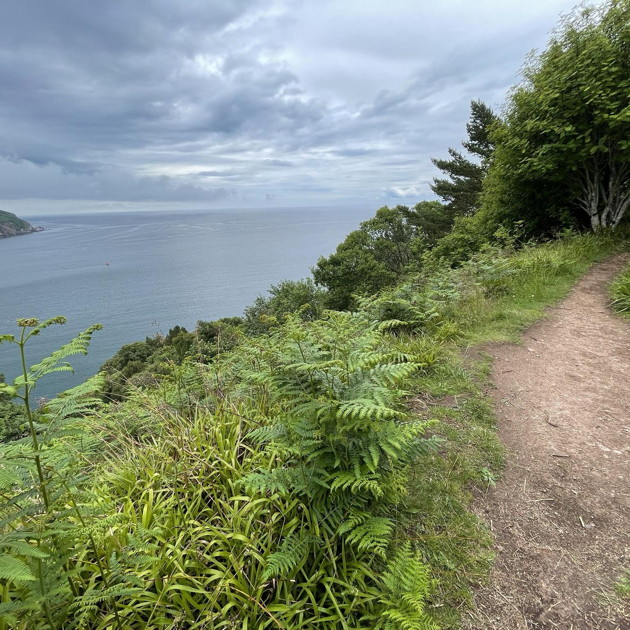
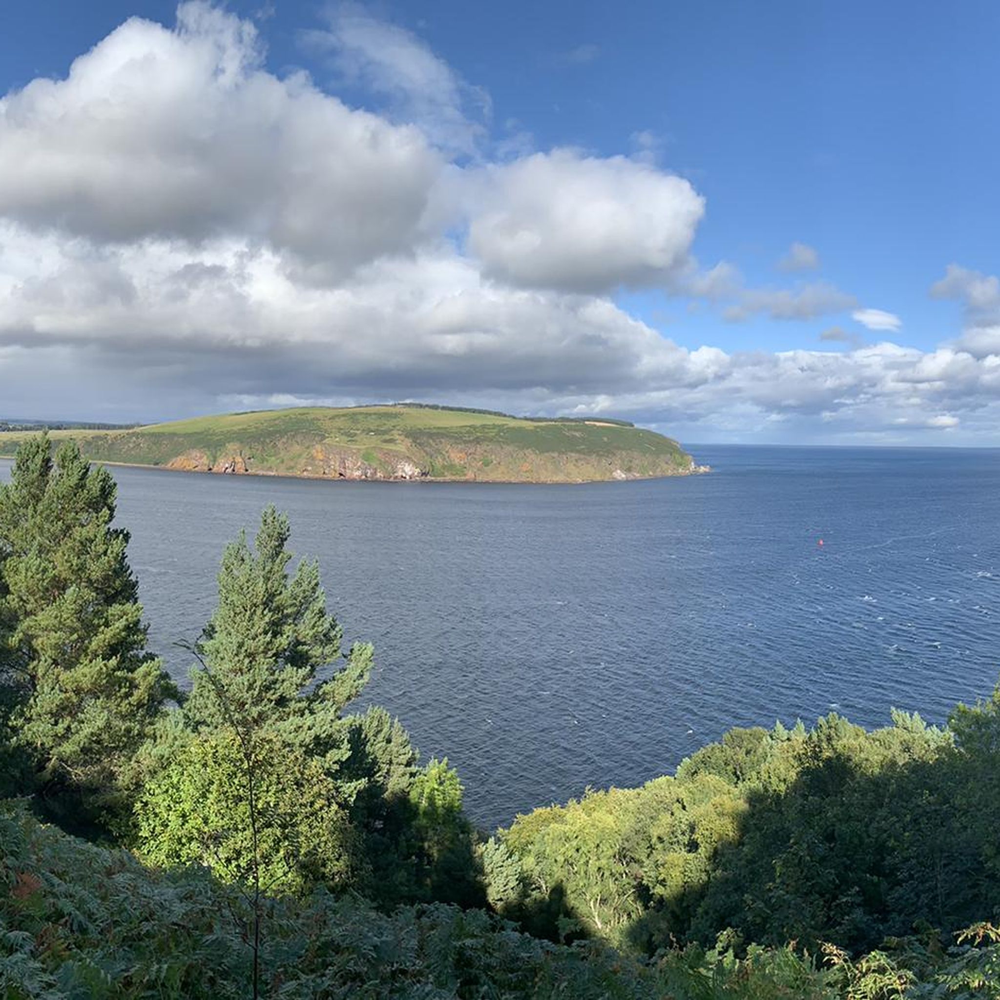
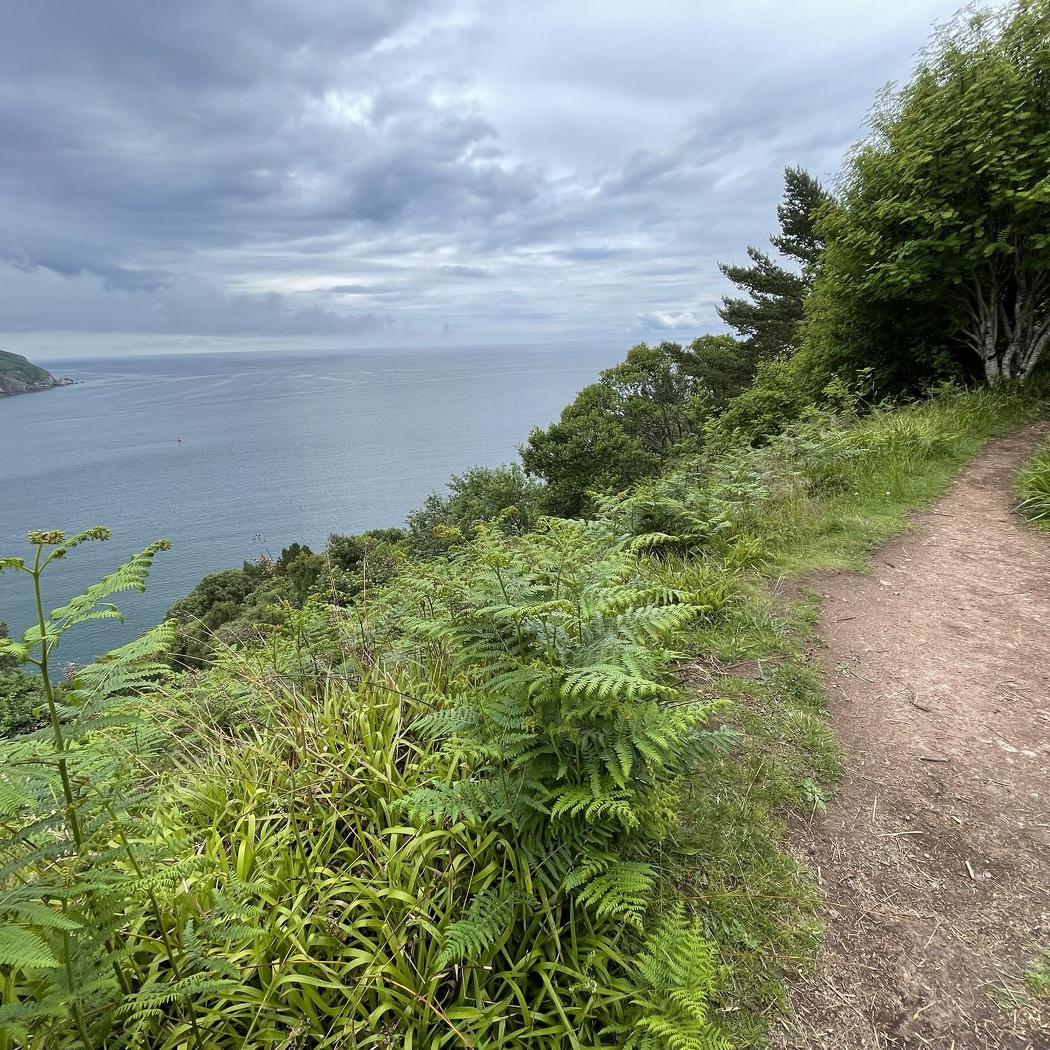
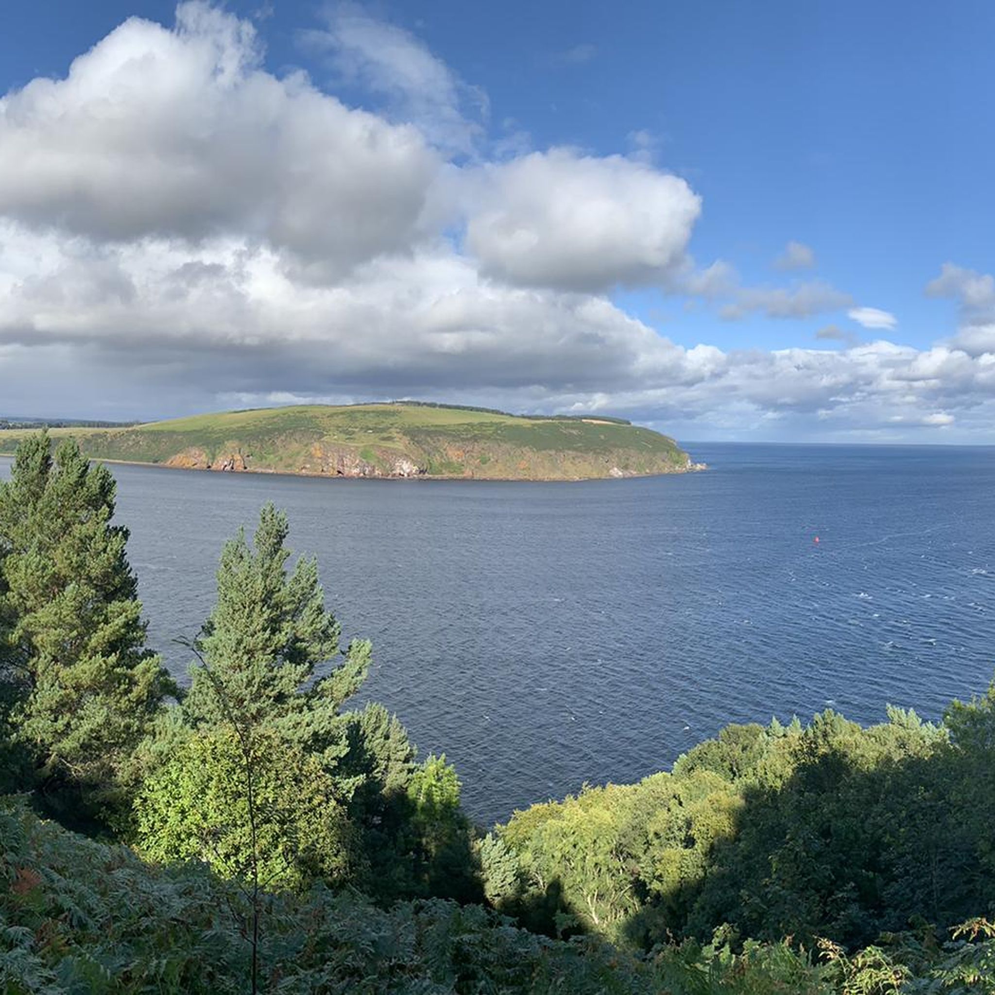
Tips from the Community

https://de.wikipedia.org/wiki/Hugh_Miller_%28Geologe%29 Important geologist of the early 19th century with a small but excellent museum.
0
0

Slaughter House cafe closed in Spring 2025 after the owner was unable to sell the business. It lay empty for a few months but was reopened in the summer under new ownership and it is now called The Last Splash. Very nice couple run it, great coffee - using the same beans as the old owner - and nice selection of cakes.
0
0

one track goes to big fence you can't get passed, locked
1
0

Super little cafe. If the ferry's not far, you can always grab a coffee and cake to go!
0
0

The battery and observation point at South Sutor were built to guard the strategically important Cromarty Firth naval port during both wars and were commissioned by Churchill. The views from the headland are stunning.
0
0
Outstanding artisan coffee, amazing cakes from Black Isle Baking, friendly staff. Open Thursday - Monday 0900-1500 (closed Tue/Wed).
1
0
Cromarty Firth has long been an important haven for ships, with its large size, sheltered aspect, deep waters and ease of defence. This led to its extensive use by the Royal Navy through both first and second world wars. Today, it is associated with the North Sea oil industry, with nearby Nigg and Invergordon being used as service and construction yards for the oil rigs. These rigs can often be seen from Cromarty, moored along the length of the Firth when not in active use out in the North Sea.
1
0

Battery and Observation Point built by RN guarded the strategically important Cromarty Firth naval port during both wars. Commissioned by Churchill. The main installations closed off due to structural issues (?) and asbestos.
2
0
Frequently Asked Questions
How many hiking trails are available in Nigg And Shandwick?
There are over 30 hiking routes available in Nigg And Shandwick, offering a diverse range of experiences. More than 20 of these are classified as easy, making the area accessible for various fitness levels.
What kind of terrain can I expect on hikes around Nigg And Shandwick?
The terrain in Nigg And Shandwick is characterized by a blend of coastal and estuarine environments. You'll find expansive mudflats, saltmarshes, and wet grasslands around Nigg Bay, alongside the sandy beaches and rocky outcrops of Shandwick Bay. The Cromarty Firth features intertidal sand and mud flats, with geological formations like Old Red Sandstone visible in inter-tidal zones and cliffs. Coastal paths are common, offering varied surfaces from sand to more rugged sections.
Are there any circular hiking routes in the area?
Yes, many of the trails in Nigg And Shandwick are circular. For example, the Crom Head loop from Cromarty is a popular moderate route offering expansive views. Another option is the easy Coastal Path with Sea View – View of Cromarty loop from Sutors of Cromarty.
Can I bring my dog on the hiking trails in Nigg And Shandwick?
Many trails in Nigg And Shandwick are dog-friendly, allowing you to enjoy the coastal and estuarine landscapes with your canine companion. However, as the area is a significant habitat for migratory birds and other wildlife, especially around Nigg Bay (a designated SSSI), it's crucial to keep dogs under close control or on a lead to protect local fauna and livestock.
Are there family-friendly walks suitable for children?
Yes, there are several easy routes suitable for families. The area's sandy beaches, like Shandwick Bay, offer pleasant, leisurely walks. Shorter coastal paths, such as the Coastal Path with Sea View – Gorse Fields loop from Sutors of Cromarty, are also good options for families looking for less strenuous hikes.
What wildlife might I encounter while hiking in Nigg And Shandwick?
Nigg And Shandwick is rich in wildlife, particularly birds. Nigg Bay is a crucial stop-over point for migratory birds, including pintails, pink-footed geese, and wintering wigeons, especially between October and March. The Cromarty Firth is home to bottlenose dolphins, harbour porpoises, grey seals, and harbour seals, with minke whales as seasonal visitors. Keep an eye out for dolphins and whales from coastal vantage points like Shandwick Bay.
What are some notable landmarks or viewpoints to look out for?
The region offers several interesting landmarks and viewpoints. The South Sutor Battery and Observation Point provides stunning views of the Cromarty Firth. You can also explore the Invergordon Street Art Murals nearby, which depict local history. The Nigg Old Church, with its 8th-century Pictish cross-slab, offers a glimpse into ancient heritage.
Is parking available for hikers in Nigg And Shandwick?
Yes, parking is generally available at common starting points for trails, particularly around popular coastal access points and villages. Specific parking details can often be found on individual route descriptions on komoot or local signage.
What is the best time of year to go hiking in Nigg And Shandwick?
The best time to hike in Nigg And Shandwick depends on your interests. For birdwatching, October to March is ideal due to the presence of migratory birds. Warmer months offer more pleasant weather for general hiking and enjoying the coastal scenery. Always be prepared for changeable Scottish weather regardless of the season.
Are there any cafes or pubs near the hiking trails?
While Nigg and Shandwick are smaller communities, you can find amenities in nearby towns. The The Last Splash is a cafe that can be found in the area. For more options, consider visiting nearby Tain or Invergordon, which offer a wider selection of cafes and pubs.
What do other hikers say about the trails in Nigg And Shandwick?
The trails in Nigg And Shandwick are highly rated by the komoot community, with an average score of 4.1 stars from over 130 reviews. Hikers often praise the diverse coastal views, the tranquility of the estuarine environments, and the opportunities for wildlife spotting.
Are there any specific natural features that make hiking in Nigg And Shandwick unique?
Absolutely. The region is unique due to the ecological significance of Nigg Bay, a vast expanse of mudflat and saltmarsh that is a designated Site of Special Scientific Interest (SSSI) and a haven for migratory birds. The dramatic 'Sutors' headlands guarding the Cromarty Firth, and the geological presence of Old Red Sandstone along the coast, also contribute to the area's distinct natural character.
Most popular attractions around Nigg And Shandwick

Get inspired with the komoot mobile app


Explore more
Browse the best Hikes in other regions.
