The best MTB trails around Gräfenthal
4.7
(1338)
3,179
riders
282
rides
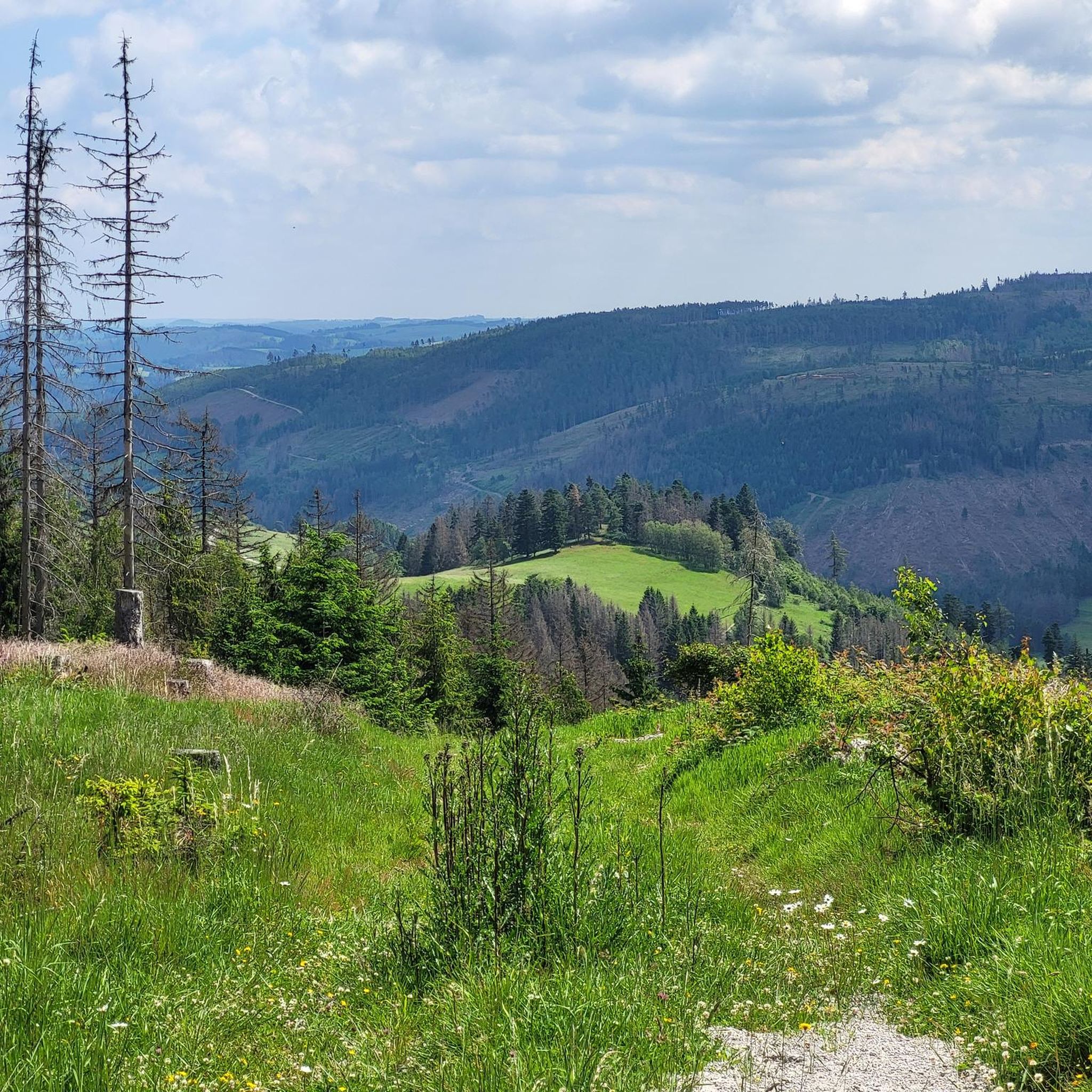
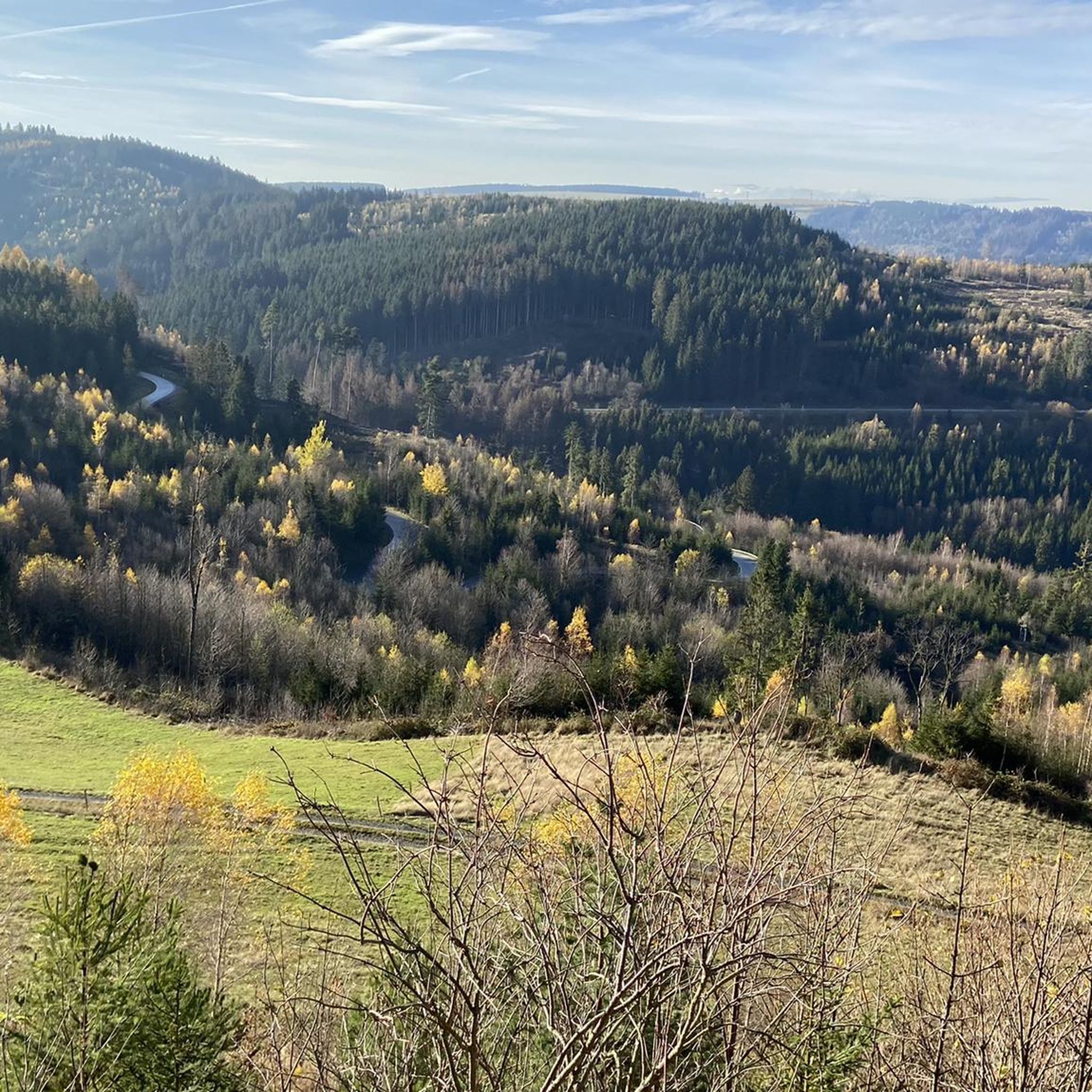
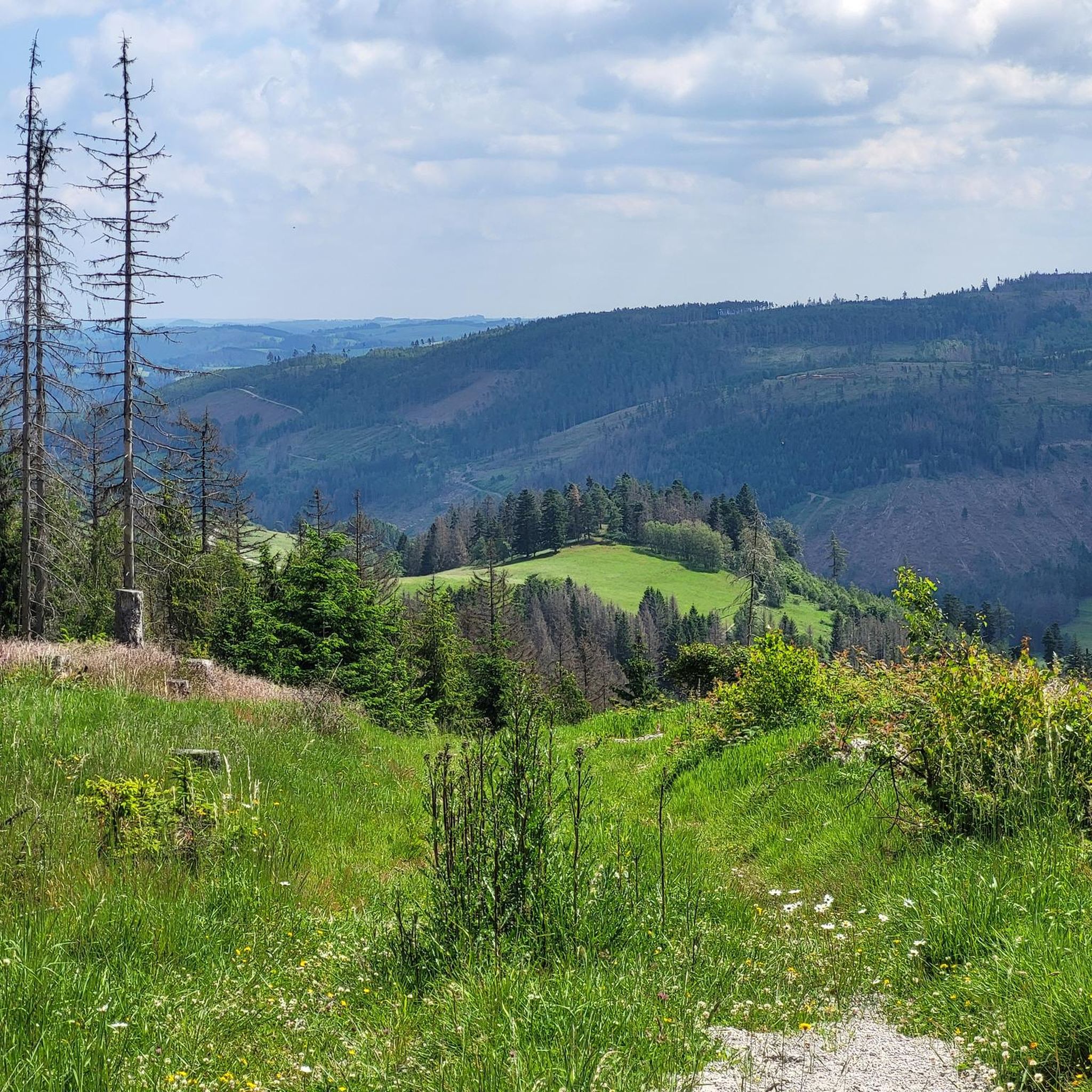
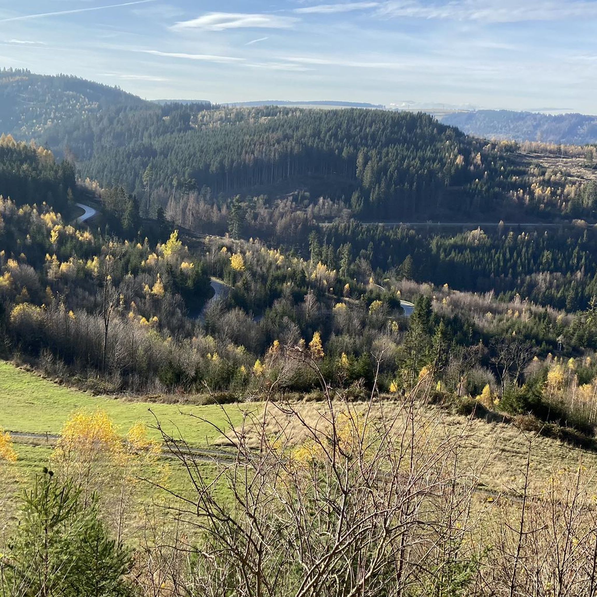
Mountain biking around Gräfenthal offers diverse terrain within the Thuringian-Franconian Slate Mountains. The region features undulating landscapes with wooded peaks, dense forests, meadows, and valleys. Elevation changes are significant, with peaks reaching up to 860 meters and the Saale river at approximately 300 meters. This environment provides varied mountain biking experiences, from short descents to challenging ascents.
Best mountain bike trails around Gräfenthal
- The most popular mountain bike trail is Altjägermoor – Red Tower Marker loop from Tettau, a…
Last updated: October 5, 2026
4.8
(6)
20
riders
40.9km
02:49
570m
570m
Moderate mountain bike ride. Good fitness required. Suitable for all skill levels.
4.6
(17)
17
riders
Moderate mountain bike ride. Good fitness required. Suitable for all skill levels.

4.5
(4)
19
riders
Moderate mountain bike ride. Good fitness required. Advanced riding skills necessary.
4.5
(8)
18
riders
30.8km
02:24
440m
440m
Moderate mountain bike ride. Good fitness required. Advanced riding skills necessary.
4.4
(7)
11
riders
21.0km
01:34
410m
410m
Moderate mountain bike ride. Good fitness required. Advanced riding skills necessary.
Get access to more routes and recommendations from other explorers.
Already have an account?
Our route recommendations are based on thousands of hikes, rides, and runs completed by other people on komoot.
Start today with a free account
Your next adventure awaits.

Tips from the Community

Nice place for a break
1
0

At the Schildwiese rest stop, there is a very special piece of Rennsteig history: a small customs house that is reminiscent of the former division of Germany. It was created by Günther Schmidt from Spechtsbrunn. With a lot of humor, he has designed a place here that recalls the time when the Rennsteig was actually divided by the border. Today, you can hike here without any passport control.
11
0
At the Nature Park Information Center „Kalte Küche“ on the Rennsteig, not only three nature parks meet, but also the three districts of Sonneberg, Kronach and Saalfeld/Rudolstadt. Here you will find information about the landscape, crafts and German-German history, as well as numerous free hiking maps. If you need a break, you can refresh yourself at the Rennsteig snack bar with small meals, drinks, coffee and cake. Opening hours: April to October: Tuesday to Friday 10 am - 4 pm, Saturday and Sunday 11 am - 4 pm. November to March: Tuesday to Friday 10 am - 3:30 pm. Monday is a rest day.
9
0
You have a beautiful view of the Thuringian village of Spechtsbrunn from the 725-meter-high Zimmerhügel.
8
0
Touringen combines the fun of hiking with adventure and a sense of discovery. You can hike a total of 430 Touringen stamps, which have been placed on the most beautiful Thuringian hiking trails. Stamp 323 can be found here at the memorial stone of the old military and trade route. This path already connected the metropolises of Leipzig and Nuremberg in the Middle Ages.
7
0
Through the construction of the GDR border facilities in 1962, the residents of Kleinlichtenhain found themselves in the curious situation of having to live in no man's land between the two German states. The Thuringian village with three houses and twenty inhabitants officially belonged to the GDR. However, because it was located in the narrow "Kleintettauer Winkel", which protruded like a spur into Bavarian territory, it was separated from GDR territory by the newly created death strip. The GDR citizens of Kleinlichtenhain could move freely to the West, but there was no way to get into the "Eastern Zone". The memorial with information boards and documentary photos commemorates this unusual situation.
17
0
During the Rennsteig Church Day on June 20, 2009, the memorial at Schildwiese was inaugurated. The metal cross, over four meters high, was designed by the builders from original parts of the old border fence. In front of it, a plaque on a stone block commemorates the people who died in this section of the inner-German border, and all victims of the wall and barbed wire during the German division.
8
0
The "Zollhaus" at the Rennsteig border monument is not a restored historical building. The hut was erected and equipped in autumn 2016 by the Frankenwaldverein Kleintettau. It is intended to commemorate the vibrant customs history of this border region and the era of German division. The monument also includes a historical border stone and two posts with the coats of arms of the Free State of Bavaria and the district of Kronach on one side, and the Free State of Thuringia and the district of Saalfeld-Rudolstadt on the other.
14
0
Frequently Asked Questions
How many mountain bike trails are available around Gräfenthal?
There are nearly 300 mountain bike trails around Gräfenthal. These routes offer a wide range of experiences, from easier paths to more challenging ascents and descents within the Thuringian-Franconian Slate Mountains.
What kind of terrain can I expect on mountain bike trails in Gräfenthal?
The terrain around Gräfenthal is characterized by undulating landscapes, dense forests of spruce trees, meadows, and charming valleys. You'll encounter wooded peaks reaching up to 860 meters and significant elevation changes, providing varied biking experiences with both short descents and challenging ascents. The region is part of the Thuringian-Franconian Slate Mountains.
Are there mountain bike trails suitable for beginners or less experienced riders in Gräfenthal?
Yes, Gräfenthal offers a good selection of trails suitable for various skill levels. While many routes are moderate, there are 44 easy mountain bike tours available. These trails typically feature less technical sections and more gradual climbs, perfect for those looking for a more relaxed ride.
What are some challenging mountain bike trails in the Gräfenthal area?
For experienced riders seeking a challenge, there are 36 difficult mountain bike trails around Gräfenthal. One such route is the Lauenstein Castle – Villa Falkenstein loop from Gräfenthal, which covers 21.4 km with over 400 meters of elevation gain. These trails often feature steeper climbs, technical descents, and more demanding terrain.
What are some scenic viewpoints or natural features to look out for on the trails?
The region is rich in natural beauty and offers several scenic spots. You can find stunning views from highlights like the Meuselbacher Kuppe Observation Tower and Guesthouse or the Fröbel Observation Tower. The area also features unique landscapes shaped by its slate mining heritage, such as the Lehesten Slate Quarry Industrial Heritage Site, where a blue-green lake has formed in a former opencast mine.
Are there any historical landmarks or castles accessible by mountain bike?
Yes, Gräfenthal is home to several historical landmarks. You can explore routes that pass by impressive structures like Lauenstein Castle or Wespenstein Castle, which is perched high above the town. The region also lies along historic routes like the Thuringian Porcelain Road, offering cultural insights alongside your ride.
What do other mountain bikers enjoy most about the trails in Gräfenthal?
The mountain bike trails around Gräfenthal are highly rated by the komoot community, with an average score of 4.7 stars from over 1,100 reviews. Riders often praise the diverse terrain, the extensive network of trails through dense forests and scenic valleys, and the varied experiences offered, from challenging ascents to enjoyable descents.
Can I find circular mountain bike routes in Gräfenthal?
Yes, many of the mountain bike trails in Gräfenthal are designed as circular routes, allowing you to start and end your ride in the same location. An example is the Owl Bench — View of the Leibis Reservoir – View of the Deesbach Pre-Dam loop from Schmiedefeld, which offers varied forest and valley terrain with reservoir views.
What is the best time of year for mountain biking in Gräfenthal?
The Thuringian Highland, including Gräfenthal, is generally best for mountain biking during the spring, summer, and autumn months. These seasons offer pleasant temperatures and drier trail conditions. While some trails might be accessible in winter, be prepared for snow and ice, especially at higher elevations.
Are there options for mountain bikers who prefer longer routes?
Absolutely. Gräfenthal offers numerous longer routes for endurance riders. For instance, the Altjägermoor – Red Tower Marker loop from Tettau is a moderate 40.9 km trail that navigates through the forested landscape of the Thuringian Highland, providing a substantial ride.
Are there any specific facilities for mountain bikers in the broader region?
While Gräfenthal itself is a great starting point, the broader Saalfeld-Rudolstadt district, where Gräfenthal is located, enhances the region's appeal for mountain bikers. This includes facilities like the 'Feen-Bike-Paradies Saalfeld MTB centre' and a bike park in Steinach, offering additional opportunities for riders.
What kind of elevation changes can I expect on the trails?
The region features significant elevation changes, making for dynamic rides. Peaks can reach 700 to 860 meters, while the Saale river lies at approximately 300 meters. This means you'll encounter varied ascents and descents, with some routes like the Owl Bench — View of the Leibis Reservoir – View of the Deesbach Pre-Dam loop from Schmiedefeld featuring over 770 meters of climbing.
Most popular routes around Gräfenthal
Most popular attractions around Gräfenthal

Get inspired with the komoot mobile app


Explore more
Browse the best MTB trails in other regions.
