The best walks and hikes around Grafenschachen
4.4
(166)
1,231
hikers
221
hikes
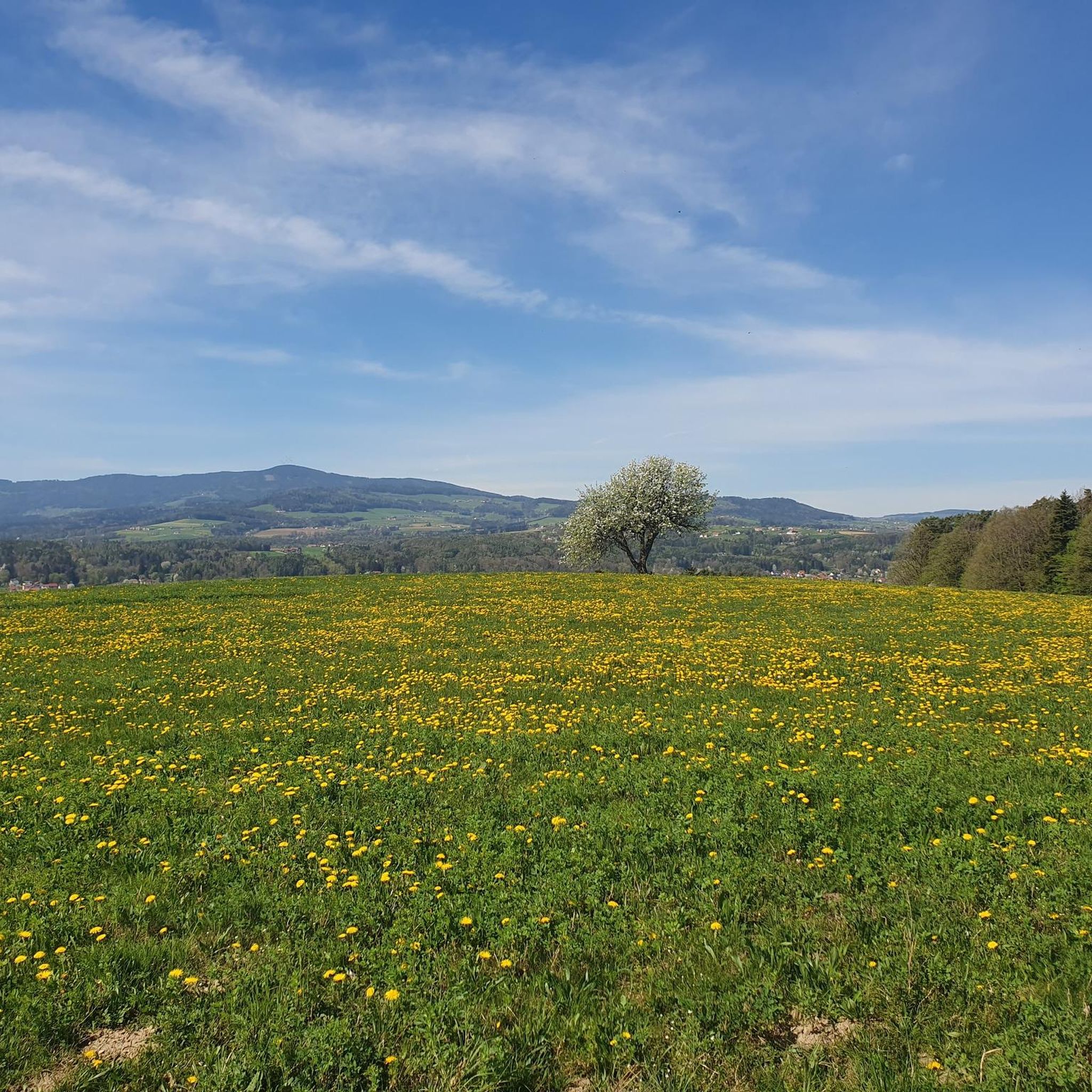
Hiking around Grafenschachen offers diverse trails within the rolling hills of Burgenland, a region characterized by its undulating terrain and the meandering Pinka River. The area provides a mix of landscapes, from river valleys to higher elevations, including Geschriebenstein, the highest point in southern Burgenland. The Pannonian Lowlands contribute to the rich natural diversity accessible from the village.
Best hiking trails around Grafenschachen
- The most popular hiking route is View of Pinkafeld – Dog's Dug Hole in the Forest loop…
Last updated: June 29, 2026
4.5
(2)
11
hikers
9.70km
02:39
150m
150m
Moderate hike. Good fitness required. Easily-accessible paths. Suitable for all skill levels.
9
hikers
Easy hike. Great for any fitness level. Easily-accessible paths. Suitable for all skill levels.

Sign up for free
8
hikers
8.14km
02:11
100m
100m
Moderate hike. Good fitness required. Easily-accessible paths. Suitable for all skill levels.
11
hikers
Easy hike. Great for any fitness level. Easily-accessible paths. Suitable for all skill levels.
5.0
(1)
8
hikers
8.39km
02:18
130m
120m
Moderate hike. Good fitness required. Easily-accessible paths. Suitable for all skill levels.
Get access to more routes and recommendations from other explorers.
Sign up for free
Already have an account?
Our route recommendations are based on thousands of hikes, rides, and runs completed by other people on komoot.
Start today with a free account
Your next adventure awaits.
Login or Signup

Tips from the Community


The state vocational school is housed in Batthyany Castle today. Instead of nobles, mechanics, carpenters, etc. apprentices move through the venerable walls today.
0
0
At the southern end of the main square, you will find the Marian column, first mentioned in 1757. In common parlance, it is often also called the "Women column".
0
0
Anyone doing a tour in the city can hardly avoid this place. Good coffee, delicious cakes, and a modern ambiance. We always enjoy coming back here when we are in town.
0
0
On the main square, as befits it, you will also find the Pinkafeld town hall. An impressive building completed in 1954, which almost gets lost due to its prominent proximity to historical sites. But nevertheless, a beautiful structure. We liked it.
0
0
The city museum is located north of the church. It looks a bit unassuming from the outside and is easy to miss. A special feature is the knight embedded in the facade. More information on opening hours and exhibitions can be found here: https://www.pinkafeld.gv.at/lieben/geschichte-tradition/stadtmuseum/
0
0
The former monastery in Pinkafeld. From the outside, it doesn't look like a monastery at all and has clearly been modernized and rebuilt over time. Today, it houses the nursing home of the Sisters of Mercy.
0
0
A beautiful church with a small, shady park next to it. You will also find some sculptures here, as well as the war memorial. We liked it here.
0
0
Frequently Asked Questions
What types of hiking trails are available around Grafenschachen?
Grafenschachen offers a diverse range of trails, from leisurely strolls along the meandering Pinka River to more challenging ascents like Geschriebenstein, the highest mountain in southern Burgenland. The region features rolling hills, river valleys, and views towards the Pannonian Lowlands, catering to various preferences and fitness levels.
How many hiking routes can I explore in the Grafenschachen area?
There are over 220 hiking routes available around Grafenschachen, offering a wide variety of distances, durations, and difficulty levels to suit every hiker.
What is the best time of year to go hiking in Grafenschachen?
The best seasons for hiking in Grafenschachen are spring and autumn. During these times, the mild temperatures and vibrant landscapes create an optimal and enjoyable outdoor experience.
Are there any family-friendly hiking options in Grafenschachen?
Yes, Grafenschachen offers several family-friendly trails. For instance, the ascent from the village square through the forest to Grafenschachen Castle is considered moderate and suitable for families, offering breathtaking views over the surrounding area.
Can I find circular hiking routes around Grafenschachen?
Yes, many routes in the area are designed as loops. An example is the Lafnitz River Near Neustift – Lafnitz Valley loop from Lafnitz, which offers a moderate 8.1 km experience through natural landscapes.
What historical sites or viewpoints can I discover while hiking?
Hikers can explore several interesting landmarks. The Ringwarte Observation Tower offers magnificent panoramic views. You can also visit the Dreiländerstein (Three-Country Stone), a historical monument marking the meeting point of three Austrian states. Additionally, the route to Grafenschachen Castle provides scenic vistas.
Are there any easy hiking trails suitable for beginners?
Yes, there are over 100 easy routes in the area. An example is the Pinkafeld Town Hall – St. Vinzenz Monastery Pinkafeld loop from Pinkafeld, an easy 5.1 km trail that takes about 1 hour 22 minutes to complete, leading through both urban and natural landscapes.
What do other hikers say about the trails in Grafenschachen?
The routes in Grafenschachen are highly rated by the komoot community, with an average score of 4.5 stars from over 145 reviews. Hikers often praise the well-marked trails, diverse landscapes, and the accessibility of routes for various skill levels.
Are there any trails that feature castles or ruins?
Yes, the region is home to several castles and ruins. You can explore areas around Thalberg Castle, or visit the Burg Thalberg loop from Rohrbach an der Lafnitz, a moderate 9.7 km path that explores the area around this historic site.
Are dogs allowed on the hiking trails in Grafenschachen?
While specific rules can vary, generally, dogs are welcome on many hiking trails in the Grafenschachen area, especially on natural paths. It's always recommended to keep dogs on a leash and ensure they are well-behaved, particularly in nature reserves or near livestock. A popular route that mentions dogs is the View of Pinkafeld – Dog's Dug Hole in the Forest loop from Pinkafeld.
Are there any trails along the Pinka River?
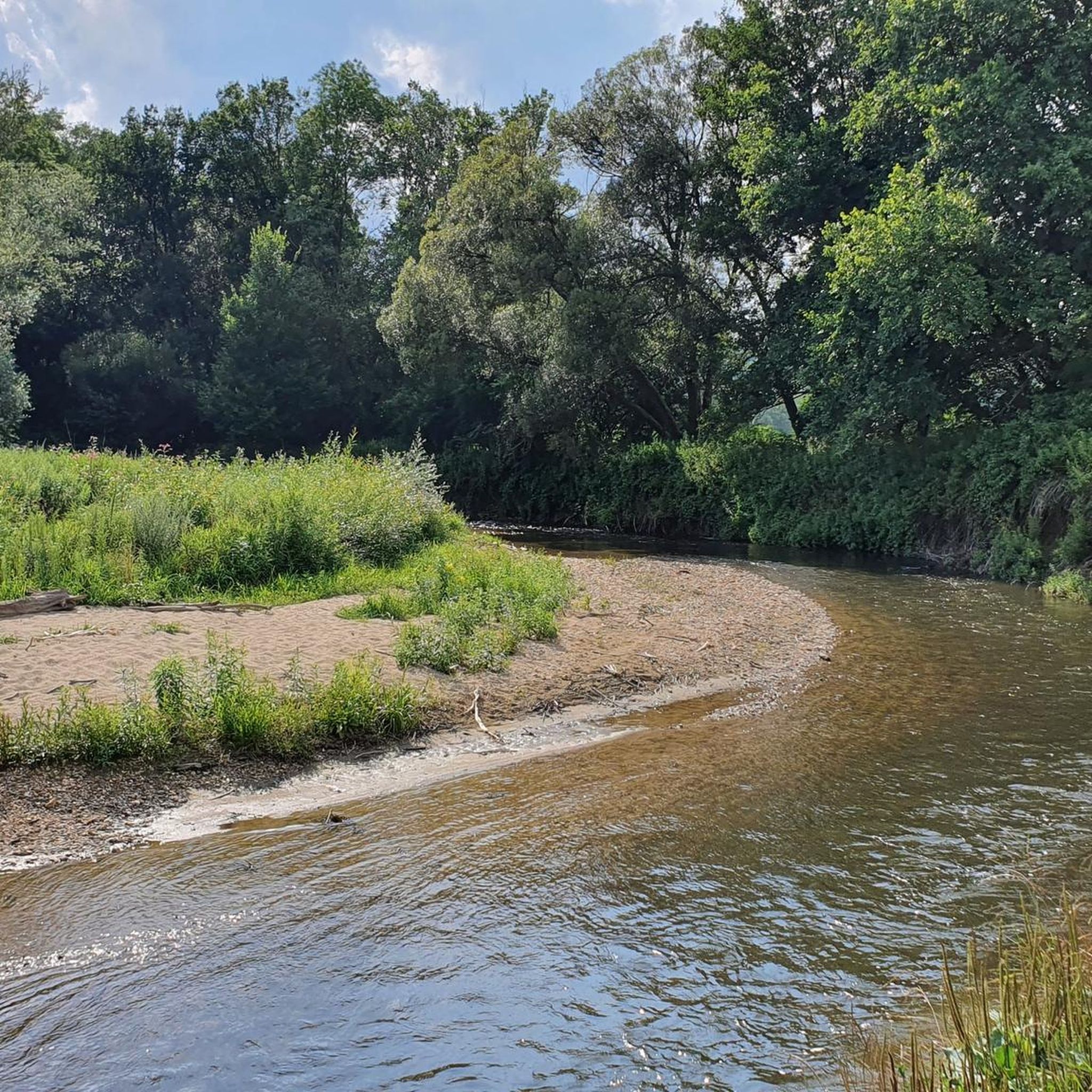
Yes, the Pinka River meanders through the valley of Grafenschachen, offering beautiful panoramas and numerous spots for rest along its banks. Hiking along the Pinka allows for a leisurely experience amidst a picturesque setting.
What is the highest point I can hike to in the region?
For more experienced hikers, the route up Geschriebenstein, the highest mountain in southern Burgenland, is highly recommended. From its summit, hikers can enjoy expansive views across the entire region, extending all the way to Hungary.
Most popular attractions around Grafenschachen

Get inspired with the komoot mobile app


Explore more
Browse the best Hikes in other regions.
