The best mountain hikes around Bearsden East
9
hikers
1
hike
Mountaineering routes around Bearsden East are situated on the northwestern fringe of Greater Glasgow, offering access to varied terrain. The region features distinctive geological formations like the Whangie Rock, part of the Kilpatrick Hills, and provides panoramic views towards Loch Lomond and the distant Highlands. Its proximity to the Campsie Fells, a range of volcanic hills, further expands the scope for outdoor activities, ranging from accessible hill walks to more strenuous ascents. Local woodlands and green spaces also contribute to…
Last updated: July 7, 2026
6
hikers
Easy mountaineering route. Great for any fitness level. Easily-accessible paths. Suitable for all skill levels.
2
hikers
11.3km
03:40
450m
450m
Moderate mountaineering route. Good fitness required. Easily-accessible paths. Suitable for all skill levels.

Sign up for free
1
hikers
Moderate mountaineering route. Good fitness required. Easily-accessible paths. Suitable for all skill levels.
Our route recommendations are based on thousands of hikes, rides, and runs completed by other people on komoot.
Start today with a free account
Your next adventure awaits.
Login or Signup
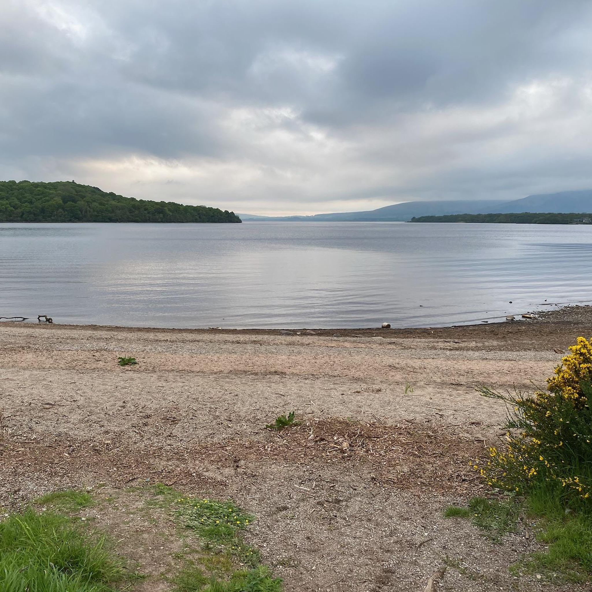
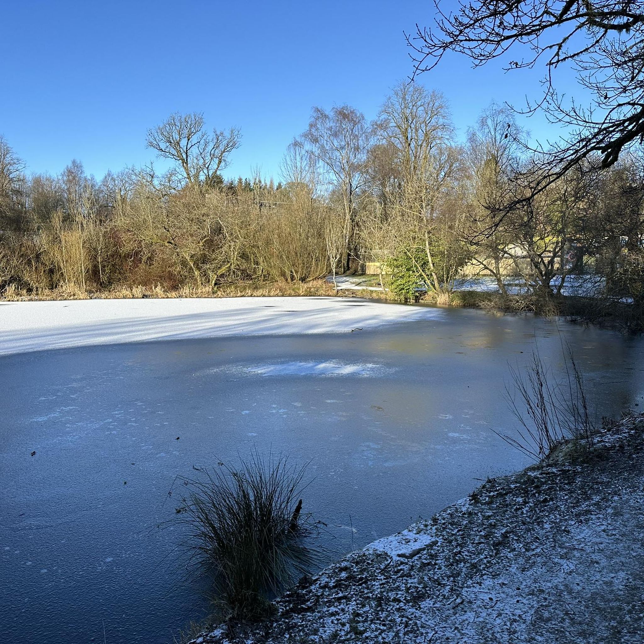
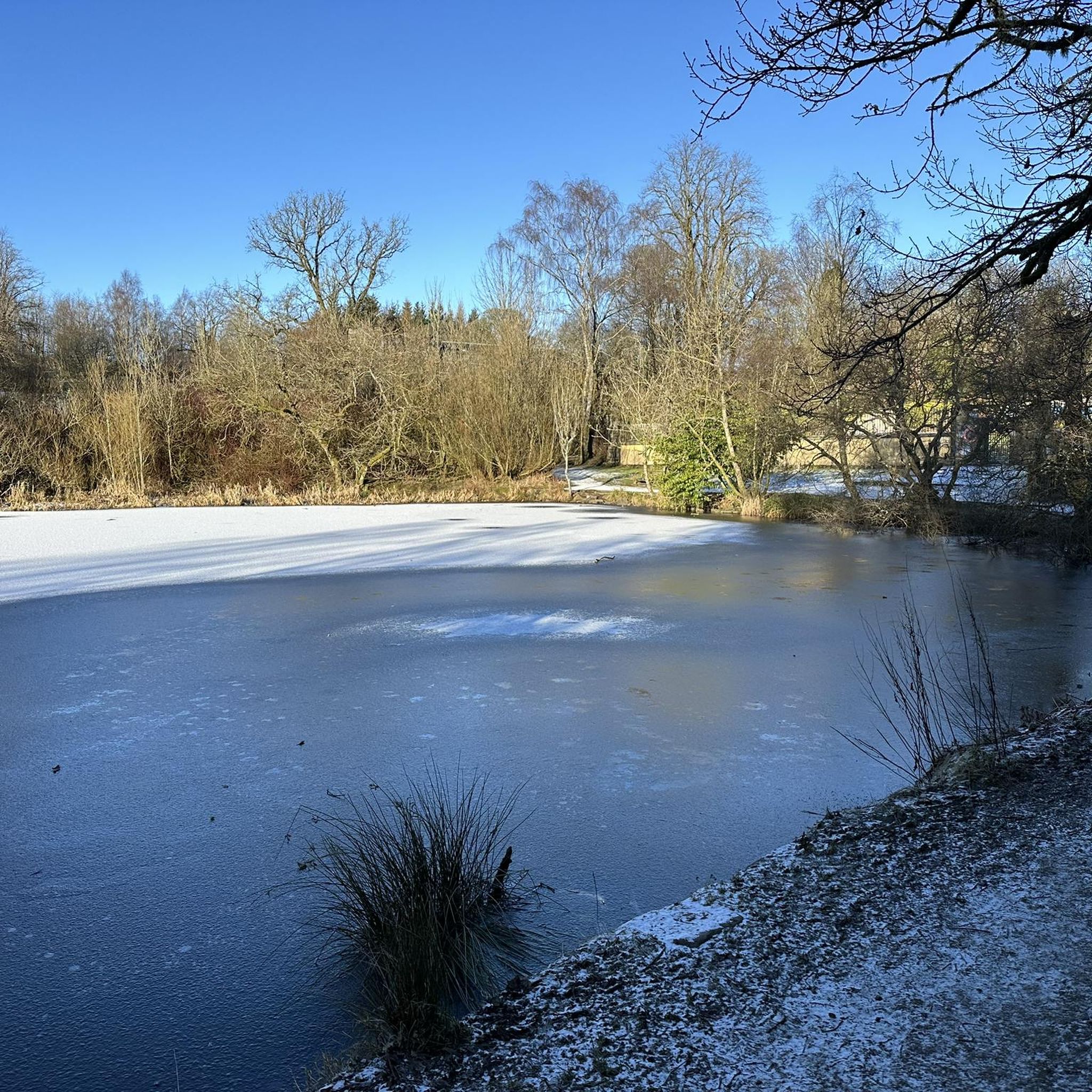

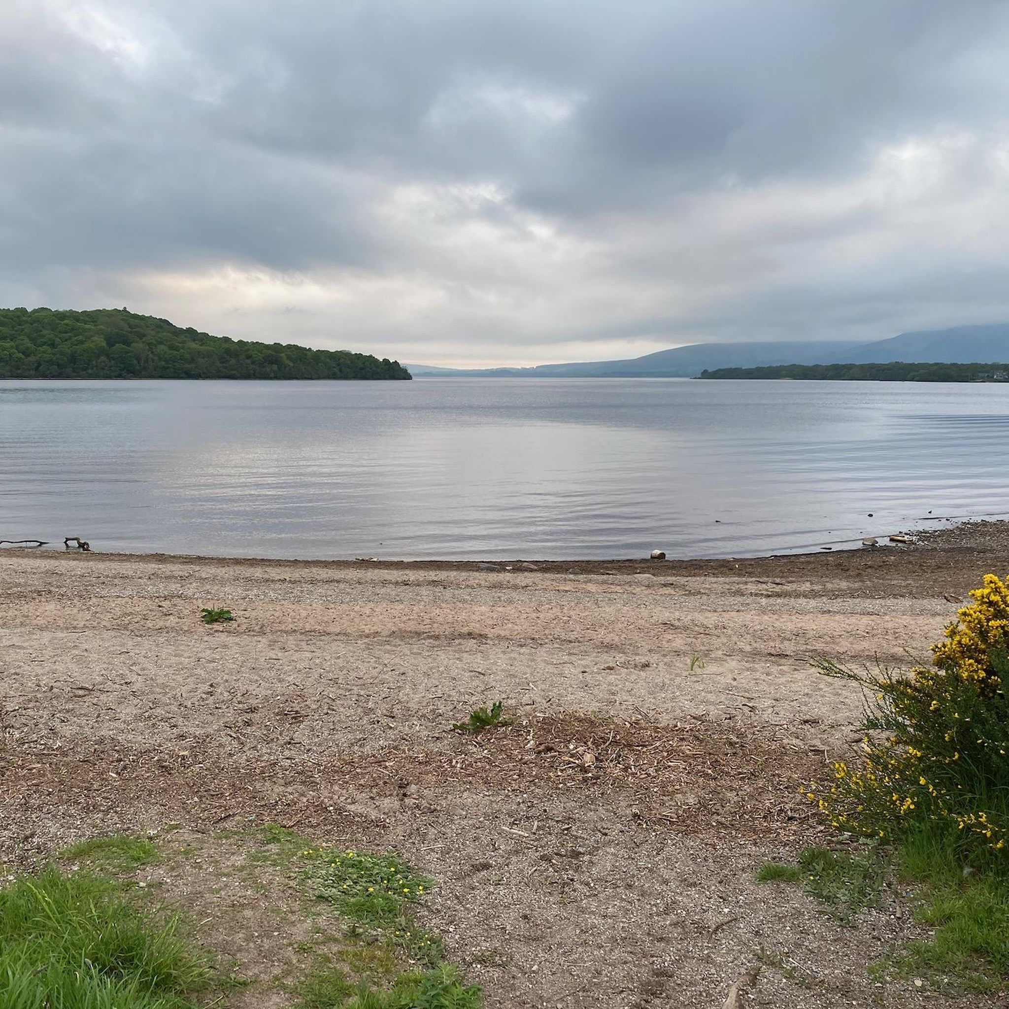
Tips from the Community

Great wee walk and easy for first timers.
0
0


Great view from the northern slopes of Auchineden Hill out over Loch Lomond to the Highlands beyond.
0
0

Treacherous road surface and lots of traffic on the Weekends. But the view is definitely worth it - especially if approaching from the South
0
0

There must be some sort of metal below ground as my two compasses were off!
0
0

An easy walk to the top of this hill which offers great views north towards Loch Lomond and the mountains, and south towards Glasgow. Combine it with the Whangie for a really interesting short walk
0
0
The Whangie is an amazing natural rock formation with far ranging views towards both Loch Lomond and Glasgow. You can walk right through the rock chasm and explore all the cool rock formation up close, meaning its a great place to explore for kids, or a sort walk with lots of interest for adults
1
0

The mural was created by Scottish artist Rogue Oner (aka Bobby McNamara), based on a photograph by Graham Watson. celebrating the achievements of Robert Miller now Philippa York
0
0
Frequently Asked Questions
How many mountaineering routes are available in the Bearsden East area?
The Bearsden East area offers a selection of mountaineering routes, with this guide featuring three distinct trails. These routes provide varied experiences, from shorter loops around unique geological features to longer ascents with panoramic views.
Are there any easy mountaineering routes suitable for beginners in Bearsden East?
Yes, for those new to mountaineering or looking for a less strenuous option, the Auchineden Hill Trig Point – The Whangie Rock Formation loop from Queen's View is an excellent choice. This 3.0-mile (4.7 km) route is rated as easy and takes you through the distinctive Whangie chasm, offering engaging terrain without excessive difficulty.
What kind of views can I expect on mountaineering routes around Bearsden East?
Mountaineering routes in Bearsden East offer diverse and often panoramic views. Trails like the Auchineden Hill Trig Point – The Whangie Rock Formation loop from Queen's View provide stunning vistas of Loch Lomond and the distant Highlands. Other routes, such as the Crichton's Cairn – View of Glasgow from Crow Road loop from Lennoxtown, offer extensive views across Glasgow and the volcanic hills of the Campsie Fells.
Are there any circular mountaineering routes in Bearsden East?
Yes, all the routes featured in this guide are circular, allowing you to start and end at the same point. For example, the Crichton's Cairn – View of Glasgow from Crow Road loop from Lennoxtown is a moderate 7.0-mile (11.3 km) loop, and the View of Glasgow from Crow Road – Crichton's Cairn loop from Muckle Alicompen is a 5.9-mile (9.4 km) circular trail.
What are some interesting natural features or landmarks to see along the routes?
The region is known for its distinctive geological formations. The Auchineden Hill Trig Point – The Whangie Rock Formation loop from Queen's View takes you directly through the Whangie, a unique chasm formed by glacial action. Beyond the routes, you might explore nearby natural highlights such as Craigallian Loch or the Duncolm Summit viewpoint.
Can I bring my dog on the mountaineering trails in Bearsden East?
Many of the trails in the Bearsden East area, including those in the Kilpatrick Hills and Campsie Fells, are generally dog-friendly. However, it's always advisable to keep dogs on a lead, especially near livestock or in areas with sensitive wildlife. Be prepared for varied terrain and ensure your dog is capable of handling the distance and elevation.
Are there any family-friendly mountaineering options in Bearsden East?
For families, the easier routes are a great starting point. The Auchineden Hill Trig Point – The Whangie Rock Formation loop from Queen's View, with its unique Whangie rock formation, offers an engaging and manageable adventure for families. Always consider the fitness levels of all family members and choose a route that matches their capabilities.
What is the best time of year to go mountaineering in Bearsden East?
The best time for mountaineering in Bearsden East is generally from spring through autumn (April to October) when the weather is milder and daylight hours are longer. During these months, trails are typically drier, and visibility for enjoying the panoramic views is better. Winter mountaineering is possible but requires appropriate gear and experience due to potentially challenging conditions like ice and snow.
What should I wear for mountaineering in Bearsden East?
Given Scotland's changeable weather, it's crucial to dress in layers. Essential gear includes waterproof and windproof outer layers, warm mid-layers, sturdy hiking boots with good ankle support, and moisture-wicking base layers. Always carry a hat, gloves, and sun protection, even on cloudy days, and pack extra food and water.
Are there any places to eat or drink near the mountaineering routes?
Bearsden East and the surrounding towns offer various pubs and cafes where you can refuel after your mountaineering adventure. While specific establishments are not directly on the trails, you'll find options in nearby villages like Lennoxtown or within Bearsden itself, providing a chance to relax and enjoy local hospitality.
What do other mountaineers enjoy most about the routes in Bearsden East?
Mountaineers often praise the unique geological features, such as the Whangie, and the rewarding panoramic views of Loch Lomond, the Highlands, and Glasgow. The accessibility to both the Kilpatrick Hills and the Campsie Fells from Bearsden East is also highly valued, offering a good mix of engaging terrain and stunning scenery.
Is public transport available to access mountaineering routes in Bearsden East?
Bearsden East is well-connected by public transport, making it a convenient base. While some trailheads might require a short walk or local bus connection from the main transport hubs, you can often reach the general area by train or bus from Glasgow. Planning your journey in advance using local transport timetables is recommended.
Where can I find parking for the mountaineering trails?
Parking is typically available near the starting points of many popular trails. For routes like those around the Whangie, designated parking areas can be found. For trails originating from villages such as Lennoxtown, village parking or roadside options may be available. Always check for local parking restrictions and fees before you go.
Most popular routes around Bearsden East
Most popular attractions around Bearsden East

Get inspired with the komoot mobile app


Explore more
Browse the best Mountain Hikes & Routes in other regions.
