The best road cycling routes around Lochrutton
4.6
(31)
1,808
riders
138
rides
Road cycling routes around Lochrutton offer varied terrain across Dumfries and Galloway, Scotland. The region features quiet roads, scenic lochs, and extensive woodlands, providing a diverse backdrop for cyclists. The landscape includes rolling hills and river valleys, with routes often avoiding major thoroughfares for a more tranquil experience. This area is characterized by its natural beauty, including Lochrutton Loch and nearby forests.
Best road cycling routes around Lochrutton
- The most popular road cycling route is View of Lochrutton loop from…
Last updated: July 9, 2026
21
riders
42.4km
01:55
330m
330m
Moderate road ride. Good fitness required. Mostly well-paved surfaces and easy to ride.
15
riders
54.4km
02:23
400m
400m
Moderate road ride. Good fitness required. Mostly well-paved surfaces and easy to ride.

Sign up for free
11
riders
26.0km
01:14
180m
180m
Easy road ride. Great for any fitness level. Mostly well-paved surfaces and easy to ride.
11
riders
Moderate road ride. Good fitness required. Mostly well-paved surfaces and easy to ride.
11
riders
14.3km
00:42
110m
110m
Easy road ride. Great for any fitness level. Mostly well-paved surfaces and easy to ride.
Get access to more routes and recommendations from other explorers.
Sign up for free
Already have an account?
Our route recommendations are based on thousands of hikes, rides, and runs completed by other people on komoot.
Start today with a free account
Your next adventure awaits.
Login or Signup
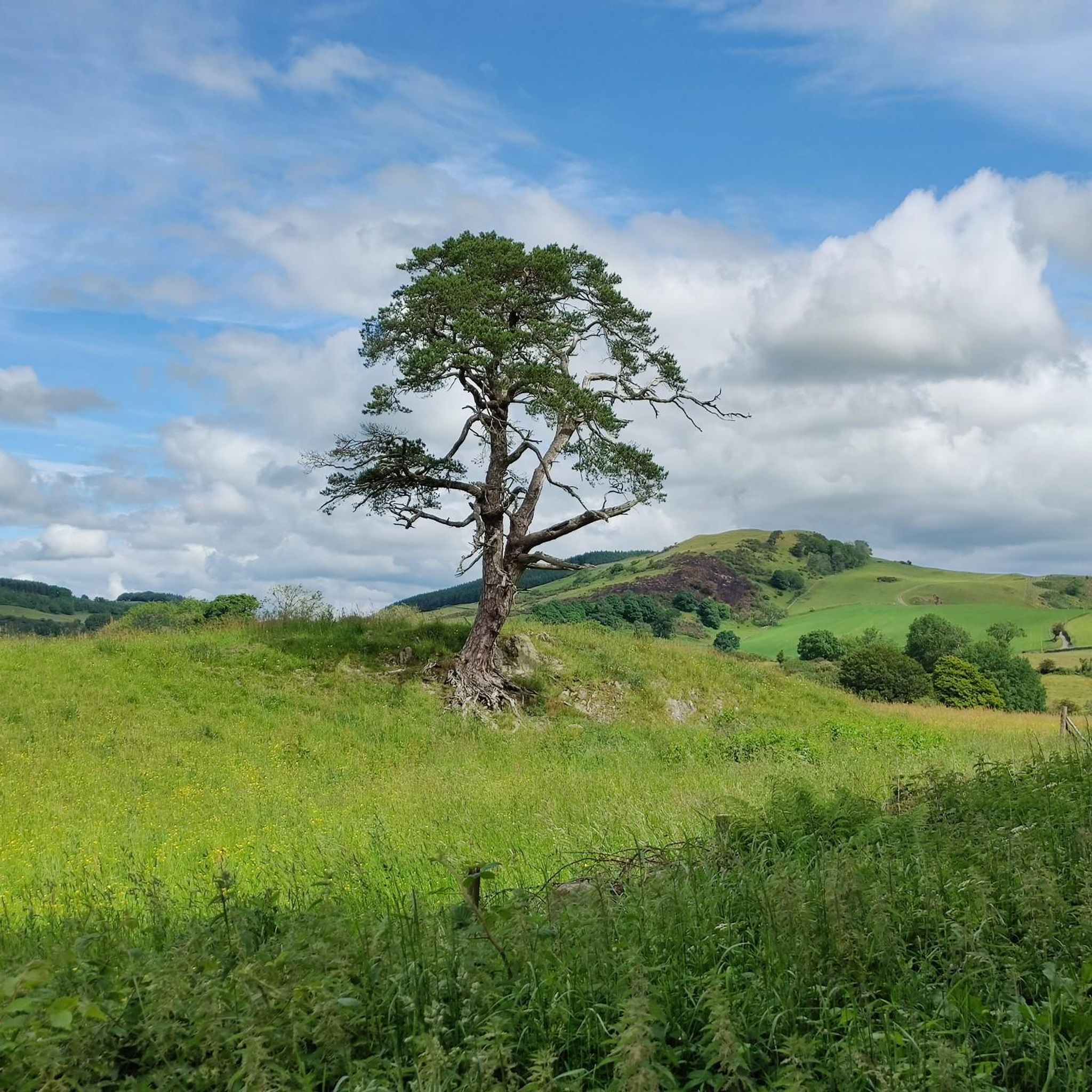
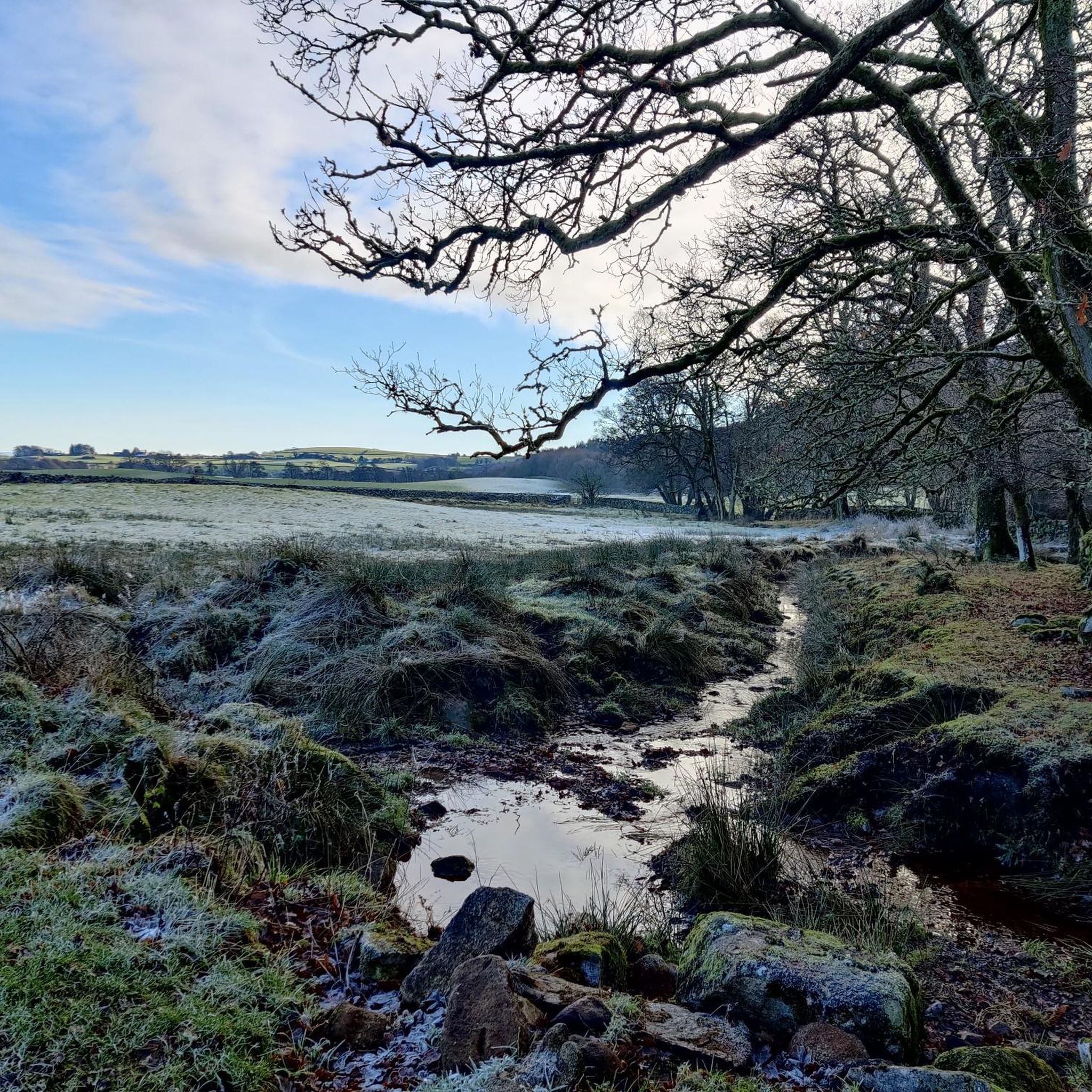
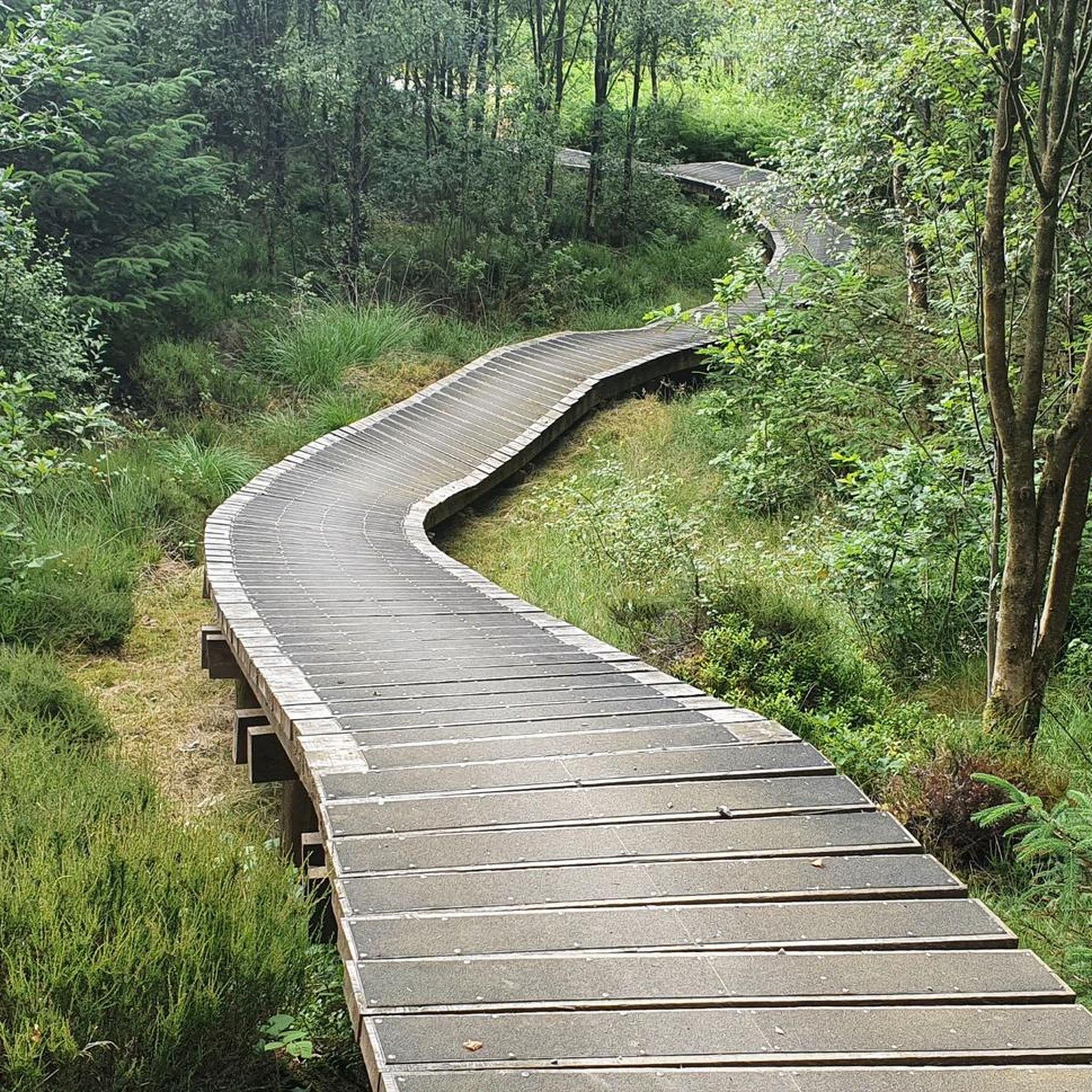
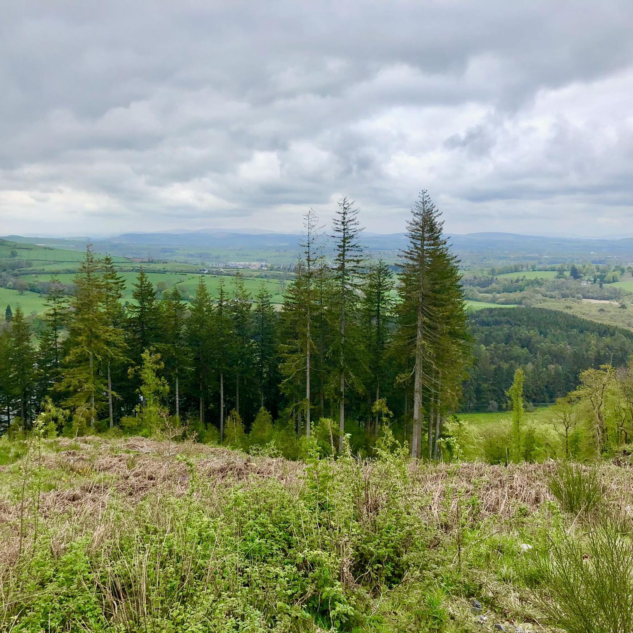
Tips from the Community

The Devorgilla Bridge (also known as Old Bridge) in Dumfries is one of Scotland's oldest surviving bridges. It spans the River Nith and dates back to a wooden bridge endowed around 1260 by Lady Devorgilla of Galloway. The present stone bridge mainly dates from the 15th century and has been rebuilt several times after flood damage. Originally it had nine arches, today six remain. Directly beside the bridge stands the historic Old Bridge House, one of the oldest houses in Dumfries. For hikers and history enthusiasts, the bridge is a landmark of Dumfries and a beautiful viewpoint over the River Nith.
0
0

Farm shop selling local produce. Has a sit-down, indoor café as well as an outdoor Bothy selling burgers and rolls.
0
0

The pedestrian bridge is one of the oldest in Scotland. Built in 1432, it crosses the River Nith in the town center and offers scenic views.
0
0

Some fine views over the Loch beside National Cycle route 7. Stop and take in the wildlife, with a good description of the various water-dwelling creatures in the area.
1
0

Nice Cafe, also a public loo in the Abbey car park which is in good order and well looked after.
0
0

Unfortunately the Abbey is currently closed to public access because of the risk of falling masonry. Let’s hope they get it open again soon.
0
0
Frequently Asked Questions
What kind of terrain can I expect on road cycling routes around Lochrutton?
Road cycling routes around Lochrutton offer varied terrain across Dumfries and Galloway. You'll find quiet country roads, scenic lochs, and rolling hills. The landscape includes river valleys and extensive woodlands, providing a diverse backdrop for cyclists. Routes often avoid major thoroughfares for a more tranquil experience.
How many road cycling routes are available in the Lochrutton area?
There are over 140 road cycling routes available around Lochrutton, catering to various skill levels. This includes 41 easy routes, 83 moderate routes, and 21 more challenging options.
Are there any easy road cycling routes suitable for beginners or families?
Yes, Lochrutton offers several easy road cycling routes. For instance, the Waterfall loop from Road End is an easy 16.1-mile (26.0 km) trail that can be completed in about 1 hour 13 minutes and includes a notable waterfall feature. Another easy option is the Bonerick Wood loop from Road End, which is 14.3 miles (23.0 km) long.
What are some scenic highlights or landmarks I can see while cycling around Lochrutton?
The region is rich in natural beauty and historical sites. You can enjoy picturesque views of Lochrutton Loch itself. Routes like the Loch Arthur – Sweetheart Abbey Ruins loop from Crocketford pass by the historic Sweetheart Abbey Ruins. Nearby natural features include Mabie Forest, known for its woodlands and wildlife, and Knockendoch Summit offers panoramic views.
Are there any circular road cycling routes around Lochrutton?
Yes, many of the road cycling routes around Lochrutton are designed as loops. A popular circular route is the View of Lochrutton loop from Beeswing, a moderate 26.3-mile (42.3 km) trail offering views of the loch and surrounding countryside.
What is the best time of year for road cycling in Lochrutton?
The best time for road cycling in Lochrutton is generally from spring through autumn (April to October) when the weather is milder and daylight hours are longer. The region's scenic landscapes are particularly vibrant during these seasons. While winter cycling is possible, be prepared for colder temperatures and potentially wet conditions.
What do other road cyclists say about the routes in Lochrutton?
The road cycling routes in Lochrutton are highly rated by the komoot community, with an average score of 4.6 stars from over 30 reviews. More than 1,800 road cyclists have used komoot to explore the area, often praising the quiet country roads, scenic lochs, and varied terrain.
Are there any routes that feature waterfalls?
Yes, the Waterfall loop from Road End is a 16.1-mile (26.0 km) easy trail that leads through varied landscapes and includes a notable waterfall feature, making it a popular choice for those looking for this specific natural attraction.
Where can I find parking for road cycling routes in Lochrutton?
While specific parking areas for each route are not detailed, many routes start from villages or towns like Beeswing, Crocketford, or Road End, where public parking may be available. It's advisable to check local parking options in these starting points before your ride.
Are there any challenging road cycling routes for experienced cyclists?
Yes, for experienced cyclists seeking more challenging rides, Lochrutton offers routes with greater distances and elevation gains. For example, the View of Criffel Hill – The Brow Well loop from Dumfries and Galloway Royal Infirmary is a moderate 47.4-mile (76.4 km) route with significant elevation, offering a more demanding experience.
Can I find cafes or pubs along the road cycling routes in Lochrutton?
While specific cafes or pubs are not listed for every route, the routes often pass through or near villages and towns in the Dumfries and Galloway region. These settlements typically offer amenities such as cafes, pubs, and shops where you can refuel and rest during your ride.
Most popular attractions around Lochrutton

Get inspired with the komoot mobile app


Explore more
Browse the best Road cycling routes in other regions.
