The best road cycling routes around Götzis
4.4
(982)
19,384
riders
15
rides
Road cycling routes around Götzis offer a diverse landscape for cyclists, nestled in the Austrian state of Vorarlberg. The region features a mix of demanding mountain passes and more relaxed valley rides, catering to various fitness levels. Cyclists can navigate winding pass roads, long mountain roads, and varied ascents and descents. The terrain includes the flat expanses of the Rhine Valley and significant elevation changes in the surrounding alpine foothills.
Best road cycling routes around Götzis
- The most popular road…
Last updated: October 17, 2026
4.6
(9)
302
riders
58.2km
02:52
860m
860m
Moderate road ride. Good fitness required. Mostly well-paved surfaces and easy to ride.
4.6
(14)
284
riders
Moderate road ride. Good fitness required. Some segments of this route may be unpaved and difficult to ride.

4.8
(4)
132
riders
59.2km
03:17
1,230m
1,230m
Hard road ride. Very good fitness required. Mostly well-paved surfaces and easy to ride.
4.5
(2)
83
riders
37.5km
01:42
400m
400m
Moderate road ride. Good fitness required. Some segments of this route may be unpaved and difficult to ride.
4.9
(7)
78
riders
46.9km
02:29
830m
830m
Moderate road ride. Good fitness required. Mostly well-paved surfaces and easy to ride.
Get access to more routes and recommendations from other explorers.
Already have an account?
Our route recommendations are based on thousands of hikes, rides, and runs completed by other people on komoot.
Start today with a free account
Your next adventure awaits.

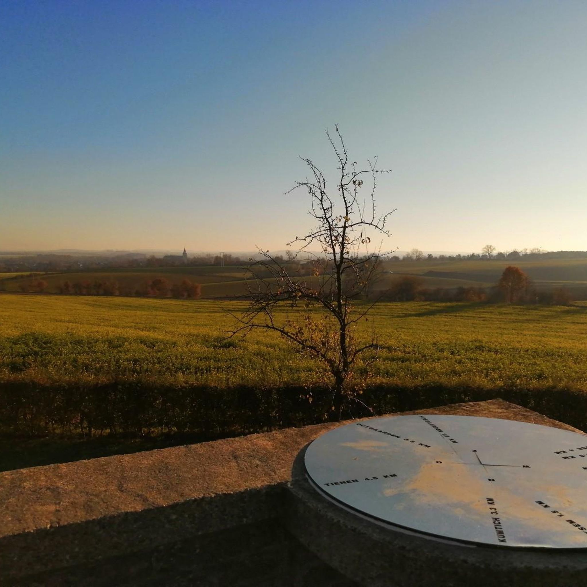
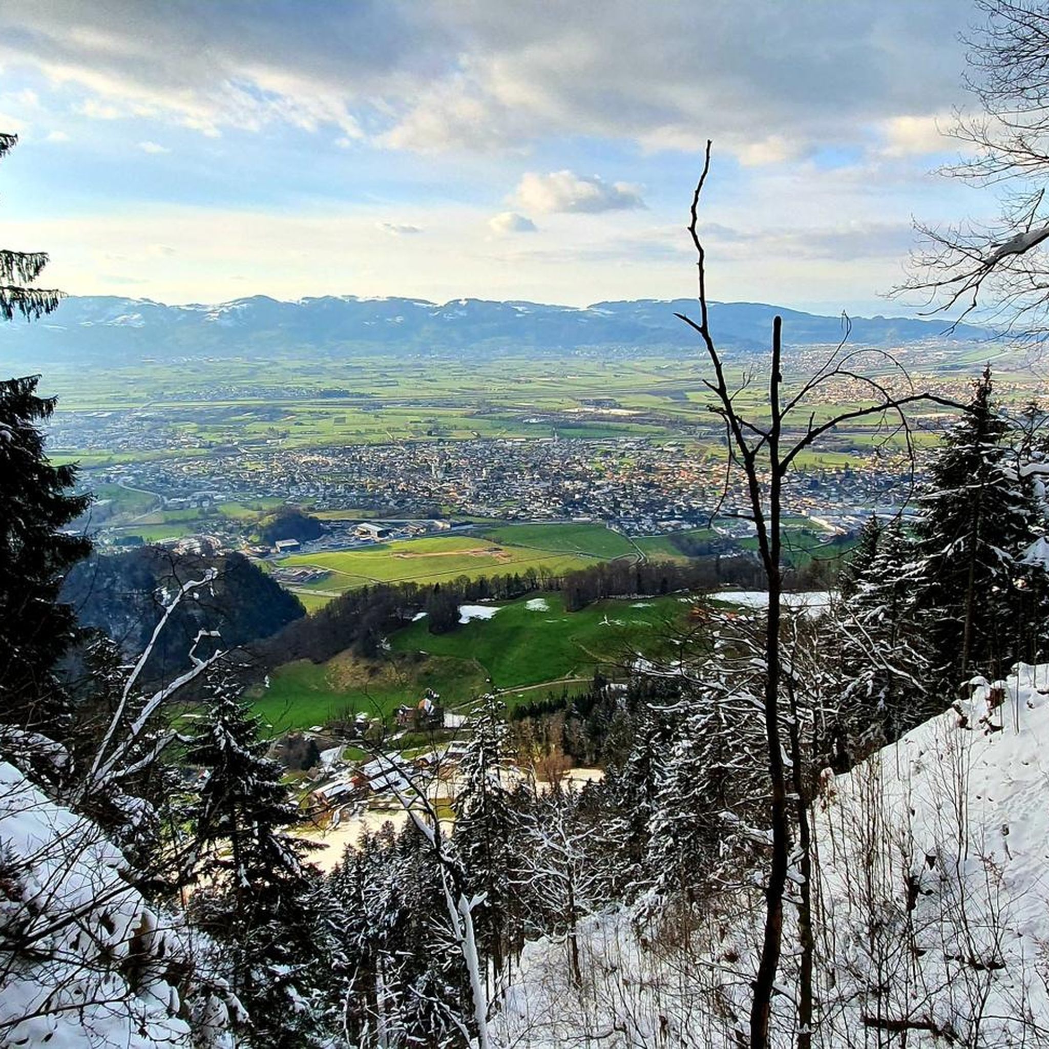
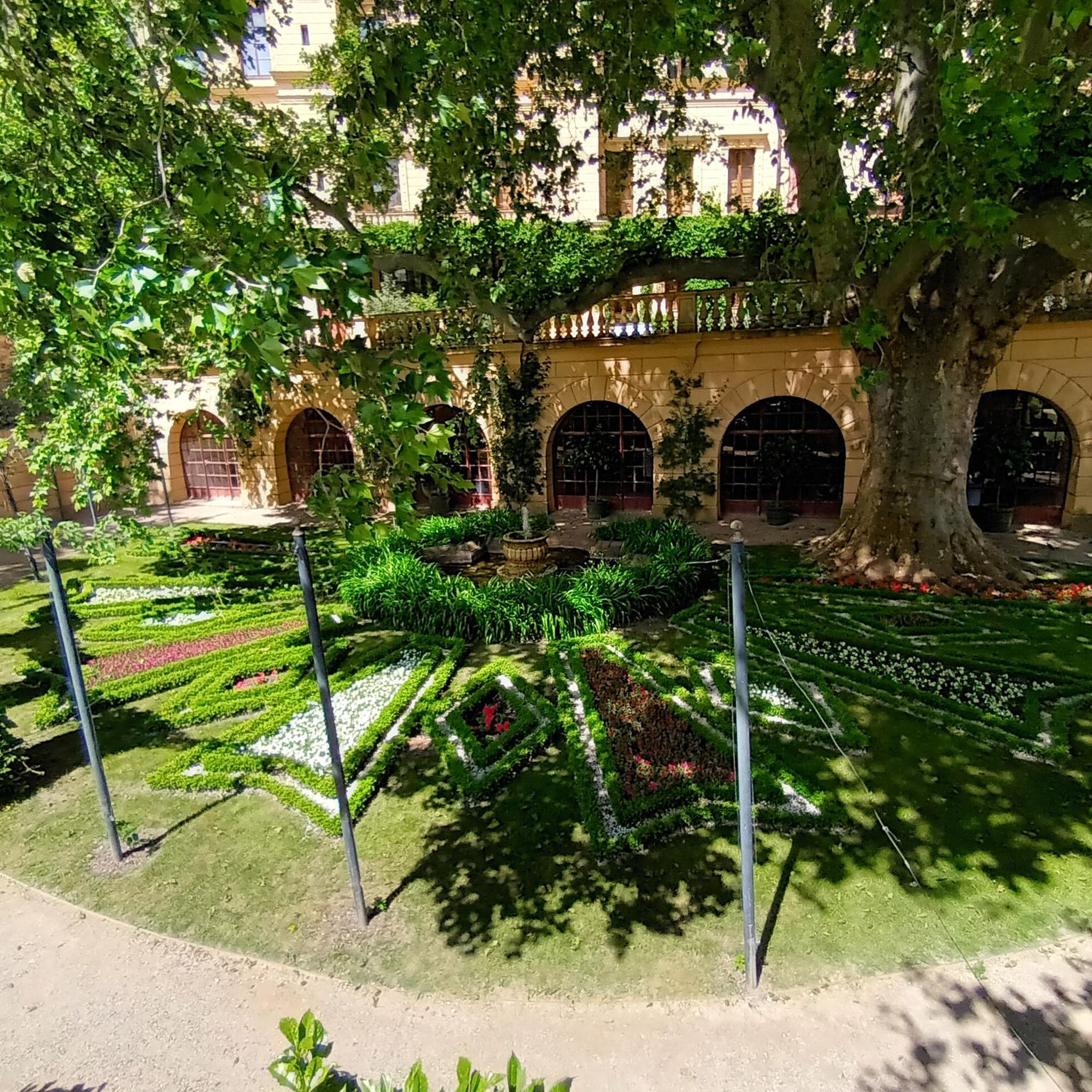


Tips from the Community

Up there, they have the biggest breaded schnitzels. They are so thin that there is more breading on them than meat.
0
0

Great bridge with plenty of space for cyclists!
1
0

North ascent to the Lorena Pass from Alberschwende.
0
0

Church, St. Apostle Andrew, Thüringerberg The church was built in the years 1782 and 1783 due to lack of space, but the consecration did not take place until 1790. In 1786, Thüringerberg finally got its own pastor, and the curacy was elevated to an independent parish in 1835. In 1864, the church received three new altars, which were replaced by a people's altar in 1960. The current altar has been in the church since 1990. The first organ was in 1805, and a new one was bought in 1860. Since 1994, the parish church has had a new organ again, which was largely financed by six organ godmothers. Since the church was too small from the very beginning, it was enlarged in 1894. In 1959/60, the church was extended again and also modernized. The last renovation took place in 1989/90. Text / Source: Großes Walsertal Tourismus, Rathausgasse 5, Bludenz https://www.vorarlberg-alpenregion.at/walsertal/de/pfarrkirche-hl-apostel-andreas_vc3870
15
0

YES, the HABSBURG is really worth a visit, not only because of the cool drinks they have there, but also salads (small and large) with chicken strips and homemade special sauces/dips. What can I say, just try it yourself!!
0
0


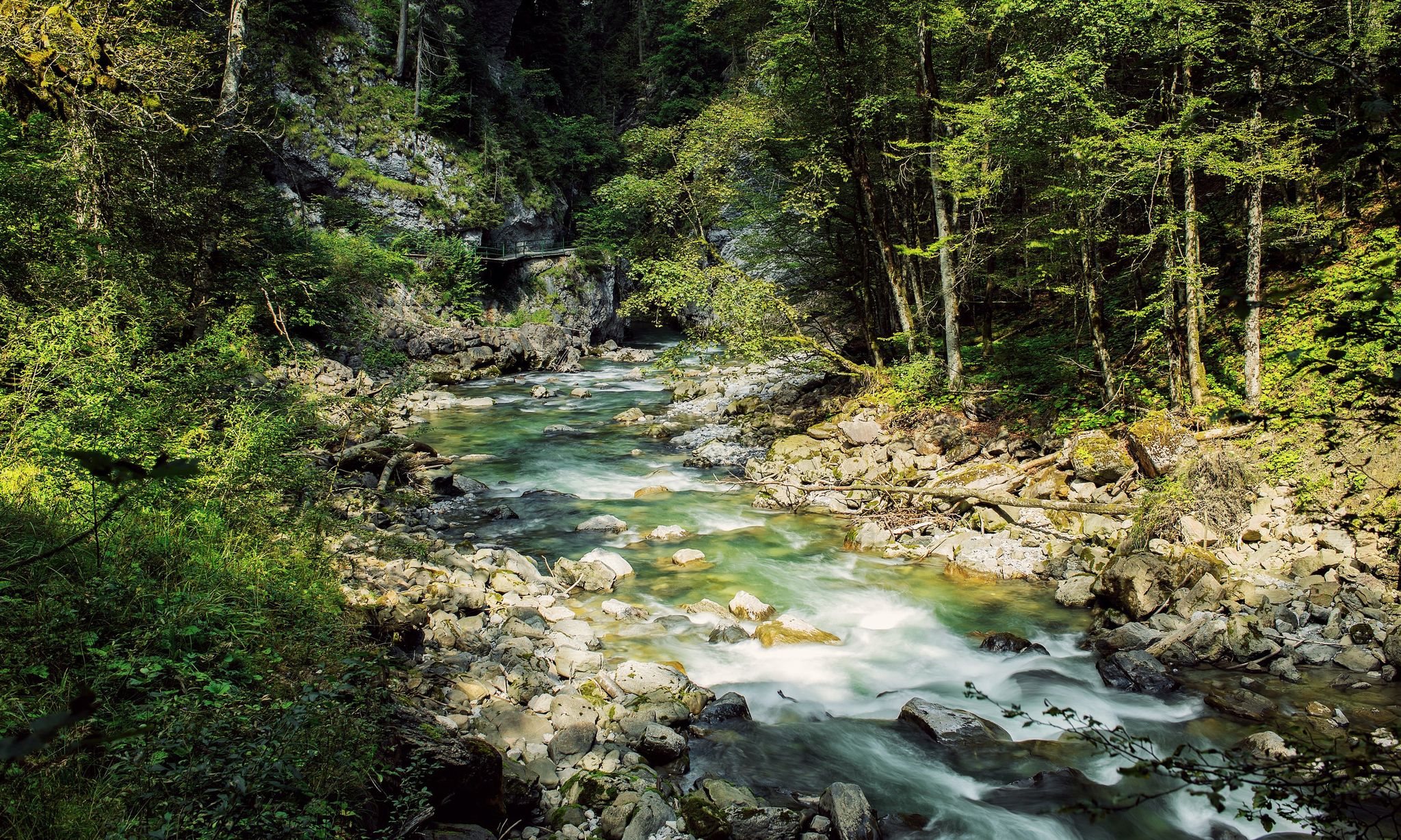
The water of the Bregenzerwald originates in the mountains and flows through the heart of Dornbirn in gentle steps.
3
0

Great view of Schattenburg Castle, a landmark of Feldkirch. Beautifully located 🫶
1
0
Frequently Asked Questions
How many road cycling routes are available around Götzis?
There are 16 road cycling routes around Götzis, offering a diverse range of experiences. These include 5 easy, 9 moderate, and 2 difficult routes, catering to various fitness levels.
When is the best time of year for road cycling in Götzis?
The best seasons for road biking in Götzis and the wider Vorarlberg region are generally spring and autumn, due to milder weather and less traffic. Summer is also ideal, especially for tackling higher mountain passes.
What kind of terrain can I expect on road cycling routes in Götzis?
Road cycling routes around Götzis offer a diverse landscape. You can expect demanding mountain passes with significant elevation changes, as well as more relaxed valley rides through areas like the Rhine Valley, which features flatter, well-developed cycle paths. The terrain includes winding pass roads, long mountain roads, and varied ascents and descents.
Are there easy road cycling routes suitable for beginners in Götzis?
Yes, Götzis offers several easy road cycling routes. For a more relaxed ride with minimal elevation gain, consider the New Rhine bridge near Fussach – Dornbirner Ache loop from Götzis, which covers 58.4 km with only about 90 meters of elevation. The Rhine Valley generally provides flatter options ideal for beginners or those seeking a less strenuous ride.
Where can I find challenging road cycling routes with significant climbs near Götzis?
For experienced riders seeking a challenge, Götzis provides routes with significant elevation gains. The Bödele – Losen Pass (1,140 m) – Lorenapass South Side loop from Götzis is a difficult 59.8 km trail with over 1,230 meters of climbing. The wider Vorarlberg area also features demanding passes like Hochtannberg Pass, Flexen Pass, Faschinajoch, Furkajoch, and the Silvretta High Alpine Road.
Are there any family-friendly road cycling options in Götzis?
While specific 'family-friendly' road cycling routes are not explicitly listed, the flatter sections of the Rhine Valley, accessible from Götzis, offer well-developed cycle paths that are suitable for more relaxed rides. These areas provide a safer and less strenuous environment for families to enjoy cycling together.
Can I find road cycling routes that are loops around Götzis?
Yes, many of the road cycling routes around Götzis are designed as loops, allowing you to start and end at the same point. Examples include the Church of Thūringerberg – Black Lake loop from Götzis and the Ill River Footbridge – View of Schattenburg Castle loop from Götzis.
What scenic viewpoints can I reach on a road bike around Götzis?
The region around Götzis offers several stunning viewpoints. While cycling, you might encounter vistas like the Therenberg viewpoint, which provides expansive views across Götzis and towards Lake Constance. The Karren Viewing Platform also offers a fantastic panorama of the Rhine Valley and Lake Constance, though reaching it might involve a detour or a more challenging climb.
Are there any interesting natural or historical sites to see along the road cycling routes?
Yes, the area is rich in natural beauty and historical sites. While cycling, you might pass by impressive gorges like the Örflaschlucht or Mitzgebach gorge, which showcase the region's geological history. Historic sites such as the ruins of Neu-Montfort and the chapel of St. Loy are also part of scenic loops. For specific mountain passes, you can explore highlights like High Saddle or Guntensattel.
Is parking available at the trailheads for road cycling routes in Götzis?
Yes, parking is generally available near the starting points of many routes. For example, the Schuttannen Parking and Trailhead is a known location that can serve as a starting point for various outdoor activities, including cycling routes in the area.
What do other road cyclists enjoy about the routes around Götzis?
The road cycling routes around Götzis are highly rated by the komoot community, with an average score of 4.7 stars from over 29 reviews. Cyclists often praise the diverse landscape, which offers a mix of challenging mountain passes and more relaxed valley rides, as well as the varied ascents and descents that keep the rides engaging.
Are there road cycling routes with cafe stops or places to rest in Götzis?
Many road cycling routes in the Götzis region pass through or near villages and towns where you can find cafes, restaurants, and other amenities for a rest stop. Additionally, the area features several huts and alms, such as Emser Hut or Alpe Kobel, which can offer refreshments, especially on longer or more remote routes.
Most popular routes around Götzis
Most popular attractions around Götzis

Get inspired with the komoot mobile app


Explore more
Browse the best Road cycling routes in other regions.
