The best road cycling routes in Seal Bay Regional Nature Park
4.6
(12)
242
riders
15
rides
Road cycling routes in Seal Bay Regional Nature Park traverse a diverse landscape of 642 hectares, featuring regenerated second-growth forests dominated by Douglas fir, big-leaf maple, and red alder. The terrain includes steep ravines and offers coastal access with ocean views along the eastern side. While the park's interior trails are primarily multi-use gravel, the surrounding roads provide paved surfaces suitable for road cycling, with varying elevation gains.
Best road cycling routes in Seal Bay Regional Nature Park
- The most…
Last updated: August 18, 2026
6
riders
Moderate road ride. Good fitness required. Some segments of this route may be unpaved and difficult to ride.
4.7
(9)
37
riders
30.9km
01:26
290m
290m
Moderate road ride. Great for any fitness level. Some segments of this route may be unpaved and difficult to ride.

Sign up for free
5.0
(1)
11
riders
16.4km
00:45
110m
110m
Easy road ride. Great for any fitness level. Mostly well-paved surfaces and easy to ride.
54
riders
125km
05:21
840m
840m
Hard road ride. Very good fitness required. Some segments of this route may be unpaved and difficult to ride.
22
riders
66.9km
03:50
1,240m
1,240m
Hard road ride. Very good fitness required. Mostly well-paved surfaces and easy to ride.
Get access to more routes and recommendations from other explorers.
Sign up for free
Already have an account?
Our route recommendations are based on thousands of hikes, rides, and runs completed by other people on komoot.
Start today with a free account
Your next adventure awaits.
Login or Signup
Tips from the Community

Wildwood Interpretive Forest is a popular natural area located near Courtenay in the Comox Valley. Covering approximately 276 hectares (682 acres), the forest features an extensive network of well-maintained multi-use trails that provide opportunities for hiking, trail running, mountain biking, and nature appreciation. Surrounded by the beauty of Vancouver Island’s coastal landscape, the forest offers visitors a peaceful setting for outdoor recreation and exploration.
0
0
Wildwood Road is a quiet gravel access road that serves as one of the main gateways to the Wildwood Interpretive Forest. The road also connects to routes that follow historic logging roads, former rail grades, and utility corridors, offering a glimpse into the area's transportation and forestry heritage. For many visitors, Wildwood Road is the starting point for exploring the forest’s natural beauty and recreational opportunities.
0
0

You can park on Piercy Road across from the yellow gate under the power lines, by the K'omos Treat Lands sign. From here, walk past the yellow gate and follow the powerline trail for a short ways to reach the turnoff for the falls.
0
0

Comox North East Woods is a protected forest shaped by residents who resisted development plans in the 1990s and helped secure the land for conservation. With additional forest and trails leased by K’ómoks First Nation for public recreation, the area protects a rich mix of habitats, from wetlands and riparian zones to rare sand dune plant communities and old-growth upland forest.
0
0
There are a bunch of seaplanes and other small aircraft that are usually parked along the fence opposite the Riverway Path. You can check them out as you pass by.
0
0
This path takes you through Courtenay's urban area, partially sheltered on either side by strips of greenery, between downtown and the riverfront. You share the path with cyclists, but the trail is paved and divided to ease multi-use traffic.
0
0

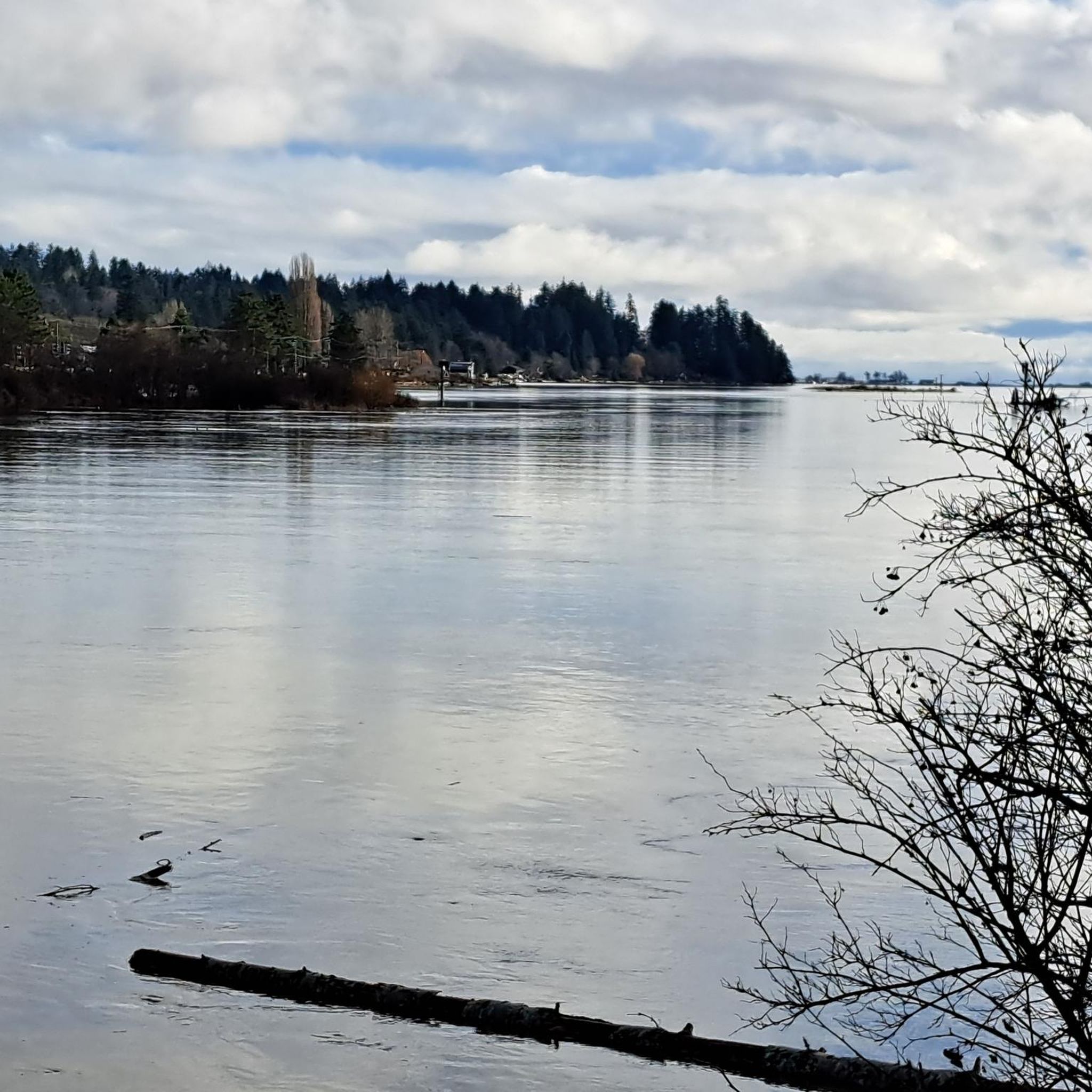
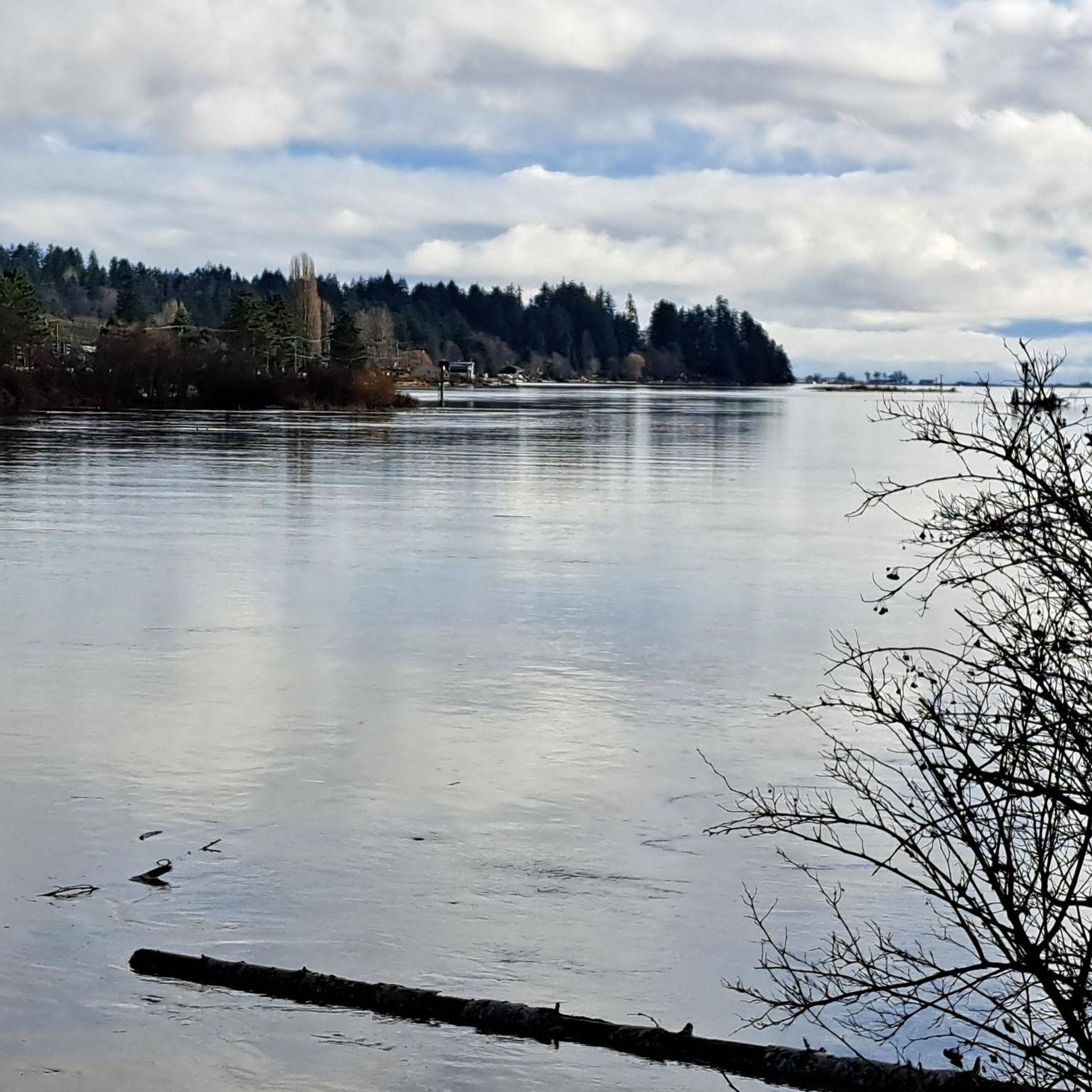
Comox Harbour is a sheltered inlet on the east coast of Vancouver Island, opening into the Strait of Georgia. The water is generally calm, shaped by tides that expose mudflats and sandbars along the shoreline. Backed by distant mountains and coastal communities, it forms a wide, open marine landscape that changes noticeably throughout the day.
0
0

Rosewall Creek Provincial Park is a small day-use park with a short trail that runs through the forest along Rosewall Creek. Big-leaf maple and conifer stands provide pleasant shade, making this a good stop for a quiet nature walk or creekside break on Vancouver Island. There is roadside parking and pit toilets near the trailhead and picnic areas overlooking the water,
0
0
Frequently Asked Questions
What kind of terrain can I expect on road cycling routes in Seal Bay Regional Nature Park?
While the park's interior features multi-use gravel trails, the road cycling routes in and around Seal Bay Regional Nature Park primarily offer paved surfaces. You'll traverse diverse landscapes, including regenerated second-growth forests with Douglas fir and big-leaf maple, and enjoy coastal access with ocean views along the eastern side. Some routes may include varying elevation gains, providing options for different fitness levels.
Are there easy road cycling routes suitable for beginners in the area?
Yes, Seal Bay Regional Nature Park and its surroundings offer several easy road cycling routes. For instance, the Roadbike loop from Lerwick Nature Park is an easy 30.7 km path with gentle gradients, perfect for those new to road cycling. Another accessible option is the Courtenay River loop from Courtenay, a 16.3 km trail along the river.
What are some longer or more challenging road cycling routes near Seal Bay Regional Nature Park?
For experienced cyclists seeking a challenge, routes like the Rosewall Creek Provincial Park – Qualicum Beach Heritage Forest loop from Courtenay cover over 124 km with significant elevation. Another demanding option is the Glen Urquhart Creek – Courtenay River loop from Comox, which spans nearly 67 km and features substantial climbs.
What natural features or viewpoints can I see while road cycling in this region?
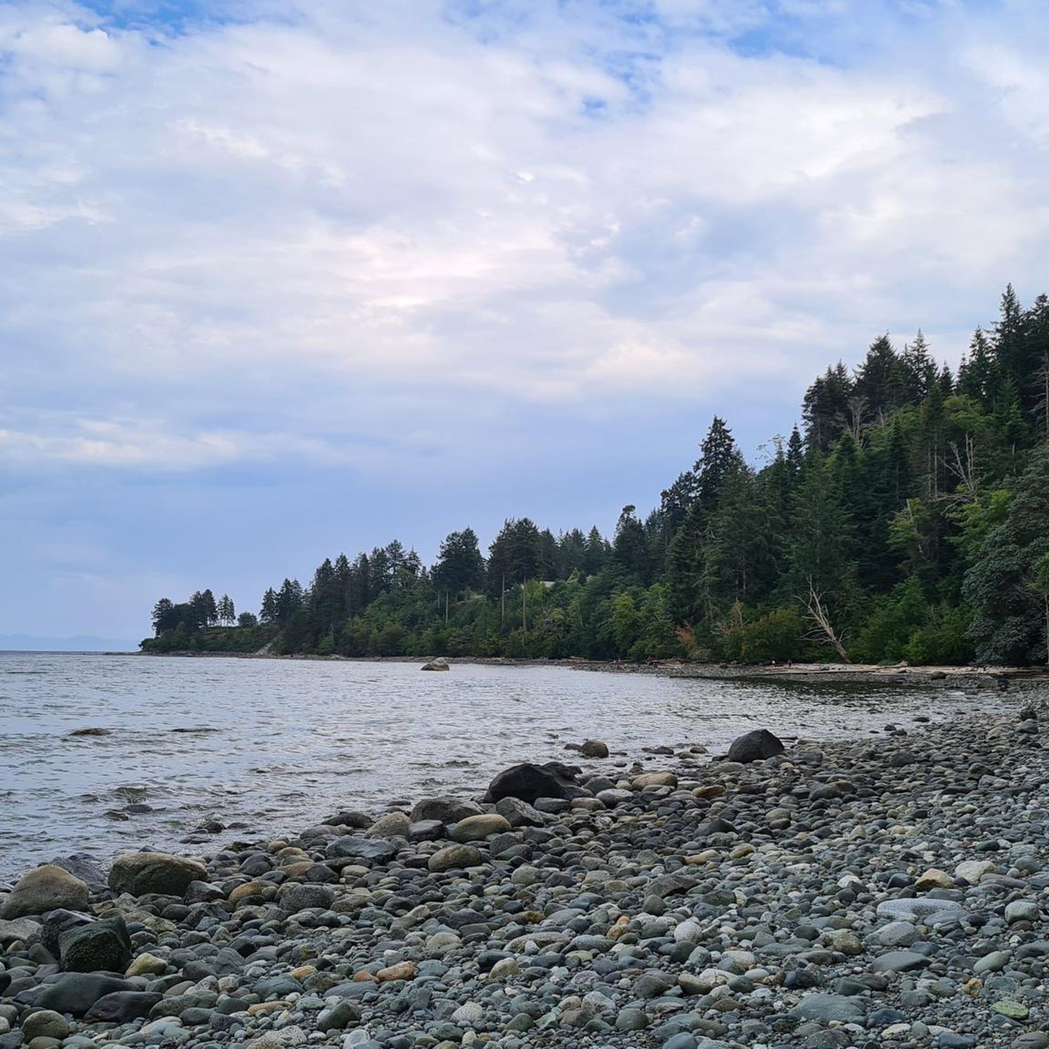
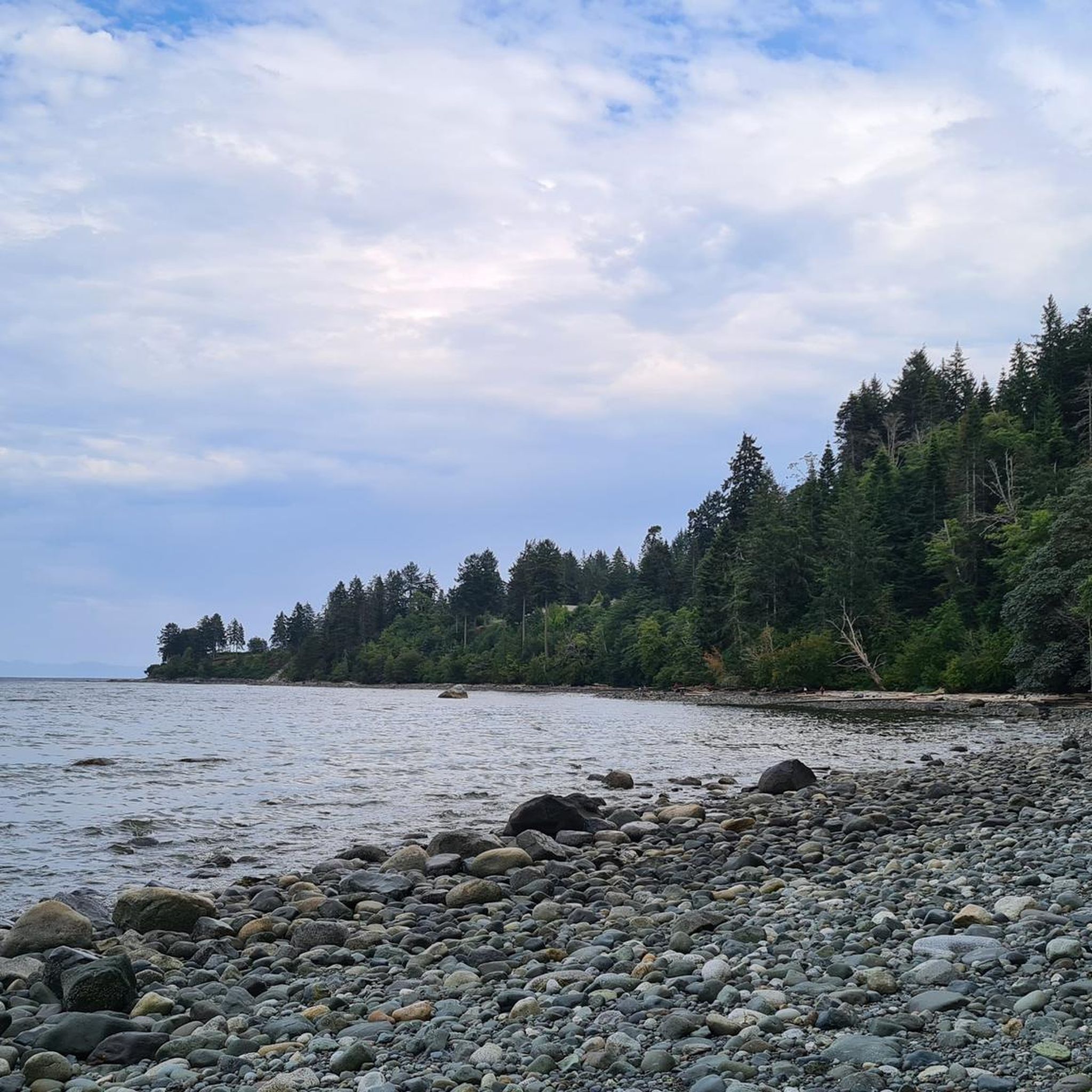
Road cycling routes in the Seal Bay area offer opportunities to experience diverse natural beauty. You can ride through lush regenerated forests, enjoy vast ocean views from the eastern side of the park, and potentially spot harbor seals, various birds, and even whales from the shore. The Seal Bay Lookout provides panoramic views of the Strait of Georgia, and tranquil wetland areas like Melda Marsh are home to diverse bird species.
How many road cycling routes are available in Seal Bay Regional Nature Park?
There are 15 road cycling routes available in Seal Bay Regional Nature Park and its immediate surroundings. These routes cater to various skill levels, with 7 easy, 6 moderate, and 2 difficult options.
What do other road cyclists enjoy most about road cycling in Seal Bay Regional Nature Park?
The area is highly rated by the komoot community, with an average score of 4.8 stars from over 8 reviews. Road cyclists often praise the diverse forests, coastal views, and wetland areas, as well as the variety of routes available for different ability levels.
Are there any loop trails for road cycling in Seal Bay Regional Nature Park?
Yes, many road cycling routes in the area are designed as loops. For example, the popular Old Mill loop from Grantham is a 40.3 km trail that takes you through forested areas. The Roadbike loop from Lerwick Nature Park is another easy loop option.
Is Seal Bay Regional Nature Park suitable for family-friendly road cycling?
While the park's interior has multi-use gravel trails, road cycling routes around the park offer easier, paved options that can be suitable for families. Routes like the Courtenay River loop from Courtenay are relatively short and flat, making them good choices for a family outing. Always check the specific route details for distance and elevation to ensure it matches your family's abilities.
What is the best time of year for road cycling in Seal Bay Regional Nature Park?
The Comox Valley, where Seal Bay Regional Nature Park is located, generally offers pleasant cycling conditions for much of the year. Spring and fall provide mild temperatures and beautiful scenery, while summer is ideal for warm, sunny rides. Even in cooler months, the forest canopy can provide a pleasant riding experience. Always check local weather conditions before heading out.
Are there cafes or amenities near the road cycling routes in Seal Bay Regional Nature Park?
The park is located near Courtenay, which offers a range of amenities including cafes, restaurants, and accommodation. Many road cycling routes start from or pass through areas close to these services, allowing you to refuel or relax before or after your ride.
Where can I park when visiting Seal Bay Regional Nature Park for road cycling?
Seal Bay Regional Nature Park has designated parking areas. For road cycling, you can often find parking at trailheads or access points around the park, particularly if you are starting a route that circles the park or begins from nearby towns like Courtenay or Comox. Always check specific route starting points for recommended parking.
Can I use public transport to access road cycling routes in Seal Bay Regional Nature Park?
While direct public transport to every trailhead might be limited, the park is accessible from nearby communities like Courtenay and Comox, which have public transport options. You may need to cycle a short distance from a bus stop to reach your desired road cycling route, or consider combining public transport with a shorter ride to the park's perimeter.
Most popular routes in Seal Bay Regional Nature Park
Most popular attractions in Seal Bay Regional Nature Park

Get inspired with the komoot mobile app


Explore more
Browse the best Road cycling routes in other regions.
