RoutesPlannerFeaturesUpdates
App
Login or Signup
Get the App
Login or Signup
Routes
Running Trails
Canada
British Columbia

Upper Puntledge River Woodlands

Routes
Running Trails
Canada
British Columbia

Upper Puntledge River Woodlands

The best running trails in Upper Puntledge River Woodlands

4.1

(12)

312

runners

20

runs

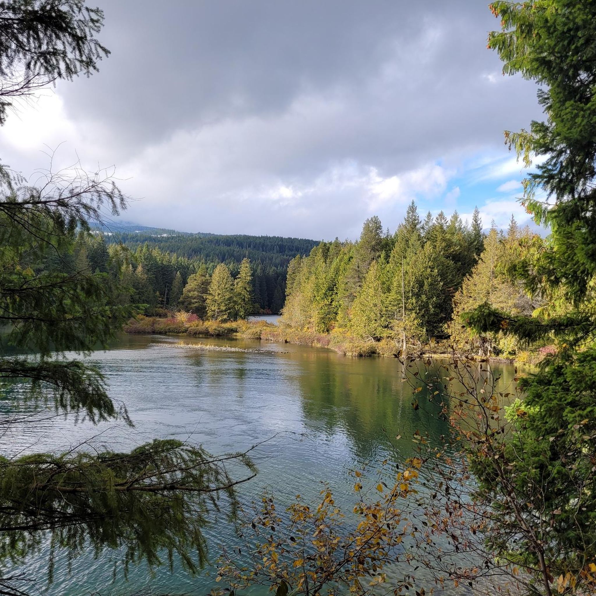
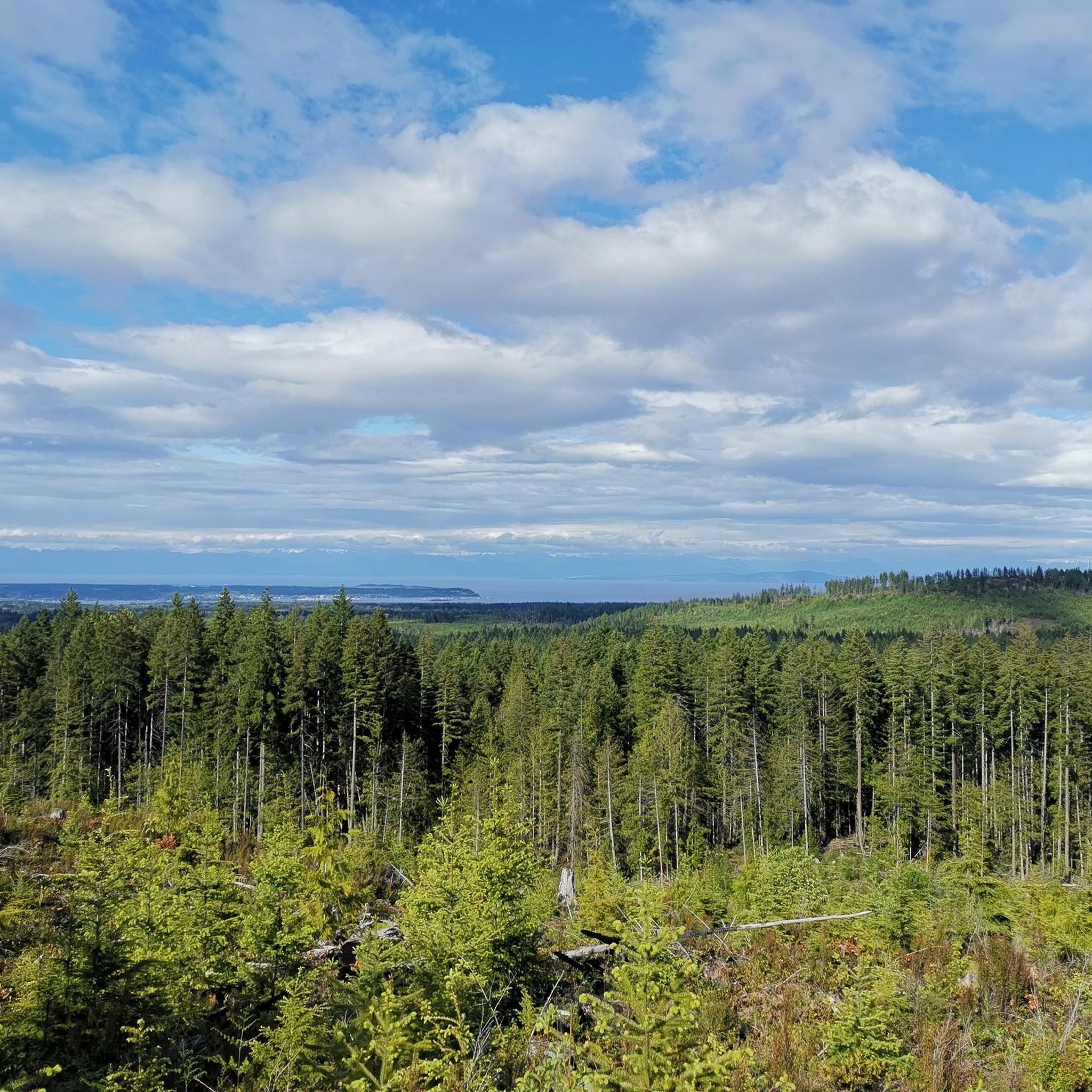
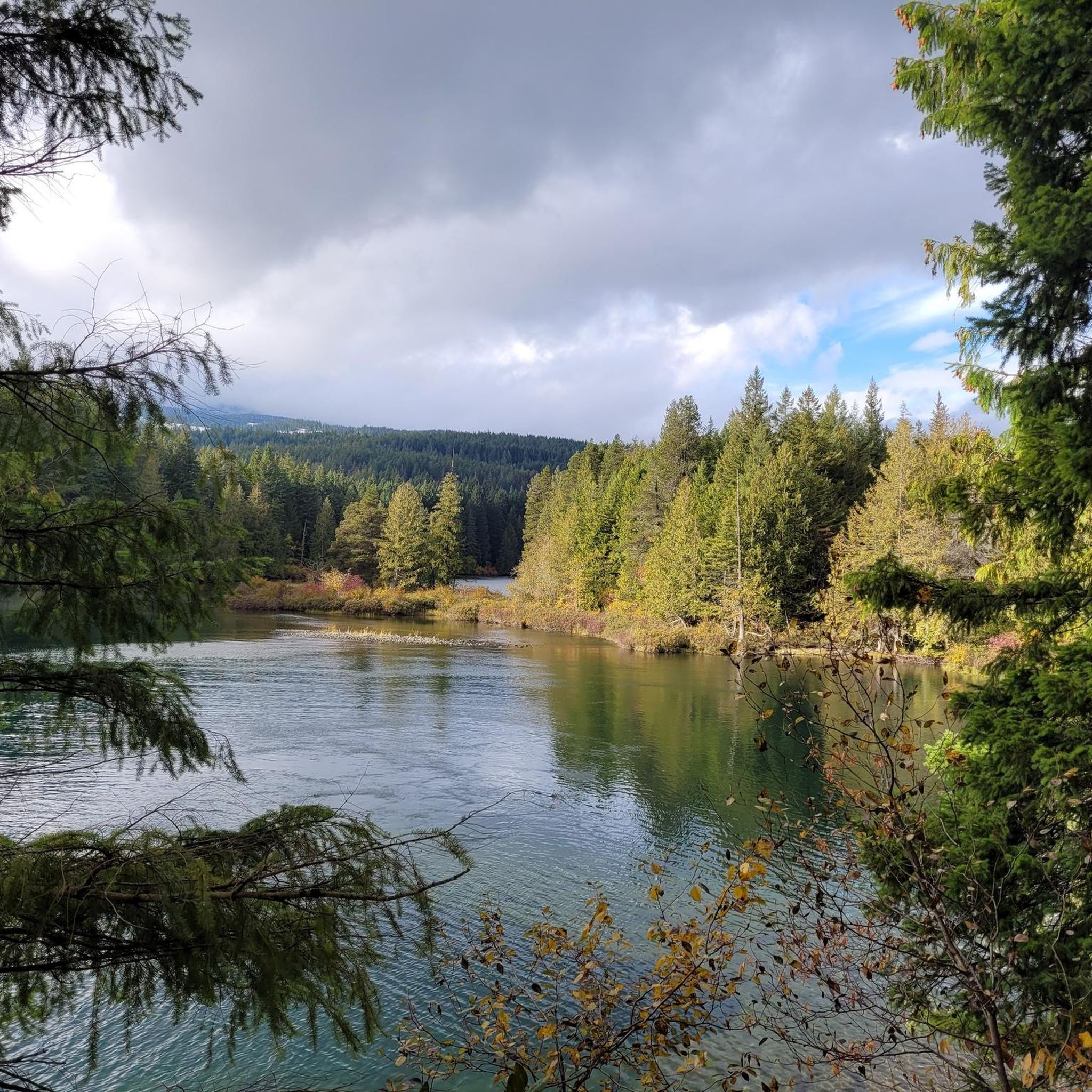
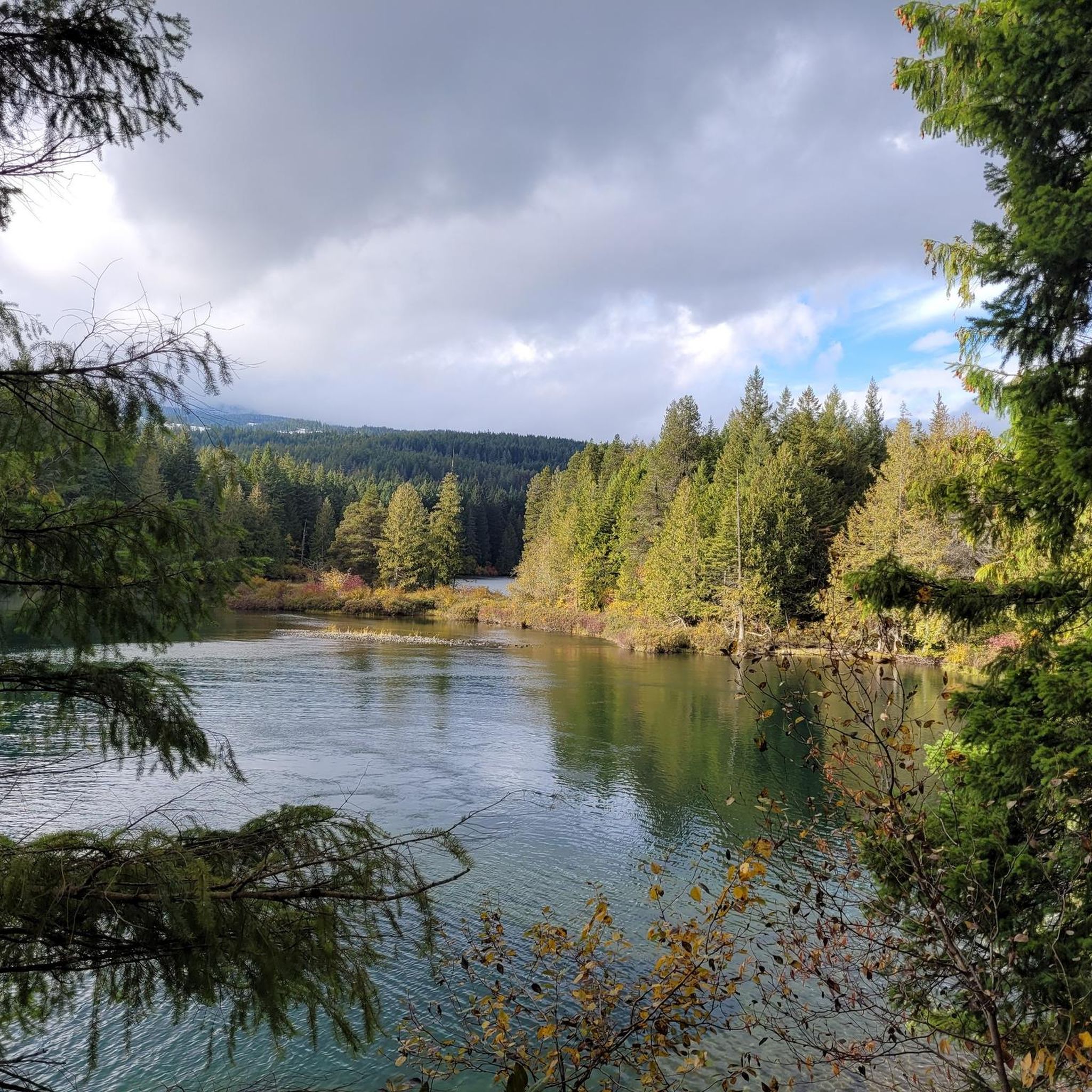
Jogging in Upper Puntledge River Woodlands offers a variety of running routes through diverse natural landscapes. The region is characterized by extensive forest areas, river valleys, and moderate hills, providing varied terrain for runners. These trails often feature natural surfaces, winding through wooded sections and alongside water bodies. The area provides opportunities for both gentle jogs and more challenging running experiences with elevation changes.

Best jogging routes in Upper Puntledge River Woodlands

  • The most popular jogging route is Cumberland Community…

Last updated: October 11, 2026

22

runners

#1.

Cumberland Community Forest – Mama Bear loop from Cumberland

12.3km

01:35

380m

380m

Hard run. Very good fitness required. Mostly accessible paths. Some sure footedness required.

Navigate with deviceSend to Phone
Save
Hard

Hard run. Very good fitness required. Mostly accessible paths. Some sure footedness required.

Hard
guide_signup
Let us show you the way with the komoot mobile app
With a free komoot account, you can easily find, customize, and navigate endless outdoor adventures.
Sign up for free

Moderate run. Good fitness required. Mostly paved surfaces. Suitable for all skill levels.

Moderate

Moderate run. Good fitness required. Mostly accessible paths. Some sure footedness required.

Moderate

7

runners

Moderate run. Good fitness required. Mostly accessible paths. Some sure footedness required.

Moderate
Sign up for free to see 16 more runs in Upper Puntledge River Woodlands.

Get access to more routes and recommendations from other explorers.

Sign up for free

Already have an account?

Our route recommendations are based on thousands of hikes, rides, and runs completed by other people on komoot.

Start today with a free account

Your next adventure awaits.
Login or Signup

Popular around Upper Puntledge River Woodlands

Hiking in Upper Puntledge River Woodlands

Road Cycling Routes in Upper Puntledge River Woodlands

MTB Trails in Upper Puntledge River Woodlands

Cycling in Upper Puntledge River Woodlands

Gravel biking in Upper Puntledge River Woodlands

Tips from the Community

Andras Vagvolgyi
October 13, 2026, Cumberland Community Forest

Highly recommend a visit to Cumberland if you are on Vancouver Island. Great riding area!

0

0

Zachary
July 20, 2026, Mama Bear

This is an easy hiking and mountain biking trail with some rooted sections. Bikers can come from both ways so just be mindful of other potential trail users. The trail parallels the hillside as it delivers you through the woods along the north side of the park.

0

0

Zachary
July 20, 2026, The Pig

This is a popular trail for hiking and mountain biking, and riders come from both ways so just be mindful of potential shared space on the trail. You'll notice some wooden skinnies and ramps, but you can hike around them and watch the bikers tackle the features.

0

0

Alex
October 20, 2025, Davis Lake Main

Davis Lake Main is an old, wide gravel logging road, now used for recreation. It is usually smooth but after heavy rain it can become rutted, and muddy. It takes hikers and bikers through forests of Douglas fir and western hemlock, and past Perseverance Creek and China Pools.

0

0

Cumberland Community Forest stretches more than 500 acres, and is mostly second-growth coastal forest with a web of well-maintained trails. These trails are open to hiking, mountain biking and trail running.

0

0

Alex
October 20, 2025, China Bowls

The China Bowls are created by Perseverance Creek, which flows with cold and clear water, smoothing stone ledges into deep basins that glow turquoise when the sun hits them. The pools are named after the nearby historic Chinatown site, and are surrounded by ferns, cedars, and Douglas fir.

0

0

Frequently Asked Questions

How many running routes are available in Upper Puntledge River Woodlands?

There are over two dozen dedicated running routes in the Upper Puntledge River Woodlands, offering a diverse range of experiences from easy jogs to challenging trail runs. You can find options suitable for various fitness levels.

Are there any easy or beginner-friendly jogging routes in the Upper Puntledge River Woodlands?

Yes, while many routes feature moderate hills, there is at least one easy running route available. For a moderate option that's still accessible, consider the Cumberland Community Forest – Davis Lake Main loop from Cumberland, which offers a scenic 6.1 km path around Davis Lake.

What kind of terrain can I expect on the running trails?

The running trails in Upper Puntledge River Woodlands are characterized by dense woodlands, riverine paths, and moderate hills. You'll primarily encounter natural surfaces, winding through forested sections and alongside water bodies, providing varied terrain for your run.

Are the jogging routes in Upper Puntledge River Woodlands suitable for families?

Many of the moderate routes can be enjoyed by families looking for an active outing. The Cumberland Community Forest – Davis Lake Main loop from Cumberland is a moderate 6.1 km path that offers a scenic and manageable option for a family run or walk.

Can I bring my dog on the running trails?

Generally, dogs are welcome on trails in the Upper Puntledge River Woodlands, but it's always best to check local signage for specific regulations, especially regarding leash requirements. Many trails, like those through the Cumberland Community Forest, are popular with dog owners.

Are there any circular running routes in the area?

Yes, many of the running routes in Upper Puntledge River Woodlands are designed as loops, allowing you to start and finish in the same location. Examples include the Nikkei Mountain loop from Cumberland and the Fuji Jim Mountain loop from Cumberland.

Where can I park when visiting the jogging trails?

Parking is typically available near trailheads, especially in and around Cumberland, which serves as a common starting point for many routes. Look for designated parking areas near community forests or park entrances.

What is the best time of year to go running in Upper Puntledge River Woodlands?

The Upper Puntledge River Woodlands are enjoyable for running throughout much of the year. Spring and fall offer pleasant temperatures and vibrant scenery. Summer provides lush green trails, while winter can offer a unique experience, though some trails may be wet or muddy. Always check local conditions before heading out.

What do other runners enjoy most about the trails here?

The area is highly rated by the komoot community, with an average score of 4.5 stars. Runners often praise the diverse terrain, the beauty of the dense woodlands, and the well-maintained paths that offer a mix of challenging climbs and scenic riverine sections.

Are there any longer, more challenging running routes for experienced runners?

Absolutely. For those seeking a significant challenge, the Cumberland Community Forest loop from Cumberland is a difficult 24.1 km route with substantial elevation gain, perfect for a longer, more intense trail run.

Are there any viewpoints or scenic spots along the running routes?

Many routes wind through scenic areas, offering glimpses of the Puntledge River and the surrounding woodlands. Trails around Davis Lake, such as the Cumberland Community Forest – Davis Lake Main loop from Cumberland, provide beautiful water views. The elevated sections of routes like the Nikkei Mountain loop from Cumberland also offer expansive forest vistas.

What kind of wildlife might I encounter while running?

The dense woodlands and river environments of Upper Puntledge River Woodlands are home to various wildlife. You might spot birds, deer, and smaller mammals. Always be aware of your surroundings and respect the natural habitat.

Most popular routes in Upper Puntledge River Woodlands

Hiking in Upper Puntledge River Woodlands

Most popular attractions in Upper Puntledge River Woodlands

Places to see

Store rating

Get inspired with the komoot mobile app

With a free komoot account, you can easily find, customize, and navigate endless outdoor adventures.

or

Join komoot Now
Store rating

Explore more

Browse the best Running Trails & Routes in other regions.

Coast MountainsVancouverStanley Park National Historic SiteSelkirk MountainsElectoral Area AArea C (Pemberton Valley/Mount Currie/D'Arcy)Rocky MountainsLower Seymour Conservation ReserveMetro Vancouver Regional ParksVictoriaVancouver IslandVictoria Harbour Migratory Bird SanctuaryBlackcomb Glacier Provincial ParkAlberni-ClayoquotEast Central Okanagan Electoral AreaArea D (Elaho/Garibaldi)Monashee MountainsSaanichCypress Provincial ParkPacific Spirit Regional ParkOkanagan LakeTantalus Provincial ParkBurnabyCapilano WatershedCentral Okanagan JStawamus Chief Provincial ParkMount Seymour Provincial ParkGaribaldi Provincial ParkBrackendale Eagles Provincial ParkPacific Rim National Park Reserve - Long Beach UnitNanaimoArea P (Rivers and the Peaks)Oak Bay Islands Ecological ReserveArea A (Kicking Horse/Kinbasket Lake)Buntzen Lake Recreation AreaArea B (Shelter Bay/Mica Creek)Coquitlam WatershedGrouse Mountain Regional ParkLangleyLynn Headwaters Regional ParkRichmondArea E (Chilliwack River Valley)Thwaytes Landing Regional ParkArea C (Arrowsmith-Benson)Showh Lakes-Ancient Cedars Trail Recreation SiteArea L (Grasslands)Iona Beach Regional ParkPinecone Burke Provincial ParkEagle Mountain Recreation SiteBurns Bog Ecological Conservancy AreaCapilano River Regional ParkAlaksen National Wildlife AreaArea B (South Fraser Canyon/Sunshine Valley)SurreyBurnaby Lake Regional ParkTəmtəmíxʷtən/Belcarra Regional ParkKanaka Creek Regional ParkWhistler Interpretive ForestComox Valley B (Lazo North)Fraser River Delta -- RamsarColony Farm Regional ParkGeorge C. Reifel Migratory Bird SanctuaryBrandywine Falls Provincial ParkSurrey Bend Regional ParkK'Ómoks Royston LandsNorth Okanagan BMaple RidgeSeal Bay Regional Nature ParkBrohm Lake Interpretive Forest TrailsSooke Hills Wilderness Regional ParkBrohm Lake Day Use Recreation SiteYoho National ParkArea J (Copper Desert Country)North CowichanPitt LakeVargas Island Provincial ParkDawley Passage Provincial ParkȽáu,Welṉew̱/John Dean Provincial ParkSatellite Channel Ecological ReserveDeas Island Regional ParkNorth SaanichOkanagan-Similkameen DCentral SaanichAlice Lake Provincial ParkBlue Mountain Recreation SiteAlouette LakeHillkeep Regional ParkPurcell MountainsStave West Forest & Recreation AreaArea C (Puntledge/Black Creek)Ayum Creek Regional Park ReserveGoldstream Provincial ParkArea B (Shawnigan Lake)Area F (McConnell Creek/Hatzic Prairie)Nanaimo EArea A (Baynes Sound)North Cowichan Municipal Forest ReserveBlaney Bog Regional Park ReserveCariboo MountainsDeltaAbbotsfordGolden Ears Provincial ParkMt Begbie Area Recreation SiteCapital GUbc Malcolm Knapp Research ForestBurgoyne Bay Provincial ParkArea G (Deroche/Dewdney/Sumas Mountain)Liumchen Ecological ReserveMt. Macpherson Cross-Country Trails Recreation SiteE.C. Manning Provincial ParkArea H (Manning Park/Tulameen/Siwash)Pitt MeadowsSea To Sea Regional ParkSooke Mountain Provincial ParkMount Tuam Ecological ReserveMount Revelstoke National ParkSalt Spring Island Electoral AreaCougar Canyon Ecological ReserveUpper Trent River WoodlandsCrown Land ReserveBowen Island Ecological ReserveCrippen Regional ParkGlen Valley Regional ParkNairn Falls Provincial ParkArea C (Chilako River/Nechako)Gowlland Tod Provincial ParkVedder Mountain Interpretative ForestSkaha Bluffs Provincial ParkFraser Islands Regional Park ReserveMinnekhada Regional ParkSumas Mountain Regional ParkArea C (Moyie/Bull River)Mount Begbie Recreation SiteArea F (Alberni Highway)Stebbings Road Community ForestArea E (Naramata/Greyback)Mill Farm Regional Park ReserveEpper Passage Provincial ParkBear Creek Provincial ParkTynehead Regional ParkArea D (Trinity/West Creighton)Owl Lake Recreation ReserveBurnaby Mountain Conservation AreaRobert'S Lake Regional ParkArea A (Upper Flathead/Elk Valley)Okanagan Mountain Provincial ParkMount Maxwell Ecological ReserveMount Maxwell Provincial ParkSunshine Coast Regional DistrictMount Gardner Recreation SiteStephens Coyote Ridge Regional ParkArea D (Tabor Lake/Stone Creek)Boundary Bay Regional ParkCultus Lake Provincial ParkMount Fernie Provincial ParkNanaimo GKalamalka Lake Provincial ParkArea H (Lighthouse Country)Area F (Trout Creek Valley)Campbell Valley Regional ParkArea E (Balfour/Cottonwood Lake)West Arm Provincial ParkArea G (Salmo Valley)Codd Wetland Ecological Conservancy AreaArea F (Willow River/Upper Fraser)SpallumcheenCowichan Valley FWidgeon Marsh Regional Park ReserveKootenay National ParkTsable Lakes WoodlandsArea D (Oyster Bay/Buttle Lake)Cowichan Valley GRuckle Provincial ParkArea G (Forster Creek/Mount Assiniboine)Area B (Lake Koocanusa)Area C (Inkaneep/Willowbrook)Area A (Salmon River/Lakes)Myra-Bellevue Provincial ParkArea A (Osoyoos Lake)Williams Beach ForestFraser River Ecological ReserveUpper Qualicum River WoodlandsEllison Provincial ParkArea B (Discovery Islands/Mainland Inlets)Fraser Valley DWells Gray Provincial ParkArea A (Wells Gray Country)Strathcona Provincial ParkBodega Ridge Provincial ParkSilver Star Provincial ParkTrinity Ricardo Trail Recreation SiteElk Falls Provincial ParkRathtrevor Beach Provincial ParkMount Richardson Provincial ParkSeymour WatershedBeaver Lodge Forest LandsRace Rocks Ecological ReserveBeaufort East WoodlandsArea E (Saint Mary/Skookumchuck)Cowichan River Provincial ParkArea A (Kyuquot/Nootka/Sayward)Area H (Canim Lake/Forest Grove)Area C (Sasquatch Country)Telemark Cross-Country Ski Trails Recreation SiteArea F (Columbia Lake/Windermere Lake)Spipiyus Provincial ParkArea B (Lower Columbia/Old Glory)Helliwell Provincial ParkBoyle Point Provincial ParkMount Geoffrey Escarpment Provincial Park

Nearby adventure guides

Things to Do around Area C (Puntledge/Black Creek)

background

Get ready to conquer new peaks

Sign up for Free
Explore
RoutesRoute plannerFeaturesRedeem a voucherHikesMTB TrailsRoad cycling routesBikepackingSitemap
Download the app
Follow Us on Socials

© komoot GmbH

Privacy Policy