The best running trails around Sluie Woods
4.3
(13)
1,580
runners
99
runs
Jogging around Sluie Woods offers a variety of routes through forested areas and along the River Dee. The terrain features moderate elevation changes, with some routes including hills up to 165 meters. This region is characterized by woodlands, river views, and paths suitable for various running abilities.
Best jogging routes around Sluie Woods
- The most popular jogging route is Craigmore Wood loop from Potarch, a 4.6 miles (7.3 km) trail that takes 1 hour to complete, winding through dense…
Last updated: July 8, 2026
12
runners
7.32km
00:56
170m
170m
Moderate run. Good fitness required. Mostly paved surfaces. Suitable for all skill levels.
9
runners
6.25km
00:39
30m
30m
Moderate run. Good fitness required. Mostly paved surfaces. Suitable for all skill levels.

Sign up for free
4
runners
9.90km
01:05
150m
150m
Moderate run. Good fitness required. Mostly paved surfaces. Suitable for all skill levels.
2
runners
5.82km
00:37
90m
90m
Moderate run. Good fitness required. Mostly paved surfaces. Suitable for all skill levels.
5.0
(1)
19
runners
7.46km
00:55
150m
160m
Moderate run. Good fitness required. Mostly paved surfaces. Suitable for all skill levels.
Get access to more routes and recommendations from other explorers.
Sign up for free
Already have an account?
Our route recommendations are based on thousands of hikes, rides, and runs completed by other people on komoot.
Start today with a free account
Your next adventure awaits.
Login or Signup

Tips from the Community


The Dinnie Steens are transported to the Aboyne Highland Games each year, for all the strong people to have a go! 💪 The rest of the year, you can check them out at the Potarch Café and enjoy their all day brunch while you are there!
1
0
A lovely little take-away café with home-made cakes, milk shakes, coffee and hot chocolate. Your order from the pavement. Look for their Facebook page for an update on opening hours. Usually Saturday and Sunday 11am-4pm.
0
0

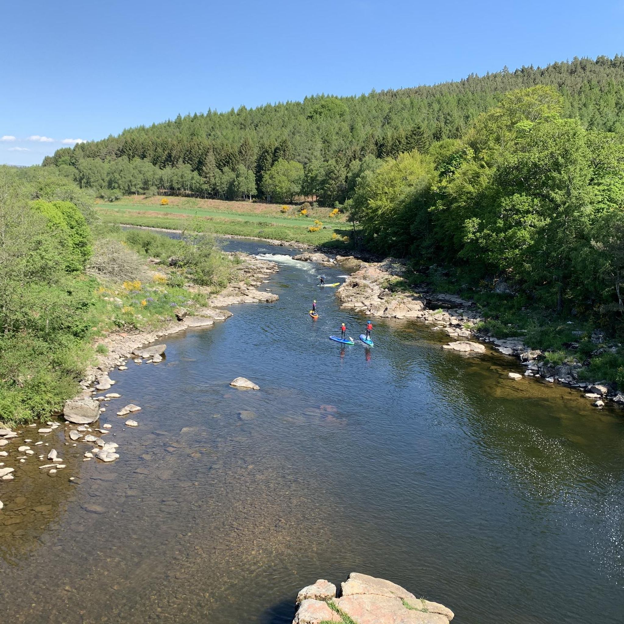
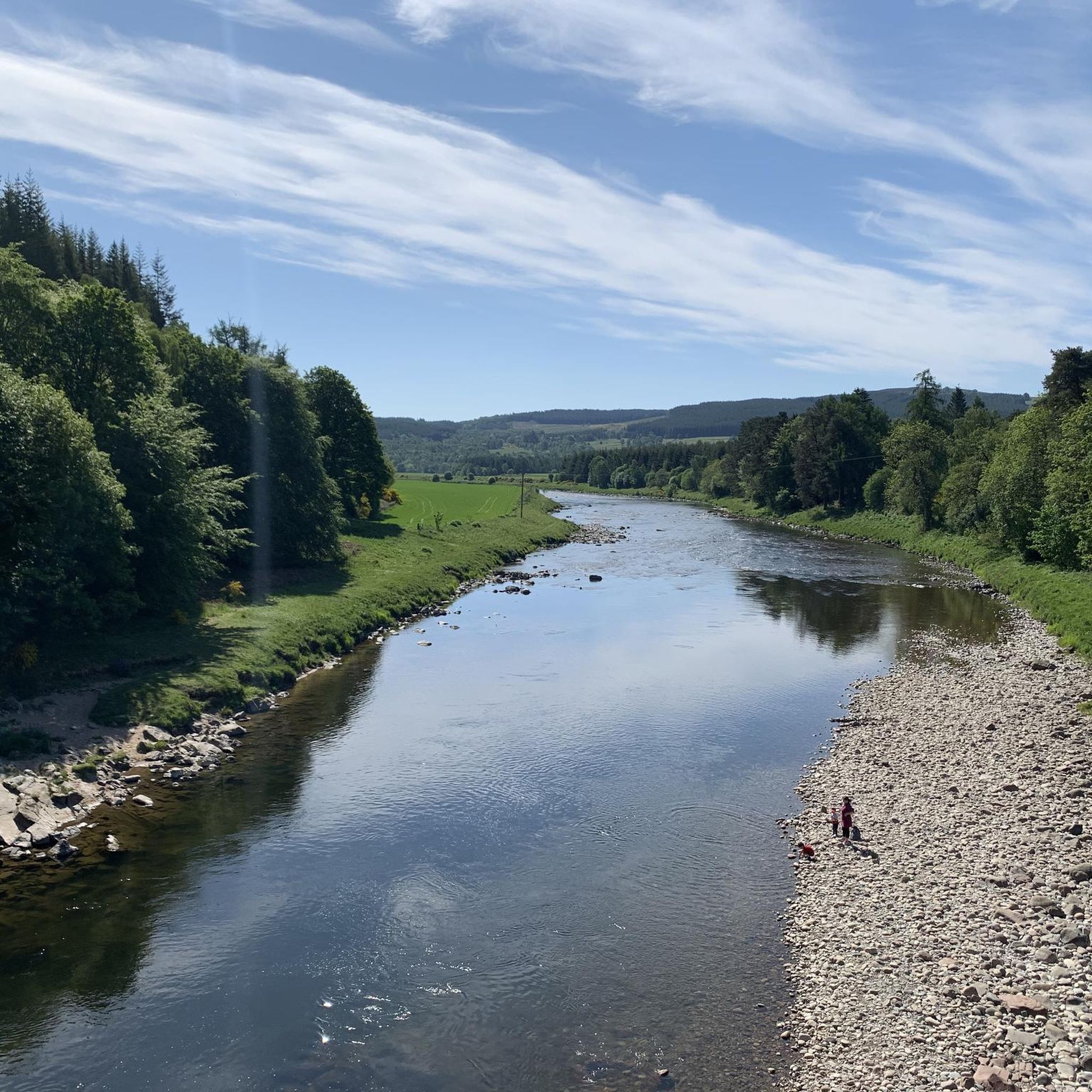
Fantastic views looking over the river Dee and beyond. There are a number of tree stumps perfect for jumping off the bike and having a pitstop.
0
0

The Dinnie Stones located at the Potarch Cafe Now ordinary folk would struggle to lift even the smallest Dinnie Stone, however in 1860 Donald Dinnie famously carried them both with his bare hands across the width of Potarch Bridge – a distance of 17' 1 1/2"!!
0
0

Discover this 8.0-km trail loop near Banchory, Aberdeenshire. The Blackhall Trail Loop is generally considered an easy route, with accessible trails throughout, but with an option to extend your route to visit Scolty Tower. Also taking in part of 'The Deeside Way' this trail is great for cycling, hiking, trail running, and walking.
1
0
Frequently Asked Questions
How many running routes are available in Sluie Woods?
Sluie Woods offers a wide selection of running routes, with over 100 trails available. These range in difficulty from easy to difficult, ensuring options for all fitness levels.
Are there easy or beginner-friendly jogging routes in Sluie Woods?
Yes, Sluie Woods has several easy running routes suitable for beginners. There are 4 designated easy routes, and many of the 70 moderate routes also offer manageable terrain. For a relatively flat and relaxed experience, consider the Laura Lane Café loop from Potarch Rd End, which has minimal elevation gain.
What is the general difficulty level of running trails in Sluie Woods?
The running trails in Sluie Woods primarily feature moderate difficulty, with 70 out of 104 routes falling into this category. There are also 4 easy routes and 30 more challenging options, often involving hills up to 165 meters, providing a good mix for various running abilities.
Are there any circular running trails in Sluie Woods?
Many of the routes in Sluie Woods are circular, allowing you to start and finish at the same point. Examples include the popular Craigmore Wood loop from Potarch and the scenic Slewdrum Forest – View of the River Dee loop from Potarch.
What kind of terrain can I expect on the jogging routes in Sluie Woods?
Runners in Sluie Woods can expect a mix of wooded trails and riverside paths along the River Dee. The terrain often features moderate elevation changes, with some routes including noticeable climbs, offering a varied and engaging running experience.
What do other runners enjoy most about jogging in Sluie Woods?
The komoot community highly rates the running experience in Sluie Woods, with an average score of 4.25 stars from over 13 reviews. Runners often praise the beautiful forested areas, the peaceful riverside views, and the variety of trails suitable for different fitness levels.
Are there any running routes with good viewpoints in Sluie Woods?
Yes, several routes offer scenic views, particularly of the River Dee. The Slewdrum Forest – View of the River Dee loop from Potarch is specifically known for its river vistas as it winds through the forest.
Are the running trails in Sluie Woods suitable for families?
While specific 'family-friendly' designations aren't always explicit, the easier and moderate routes with minimal elevation, such as the Laura Lane Café loop from Potarch Rd End, are generally suitable for families looking for a less strenuous run or walk together.
What is the best time of year for running in Sluie Woods?
Sluie Woods offers enjoyable running conditions throughout much of the year. Spring and autumn provide pleasant temperatures and beautiful foliage, while summer is ideal for longer daylight hours. Winter running is possible, but trails might be muddy or icy, so appropriate footwear is recommended.
Are there any hidden gems or less-known running routes in Sluie Woods?
Beyond the most popular trails, exploring some of the less-frequented moderate routes can reveal quieter sections of the woods. The Boat Plantation loop from Potarch offers a lovely run through woodland that might be less crowded than other options.
Is there parking available for the running trails in Sluie Woods?
Many of the routes around Sluie Woods, particularly those starting from Potarch, have access to parking facilities. It's advisable to check the specific route details on komoot for parking information at your chosen starting point.
Can I bring my dog on the running trails in Sluie Woods?
Generally, dogs are welcome on trails in Sluie Woods. However, it's always best to keep dogs under control, especially around wildlife or livestock, and to follow any local signage regarding dog access, particularly during nesting seasons or in sensitive areas.
What should I wear for running in Sluie Woods?
Given the varied terrain and potential for changing weather, layered clothing is recommended. Sturdy trail running shoes with good grip are essential for navigating wooded paths and potential muddy sections. Waterproof outerwear is also advisable, especially outside of peak summer.
Are there any cafes or places to get refreshments near Sluie Woods after a run?
Yes, the area around Sluie Woods, particularly near Potarch, offers options for refreshments. The Laura Lane Café loop from Potarch Rd End even hints at a nearby café, providing a convenient stop after your run.
What is the longest running route in Sluie Woods?
Among the listed routes, the Slewdrum Forest – View of the River Dee loop from Potarch is one of the longer options, covering approximately 9.9 km (6.1 miles) and typically taking around 1 hour 5 minutes to complete.
Most popular routes around Sluie Woods

Get inspired with the komoot mobile app


Explore more
Browse the best Running Trails & Routes in other regions.
