The best running trails in Forêt Territoriale De Tova
4.1
(24)
899
runners
55
runs
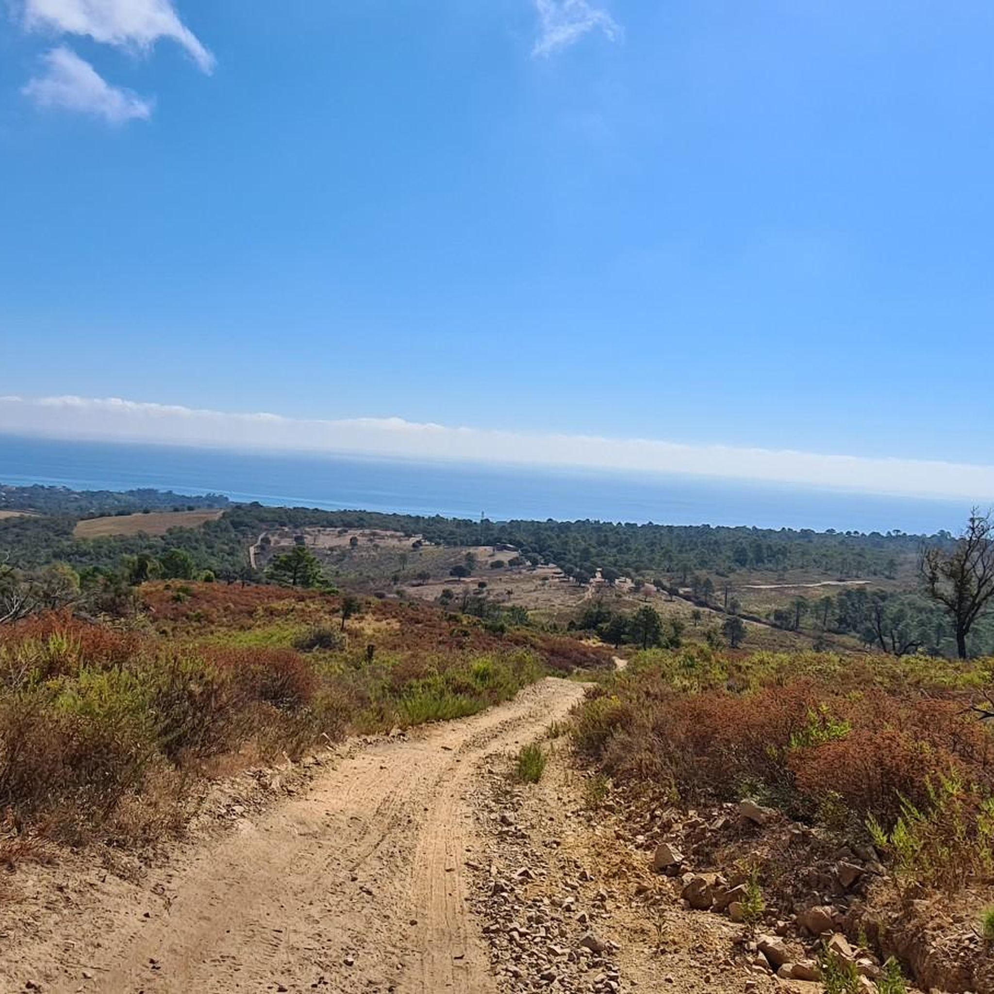
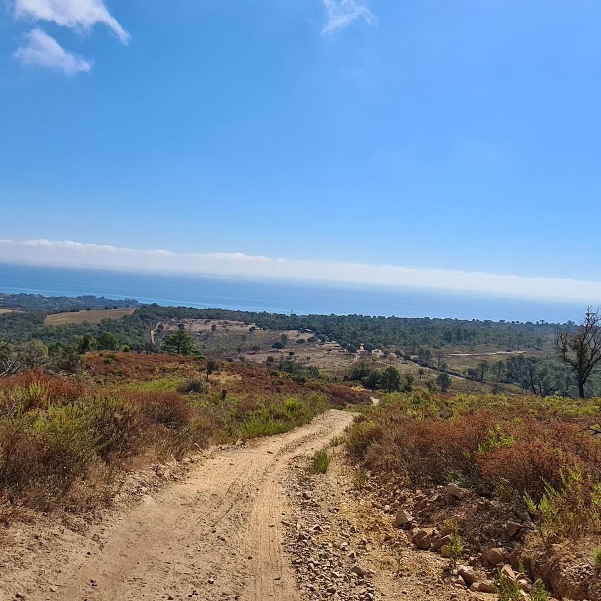
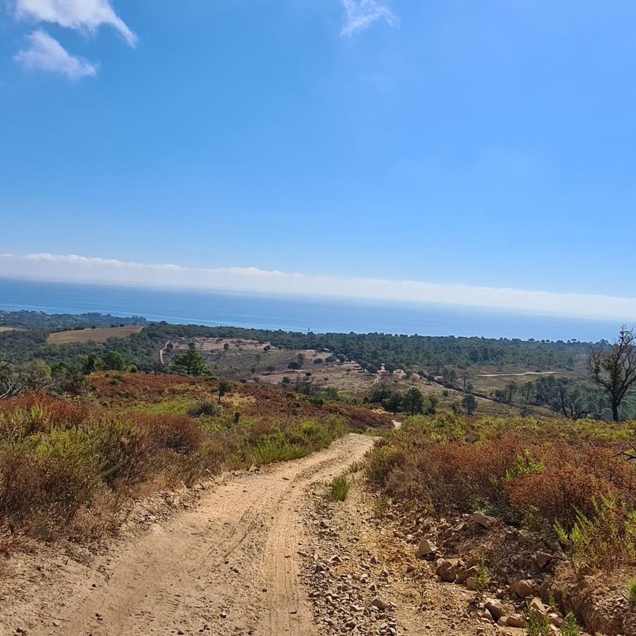
Jogging routes in Forêt Territoriale De Tova traverse a diverse landscape characterized by extensive wooded areas and mountainous terrain. Elevations range from 480 to 1335 meters, offering varied inclines and rolling hills suitable for different running preferences. The forest features a mix of tree species, including green oak, maritime pine, and Corsican pine, providing a constantly changing environment. As a protected natural space, the area maintains a tranquil atmosphere, ideal for outdoor running.
Best jogging routes in Forêt Territoriale De…
Last updated: June 28, 2026
5.0
(1)
27
runners
8.94km
01:01
180m
180m
Moderate run. Good fitness required. Mostly paved surfaces. Suitable for all skill levels.
3.0
(1)
25
runners
12.1km
01:22
260m
260m
Moderate run. Good fitness required. Mostly paved surfaces. Suitable for all skill levels.

Sign up for free
3.0
(1)
24
runners
9.57km
01:01
60m
60m
Moderate run. Good fitness required. Mostly paved surfaces. Suitable for all skill levels.
4.3
(3)
21
runners
7.10km
00:48
110m
110m
Moderate run. Good fitness required. Mostly paved surfaces. Suitable for all skill levels.
34
runners
6.14km
00:39
50m
50m
Moderate run. Good fitness required. Mostly paved surfaces. Suitable for all skill levels.
Get access to more routes and recommendations from other explorers.
Sign up for free
Already have an account?
Our route recommendations are based on thousands of hikes, rides, and runs completed by other people on komoot.
Start today with a free account
Your next adventure awaits.
Login or Signup
Popular around Forêt Territoriale De Tova

Frequently Asked Questions
What kind of terrain can I expect on the running trails in Forêt Territoriale De Tova?
The Forêt Territoriale De Tova offers a diverse landscape for running, characterized by extensive wooded areas and mountainous terrain. You'll encounter varied inclines and rolling hills, with elevations ranging from 480 to 1335 meters. The forest features a mix of tree species like green oak, maritime pine, and Corsican pine, providing a constantly changing and visually stimulating environment.
Are there running routes suitable for beginners or those looking for an easy jog?
Yes, Forêt Territoriale De Tova has routes suitable for various fitness levels. While many are moderate, there are 4 easy running routes available. These typically feature minimal elevation gain, allowing for a more relaxed experience amidst the natural beauty.
How many running routes are available in Forêt Territoriale De Tova?
There are over 60 running routes available in Forêt Territoriale De Tova, offering a wide range of options for different preferences and fitness levels. These include 4 easy, 30 moderate, and 26 difficult trails.
Are there any scenic viewpoints or landmarks to discover while running?
Absolutely. Many routes in Forêt Territoriale De Tova offer picturesque vistas, providing breathtaking panoramic views across the landscape. The region's mountainous relief ensures opportunities for stunning scenery. Additionally, you might encounter the historic Bergeries de Tova, traditional shepherd's huts that offer a cultural point of interest amidst your run.
What do other runners say about the trails in Forêt Territoriale De Tova?
The running routes in Forêt Territoriale De Tova are highly rated by the komoot community, with an average score of 3.9 stars from over 20 reviews. Runners often praise the diverse forest ecosystems, the tranquil atmosphere of this protected natural space, and the variety of trails suitable for different ability levels.
Are there circular running routes available in Forêt Territoriale De Tova?
Yes, many of the running routes in Forêt Territoriale De Tova are designed as loops, offering convenient circular options. For example, you can explore the Running loop from Kamiesch or the Running loop from Chiola, both providing a complete experience without retracing your steps.
What is the best season for jogging in Forêt Territoriale De Tova?
The Forêt Territoriale De Tova is generally pleasant for jogging outside of peak summer heat. Spring and autumn offer mild temperatures and beautiful scenery, with changing foliage or blooming flora. The protected status of the area ensures a serene environment, especially outside the busiest summer months.
Can I bring my dog on the running trails in Forêt Territoriale De Tova?
As a protected regional natural park, it's generally possible to bring dogs on trails in Forêt Territoriale De Tova, but they should always be kept on a leash to protect local wildlife and ensure the safety and comfort of other users. Always check specific trail regulations before you go.
Are the running trails in Forêt Territoriale De Tova family-friendly?
Yes, there are family-friendly options among the running routes, particularly the easier trails with minimal elevation gain. The tranquil and unspoiled setting of the protected forest makes it a great place for families to enjoy outdoor activity together. Consider routes with shorter distances and less challenging terrain.
Is parking available near the running trails in Forêt Territoriale De Tova?
While specific parking areas vary by trailhead, many popular starting points for running routes in Forêt Territoriale De Tova, such as those near Sole di Sari or Les Eucalyptus, typically offer designated parking facilities. It's advisable to check the starting point of your chosen route for specific parking information.
Can I reach the running trails by public transport?
Access to the more remote parts of Forêt Territoriale De Tova by public transport can be limited. While some villages near the forest might have bus services, reaching specific trailheads often requires a car. It's best to research local transport options to the nearest towns and plan accordingly if you intend to use public transport.
How long do the running routes typically take to complete?
The duration of running routes in Forêt Territoriale De Tova varies significantly based on distance, elevation, and your pace. For example, the The marina loop from Les Eucalyptus, a 6.0-mile (9.6 km) path, takes approximately 1 hour 1 minute, while the Ascent to the Col de Bavella loop from Sole di Sari, at 7.2 km, takes about 45 minutes.
Most popular routes in Forêt Territoriale De Tova

Get inspired with the komoot mobile app


Explore more
Browse the best Running Trails & Routes in other regions.
