The best running trails in Massif Du Mai Ou De Sicié
4.4
(95)
5,338
runners
40
runs
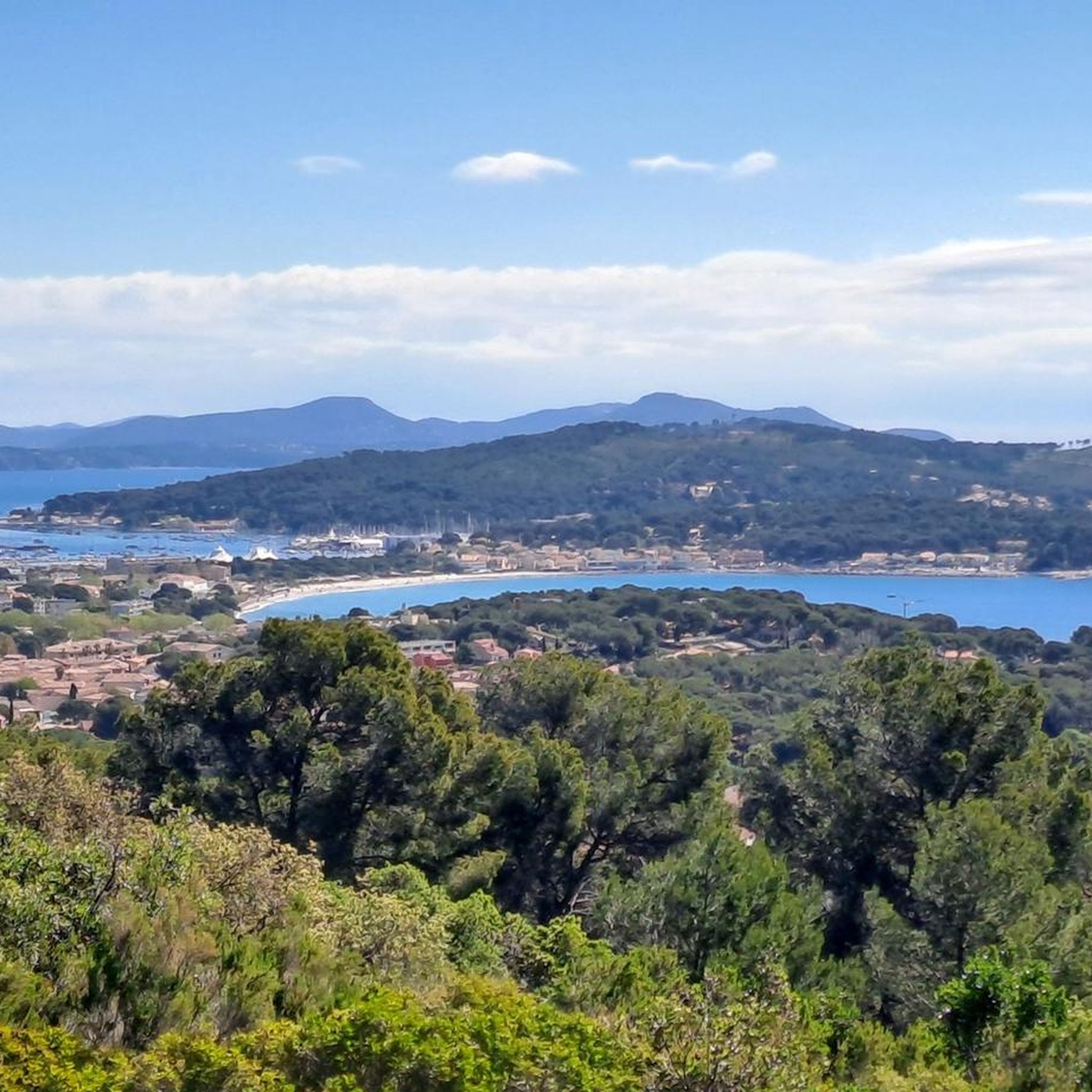
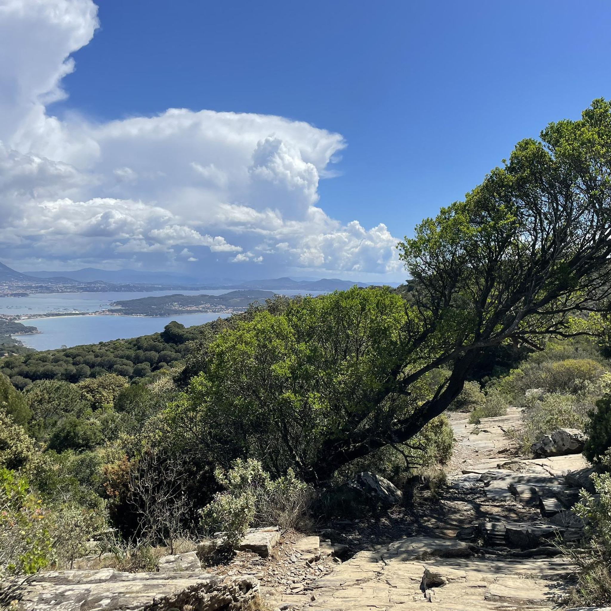
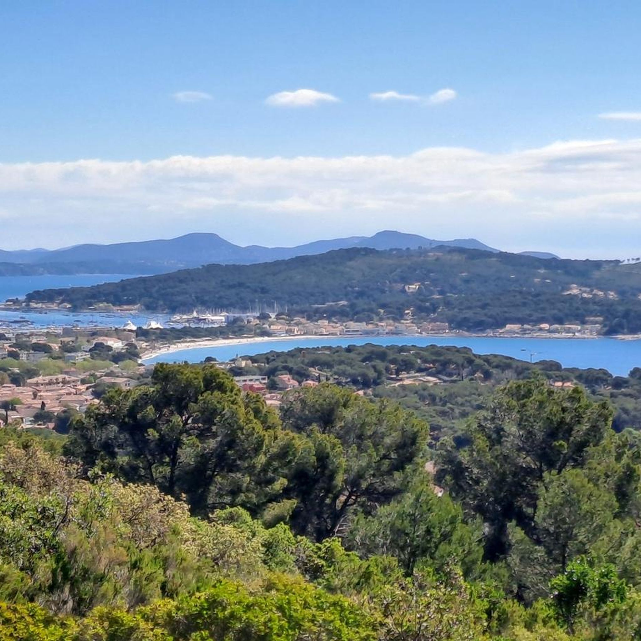
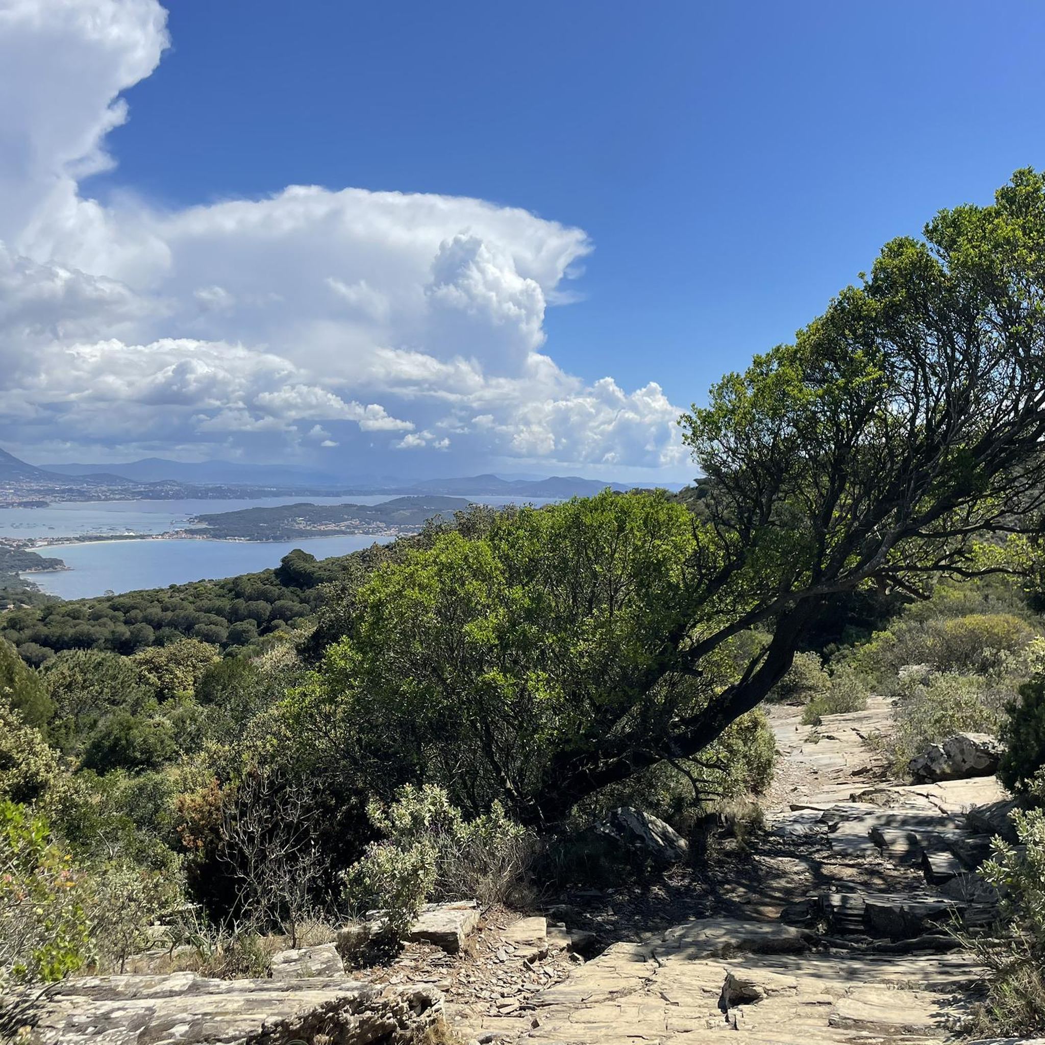
Jogging in Massif Du Mai Ou De Sicié offers diverse landscapes, blending coastal and forest environments. The region, also known as Cap Sicié, features varied terrain including picturesque coastal paths, dense forests of Aleppo pine and green oaks, and garrigue. Elevated viewpoints provide panoramic views of the Mediterranean Sea and surrounding massifs. The massif's highest point reaches 352 meters at the Chapel of Notre Dame du Mai.
Best jogging routes in Massif Du Mai Ou De Sicié
- The most popular jogging route is Our Lady of May Chapel – View of the Îles d'Hyères loop from Batterie de Peyras, a 9.4 miles (15.1 km) trail that takes 2 hours 16 minutes to complete. This route offers significant elevation gain and expansive views from the chapel.
- Another top favourite among local runners is View of the Îles d'Hyères – Janas forest loop from Batterie de Peyras, a difficult 7.1 miles (11.5 km) path. This trail explores the diverse flora of the Janas forest and provides views of the islands.
- Local runners also love the Running loop from Six-Fours-les-Plages, a 4.7 miles (7.5 km) trail leading through varied terrain, often completed in about 50 minutes.
- Jogging in Massif Du Mai Ou De Sicié is defined by coastal paths, dense forests, and elevated viewpoints. The network offers options for different ability levels, from moderate to difficult routes.
- The routes in Massif Du Mai Ou De Sicié are highly rated by the komoot community with an average score of 4.5 stars from over 90 reviews. More than 5700 runners have used komoot to explore Massif Du Mai Ou De Sicié's varied terrain.
Last updated: July 5, 2026
142
runners
Hard run. Very good fitness required. Sure-footedness, sturdy shoes and alpine experience required.
71
runners
11.5km
01:41
530m
530m
Hard run. Very good fitness required. Sure-footedness, sturdy shoes and alpine experience required.

Sign up for free
5.0
(3)
56
runners
9.67km
01:04
170m
170m
Moderate run. Good fitness required. Mostly paved surfaces. Suitable for all skill levels.
49
runners
9.89km
01:05
170m
170m
Moderate run. Good fitness required. Mostly paved surfaces. Suitable for all skill levels.
47
runners
Hard run. Very good fitness required. Sure-footedness, sturdy shoes and alpine experience required.
Get access to more routes and recommendations from other explorers.
Sign up for free
Already have an account?
Our route recommendations are based on thousands of hikes, rides, and runs completed by other people on komoot.
Start today with a free account
Your next adventure awaits.
Login or Signup

Tips from the Community

The island of Embiez is a land of paradise easily accessible all year round, 12 minutes by boat from the charming port of Brusc. The island can be visited on foot or by bike! The island and its establishments are accessible to people with reduced mobility.
3
0
The island of Petit Gaou is located in the extension of the port of Brusc. This little corner of the world located between the lagoon, the open sea and the island of Embiez transports you into atmospheres conducive to contemplation.
1
0

Magnificent views, it's also possible without tourist beaches - beautiful. It's a bit boring going out of the city and then back in, but still interesting.
1
0

The Cap Sicié massif offers great walks for all types of activities. Don't miss the Notre-Dame-du-Mai site and its views of the sea and the surrounding coasts.
4
0


It is Paradise at the end of the world ...! An enchanting place that smells of change of scenery ...
2
0

Nice descent from the Chapelle du Mai to the Corniche Var road via the Terres Gastes forest track, with beautiful views over the harbor of Toulon
1
1

Frequently Asked Questions
How many running routes are available in Massif Du Mai Ou De Sicié?
There are over 40 dedicated running routes in Massif Du Mai Ou De Sicié, offering a wide variety of distances and difficulty levels to explore the region's diverse landscapes.
What kind of terrain can I expect on jogging trails in Massif Du Mai Ou De Sicié?
The terrain in Massif Du Mai Ou De Sicié is quite varied, blending picturesque coastal paths with dense forests of Aleppo pine and green oaks, and aromatic garrigue. You'll encounter both accessible paths and some steep sections, providing a dynamic running experience. The region's elevated viewpoints offer breathtaking panoramic views of the Mediterranean Sea.
Are there running routes suitable for beginners or those looking for an easy jog?
Yes, while many routes are moderate to difficult, there are options for easier jogs. For instance, the guide lists 1 easy route and 29 moderate routes. The trails are generally enjoyable with accessible paths, making them suitable for various skill levels.
What are the best times of year to go running in Massif Du Mai Ou De Sicié?
The Massif Du Mai Ou De Sicié is enjoyable for running outside of the peak summer months. During summer, especially between June 15 and September 15, access to the massif may be regulated or certain routes closed due to fire risks. It's always advisable to check local conditions before heading out.
What do other runners say about the trails in Massif Du Mai Ou De Sicié?
The running routes in Massif Du Mai Ou De Sicié are highly rated by the komoot community, with an average score of 4.5 stars from over 90 reviews. More than 5700 runners have used komoot to explore the varied terrain, often praising the stunning sea views and diverse natural environments.
Are there any circular running routes in Massif Du Mai Ou De Sicié?
Yes, many of the running routes in Massif Du Mai Ou De Sicié are circular, allowing you to start and finish at the same point. A popular example is the Running loop from Six-Fours-les-Plages, which covers 4.7 miles (7.5 km) through varied terrain.
What landmarks or points of interest can I see while running in Massif Du Mai Ou De Sicié?
You can encounter several notable landmarks and natural features. The Chapel of Notre Dame du Mai, perched at the summit, offers a 360-degree vista. You might also pass through the extensive Janas forest or along the scenic Wonderful cornice. Historical sites like Batterie du Cap Sicié are also along some routes.
Are there any running routes that offer great views of the Mediterranean Sea?
Absolutely! The Massif Du Mai Ou De Sicié is renowned for its panoramic sea views. The "Corniche merveilleuse" route is particularly famous for giving the impression of "diving into the Mediterranean." Many routes, such as the View of the Îles d'Hyères – Batterie du Cap Sicié loop from Batterie de Peyras, offer expansive vistas of the sea and surrounding islands.
Can I run with my dog on the trails in Massif Du Mai Ou De Sicié?
While the region is generally dog-friendly, it's always best to check specific trail regulations before heading out with your pet. Some areas might require dogs to be on a leash, and during certain periods, access might be restricted due to fire risk, which could also affect pets.
Is there public transport access to the running trails in Massif Du Mai Ou De Sicié?
The region is situated between La Seyne-sur-Mer and Six-Fours-les-Plages, which are accessible by public transport. However, direct public transport to specific trailheads within the massif might be limited. It's recommended to research local bus services or consider driving to a starting point with parking.
Are there any routes that explore the Janas forest?
Yes, the Janas forest is a significant feature of the massif, offering shaded trails. The View of the Îles d'Hyères – Janas forest loop from Batterie de Peyras is a popular route that explores the diverse flora of this forest.
What is the longest running route available in the Massif Du Mai Ou De Sicié?
One of the longer and more challenging routes is the Our Lady of May Chapel – View of the Îles d'Hyères loop from Batterie de Peyras. This difficult trail spans 9.4 miles (15.1 km) and includes significant elevation gain, taking approximately 2 hours and 16 minutes to complete.
Most popular routes in Massif Du Mai Ou De Sicié
Most popular attractions in Massif Du Mai Ou De Sicié

Get inspired with the komoot mobile app


Explore more
Browse the best Running Trails & Routes in other regions.
