The best cycling routes in Winterhalde
4.6
(5068)
24,875
riders
987
rides
Touring cycling in Winterhalde offers a diverse landscape characterized by dense forests, river valleys, and rolling hills. The region features a network of paths that often follow waterways like the Waldach Stream and Ammer River, providing varied terrain for cyclists. Elevation gains are present on many routes, with some trails reaching over 400 meters of ascent. This area provides a mix of natural scenery and historical points of interest, such as castles and chapels.
Best touring cycling routes in Winterhalde
…Last updated: July 2, 2026
4.8
(10)
86
riders
Moderate bike ride. Good fitness required. Mostly paved surfaces. Suitable for all skill levels.
4.8
(17)
83
riders
63.5km
03:48
460m
460m
Hard bike ride. Very good fitness required. Mostly paved surfaces. Suitable for all skill levels.

Sign up for free
4.8
(13)
66
riders
44.3km
02:43
410m
410m
Moderate bike ride. Good fitness required. Mostly paved surfaces. Suitable for all skill levels.
4.6
(9)
63
riders
Moderate bike ride. Good fitness required. Mostly paved surfaces. Suitable for all skill levels.
4.2
(9)
41
riders
69.3km
04:39
760m
760m
Hard bike ride. Very good fitness required. Mostly paved surfaces. Suitable for all skill levels.
Get access to more routes and recommendations from other explorers.
Sign up for free
Already have an account?
Our route recommendations are based on thousands of hikes, rides, and runs completed by other people on komoot.
Start today with a free account
Your next adventure awaits.
Login or Signup
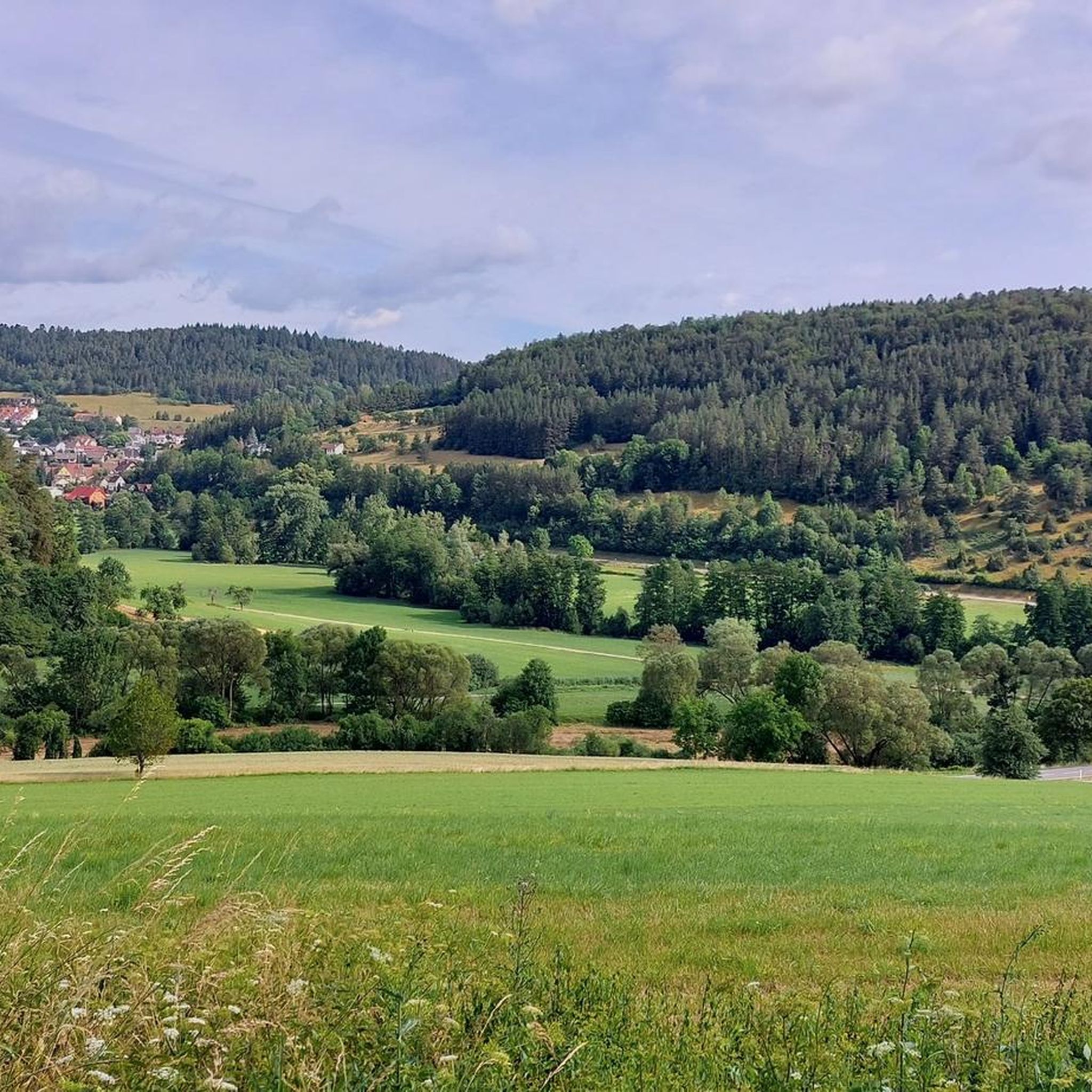
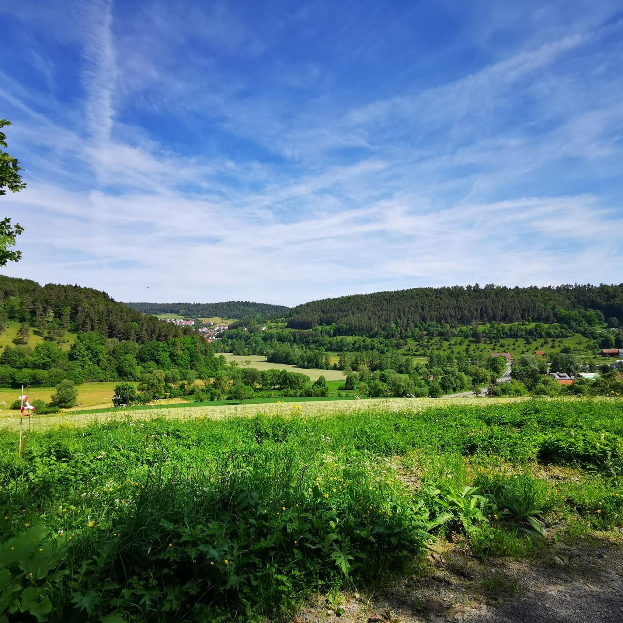

Tips from the Community

The wayside cross we encounter here does not bear the Corpus Christi; instead, a Bible verse from the Gospel of John (Chapter 15) is incorporated into the beams: 'I am the vine, you are the branches.' In a reflection on the seven biblical 'I am' sayings of Jesus, Sr. Thekla Baumgart OSB writes: + 'The images all come from Jesus' everyday life and were catchy and understandable for the people of his time. For us today, some are understandable, while others are alien, or their significance has changed. What the seven 'I am' sayings have in common is their structure: the self-declaration 'I am...' (I am the vine) is followed by the consequence, i.e., a call to action – Whoever remains in me. This then leads into a promise: bears rich fruit.'
0
0

The Waldach is an almost 25 km long river in western Baden-Württemberg in the transition area between the Northern Black Forest and the Gäu, which flows into the river Nagold in the town of Nagold in the district of Calw from the right and south. The Waldach is a small river on the eastern edge of the Northern Black Forest towards the Upper Gäu, which drains a landscape triangle framed by the watercourses of the Upper Nagold to the north, the Upper Neckar to the southeast, and its tributary the Glatt, in a generally northeastern direction, with an approximate arc to the northwest, towards the Nagold. The Waldach originates in the municipality of Waldachtal, named after it, from some small streams. The Schneckenbächle, the official upper course[4], springs from the source furthest from the mouth, about 1.5 km south-southwest of the center of the village of Tumlingen, in the municipality, and at about 635 m above sea level, shortly before a strip of forest where the border with the neighboring municipality of Schopfloch to the southwest runs. The initially northeastern course in a flat, straight valley floor already turns to a north-northwesterly course before the village boundary; in and shortly after Tumlingen, the stream receives two larger left tributaries, the Weiherbach and the Heppersbach, which still originate beyond the border in Schopfloch territory. Here it also enters the Northern Black Forest, characterized by the colorful sandstone, from the natural region of the Upper Gäue, characterized by Muschelkalk in the underground. The Waldach then winds its way through the village of Lützenhardt, the hamlet of Vesperweiler, the village of Cresbach, and the hamlets of Ober- and Unterwaldach of the municipality, now on a northeastern course in a valley deepened by about 80 meters towards the wooded and interspersed with cleared patches marginal heights, above which, shortly before the last hamlet, the Rüdenberg castle ruin stands on a left confluence spur. Afterwards, it enters the municipal area of Pfalzgrafenweiler, whose central namesake settlement lies to the left on the height, and under forest slopes, after the Vörbach ruin, located on another left confluence spur, the narrowing valley floor also fills with forest, where no significant road runs anymore. For the next four and a half kilometers of its northeastern course, above which a viewing tower located to the left above the valley on the site of the Mantelberg ruin offers a view, the following Bösinger Mühle of Pfalzgrafenweiler is the only settlement in the valley, .... Source: https://de.wikipedia.org/wiki/Waldach
1
0

The Waldach is a river just under 25 km long in western Baden-Württemberg in the transition area between the Northern Black Forest and Gäu. It flows into the town of Nagold in the district of Calw from the right and from the south into the Nagold. The confluence is located at the end of the Nagold knee opposite the Schlossberg with the ruin Hohennagold at less than 400 m above sea level. In total, the Waldach is 24.681 km long and has a catchment area of around 157 km². Its largest tributary is the Steinach, which alone contributes about 53.6 km² to the catchment area.
0
0

Great view from the bike path over Altingen, Kayh and Mönchberg to the Schönbuch
5
0

Great Christmas gathering in Waldachtal
0
0

Always a beautiful sight!
0
0

The “Posthotel zur Sonne” (Post Hotel at the Sun) was built in 1697 as one of the first larger buildings outside the Upper Gate on the Vorstadtplatz (Suburb Square) by butcher, innkeeper, and mayor Johann Philipp Deublin. In the 18th century, there was already a royal route for coaches that led from Stuttgart via Nagold to Freudenstadt and Strasbourg. In 1807, King Frederick established a post office in the Gasthaus zur Sonne. A stable for changing horses was added in 1812. At times, up to 50 animals were housed there. In 1898, the business moved to a new post office building on Leonhardstraße. Under Paul and Emma Luz, the post office was transformed into a hotel. During renovations in 1906, running water and electricity were installed. Professor Robert Nachbauer from Stuttgart had the magnificent half-timbering in the Franconian style uncovered and designed the artistically significant inn sign. `` . ... . After taking over the hotel in 1950, Karl-Friedrich and Lore Scholl had it modernized. Until its sale in 1984, the Hotel Post remained in the possession and management of the same family for generations, although the names changed: Deublin, Gschwindt, Luz, and Scholl.
7
0
Today, on a Sunday at the end of October, you can finally see the market square in its full size. Without market stalls and without large crowds.
13
0
Frequently Asked Questions
What is the general difficulty level of touring cycling routes in Winterhalde?
Winterhalde offers a wide range of touring cycling routes suitable for various skill levels. You'll find over 200 easy routes, more than 450 moderate routes, and over 300 difficult routes. Many routes feature elevation gains, with some climbing over 400 meters, so be prepared for rolling hills and varied terrain.
Are there any family-friendly touring cycling routes in Winterhalde?
Yes, Winterhalde has numerous options for families. With over 200 easy routes available, you can find paths that are less challenging and suitable for a leisurely family ride. Look for routes that follow river valleys, as these often have gentler gradients.
What kind of scenery and landmarks can I expect to see along the touring cycling routes?
Winterhalde's touring cycling routes wind through dense forests, picturesque river valleys, and past historical sites. You can encounter landmarks such as Unterschwandorf Castle, the Ölberg Chapel and Way of the Cross, and the Jewish Cemetery in the Forest. Many routes also follow tranquil waterways like the Waldach Stream and Ammer River, offering natural beauty.
Are there any circular touring cycling routes in Winterhalde?
Yes, many touring cycling routes in Winterhalde are designed as loops, allowing you to start and end at the same point. For example, the Mantelberg Castle Ruins – Waldach Stream loop from Nagold-Iselshausen is a popular moderate circular route covering 27.7 km.
What is the best time of year for touring cycling in Winterhalde?
The best time for touring cycling in Winterhalde is generally from spring through autumn, when the weather is mild and the natural scenery is at its most vibrant. During these seasons, paths are typically clear, and you can fully enjoy the dense forests and river valleys. Winter conditions can make some trails challenging due to snow or ice.
What do other touring cyclists say about the routes in Winterhalde?
The touring cycling routes in Winterhalde are highly regarded by the komoot community, holding an average rating of 4.6 stars from over 4300 reviews. Cyclists often praise the diverse landscapes, the mix of natural beauty and historical sites, and the well-maintained network of paths.
Are there any longer, more challenging touring cycling routes for experienced riders?
Absolutely. For experienced riders seeking a challenge, Winterhalde offers over 300 difficult routes. A notable option is the View to „Wurmlinger Kapelle“ – Ammer River loop from Nagold-Iselshausen, a challenging 63.6 km route with significant elevation gain, typically taking nearly 4 hours to complete.
Can I find touring cycling routes that pass by historical chapels or pilgrimage sites?
Yes, Winterhalde's routes often incorporate historical and religious landmarks. You can explore the Baisingen Forest Chapel – Weggental Pilgrimage Church loop from Nagold-Iselshausen, a moderate 44.9 km route that connects these significant sites.
Are there any touring cycling routes that are shorter and suitable for a quicker ride?
Yes, if you're looking for a shorter ride, there are many options. The Unterschwandorf Castle – Old Post Hotel, Nagold loop from Haiterbach is a moderate 22.9 km route that can be completed in about 1 hour 30 minutes, offering a pleasant experience without requiring a full day.
What are the typical durations for touring cycling routes in Winterhalde?
Route durations vary significantly depending on distance and difficulty. You can find shorter rides, like the 1.5-hour Unterschwandorf Castle – Old Post Hotel, Nagold loop from Haiterbach, to longer, more demanding tours such as the nearly 4-hour View to „Wurmlinger Kapelle“ – Ammer River loop from Nagold-Iselshausen. Most moderate routes fall within the 2 to 3-hour range.
Are there any specific trails or highlights related to streams or rivers?
Yes, Winterhalde's landscape is characterized by its river valleys. Many routes follow waterways like the Waldach Stream and Ammer River. You can also find specific highlights such as the Stream Discovery Trail, which offers an immersive experience along the water.
Most popular routes in Winterhalde
Most popular attractions in Winterhalde

Get inspired with the komoot mobile app


Explore more
Browse the best Cycling routes in other regions.
