The best road cycling routes in Hochwald
4.7
(199)
2,643
riders
127
rides
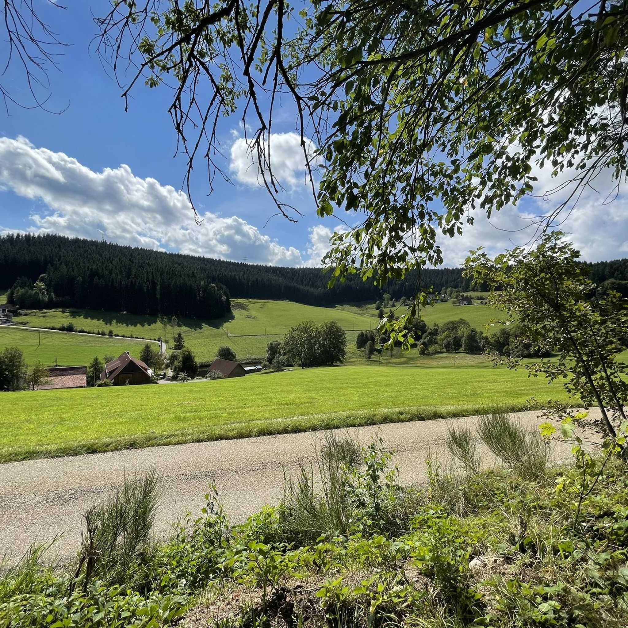
Road cycling routes in Hochwald traverse a diverse landscape, predominantly characterized by a hilly region within the Hunsrück. This area features deep valleys, natural streams, and extensive forests, offering a dynamic backdrop for road cyclists. The terrain includes both gentle slopes and challenging ascents, with wooded ridges and cultivated meadows.
Best road cycling routes in Hochwald
- The most popular road cycling route is Hexenlochmühle – View of the Black Forest Hills loop from Roßberg, a 74.7 miles (120.3 km) trail that takes 6 hours 39 minutes to complete. This difficult route features significant elevation changes through the Black Forest hills.
- Another top favourite among local road cyclists is Schiltach Old Town – Berneck Valley loop from St. Georgen(Schwarzw), a difficult 51.0 miles (82.1 km) path. This route offers challenging climbs and descents through scenic valleys.
- Local road cyclists also love the Brigach Spring – Kesselberg loop from St. Georgen(Schwarzw), a 24.4 miles (39.2 km) trail leading through rolling hills and views of the surrounding Black Forest landscape, often completed in about 1 hour 56 minutes.
- Road cycling in Hochwald is defined by varied hilly terrain, deep valleys, and extensive forests. The network offers options for different ability levels, from easy rides to routes with significant elevation gain.
- The routes in Hochwald are highly rated by the komoot community with an average score of 4.7 stars from over 180 reviews. More than 2,500 road cyclists have used komoot to explore Hochwald's varied terrain.
Last updated: October 9, 2026
4.7
(3)
82
riders
120km
06:31
2,330m
2,330m
Hard road ride. Very good fitness required. Mostly well-paved surfaces and easy to ride.
4.9
(20)
226
riders
82.0km
03:46
980m
980m
Hard road ride. Very good fitness required. Mostly well-paved surfaces and easy to ride.

4.8
(9)
146
riders
Easy road ride. Great for any fitness level. Mostly well-paved surfaces and easy to ride.
4.7
(11)
96
riders
Moderate road ride. Good fitness required. Mostly well-paved surfaces and easy to ride.
4.8
(4)
59
riders
Moderate road ride. Good fitness required. Some segments of this route may be unpaved and difficult to ride.
Get access to more routes and recommendations from other explorers.
Already have an account?
Our route recommendations are based on thousands of hikes, rides, and runs completed by other people on komoot.
Start today with a free account
Your next adventure awaits.
Tips from the Community

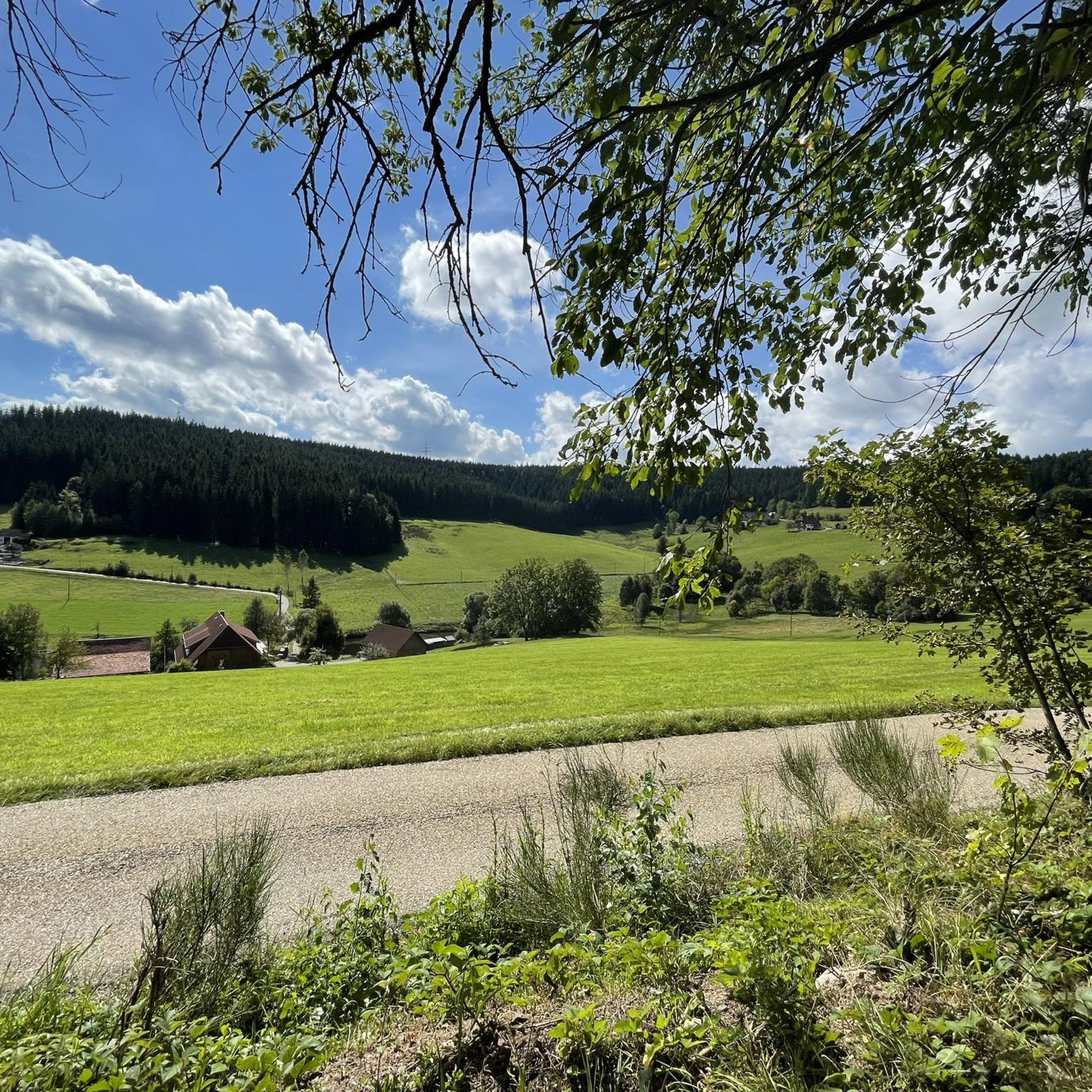
beautiful cycle path towards St. Georgen
0
0
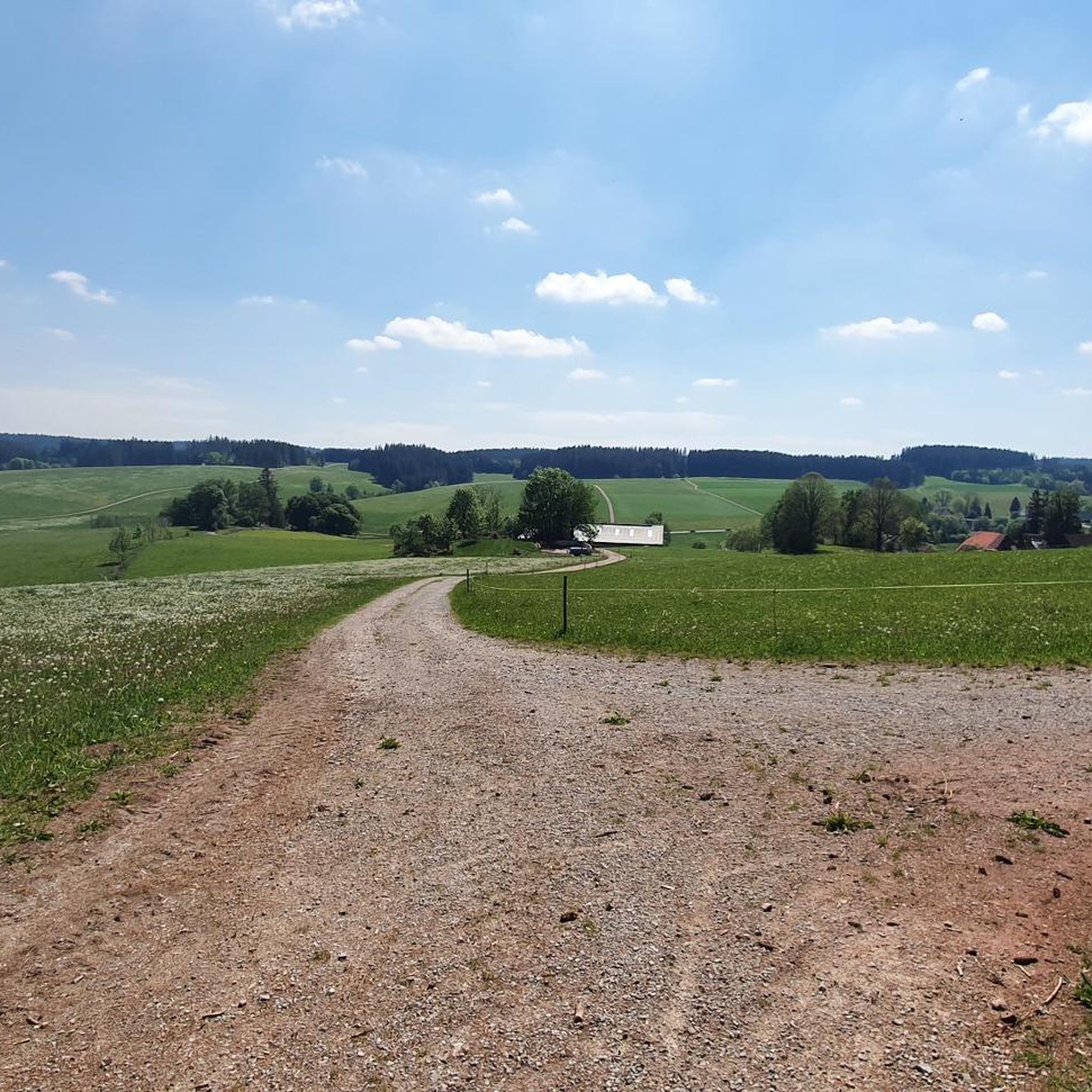
beautiful cycle path towards Villingen
0
0
beautiful cycle path along the railway with an "Eishäusle" (small ice/ice cream stand)
0
0
descent from the Martinskapelle down into the Elz valley
0
0

A tranquil lake in the Black Forest, ideal for a peaceful rest. The surrounding woodland and still water make it a lovely spot to catch your breath mid-ride.
0
0

Schiltach is a charming town with half-timbered houses. It first appeared in writing around 1275 and is absolutely worth spending some time wandering around, soaking up the historic atmosphere and admiring the beautiful old town.
3
0

Neudingen is the southernmost village in Germany located directly on the Danube. After the river originates in Donaueschingen from the confluence of the Brigach and Breg, it flows eastward and makes a distinctive bend south at Neudingen before continuing its course towards Tuttlingen.
0
0

Along the railway line, top surface!
1
0
Frequently Asked Questions
What kind of terrain can I expect on road cycling routes in Hochwald?
Hochwald offers a diverse and dynamic landscape for road cyclists. You'll encounter a hilly region with deep valleys, natural streams, and extensive forests. The terrain ranges from gentle slopes to challenging ascents, with wooded ridges and cultivated meadows, providing a visually engaging backdrop for your rides.
Are there road cycling routes suitable for beginners or families in Hochwald?
Yes, Hochwald caters to various skill levels. For an easier and family-friendly option, the Ruwer-Hochwald Cycle Route is highly recommended. This former railway line is approximately 48 kilometers long, fully paved, and largely flat with a gentle average climb of about one percent, making it ideal for less experienced cyclists and families. A special 'Radlerbus' (cyclist bus) also operates during the season to transport cyclists and their bikes, allowing for an easier return journey.
How many road cycling routes are available in Hochwald?
The komoot community has mapped over 130 road cycling routes in Hochwald. These routes offer a wide range of experiences, from easy rides to very challenging tours, ensuring there's something for every road cyclist.
What are some of the more challenging road cycling routes in Hochwald?
For experienced cyclists seeking a challenge, Hochwald offers routes with significant elevation changes. An example is the Hexenlochmühle – View of the Black Forest Hills loop from Roßberg, a difficult 120.3 km route with over 2,300 meters of elevation gain. Another demanding option is the Schiltach Old Town – Berneck Valley loop from St. Georgen(Schwarzw), an 82.1 km path with challenging climbs and descents.
What kind of natural features or landmarks can I see along the road cycling routes?
Hochwald's routes offer stunning natural beauty and interesting landmarks. You can explore the scenic Ruwer Valley, extensive forests, and wide vistas from the Hunsrück heights. Notable attractions include the Path of Springs and Buntsandstein Conglomerates, the impressive 300-Year-Old Sycamore Maple, and the Bopperturm – Germany's Lowest Observation Platform, which offers unique views.
Are there any circular road cycling routes in Hochwald?
Yes, many road cycling routes in Hochwald are designed as loops, allowing you to start and finish at the same point. For instance, the Brigach Spring – Kesselberg loop from St. Georgen(Schwarzw) is a 39.2 km trail through rolling hills. Another option is the Hexenlochmühle – View of Schwärzenbach Valley loop from St. Georgen(Schwarzw), a longer 110.7 km loop with significant elevation.
What is the best time of year for road cycling in Hochwald?
The Hochwald region is generally excellent for outdoor activities. While specific weather conditions vary, spring through autumn typically offer the most pleasant temperatures and conditions for road cycling, allowing you to fully enjoy the diverse landscapes and natural attractions.
Is Hochwald suitable for e-bike users?
Yes, Hochwald is e-bike friendly. The region provides charging stations, particularly in the western Hunsrück, making it easier for e-bike users to tackle climbs and explore the varied terrain with greater ease and comfort.
How do other cyclists rate the road cycling experience in Hochwald?
The road cycling routes in Hochwald are highly rated by the komoot community, with an average score of 4.7 stars from over 180 reviews. More than 2,500 road cyclists have used komoot to explore the region, often praising its varied hilly terrain, deep valleys, and extensive forests.
Can I connect to other cycling routes from Hochwald?
Absolutely. The Ruwer-Hochwald Cycle Route serves as a key connector, linking to other regional cycling routes such as the Hunsrück cycle route. It also provides access to the Saarland or Nahe cycle routes via the Primstal cycle route, and connects to the Mosel and Saar valley cycle routes in the west, offering extensive touring possibilities.
Are there any easy road cycling routes in Hochwald?
Yes, there are several easy road cycling routes. For example, the Stockburg Road Cycling Section – Groppertal Cycle Route loop from St. Georgen(Schwarzw) is an easy 23.3 km route with minimal elevation gain, perfect for a relaxed ride.
Most popular routes in Hochwald
Most popular attractions in Hochwald

Get inspired with the komoot mobile app


Explore more
Browse the best Road cycling routes in other regions.
