The best road cycling routes in Kohlfirst
4.5
(521)
10,404
riders
289
rides
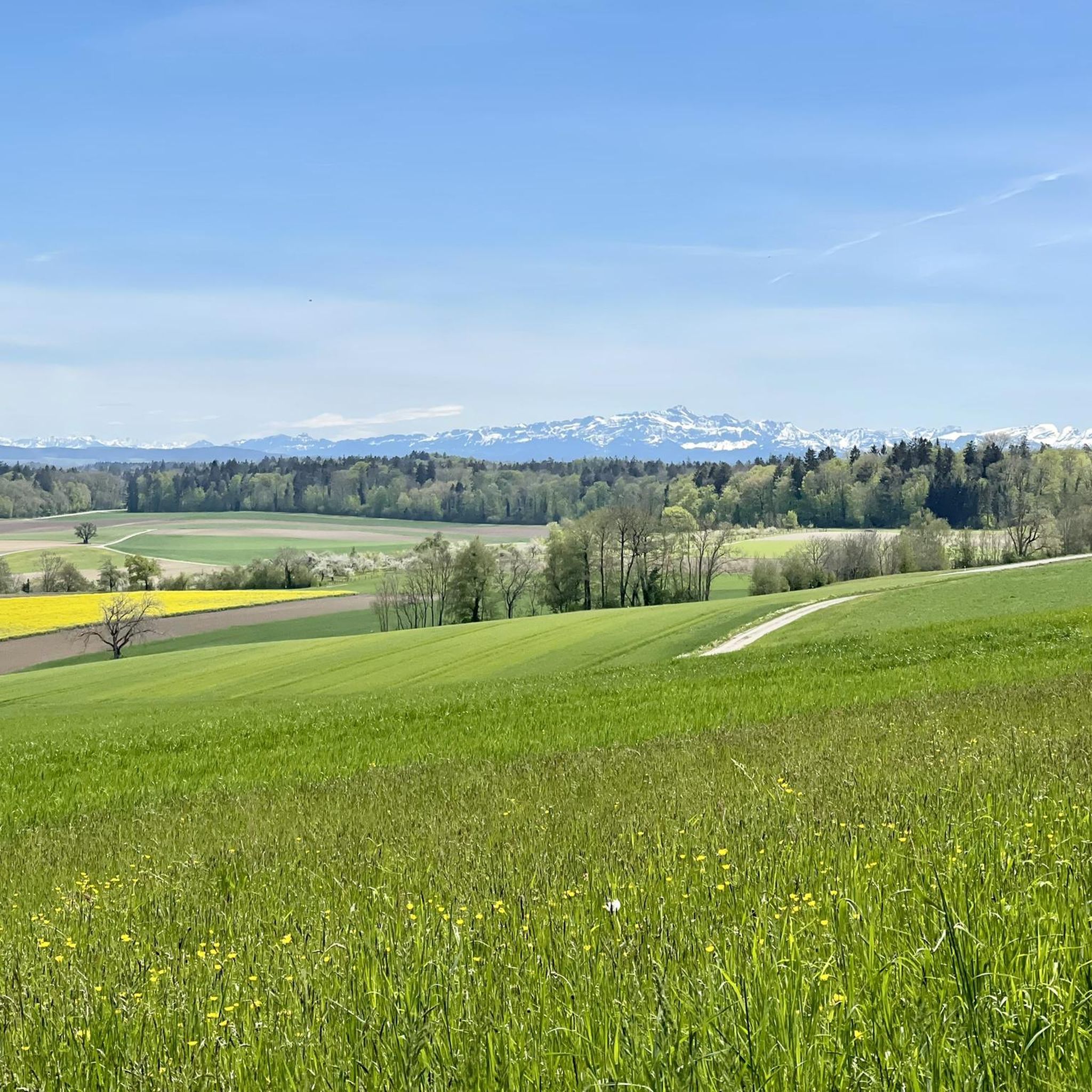
Road cycling in Kohlfirst, a forested region near Andelfingen, offers a variety of routes characterized by rolling terrain and scenic river valleys. The area features a network of roads that traverse through woodlands and open landscapes, often following the courses of rivers like the Rhine and Glatt. Elevations are generally moderate, with some routes including climbs that provide views over the surrounding countryside and historic towns. The region's topography is well-suited for road cyclists seeking diverse riding experiences.
Best road…
Last updated: October 22, 2026
4.4
(15)
189
riders
62.7km
02:39
370m
370m
Moderate road ride. Good fitness required. Some segments of this route may be unpaved and difficult to ride.
50
riders
48.1km
02:12
480m
480m
Moderate road ride. Good fitness required. Mostly well-paved surfaces and easy to ride.

24
riders
38.6km
01:44
340m
340m
Moderate road ride. Good fitness required. Mostly well-paved surfaces and easy to ride.
17
riders
75.4km
03:35
900m
900m
Hard road ride. Very good fitness required. Mostly well-paved surfaces and easy to ride.
4.1
(7)
102
riders
Moderate road ride. Good fitness required. Mostly well-paved surfaces and easy to ride.
Get access to more routes and recommendations from other explorers.
Already have an account?
Our route recommendations are based on thousands of hikes, rides, and runs completed by other people on komoot.
Start today with a free account
Your next adventure awaits.




Tips from the Community

Wonderful view over the Rhine
0
0
Beautiful route, great view of the water
0
0
Good to know where the fountains are
0
0

Also a beautiful sight from the outside.
0
0

A very well-maintained monastery in paradise, or is this the paradise everyone always talks about?
0
0

The view of the Rhine and the fields near Flaach is beautiful. It's worth stopping here for a quick break.
0
0

A bit narrow, but a nice view!
0
0

The cycle path here is very beautiful and offers great panoramic views.
0
0
Frequently Asked Questions
How many road cycling routes are available in Kohlfirst?
Kohlfirst offers a wide variety of road cycling experiences, with over 300 routes documented. These range from easy rides to challenging climbs, ensuring there's something for every skill level.
What is the general difficulty level of road cycling routes in Kohlfirst?
The routes in Kohlfirst cater to a broad spectrum of cyclists. You'll find approximately 46 easy routes, 184 moderate routes, and 77 difficult routes, providing options for beginners to experienced riders.
Are there any scenic viewpoints along the road cycling routes in Kohlfirst?
Yes, Kohlfirst features several scenic viewpoints that can be incorporated into your rides. Notable spots include Uhwieser Hörnli and the Cholfirst Tower, both offering great vistas. The Hochwacht Wildensbuch Observation Tower is another excellent option for panoramic views.
What kind of natural features can I expect to see while cycling in Kohlfirst?
Beyond the forest itself, Kohlfirst's routes can lead you to interesting natural monuments. You might encounter the Alemanni Cave or the unique Quarzsand Quarry, Benken Nature Reserve. There are also impressive trees like The Four Douglas Firs.
Are there any challenging road bike climbs in Kohlfirst?
For those seeking a challenge, Kohlfirst offers routes with significant elevation gain. For example, the route 'Glatt River Cycle Path – View of the Rhine Falls loop from Langwiesen' involves over 900 meters of ascent over 74 km, making it a demanding ride. You'll find 77 routes classified as difficult.
Can you recommend a moderate road cycling route with historical landmarks?
Certainly. The route 'Munot Fortress, Schaffhausen – Thur Bridge near Andelfingen loop from Langwiesen' is a moderate 62 km ride with over 550 meters of elevation gain, taking you past the historic Munot Fortress in Schaffhausen.
Are there any circular road cycling routes in Kohlfirst?
Many of the road cycling routes in Kohlfirst are designed as loops, allowing you to start and end at the same point. An example is the 'View of Diessenhofen – Seal Tower, Diessenhofen loop from Langwiesen', which is a moderate 62 km circular tour.
What do other road cyclists think about the routes in Kohlfirst?
The komoot community highly rates road cycling in Kohlfirst, with an average score of 4.6 out of 5 stars from 374 ratings. Cyclists often praise the varied terrain and the beautiful forest scenery.
Is there a road cycling route that explores the Rhine river area near Kohlfirst?
Yes, you can find routes that follow the Rhine. The 'Girsberg Castle – Paradise on the Rhine loop from Langwiesen' is a moderate 38 km route that offers views of the Rhine and passes by Girsberg Castle.
What is a good moderate route starting from Feuerthalen?
From Feuerthalen, a good moderate option is the 'Town Hall of Stein am Rhein – Seal Tower, Diessenhofen loop from Feuerthalen'. This route covers about 64 km with around 440 meters of elevation gain, offering a scenic ride.
Most popular routes in Kohlfirst
Most popular attractions in Kohlfirst

Get inspired with the komoot mobile app


Explore more
Browse the best Road cycling routes in other regions.
