The best walks and hikes in Ungerhauser Wald
4.5
(1668)
6,497
hikers
563
hikes
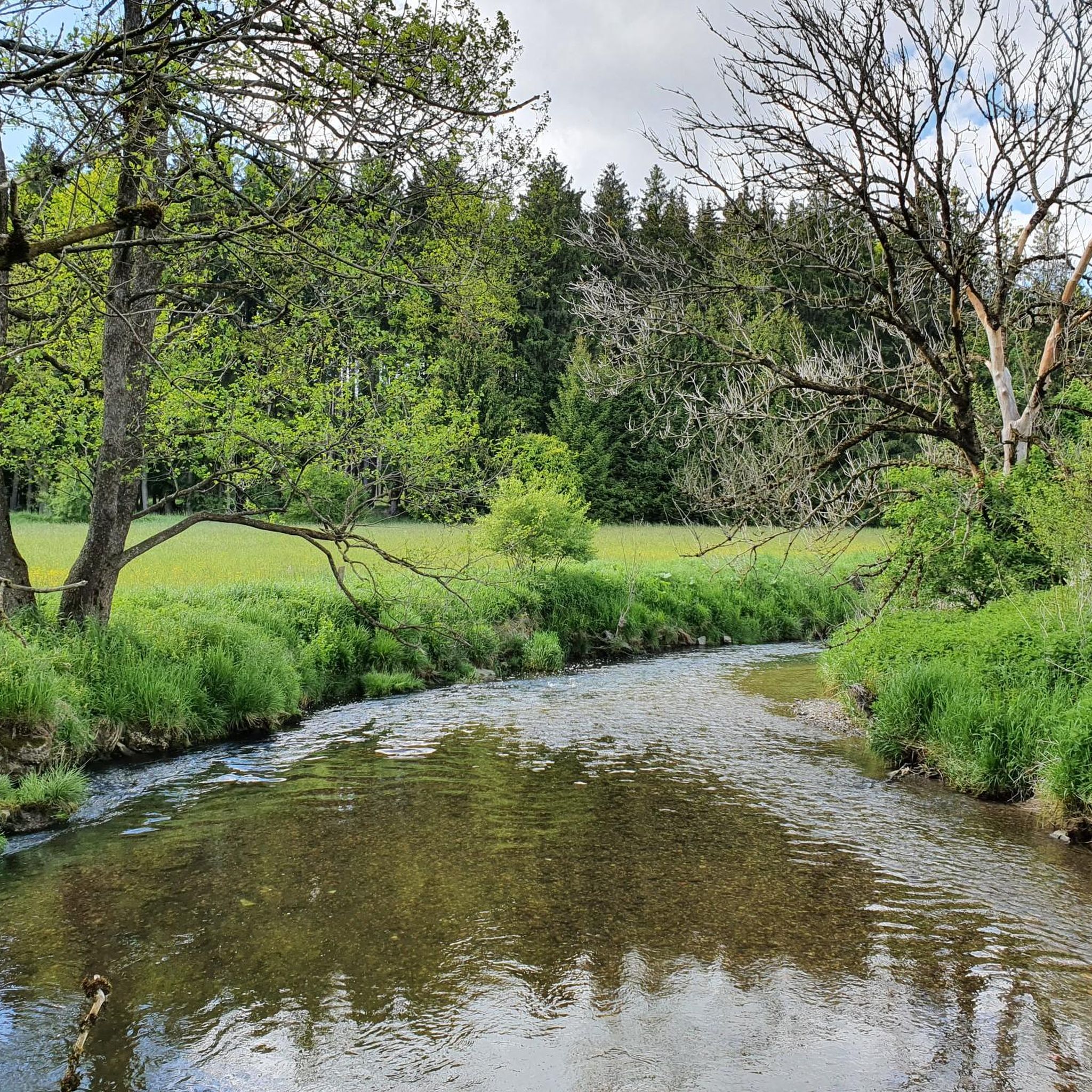
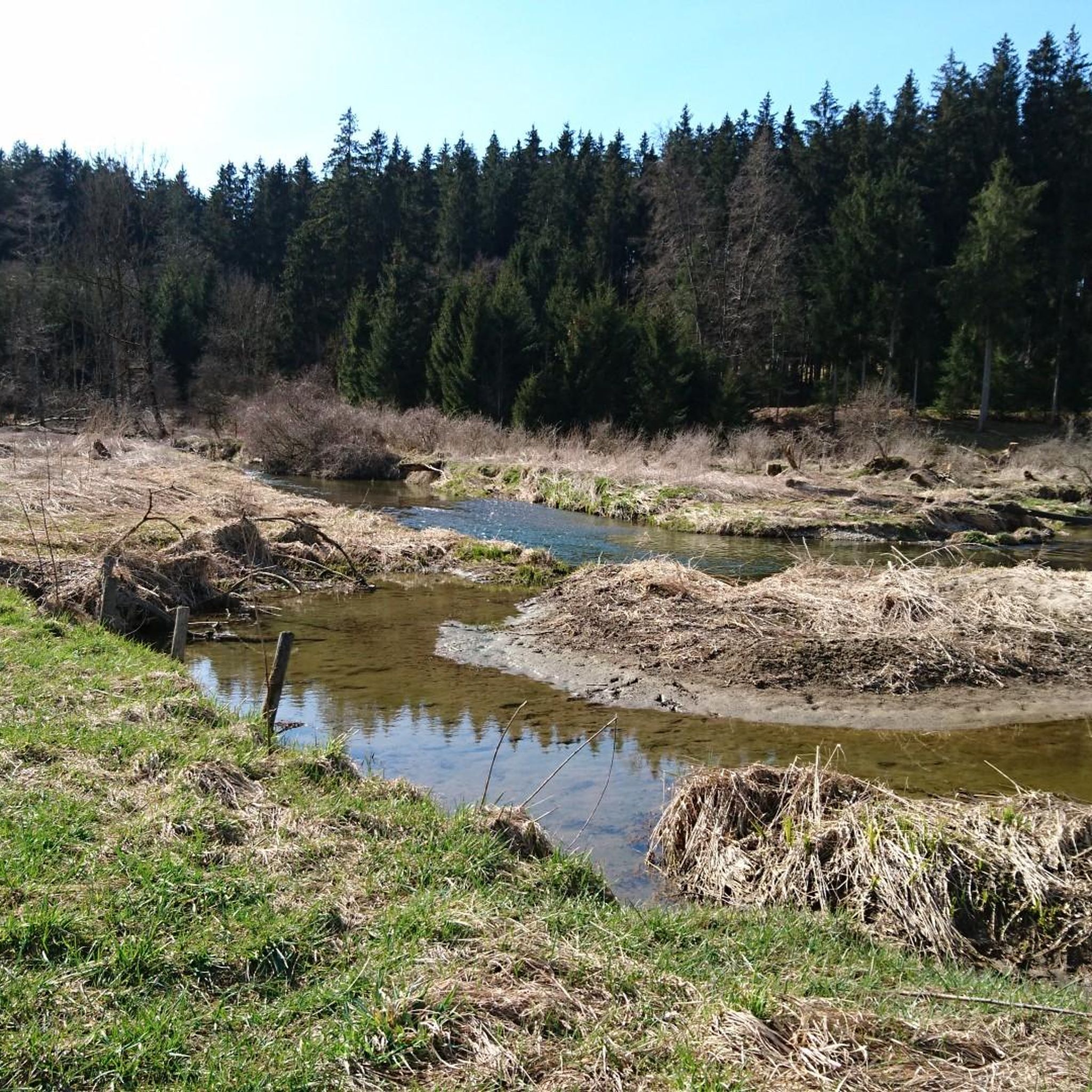
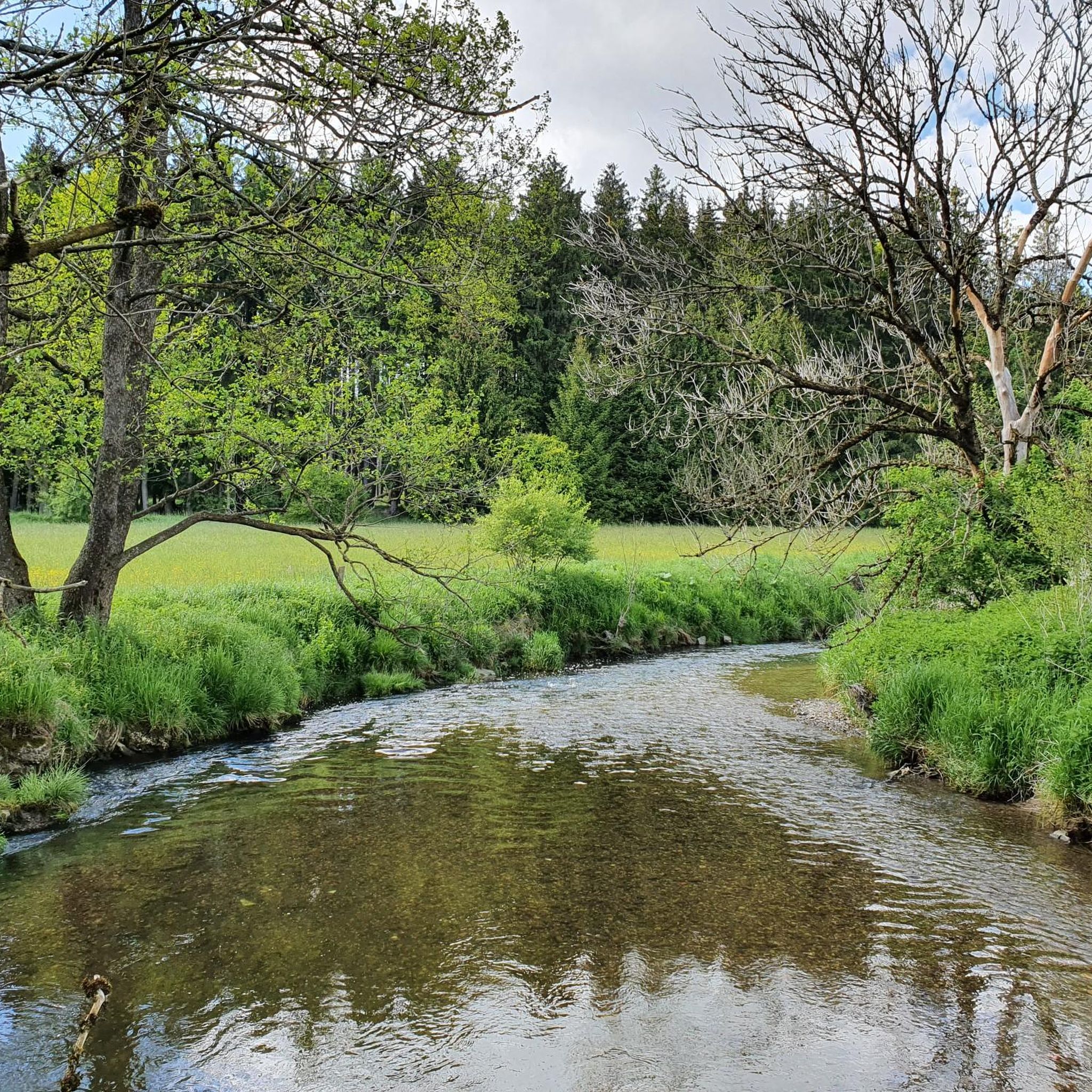
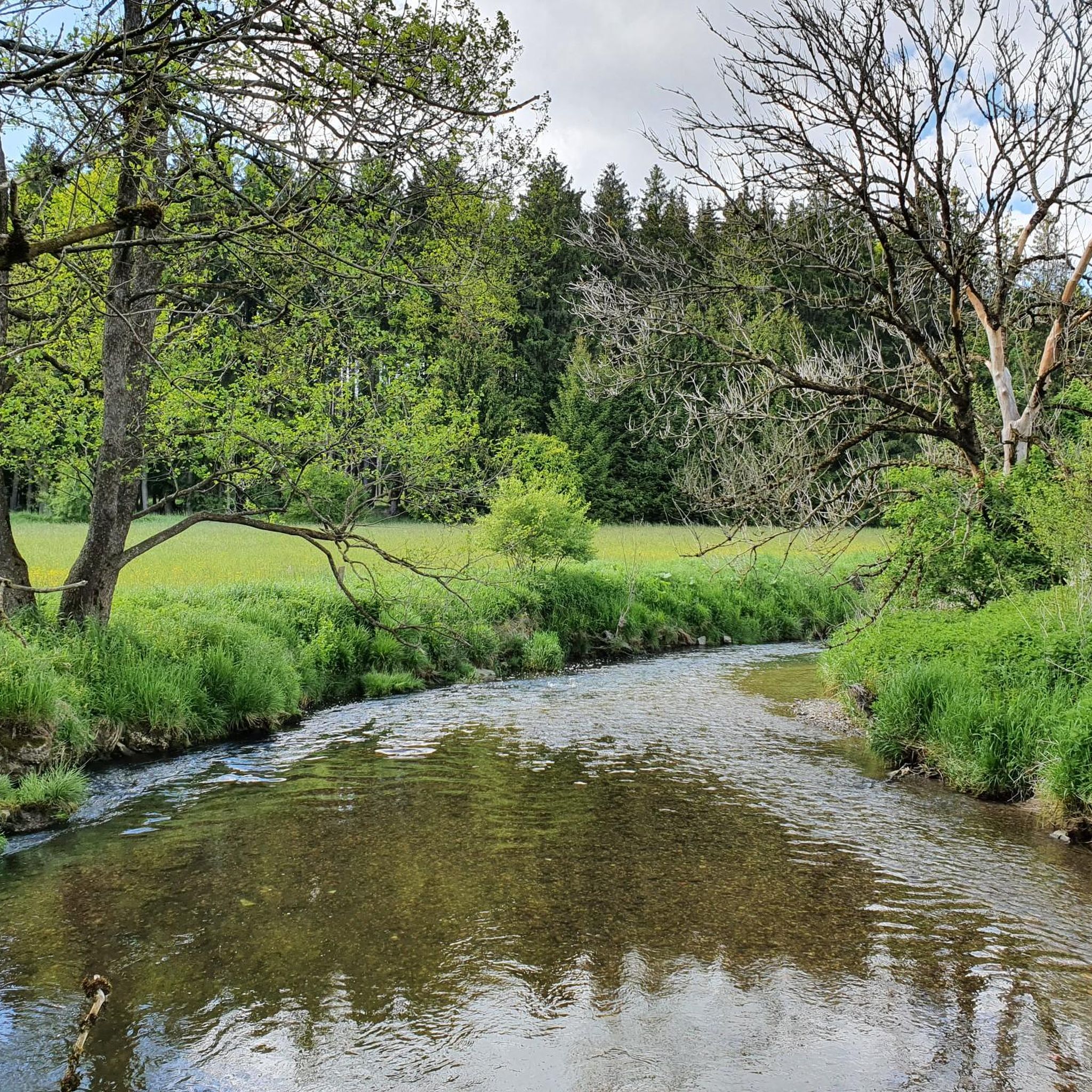
Hiking in Ungerhauser Wald offers diverse landscapes, combining shady forest paths with lush meadows, particularly within the Günz valley. The region, situated at an altitude of 651 meters, features natural elements like the Hundsmoor Nature Reserve, known for its biodiversity. This area provides varied scenery for outdoor activities, with designated trails suitable for different fitness levels.
Best hiking trails in Ungerhauser Wald
- The most popular hiking route is Günz Bridge – Bridge over the Günz loop from Hawangen, a…
Last updated: July 8, 2026
5.0
(6)
29
hikers
7.35km
01:56
70m
70m
Easy hike. Great for any fitness level. Easily-accessible paths. Suitable for all skill levels.
5.0
(3)
28
hikers
Easy hike. Great for any fitness level. Easily-accessible paths. Suitable for all skill levels.

Sign up for free
4.0
(4)
15
hikers
8.14km
02:08
60m
60m
Moderate hike. Good fitness required. Easily-accessible paths. Suitable for all skill levels.
4.9
(8)
19
hikers
6.87km
01:48
50m
50m
Easy hike. Great for any fitness level. Easily-accessible paths. Suitable for all skill levels.
4.0
(2)
8
hikers
9.16km
02:22
40m
40m
Moderate hike. Good fitness required. Easily-accessible paths. Suitable for all skill levels.
Get access to more routes and recommendations from other explorers.
Sign up for free
Already have an account?
Our route recommendations are based on thousands of hikes, rides, and runs completed by other people on komoot.
Start today with a free account
Your next adventure awaits.
Login or Signup

Tips from the Community

beautiful route for a bike tour
0
0

...in some places you can even swim!!! 😀
0
0

Beautiful cycle path on the old railway line with nice information boards and rest areas
2
0


The 21-hectare Hundsmoor has been a nature reserve since the 1980s. It is one of the few intermediate moors in the Swabian Alpine foothills and the most pristine of the four nature reserves in the Unterallgäu district. It is home to around 100 endangered animal and plant species, such as the yellow-bellied toad and the marsh sedge.
0
0

Former Hiltbrand castle, moat and mound still clearly visible
0
0

Nice place for short hikes. Especially good in extreme sun because it is very shady
0
0
Frequently Asked Questions
How many hiking trails are available in Ungerhauser Wald?
Ungerhauser Wald offers over 500 hiking routes, catering to various preferences. You'll find a wide selection, with more than 350 easy trails, over 170 moderate options, and a few more challenging paths.
What kind of landscapes can I expect while hiking in Ungerhauser Wald?
The region is characterized by diverse landscapes, featuring a pleasant mix of shady forest paths and vibrant, lush meadows, particularly within the Günz valley. This variety ensures a refreshing and scenic experience for hikers.
Are there easy hiking options suitable for beginners or families?
Yes, Ungerhauser Wald is very accessible for beginners and families. Over 350 of the available routes are classified as easy. A great option is the Hundsmoor Nature Reserve – Bridge over the Günz loop from Hawangen, an easy 2.8-mile (4.6 km) path that traverses the Hundsmoor Nature Reserve.
Can I find circular hiking routes in Ungerhauser Wald?
Yes, many of the trails in Ungerhauser Wald are designed as circular routes, allowing you to start and end at the same point. For example, the Günz Bridge – Bridge over the Günz loop from Hawangen is a popular 4.6-mile (7.3 km) circular trail featuring views of the Günz river.
What are some notable natural features or landmarks to look out for?
A significant natural feature is the Hundsmoor Nature Reserve, known for its rare flora and fauna. You can also explore the Hundsmoor Wetland in Günztal and the scenic Bridge over the Günz. The region also features parts of the Günztal Cycle Path.
Is Ungerhauser Wald suitable for hiking with dogs?
Ungerhauser Wald is generally dog-friendly, offering many natural paths suitable for walks with your canine companion. However, always ensure your dog is kept under control, especially in nature reserve areas like Hundsmoor, to protect local wildlife and plants.
What is the best time of year to go hiking in Ungerhauser Wald?
Ungerhauser Wald is enjoyable throughout much of the year. Spring and autumn offer pleasant temperatures and beautiful scenery with blooming flowers or colorful foliage. Summer provides lush green landscapes and shady forest paths, while winter can offer serene, quiet walks, though conditions may vary.
How long do hikes typically take in this region?
Hike durations vary depending on the route and your pace. Many easy trails, like the 2.8-mile (4.6 km) loop through Hundsmoor Nature Reserve, can be completed in under 1.5 hours. Longer, moderate routes, such as the Günz Bridge – Hundsmoor Wetland in Günztal loop from Ungerhausen (5.1 miles / 8.1 km), typically take around 2 hours to complete.
Are there any moderate or more challenging trails for experienced hikers?
Yes, Ungerhauser Wald offers over 170 moderate trails for those seeking a bit more challenge. The Hundsmoor Wetland in Günztal – Günz Bridge loop from Westerheim is a moderate 5.7-mile (9.2 km) route that provides a good workout with varied terrain. There are also a few more difficult routes available for experienced hikers.
What do other hikers say about their experience in Ungerhauser Wald?
The area is highly rated by the komoot community, with an average score of 4.5 stars from over 1,400 reviews. Hikers often praise the diverse landscapes, the tranquility of the forest paths, and the natural beauty of the Günz valley and Hundsmoor Nature Reserve.
Where can I find parking when visiting Ungerhauser Wald?
While specific parking spots are not detailed in every route description, Ungerhauser Wald is a popular hiking destination, and you can typically find designated parking areas near trailheads or access points within the surrounding villages like Hawangen or Ungerhausen.
Is Ungerhauser Wald accessible by public transport?
Information on direct public transport access to specific trailheads within Ungerhauser Wald can vary. It's advisable to check local bus or train schedules for connections to nearby towns such as Hawangen or Ungerhausen, from which you might be able to reach the hiking areas.
Are there places to eat or drink near the hiking trails?
While the immediate forest area is natural, the surrounding villages like Hawangen and Ungerhausen offer local cafes and restaurants where you can find refreshments and meals before or after your hike.
What kind of trail surfaces will I encounter?
You will primarily encounter natural trail surfaces, including well-maintained forest paths, dirt tracks, and grassy sections through meadows. These surfaces contribute to the natural and immersive hiking experience in Ungerhauser Wald.
Most popular routes in Ungerhauser Wald
Most popular attractions in Ungerhauser Wald

Get inspired with the komoot mobile app


Explore more
Browse the best Hikes in other regions.
