The best walks and hikes in Wörishofener Wald
4.5
(2965)
13,652
hikers
22
hikes
Hiking trails in Wörishofener Wald are primarily characterized by dense woodlands and gentle, rolling terrain, making them suitable for various activity levels. This forest region in Unterallgäu offers a network of paths through a natural environment. The landscape features well-maintained forest trails and open areas, providing a tranquil setting for outdoor activities.
Best hiking trails in Wörishofener Wald
- The most popular hiking route is The Bird Clock – Tree Species Educational Board loop from Osterlauchdorf, Abzw, a 4.2 miles…
Last updated: October 11, 2026
4.9
(24)
85
hikers
Moderate hike. Good fitness required. Easily-accessible paths. Suitable for all skill levels.
5.0
(7)
43
hikers
Easy hike. Great for any fitness level. Easily-accessible paths. Suitable for all skill levels.

4.8
(4)
21
hikers
Easy hike. Great for any fitness level. Easily-accessible paths. Suitable for all skill levels.
4.8
(8)
34
hikers
Easy hike. Great for any fitness level. Easily-accessible paths. Suitable for all skill levels.
5.0
(2)
12
hikers
5.97km
01:37
80m
80m
Easy hike. Great for any fitness level. Easily-accessible paths. Suitable for all skill levels.
Get access to more routes and recommendations from other explorers.
Already have an account?
Our route recommendations are based on thousands of hikes, rides, and runs completed by other people on komoot.
Start today with a free account
Your next adventure awaits.
Other adventures in Wörishofener Wald

Tips from the Community

It is not a fairytale castle that is described here. ;-)
0
0
You learn about the power of nature when you follow.
0
0
Here you can read about what happened to the sunken castle.
0
0
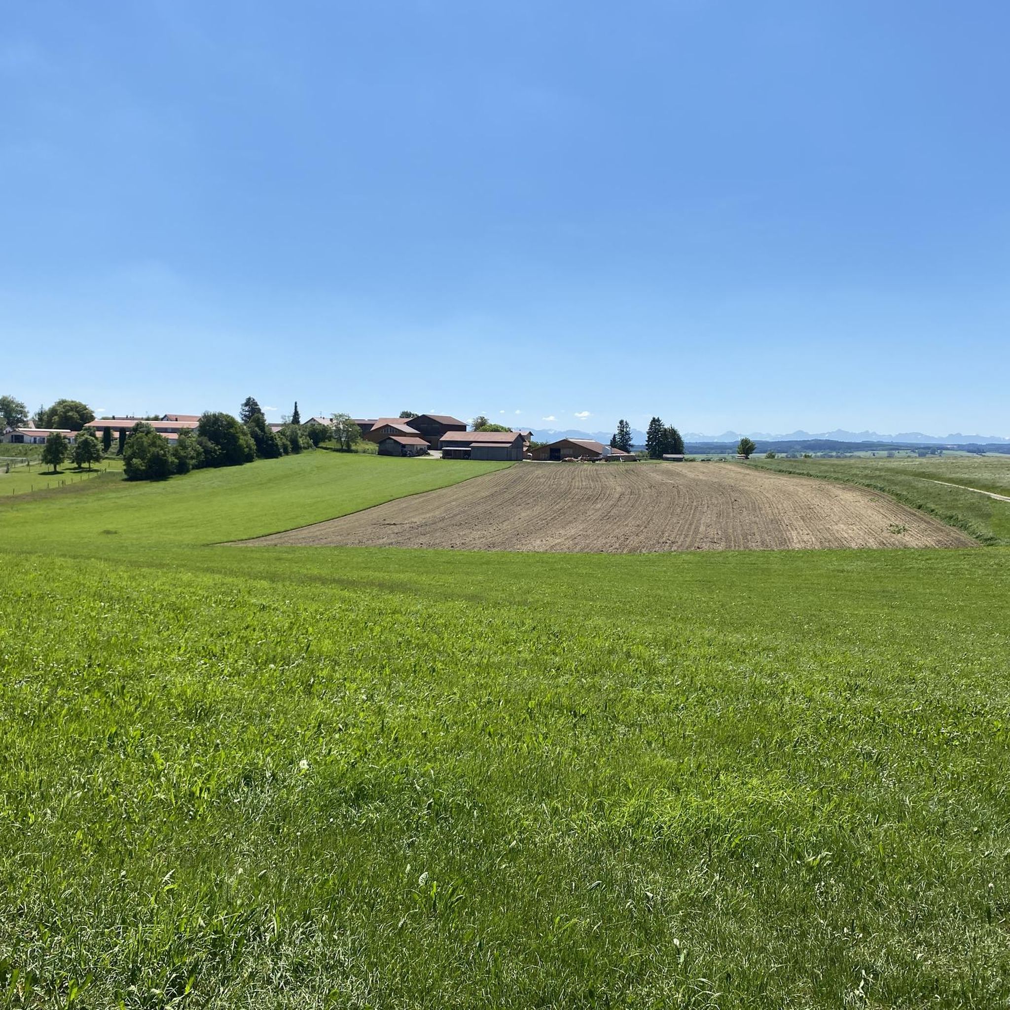
Beautiful view over the Mindel plain to the Alps.
0
0


Original idea, nice place with small attractions for children in beautiful surroundings
0
0

This memorial commemorates a natural disaster with a red wedge that stands in the forest as if driven into the landscape. It's an impressive monument. A nearby information panel describes the effects of the storm.
1
0
Frequently Asked Questions
How many hiking trails are available in Wörishofener Wald?
Wörishofener Wald offers a network of nearly 20 hiking trails. Most of these, 15 out of 17, are classified as easy, making them accessible for various fitness levels.
Are there easy hiking trails suitable for families in Wörishofener Wald?
Yes, the majority of trails in Wörishofener Wald are easy, characterized by gentle terrain and well-maintained paths, making them ideal for families. A great option is the Mushroom Information Boards – The Bird Clock loop from Bad Wörishofen, which is an easy 2.4-mile (3.9 km) path with educational elements.
What kind of views can I expect on hikes in Wörishofener Wald?
While Wörishofener Wald is primarily dense woodland, some routes offer glimpses beyond the forest. For instance, the View of the Allgäu Alps loop from Waldmühle provides distant views of the majestic Allgäu Alps on clear days.
Are there circular walks available in Wörishofener Wald?
Yes, many of the trails in Wörishofener Wald are designed as circular routes, allowing you to start and end at the same point. Examples include The Bird Clock – Tree Species Educational Board loop from Osterlauchdorf, Abzw and the View of the Allgäu Alps loop from Waldmühle.
What are some interesting landmarks or attractions to see along the trails?
Along the trails, you can discover several interesting points. Look out for the unique Forest Sculptures of Gnomes and Trolls, or visit the Avenue of the Trees of the Year. You might also find Kneipp facilities, such as the Kneipp Water-Treading Facility, perfect for a refreshing break.
What do other hikers enjoy most about hiking in Wörishofener Wald?
The komoot community highly rates Wörishofener Wald, with an average score of 4.6 stars from over 30 reviews. Hikers often praise the tranquil atmosphere of the dense woodlands, the well-maintained paths, and the gentle terrain that makes the area enjoyable for all skill levels.
Is Wörishofener Wald suitable for winter hiking?
Wörishofener Wald's gentle terrain and sheltered forest paths can be suitable for winter hiking, especially after light snowfall. Always check local conditions and weather forecasts before heading out, as some paths may become slippery or less accessible in heavy snow.
Are there any cafes or refreshment stops near the hiking trails?
While the forest itself is primarily natural, the nearby town of Bad Wörishofen offers various cafes and restaurants where you can find refreshments before or after your hike. For a specific route that passes by a potential stop, consider the Hartenthaler Hof Inn – View of the Alps from Allgäu loop from Waldmühle.
How long do hikes in Wörishofener Wald typically take?
Hikes in Wörishofener Wald vary in length and duration. For example, The Bird Clock – Tree Species Educational Board loop from Osterlauchdorf, Abzw is about 4.2 miles (6.7 km) and takes approximately 1 hour 46 minutes, while the Avenue of the Trees of the Year – Bad Wörishofen Spa Train Stop loop from Waldmühle is 3 miles (4.8 km) and takes around 1 hour 18 minutes.
What is the best time of year to visit Wörishofener Wald for hiking?
Wörishofener Wald is enjoyable throughout the year. Spring brings fresh greenery, summer offers cool shade, and autumn transforms the forest with vibrant colors. Even in winter, the quiet, snow-dusted paths can be beautiful. The best time depends on your preference for weather and scenery.
Are there less crowded hiking options in Wörishofener Wald?
Given the relatively low number of visitors (over 150 hikers have used komoot to explore), Wörishofener Wald generally offers a peaceful hiking experience. To find even quieter paths, consider exploring some of the less-trafficked routes away from the main educational loops, or visit during off-peak hours.
Most popular routes in Wörishofener Wald
Most popular attractions in Wörishofener Wald

Get inspired with the komoot mobile app


Explore more
Browse the best Hikes in other regions.
