The best mountain hikes in Arzler Wald
4.7
(68)
684
hikers
36
hikes
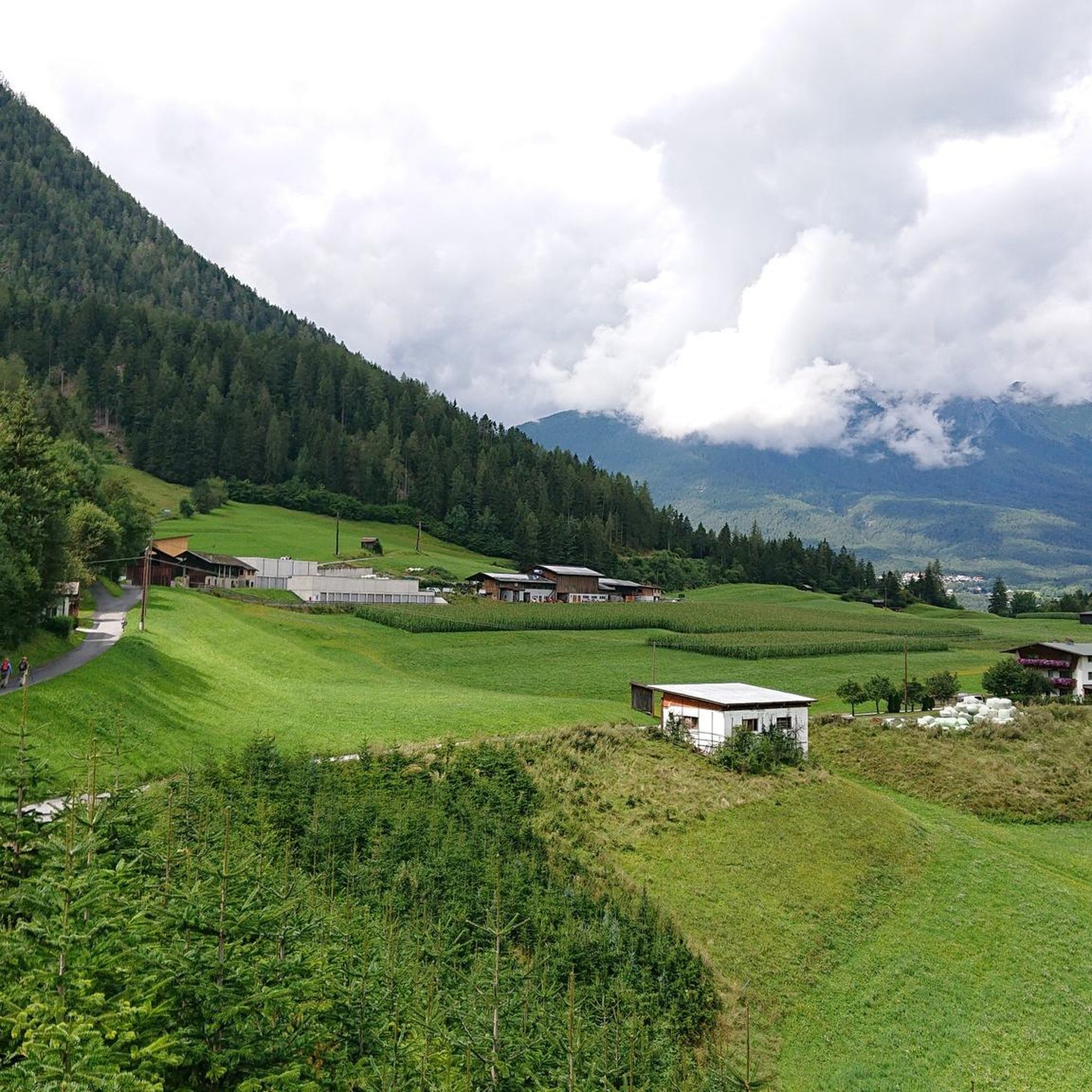
Mountaineering in Arzler Wald offers diverse landscapes within the Kaunergrat mountain range, a segment of the Ötztaler Alps. The region features challenging terrain, including the Arzler Pitzeklamm, a designated landscape protection area with unique gorge forests. Mountaineers can expect impressive views of the Pitztal glaciers and the 3,353-meter-high Rofelewand, alongside extensive forested areas. The area around Arzler Alm provides panoramic views over the Inn Valley, with routes often involving steep trails and significant elevation gain.
Best mountaineering routes in Arzler Wald
- The most popular mountaineering route is Tschirgant Summit – Bergwacht Mountain Hut loop from Karrösten, a 9.6 miles (15.5 km) trail that takes about 7 hours 35 minutes to complete, featuring significant elevation gain towards the summit.
- Another top favourite among local mountaineers is View of Imst – Tschirgant Summit loop from Karrösten, a difficult 8.8 miles (14.2 km) path offering extensive views and a demanding ascent.
- Local mountaineers also love the Hochasteralm – Venetalm loop from Puitalm, a 7.0 miles (11.2 km) trail leading through alpine pastures, often completed in about 4 hours 3 minutes.
- Mountaineering in Arzler Wald is defined by the Kaunergrat mountain range, the Arzler Pitzeklamm gorge, and extensive forests, offering routes for various ability levels from moderate to difficult.
- The routes in Arzler Wald are highly rated by the komoot community with an average score of 4.7 stars from over 60 reviews. More than 600 mountaineers have used komoot to explore Arzler Wald's varied terrain.
Last updated: July 8, 2026
7
hikers
11.2km
04:00
500m
500m
Hard mountaineering route. Good fitness required. Sure-footedness, sturdy shoes and alpine experience required.
5.0
(2)
26
hikers
15.1km
07:13
1,310m
1,310m
Hard mountaineering route. Very good fitness required. Sure-footedness, sturdy shoes and alpine experience required.

Sign up for free
5.0
(1)
13
hikers
16.7km
07:47
1,350m
1,350m
Hard mountaineering route. Very good fitness required. Sure-footedness, sturdy shoes and alpine experience required.
5.0
(1)
21
hikers
5.64km
01:50
250m
250m
Easy mountaineering route. Great for any fitness level. Easily-accessible paths. Suitable for all skill levels.
5.0
(1)
6
hikers
5km
03:32
650m
650m
Hard mountaineering route. Good fitness required. Sure-footedness, sturdy shoes and alpine experience required.
Get access to more routes and recommendations from other explorers.
Sign up for free
Already have an account?
Our route recommendations are based on thousands of hikes, rides, and runs completed by other people on komoot.
Start today with a free account
Your next adventure awaits.
Login or Signup

Tips from the Community

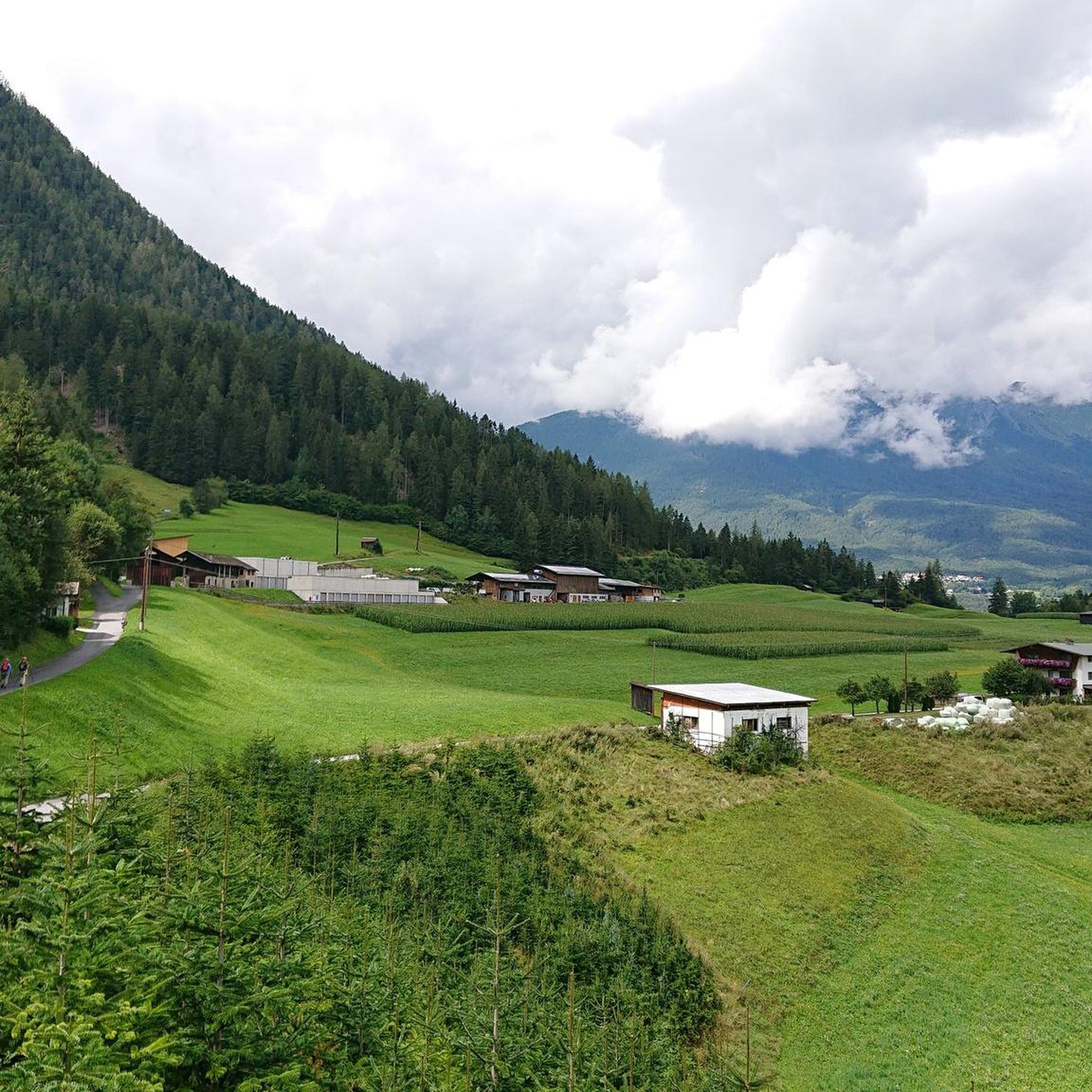
A very beautiful alpine pasture; unfortunately, the sympathy we were used to has gone down the drain with the new tenant. And if the good lady is reading this – if you're going to criticize someone (at the alpine pasture), it's best to do it at a low volume. But fortunately, this isn't the only alpine pasture in the region.
0
0

Entrance to the Rosengarten Gorge with rock formations into which residential buildings have been integrated. Historically, these houses, built into the rock, served as homes and workplaces. Their origins are closely linked to the geological composition of the Bergl, formed by the Inn Valley glacier some 26,000 years ago. The use of the rock as an integral part of the buildings not only provided protection from the elements but also natural insulation. Today, the Bergl houses are an important cultural heritage site in Imst and a popular photo opportunity for visitors. They symbolize historic architecture and the impressive ability of people to adapt to their natural environment. A walk through this district provides a fascinating insight into the history and lifestyles of past generations.
6
0

Certainly one of the most beautiful alpine pastures in the Alps. Distant views of the Zugspitze, Karwendel Mountains, Kaunertal Valley, Pitztal Valley, Inn Valley, and more. The cuisine is excellent, and beer, wine, and schnapps from the surrounding area are available! A special highlight is the sunrise hike to the "Imsterberger Venetkreuz" (Imsterberg Venet Cross). Any car can drive to the parking lot at the alpine hut. From there, it's about a 45-minute walk to the cross. A spectacular sunrise awaits you there. Afterwards, a delicious sunrise breakfast is served at the alpine pasture (please reserve by phone).
0
0

Via mountain rescue trail to Tschirgant
1
0

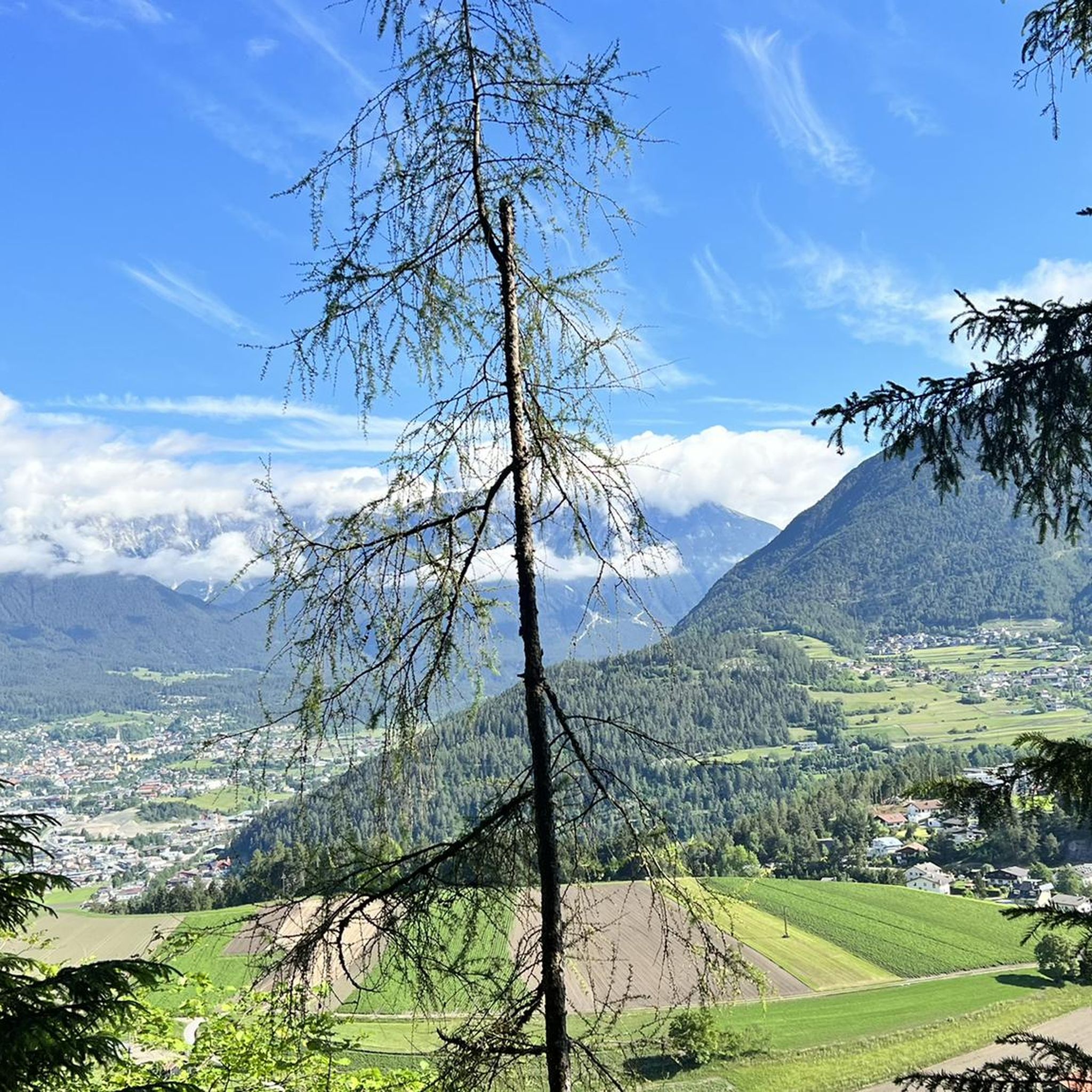
It is very beautiful here.
0
2

Very nice, small, artificially created bathing lake, which invites you to take a cooling bath or at least a foot bath.
1
0
The special thing about the Blue Grotto is the story of its creation: 2000 years ago, in Roman times, people were working diligently here and searching for silver-containing galena. The geologist Peter Gstrein suspects that the fire-setting method was already being used for mining in the first centuries after the birth of Christ; The rock's rock became brittle due to the heating and could therefore be chipped away more easily. This is how the Blue Grotto was created, which is probably unique in Tyrol. The blue grotto is located at the end of the Rosengartenschlucht just before the hiking trail arrives in Hoch-Imst. In the opposite direction from Hoch-Imst, the Blue Grotto can be reached in less than 10 minutes. Imst.at
5
0
Frequently Asked Questions
How many mountaineering routes are available in Arzler Wald?
Arzler Wald offers a diverse range of mountaineering routes, with over 30 tours documented on komoot. These include 5 easy, 6 moderate, and 25 difficult routes, catering to various skill levels.
What are the typical difficulty levels for mountaineering in Arzler Wald?
Mountaineering in Arzler Wald ranges from easy forest paths to challenging alpine ascents. Many routes, especially those reaching higher elevations, are considered difficult due to significant elevation gain and steep terrain. For example, the Tschirgant Summit – Bergwacht Mountain Hut loop from Karrösten involves over 1,300 meters of ascent.
Are there any circular mountaineering routes in Arzler Wald?
Yes, Arzler Wald features several circular mountaineering routes. A popular option is the Hochasteralm – Venetalm loop from Puitalm, which takes you through alpine pastures. Another challenging circular route is the View of Imst – Tschirgant Summit loop from Karrösten, offering extensive views.
What kind of views can I expect on mountaineering routes in Arzler Wald?
Mountaineering in Arzler Wald offers spectacular panoramic views. You can expect impressive vistas of the Pitztal glaciers and the 3,353-meter-high Rofelewand. The area around Arzler Alm also provides stunning views over the Inn Valley. Routes like the View of Tschirgant – Tschirgant Summit loop from Karrösten are specifically known for their scenic outlooks.
Are there any family-friendly mountaineering options in Arzler Wald?
While many mountaineering routes in Arzler Wald are demanding, some areas offer more accessible options. For instance, the Arzler Alm is reachable via a relatively easy forest trail from Hungerburg, and some alms feature playgrounds and petting zoos. For a shorter, less strenuous mountaineering experience, consider the Old Town of Imst – Wetterkreuz Imst Viewpoint loop from Imst.
What are some notable natural features or landmarks to see along the routes?
The region is rich in natural beauty. The Arzler Pitzeklamm (Pitz Gorge) is a designated landscape protection area with unique gorge forests. For those seeking a challenge, the Steinwand via ferrata (Pitztal) offers varying difficulty levels and a great viewing platform. You might also encounter the Parish Church of Arzl im Pitztal near some starting points.
What do other mountaineers say about the routes in Arzler Wald?
The mountaineering routes in Arzler Wald are highly regarded by the komoot community, with an average rating of 4.7 stars from over 60 reviews. Users often praise the diverse landscapes, challenging terrain, and the rewarding panoramic views, especially from summits like Tschirgant.
Are there any alpine huts or places to rest along the mountaineering trails?
Yes, the region features several inviting alpine huts. The Arzler Alm and Tiefentalalm are popular resting points, offering traditional Tyrolean food and hospitality amidst picturesque mountain scenery. These alms provide a welcome break and a chance to refuel during longer tours.
What is the best time of year for mountaineering in Arzler Wald?
The best time for mountaineering in Arzler Wald is generally from late spring to early autumn (May to October), when trails are clear of snow and weather conditions are more stable. During summer, the extensive forested areas provide welcome shade. Always check local weather and trail conditions before heading out, especially for higher alpine routes.
Is public transport available to access mountaineering routes in Arzler Wald?
While specific public transport details for every trailhead vary, the region around Arzler Wald is generally accessible. For instance, the Arzler Alm can be reached from Hungerburg, which is connected to Innsbruck by public transport. It's advisable to check local bus schedules for access to specific starting points for your chosen mountaineering route.
What gear should I bring for mountaineering in Arzler Wald?
For mountaineering in Arzler Wald, especially on difficult routes, it's crucial to be well-prepared. Essential gear includes sturdy, ankle-high hiking boots, weather-appropriate clothing (layers are key), sufficient water and snacks, a map or GPS device, and sun protection. For more challenging routes or via ferratas like the Steinwand via ferrata (Pitztal), specialized climbing gear may be necessary.
Most popular routes in Arzler Wald
Most popular attractions in Arzler Wald

Get inspired with the komoot mobile app


Explore more
Browse the best Mountain Hikes & Routes in other regions.
