The best running trails in Margreider Wald
4.4
(133)
4,093
runners
102
runs
Jogging routes in Margreider Wald traverse a forested region characterized by extensive networks of trails. The area features varying terrain, including significant elevation changes and both paved and unpaved paths. These routes often lead through diverse flora and fauna, providing opportunities for different fitness levels. The landscape primarily consists of woodlands, offering a natural setting for running activities.
Best jogging routes in Margreider Wald
- The most popular jogging route is Wilder Mann Inn – Pfunds Village and Inn River loop…
Last updated: June 24, 2026
23
runners
14.1km
01:29
140m
140m
Moderate run. Good fitness required. Mostly paved surfaces. Suitable for all skill levels.
14
runners
30.1km
04:13
1,400m
1,400m
Hard run. Very good fitness required. Sure-footedness, sturdy shoes and alpine experience required.

Sign up for free
13
runners
12.2km
01:46
580m
580m
Hard run. Very good fitness required. Mostly paved surfaces. Suitable for all skill levels.
7
runners
15.6km
02:38
1,000m
1,000m
Hard run. Very good fitness required. Sure-footedness, sturdy shoes and alpine experience required.
7
runners
16.1km
01:53
290m
290m
Hard run. Very good fitness required. Mostly paved surfaces. Suitable for all skill levels.
Get access to more routes and recommendations from other explorers.
Sign up for free
Already have an account?
Our route recommendations are based on thousands of hikes, rides, and runs completed by other people on komoot.
Start today with a free account
Your next adventure awaits.
Login or Signup
Popular around Margreider Wald
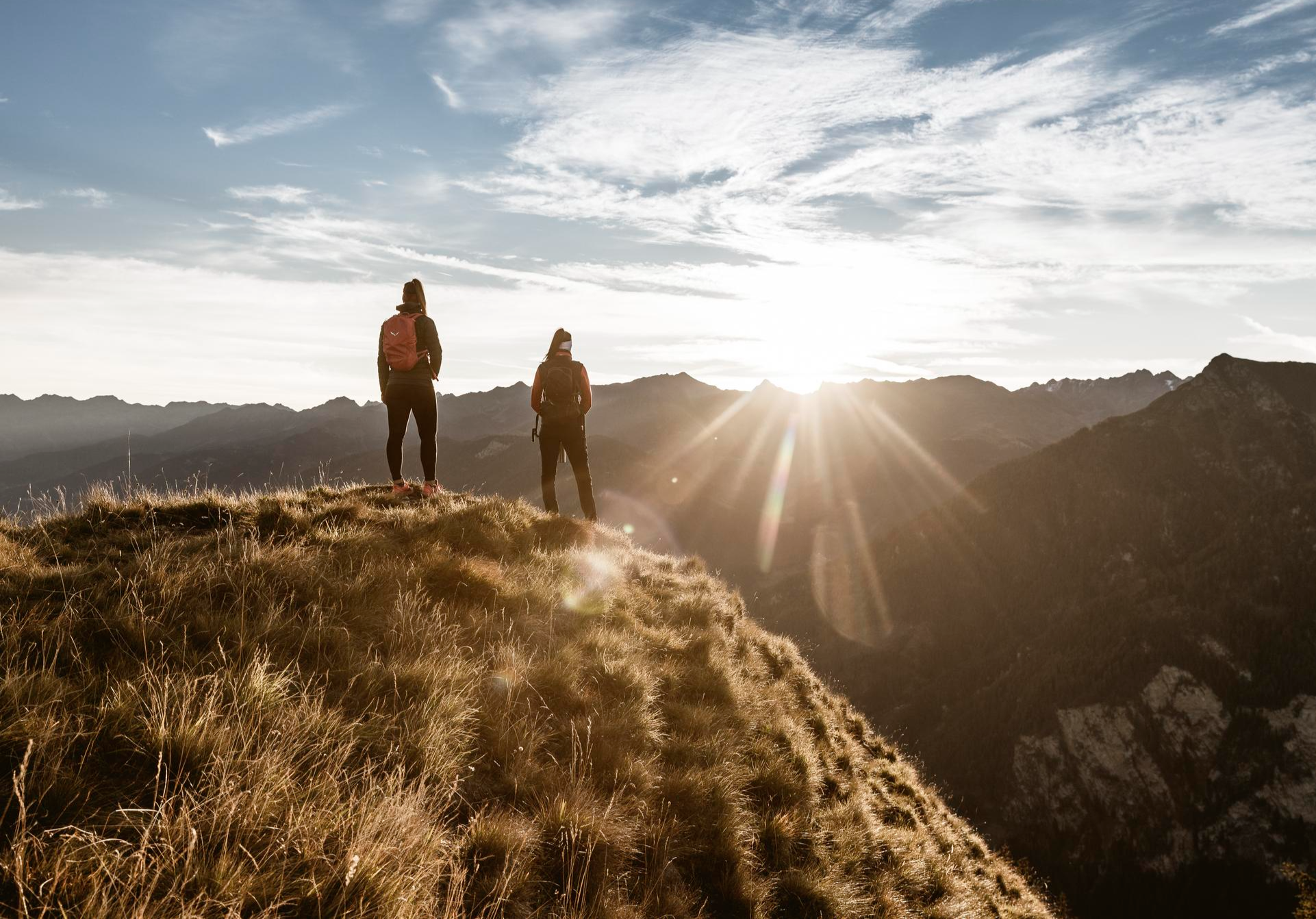
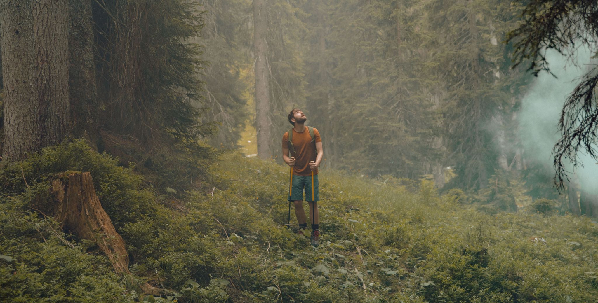
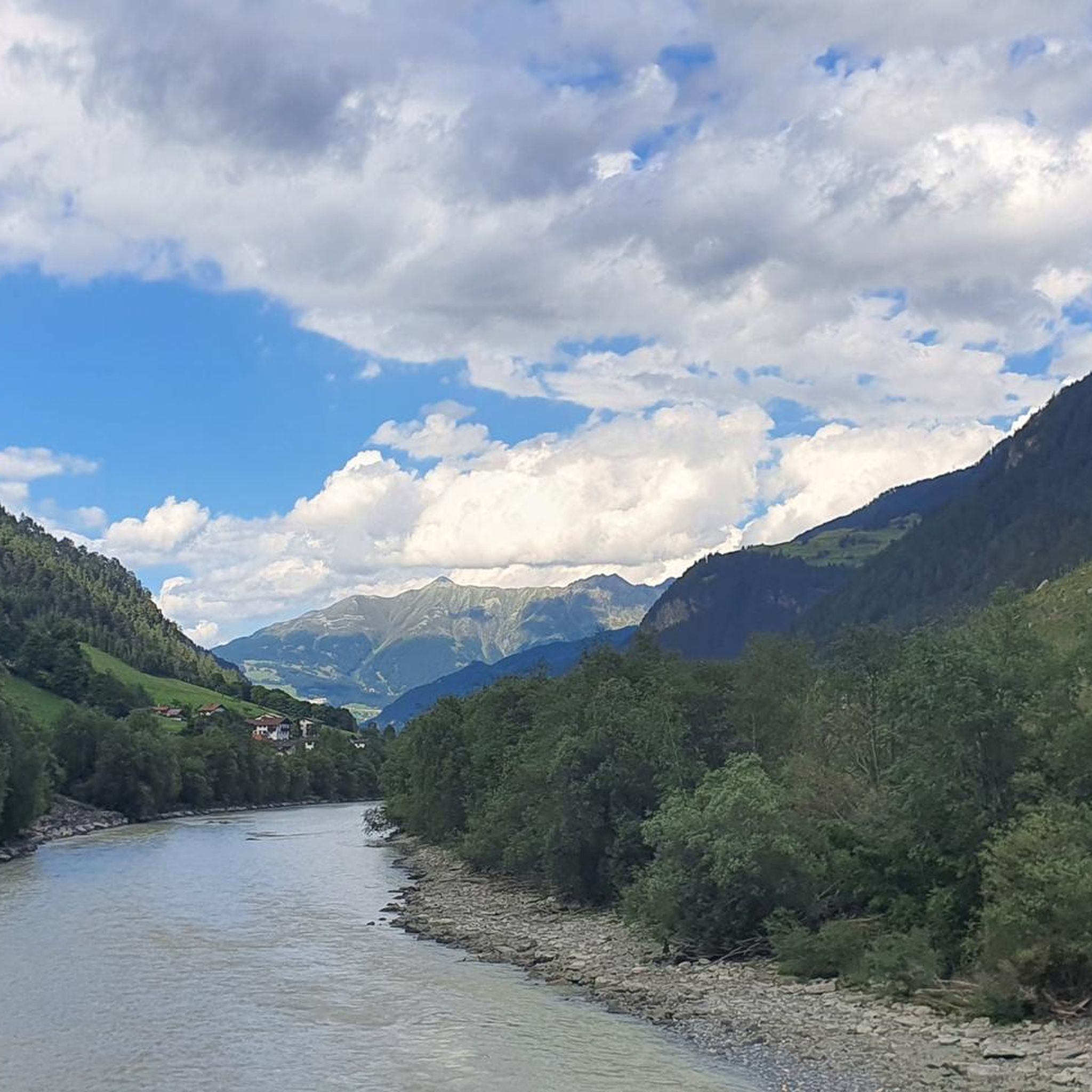
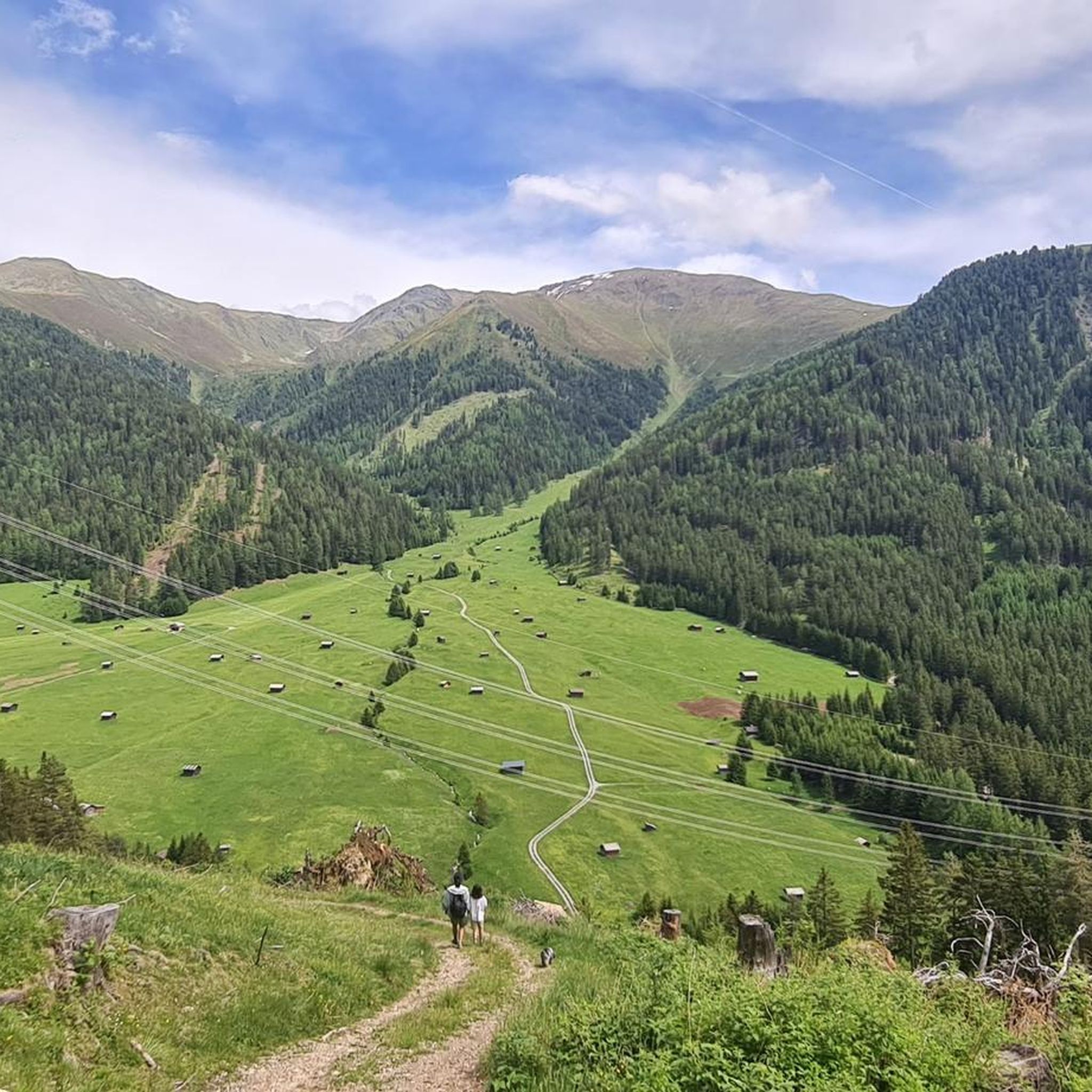
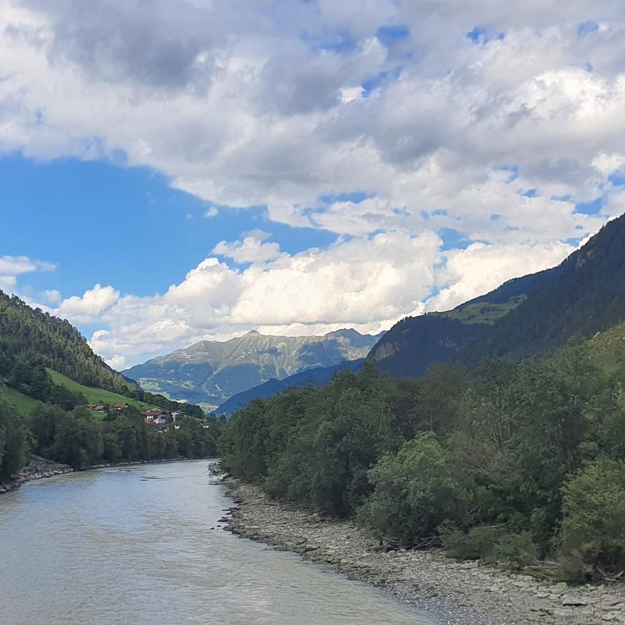
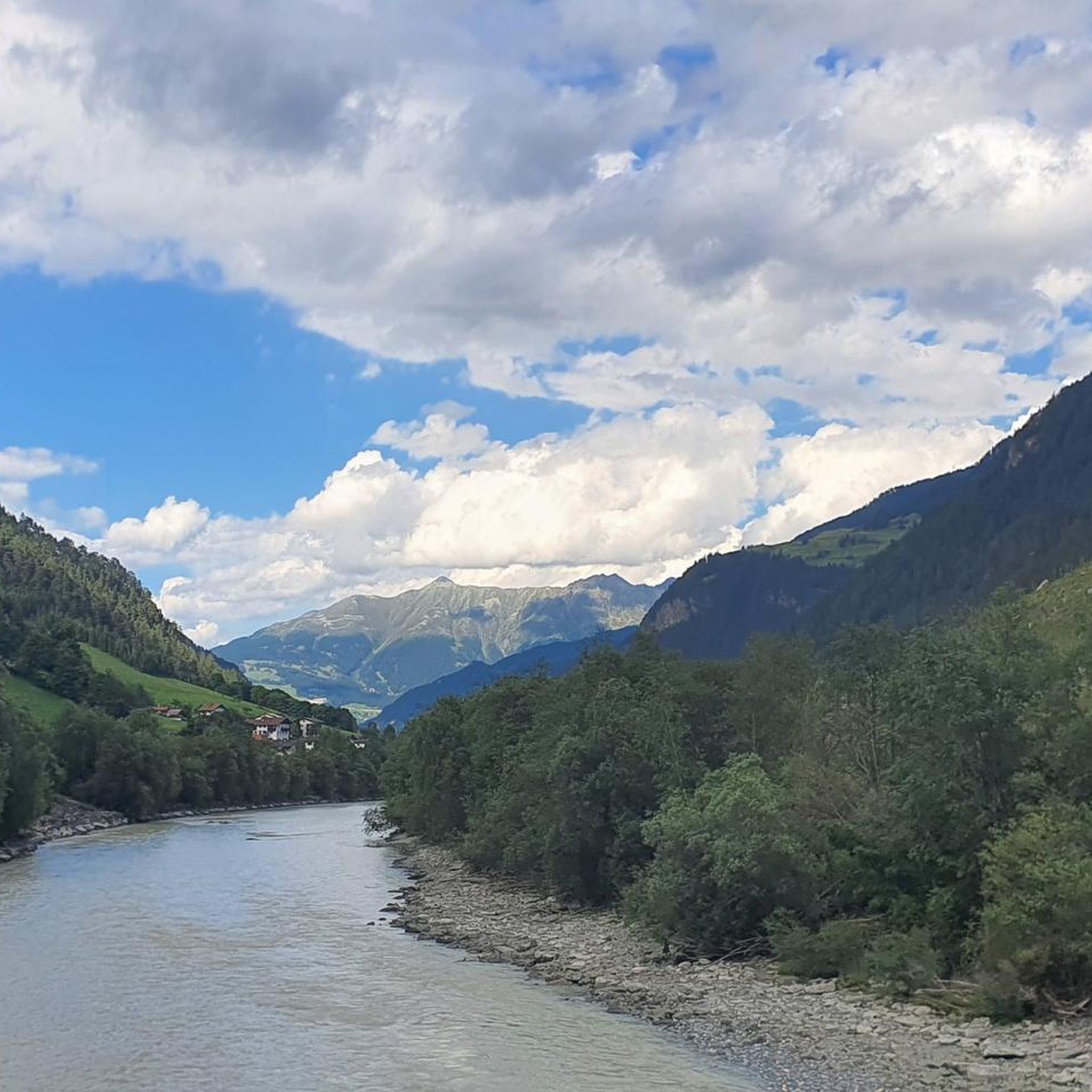
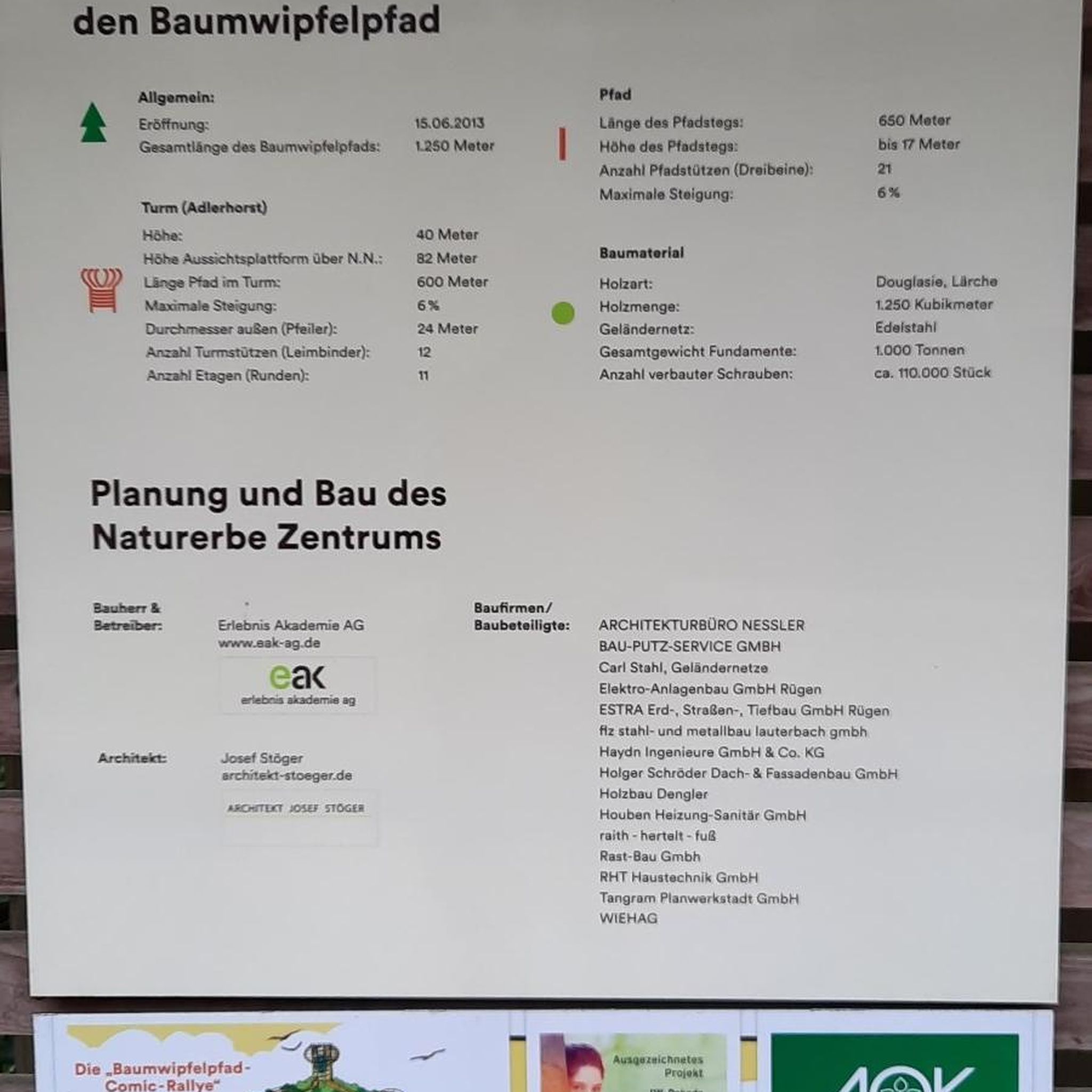



Tips from the Community

The viaduct is really amazing.
0
0

A superb inn run by several generations. Truly classy.
1
0

The Inn is top there...worth it
0
0

Great location and a fantastic hike there
0
0

beautiful old wooden bridge in a beautiful setting
0
1

Halfway from the valley entrance to the end, there's a good place to stop for a rest. You should definitely take a look inside—a beautiful chapel. Behind the chapel is a water source, which is especially welcome in warm weather.
0
0

Magnificent gorge, great gravel
0
0
Frequently Asked Questions
How many running routes are available in Margreider Wald?
Margreider Wald offers a wide selection of jogging routes, with over 100 trails available. These routes cater to various fitness levels, including 11 easy, 42 moderate, and 50 difficult options, ensuring there's a suitable path for every runner.
What kind of terrain and difficulty can I expect on the jogging trails in Margreider Wald?
The jogging trails in Margreider Wald feature varied terrain, ranging from mostly paved paths to unpaved forest trails. You can expect significant elevation changes on many routes, providing options for different fitness levels, from moderate paths to more challenging runs requiring good to very good fitness and sure-footedness.
Are there any circular running routes in Margreider Wald?
Yes, many of the running routes in Margreider Wald are designed as loops, offering convenient starting and ending points. For example, the 4Trails_Stage3_V2 loop from Pfundser Frudiger is a challenging 15.6 km trail, and the Via Claudia near Pfunds – Along the Blue Inn River loop from Pfunds offers a difficult 16.2 km run.
What do other runners enjoy the most about jogging in Margreider Wald?
The running trails in Margreider Wald are highly rated by the komoot community, with an average score of 4.3 stars from over 100 reviews. Runners often praise the extensive forest trails, the varied terrain with elevation changes, and the diverse natural surroundings that provide a refreshing outdoor experience.
Are there any interesting landmarks or natural features to see along the running routes?
Yes, several routes pass by notable natural features. You might encounter the dramatic Radurschl Gorge, explore the scenic Pfundser Tschey Valley, or run alongside the beautiful Along the Blue Inn River. For those seeking panoramic views, some trails lead towards the Frudiger Summit.
Are the jogging routes in Margreider Wald suitable for families?
While many routes feature significant elevation changes and can be challenging, there are also easier paths that might be suitable for families. It's recommended to check the difficulty grade of specific routes. For instance, there are 11 easy routes available, which tend to have less demanding terrain.
Can I bring my dog on the running trails in Margreider Wald?
Margreider Wald, as a forested region, generally welcomes dogs on its trails. However, it's always advisable to keep your dog on a leash, especially in areas with wildlife or near other visitors, and to check for any specific local regulations or protected areas along your chosen route.
Are there any long-distance running trails in the area?
Yes, Margreider Wald offers several longer routes for endurance runners. The Wilder Mann Inn – Pfunds Village and Inn River loop from Stein is a challenging 29.6 km trail, and the Via Claudia near Pfunds – Along the Blue Inn River loop from Pfunds covers 16.2 km, providing excellent options for longer runs.
What is the best time of year to go jogging in Margreider Wald?
As a forested region, Margreider Wald is generally suitable for jogging throughout much of the year. Spring and autumn offer pleasant temperatures and beautiful scenery. Summer can be ideal, especially in the shade of the trees, while winter jogging might be possible on cleared paths, though conditions can vary with snow and ice.
Are there options for beginner runners in Margreider Wald?
Yes, Margreider Wald provides options for beginner runners. There are 11 routes classified as 'easy' which typically feature less demanding terrain and elevation changes, making them suitable for those new to running or looking for a more relaxed pace.
Are there any routes that follow historical paths or significant landmarks?
Yes, some routes incorporate historical elements. For example, the Via Claudia near Pfunds – Along the Blue Inn River loop from Pfunds follows a section of the historic Via Claudia Augusta cycling route, offering a blend of natural beauty and historical context.
What are some challenging running routes in Margreider Wald?
For experienced runners seeking a challenge, Margreider Wald has 50 routes classified as 'difficult'. The Margreider Wald loop from Pfundser Frudiger is a difficult 11.9 km trail with significant elevation, and the 4Trails_Stage3_V2 loop from Pfundser Frudiger is another demanding 15.6 km option.
Most popular routes in Margreider Wald
Most popular attractions in Margreider Wald

Get inspired with the komoot mobile app


Explore more
Browse the best Running Trails & Routes in other regions.
