The best mountain hikes in Gruppo Della Vigolana
4.8
(25)
176
hikers
10
hikes
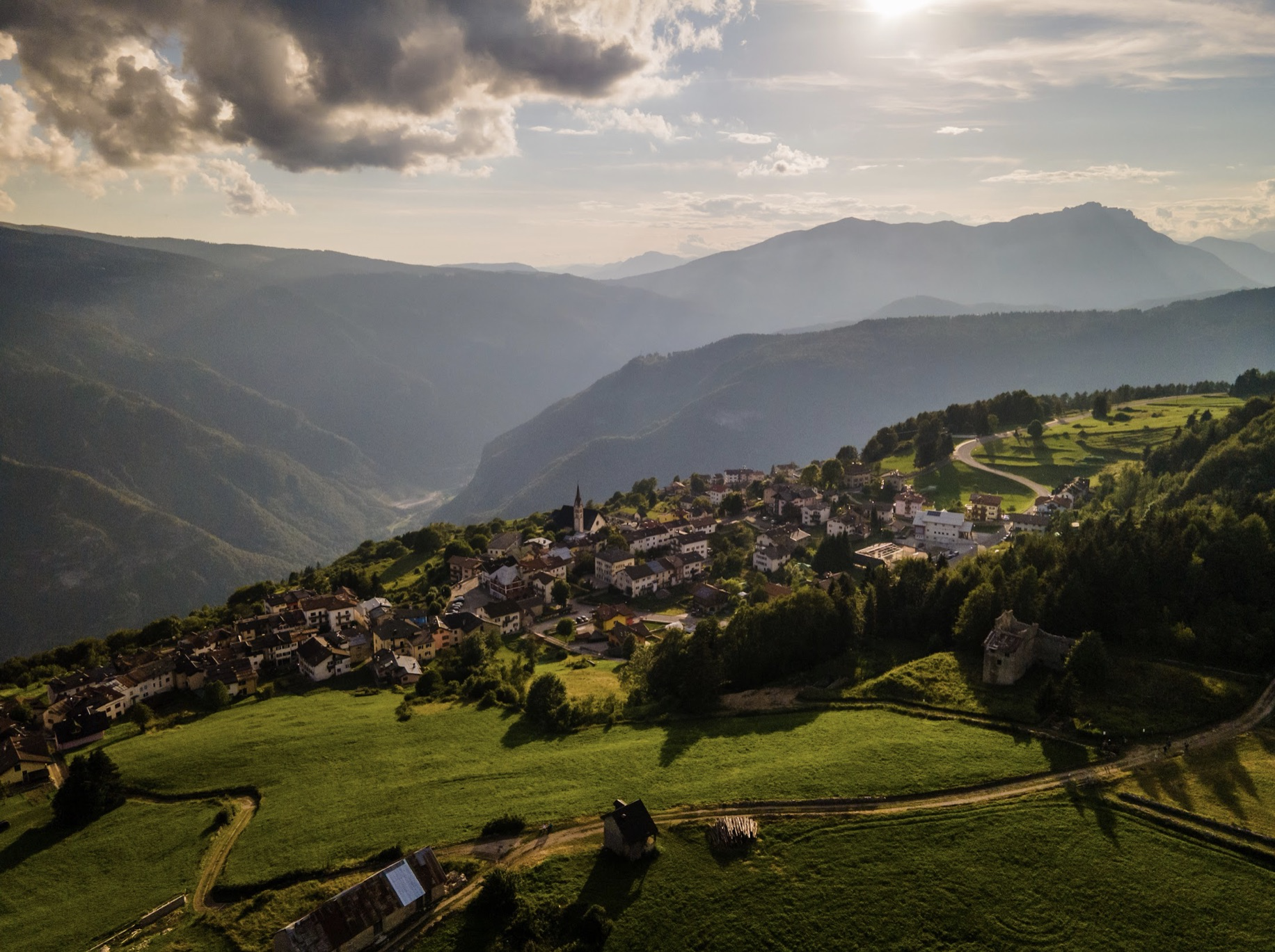
Mountaineering in Gruppo Della Vigolana, located in Italy's Trentino region, offers diverse and well-preserved natural landscapes. The area is characterized by the rugged Vigolana and Marzola mountain massifs, extensive forests of black pines and beeches, and unique karstic areas. From its heights, panoramic views extend across Lake Caldonazzo, Valsugana, and distant Alpine ranges. This terrain provides a challenging environment for mountaineering enthusiasts.
Best mountaineering routes in Gruppo Della Vigolana
- The most popular mountaineering route is Valimpach Via Ferrata – Cliffside…
Last updated: July 6, 2026
4.3
(6)
27
hikers
6.70km
02:34
440m
440m
Moderate mountaineering route. Good fitness required. Easily-accessible paths. Suitable for all skill levels.
4
hikers
8.51km
04:04
690m
690m
Hard mountaineering route. Good fitness required. Sure-footedness, sturdy shoes and alpine experience required.

Sign up for free
5.0
(3)
14
hikers
11.3km
05:58
910m
910m
Hard mountaineering route. Very good fitness required. Sure-footedness, sturdy shoes and alpine experience required.
5.0
(3)
14
hikers
9.36km
04:48
770m
770m
Hard mountaineering route. Good fitness required. Sure-footedness, sturdy shoes and alpine experience required.
7
hikers
15.0km
05:51
940m
940m
Hard mountaineering route. Very good fitness required. Mostly accessible paths. Sure-footedness required.
Get access to more routes and recommendations from other explorers.
Sign up for free
Already have an account?
Our route recommendations are based on thousands of hikes, rides, and runs completed by other people on komoot.
Start today with a free account
Your next adventure awaits.
Login or Signup
Popular around Gruppo Della Vigolana
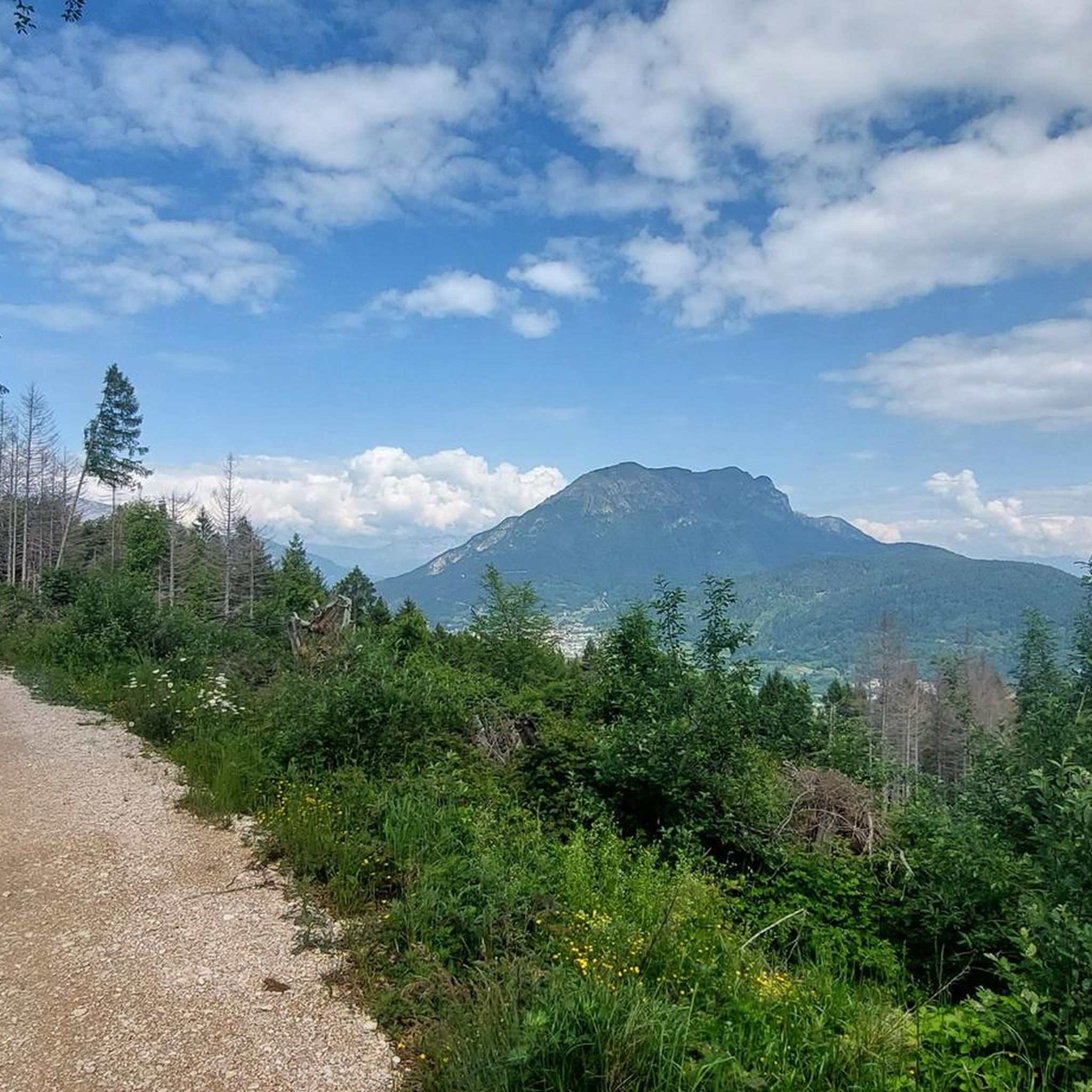

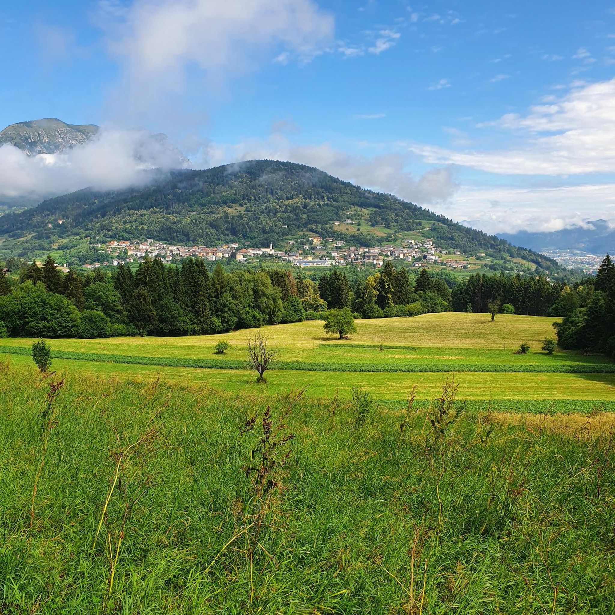
Other adventures in Gruppo Della Vigolana

Tips from the Community

The stairs for MTB transport are not suitable for E-MTBs as they are very steep, partially slippery and the steps are quite high....
0
0

The suggestive and old connecting road to the village of Valle. Recommended for descent
0
0
If it were possible to have the number of people who stopped at this point to admire the fabulous panorama, it would surely be hundreds of thousands.
1
0
The second tunnel you encounter during the ascent
0
0
The Kaiserjegerstrasse tunnels dug by hand to build the military road for supplying the front line of the Great War. At the exit of the first tunnel going uphill, you can see the old road being restored for hiking and MTB.
0
0
The satisfying plateau where you forget the effort of the Kaiserjegerstrasse climb
0
0

From the Virti command post to the 1000-meter altitude line, nicely rideable from here into the gorge, Vall Centa and to the mill at least S5, continuously unrideable. Difficult to walk even without a bike!
0
0

☠️☠️☠️ The trail is in poor condition and largely unrideable. Even pushing it is dangerous; you would have to shoulder and carry the bike. There are (used to be) stairs, but they are now very broken. The descent over 600m of elevation gain in 6km, with gradients of 25-30% at times, is brutal. For inexperienced riders, the trail is (life-)threatening, even on foot.
0
0
Frequently Asked Questions
How many mountaineering routes can I find in Gruppo Della Vigolana?
There are 12 dedicated mountaineering routes in Gruppo Della Vigolana, with 5 rated as moderate and 7 as difficult, offering a range of challenges for different skill levels.
What kind of terrain can I expect on mountaineering routes in Gruppo Della Vigolana?
The terrain in Gruppo Della Vigolana is characterized by rugged Alpine landscapes, extensive forests of black pines, beeches, and larches, and unique karstic areas. You'll encounter varied paths, from forest trails to rocky ascents, often leading to panoramic viewpoints.
Are there any circular mountaineering routes in Gruppo Della Vigolana?
Yes, many routes in Gruppo Della Vigolana are designed as loops. For example, you can explore the Tamazol – Doss Tondo loop from Caldonazzo, which is a difficult route traversing varied terrain, or the Mountaineering loop from Sentiero della Pace, a longer, challenging option.
What are some notable landmarks or viewpoints I can discover along the routes?
Mountaineering in Gruppo Della Vigolana offers breathtaking panoramic views of Lake Caldonazzo, Valsugana, and the Adige Valley. From higher points like the Becco di Filadonna, you can even see distant ranges such as the Brenta Dolomites. You might also encounter important landmarks like the Casarota Mountain Hut, a key resting point for mountaineers.
What is the best time of year for mountaineering in Gruppo Della Vigolana?
The best time for mountaineering in Gruppo Della Vigolana is generally from late spring through early autumn (May to October), when the weather is more stable and trails are clear of snow. During these months, you can fully enjoy the diverse landscapes and panoramic views.
Are there any family-friendly mountaineering options in Gruppo Della Vigolana?
While many mountaineering routes in Gruppo Della Vigolana are rated moderate to difficult, there are options that families with older children and some hiking experience might enjoy. For easier walks, consider exploring the broader Altopiano della Vigolana, which offers more gentle trails.
Can I bring my dog on the mountaineering trails?
Generally, dogs are welcome on trails in Gruppo Della Vigolana, but it's always recommended to keep them on a leash, especially in protected areas or near livestock. Be mindful of the difficulty of the routes, as some challenging sections might not be suitable for all dogs.
What do other mountaineers enjoy most about Gruppo Della Vigolana?
The area is highly rated by the komoot community, with an average score of 4.9 stars. Mountaineers often praise the wild and less-visited nature of the Vigolana massif, the diverse terrain, and the stunning panoramic views that stretch across the Trentino region.
Are there any refuges or huts available for overnight stays or refreshments?
Yes, the region has several important landmarks for mountaineers, including refuges and bivouacs. Casarota Mountain Hut is one such example, offering resting points and potential overnight stays amidst challenging terrain.
Is public transport available to reach the trailheads in Gruppo Della Vigolana?
While some trailheads might be accessible by local bus services, public transport options can be limited in more remote mountain areas. It's advisable to check local bus schedules in advance or consider driving to trailheads, where parking is often available.
Are there any routes that feature unique natural attractions like waterfalls?
Yes, the Centa River, which flows near Gruppo Della Vigolana, features a fluvial park with waterfalls. The spectacular Valimpach waterfall is a notable highlight. The Valimpach Via Ferrata – Cliffside View loop from Centa San Nicolò offers cliffside views and is in the vicinity of this natural feature.
Where can I find more information about the broader Trentino region and Vigolana area?
For additional information about the Vigolana and Marzola area, you can visit the official tourism sites such as visittrentino.info or visitvalsugana.it. These resources provide context on the region's natural beauty and activities.
Most popular routes in Gruppo Della Vigolana
Most popular attractions in Gruppo Della Vigolana

Get inspired with the komoot mobile app


Explore more
Browse the best Mountain Hikes & Routes in other regions.
