The best road cycling routes in Huberwald
5.0
(2)
101
riders
7
rides
Road cycling routes in Huberwald traverse a landscape characterized by dense forests and river valleys, primarily along the Enns River. The region features rolling terrain with moderate elevation changes, offering varied conditions for road cyclists. While there are no high peaks, the area includes numerous hills and open stretches suitable for cycling.
Best road cycling routes in Huberwald
- The most popular road cycling route is Grimmingtor Viewpoint Bench loop from Donnersbachwald, a 36.8 miles (59.3 km) trail that takes…
Last updated: July 9, 2026
23
riders
54.6km
02:31
520m
520m
Moderate road ride. Good fitness required. Mostly well-paved surfaces and easy to ride.
16
riders
59.4km
03:08
830m
830m
Moderate road ride. Good fitness required. Mostly well-paved surfaces and easy to ride.

Sign up for free
7
riders
Moderate road ride. Good fitness required. Some segments of this route may be unpaved and difficult to ride.
5.0
(1)
18
riders
23.8km
01:04
160m
160m
Easy road ride. Great for any fitness level. Mostly well-paved surfaces and easy to ride.
8
riders
Easy road ride. Great for any fitness level. Mostly well-paved surfaces and easy to ride.
Get access to more routes and recommendations from other explorers.
Sign up for free
Already have an account?
Our route recommendations are based on thousands of hikes, rides, and runs completed by other people on komoot.
Start today with a free account
Your next adventure awaits.
Login or Signup

Tips from the Community


Stoderzinken with a visit to the Kicherl is a must in Gröbming
0
0

There are several places to buy coffee and there is also a sports shop in the town centre if you need any equipment
0
0

beautiful, quiet town with style and good gastronomy
0
0

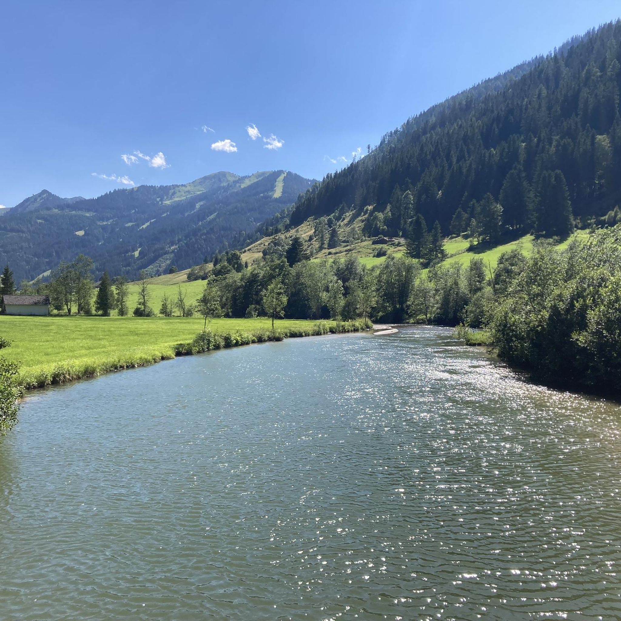
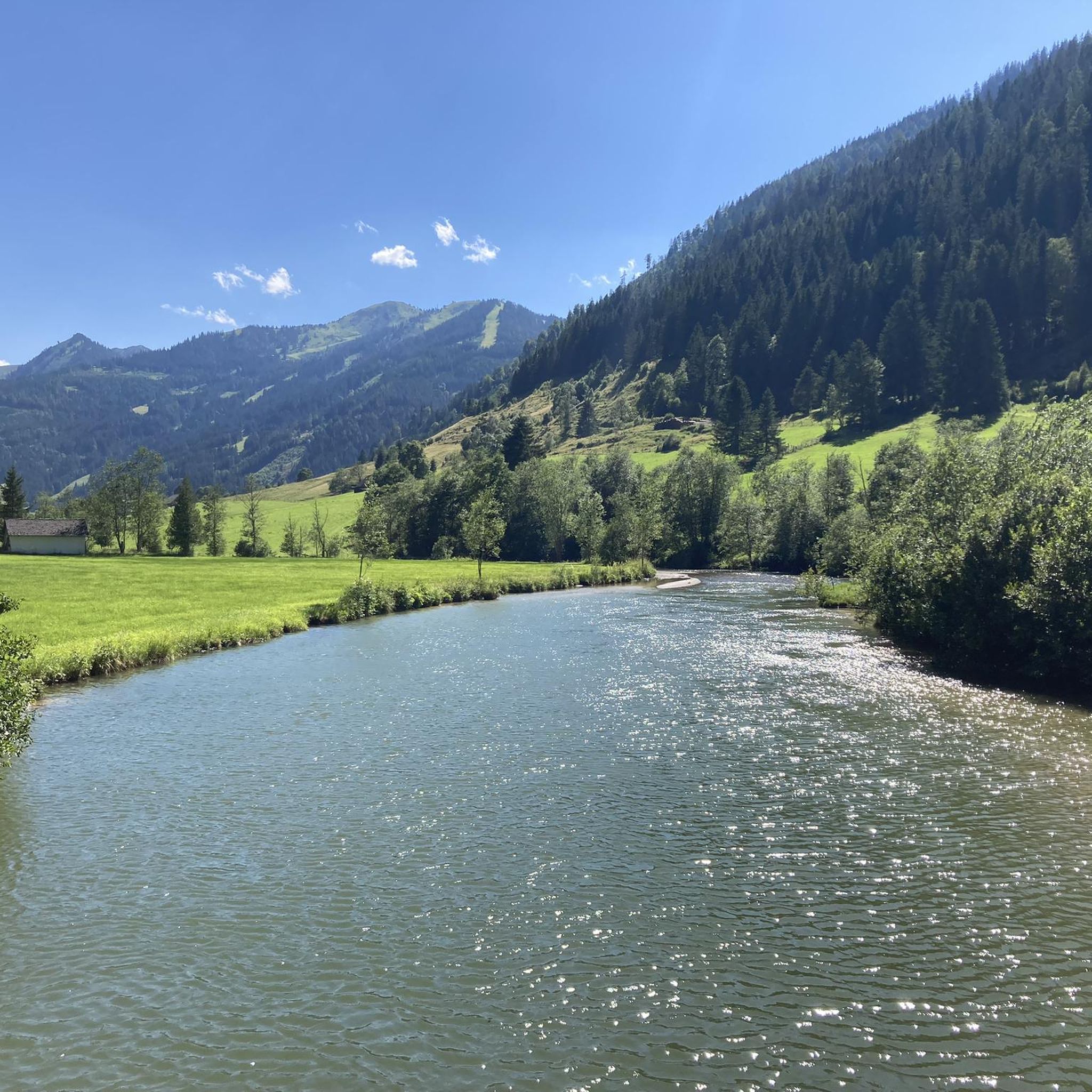
Beautiful gravel path that leads directly along the Enns. There are always idyllic spots on the banks of the river to take a break.
0
0


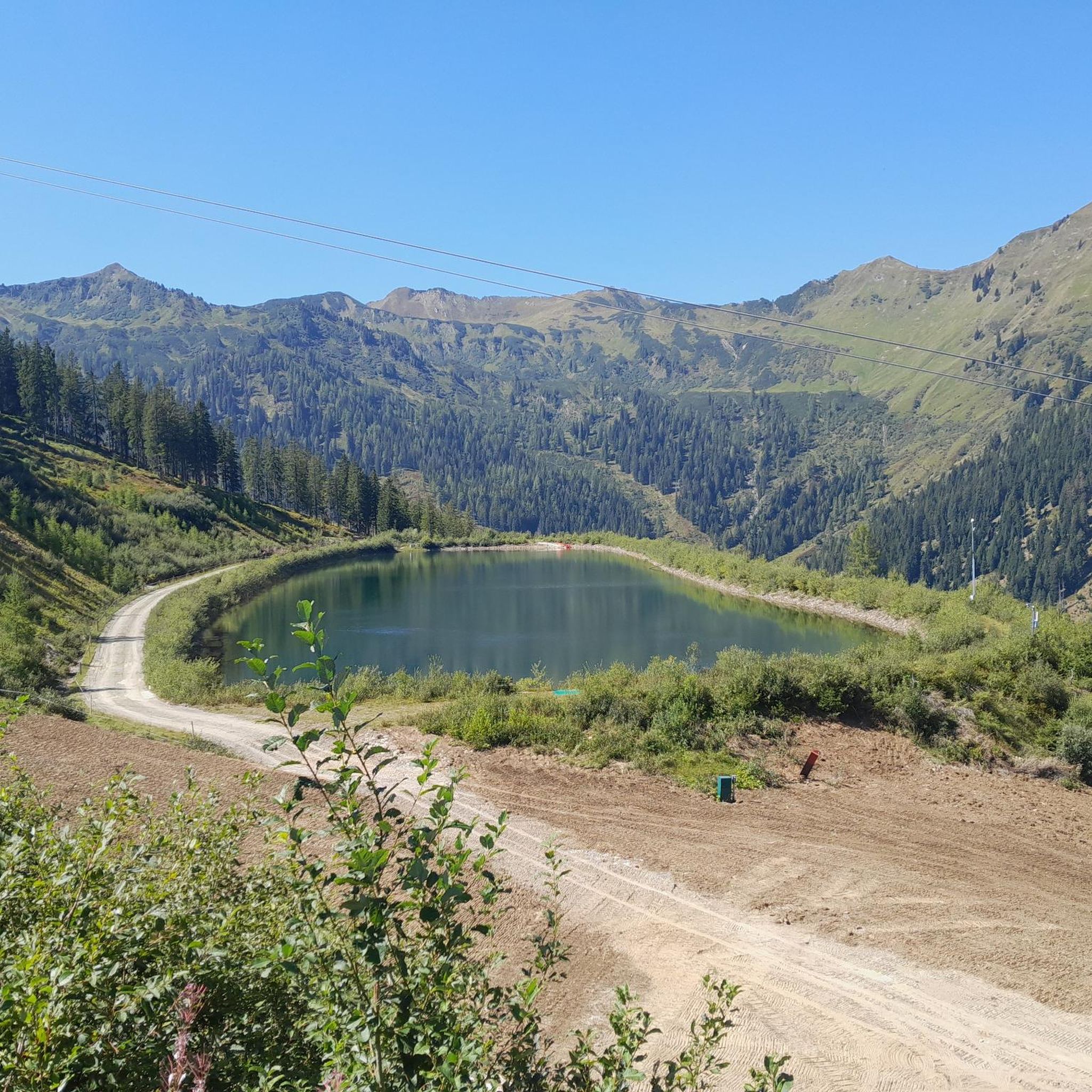
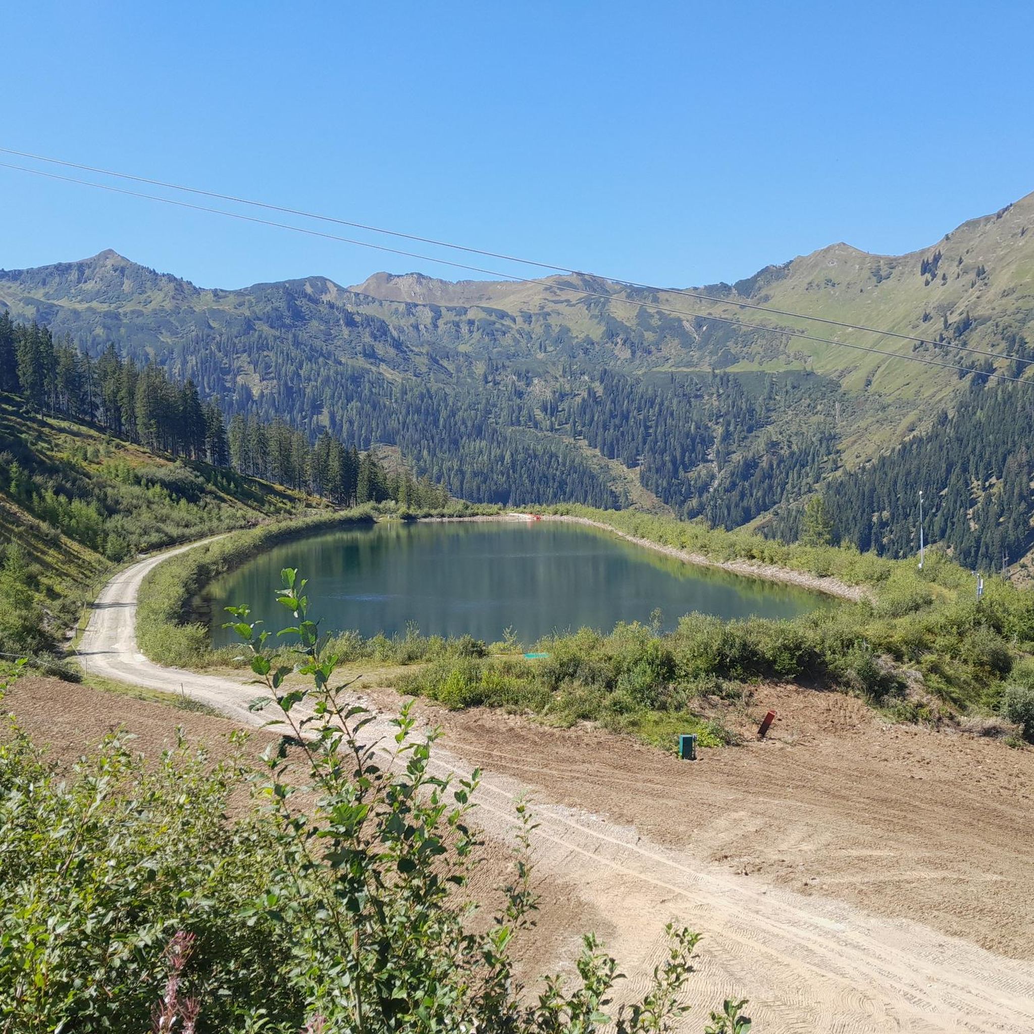
Very nicely located. Ideal for a short break!
1
0

Great free charging station for e-bikes
0
0
Frequently Asked Questions
What kind of terrain can I expect on road cycling routes in Huberwald?
Huberwald's road cycling routes primarily traverse dense forests and river valleys, particularly along the Enns River. You'll encounter rolling terrain with moderate elevation changes, featuring numerous hills and open stretches suitable for road cycling.
How many road cycling routes are available in Huberwald?
There are 8 distinct road cycling routes documented in Huberwald, offering a variety of experiences for different skill levels.
Are there beginner-friendly road cycling routes in Huberwald?
Yes, Huberwald offers several easy routes perfect for beginners. For example, the Along the Enns River loop from Donnersbach Rüschersiedlung is an easy 23.8 km ride with minimal elevation gain, ideal for a relaxed outing. Another great option is the Parish church in Irdning – Along the Enns River loop from Raumberg, which is 27.1 km and also rated easy.
What are some more challenging road cycling routes for experienced riders?
For those seeking a moderate challenge, Huberwald has several routes with more significant elevation. Consider the Grimmingtor Viewpoint Bench loop from Donnersbachwald, a 59.3 km route with over 800 meters of ascent, or the Poschenhof – Trautenfels Castle loop from Donnersbachwald, which covers 54.5 km with over 500 meters of climbing.
Are there any scenic viewpoints or landmarks along the road cycling routes?
Many routes offer scenic views of the surrounding landscape and river valleys. The Grimmingtor Viewpoint Bench loop from Donnersbachwald provides excellent vistas. Additionally, the Poschenhof – Trautenfels Castle loop from Donnersbachwald passes directly by the historic Trautenfels Castle, offering a cultural highlight during your ride.
Are there loop routes available for road cycling in Huberwald?
Yes, all the road cycling routes listed for Huberwald are designed as convenient loop routes, allowing you to start and finish at the same point without needing to retrace your path.
What is the best time of year for road biking in Huberwald?
The best time for road biking in Huberwald is generally from late spring through early autumn (May to October). During these months, the weather is typically mild, and the roads are clear, making for pleasant riding conditions through the forests and along the river valleys.
What do other road cyclists enjoy most about road cycling in Huberwald?
The komoot community highly rates the road cycling in Huberwald, with an average score of 5.0 stars. Riders often praise the varied terrain, which includes both gentle river valley sections and more challenging hills, as well as the scenic beauty of the dense forests and open stretches.
Are there any cafes or places to stop for refreshments near the cycling paths?
While specific cafes are not listed directly on the routes, the routes often pass through or near towns like Donnersbachwald, Gröbming, and Irdning. These towns typically offer local eateries and cafes where you can stop for refreshments and a break.
Is public transport available to access the Huberwald bike trails?
Huberwald is a region with various starting points for its routes. While specific public transport connections to every trailhead are not detailed, major towns in the area, such as Donnersbachwald and Gröbming, are generally accessible by regional bus services, which can help you reach a starting point for your ride.
Most popular routes in Huberwald

Get inspired with the komoot mobile app


Explore more
Browse the best Road cycling routes in other regions.
