The best road cycling routes in Krunglwald
4.5
(58)
1,968
riders
25
rides
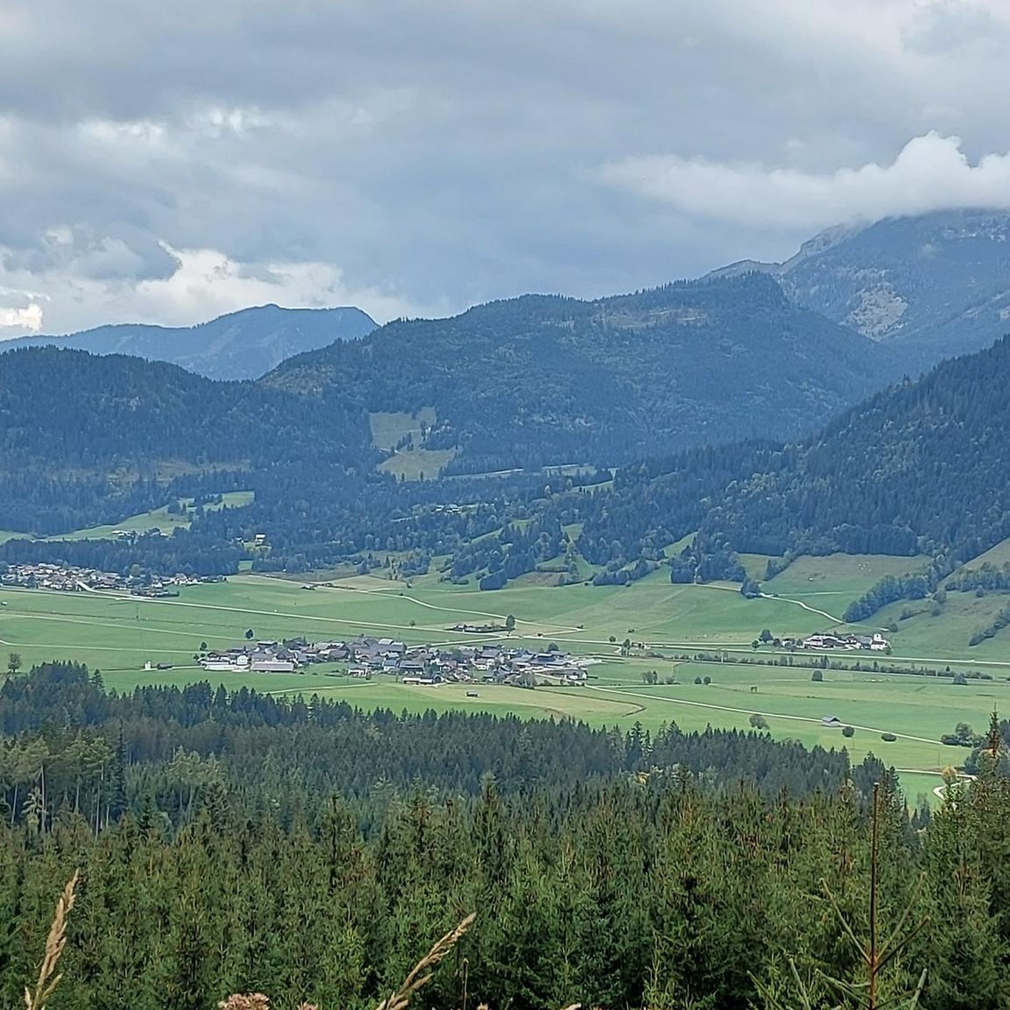
Road cycling in Krunglwald offers routes through a forested region situated near Liezen, characterized by its varied topography. The area features a mix of dense woodlands, river valleys, and rolling hills, providing diverse terrain for road cyclists. Routes often include ascents and descents, with some paths following the Enns River. This landscape provides a setting for both challenging climbs and more moderate rides.
Best road cycling routes in Krunglwald
- The most popular road cycling route is Kulm Ski Flying Hill…
Last updated: October 21, 2026
5.0
(3)
135
riders
35.1km
02:16
950m
950m
Hard road ride. Very good fitness required. Some segments of this route may be unpaved and difficult to ride.
7
riders
Moderate road ride. Great for any fitness level. Some segments of this route may be unpaved and difficult to ride.

4.7
(3)
97
riders
68.0km
03:05
540m
540m
Moderate road ride. Good fitness required. Mostly well-paved surfaces and easy to ride.
1.7
(3)
54
riders
42.6km
02:29
600m
600m
Moderate road ride. Good fitness required. Some segments of this route may be unpaved and difficult to ride.
21
riders
44.4km
02:10
440m
440m
Moderate road ride. Good fitness required. Some segments of this route may be unpaved and difficult to ride.
Get access to more routes and recommendations from other explorers.
Already have an account?
Our route recommendations are based on thousands of hikes, rides, and runs completed by other people on komoot.
Start today with a free account
Your next adventure awaits.
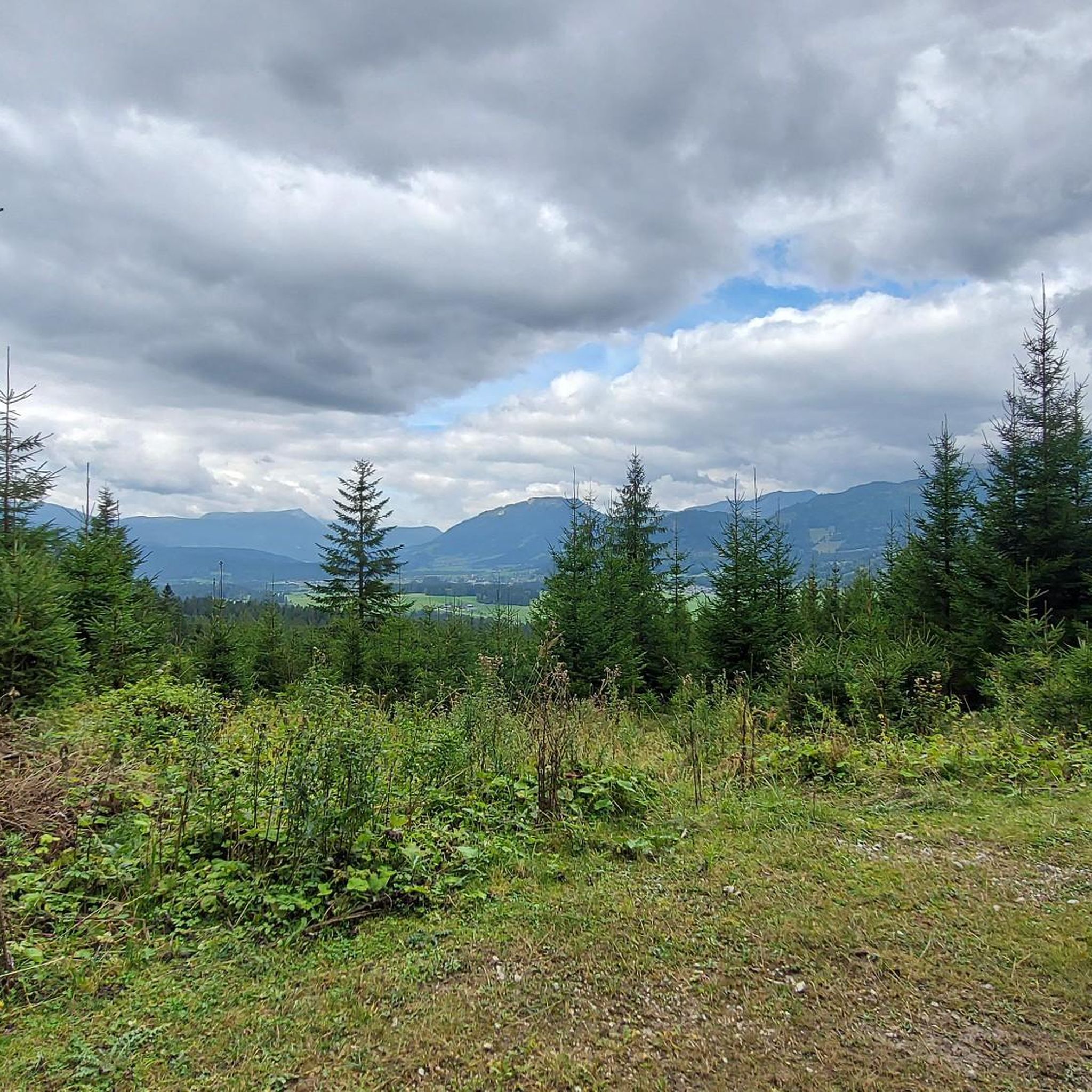
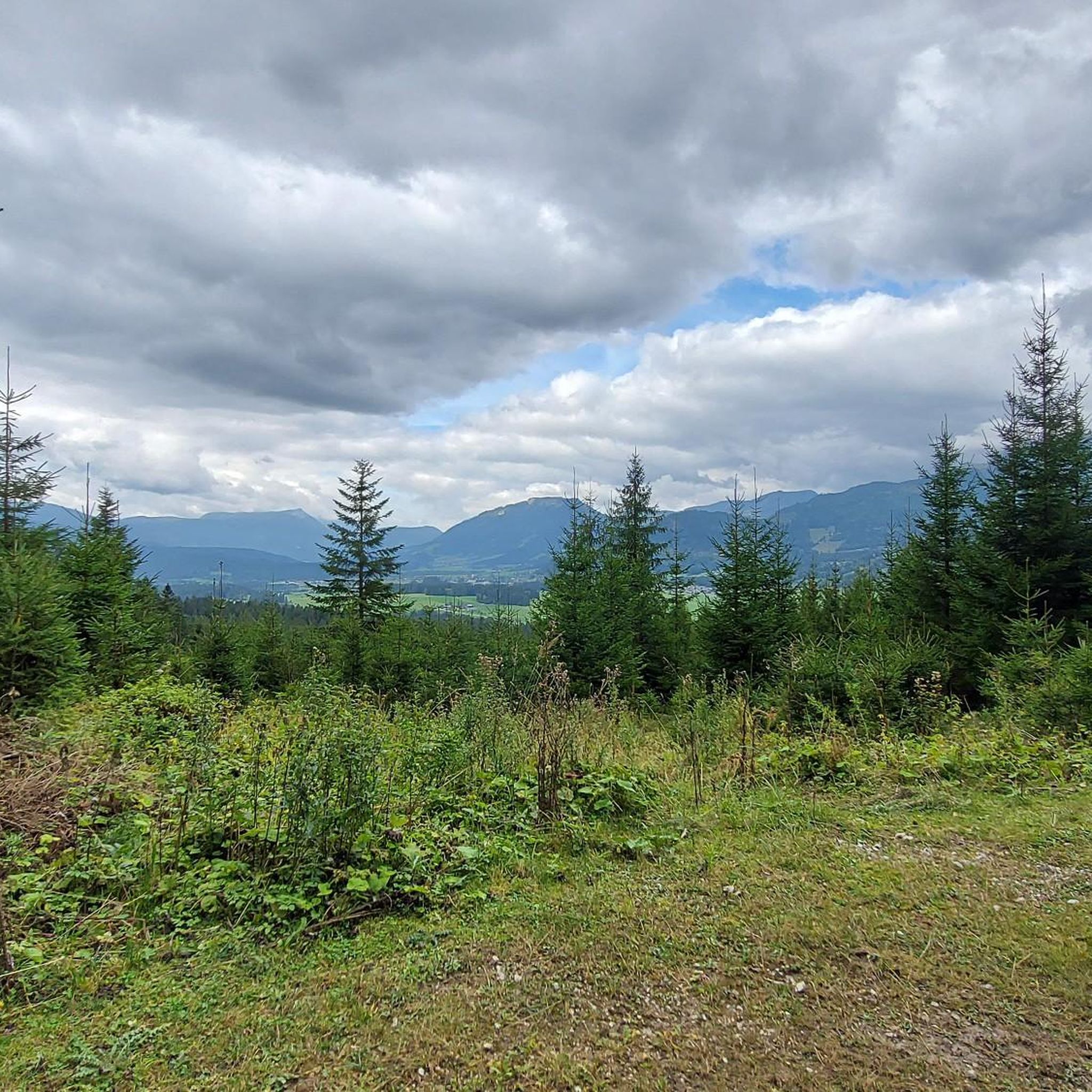
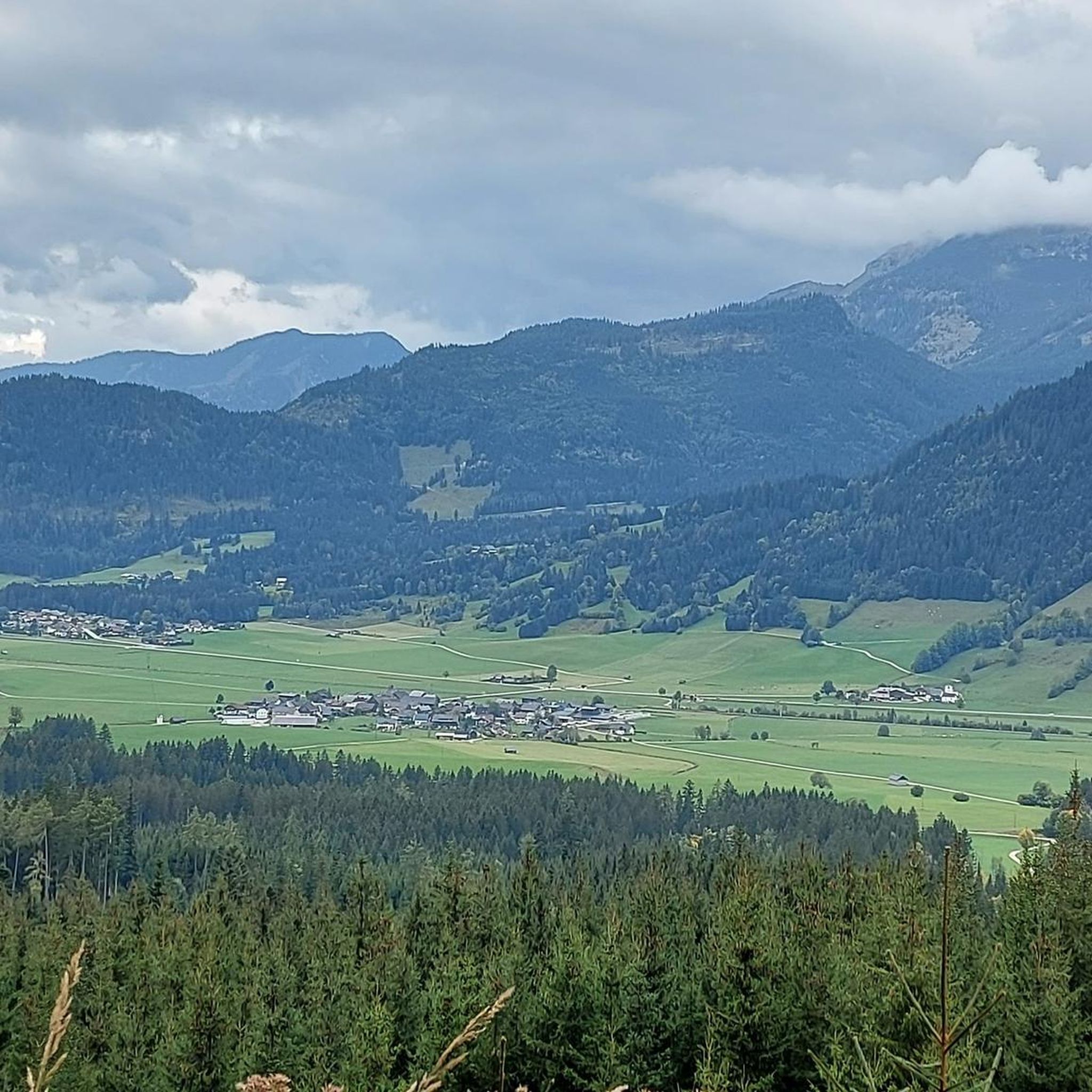
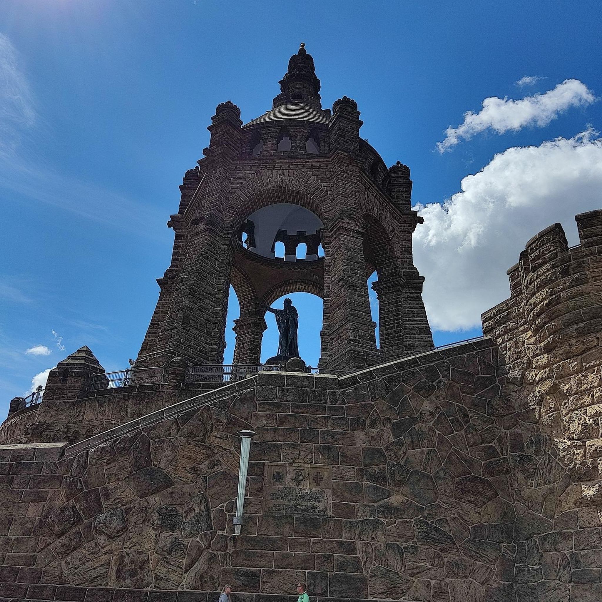
Tips from the Community

To drive underneath you need 🥚🥚
0
0

Ready for this scenic, yet strenuous climb? 9.9 kilometers, over 800 meters of elevation gain, and an average gradient of 8.1 percent. The toll road winds its way through the forest in beautiful switchbacks – a stunning panorama awaits at the top. Start early, bring water – there are no supplies along the way!
1
0

There is a small tent with food at the camping area, and there is also a small pump track for children
0
0


Someone should make a cycling highlight of this jump. There are only three of them.
0
0

Partly obligatory (because of driving ban) alternative to the B145. Not a bad thing, because it's the nicer choice anyway.
1
0
Frequently Asked Questions
What kind of terrain can I expect on road cycling routes in Krunglwald?
Krunglwald offers a varied topography with dense woodlands, river valleys, and rolling hills. You'll encounter a mix of ascents and descents, with some routes following the Enns River, providing options for both challenging climbs and more moderate rides.
How many road cycling routes are available in Krunglwald?
There are over 25 road cycling routes in Krunglwald, with 4 easy, 15 moderate, and 9 difficult options, catering to various skill levels.
Are there any beginner-friendly road cycling routes in Krunglwald?
Yes, Krunglwald offers several routes suitable for beginners. These typically feature less elevation gain and shorter distances. For example, routes that follow the Enns River valley tend to be more moderate.
Which routes offer a significant challenge for advanced road cyclists?
For advanced road cyclists seeking a challenge, routes with substantial elevation gain are available. The Kulm Ski Flying Hill – Kulm Ski Flying Hill loop from Skiflugschanze Kulm is a difficult 23.0-mile (37.1 km) trail featuring significant elevation around the prominent Ski Flying Hill.
Are there any circular road cycling routes in Krunglwald?
Many of the road cycling routes in Krunglwald are designed as loops, allowing you to start and finish at the same point. Examples include the Old Federal Road at Grimming – Trautenfels Castle loop from Skiflugschanze Kulm and the View of Kulmkogel – Along the Enns River loop from Tauplitz.
What is the best season for road biking in Krunglwald?
The best season for road biking in Krunglwald is typically from spring through autumn, when the weather is mild and the roads are clear. The varied topography and dense woodlands offer pleasant riding conditions during these months.
Are there any road cycling routes that offer scenic viewpoints?
Yes, several routes provide scenic viewpoints, often overlooking the Enns River valley or offering glimpses of the surrounding mountains and forests. The View of Kulmkogel – Kulm Ski Flying Hill loop from Bad Mitterndorf is one such route that includes views of Kulmkogel.
What do other road cyclists enjoy most about road cycling in Krunglwald?
The area is highly rated by the komoot community, with an average score of 4.6 stars from over 40 reviews. Reviewers often praise the diverse terrain, from challenging climbs to scenic river valleys, and the overall quality of the routes.
Are there any routes that follow the Enns River?
Yes, several routes incorporate sections along the Enns River, offering flatter terrain and picturesque views. The View of Kulmkogel – Along the Enns River loop from Tauplitz is a longer trail that leads through the Enns River valley.
How long does it typically take to complete a road cycling route in Krunglwald?
Route durations vary significantly based on distance and elevation. For instance, the moderate Old Federal Road at Grimming – Trautenfels Castle loop from Skiflugschanze Kulm takes about 1 hour 3 minutes, while the longer View of Kulmkogel – Along the Enns River loop from Bad Mitterndorf can take around 3 hours 54 minutes.
Are there any specific landmarks or points of interest along the road cycling routes?
Yes, some routes pass by notable landmarks. For example, the Old Federal Road at Grimming – Trautenfels Castle loop from Skiflugschanze Kulm offers views of Trautenfels Castle and follows sections of the historic Old Federal Road.
Most popular routes in Krunglwald

Get inspired with the komoot mobile app


Explore more
Browse the best Road cycling routes in other regions.
