The best cycling routes in Hirschriedel
4.6
(968)
7,201
riders
69
rides
Touring cycling routes in Hirschriedel offer a variety of paths for different skill levels. The region's specific geographical and terrain features are not widely documented. However, the available routes suggest diverse environments suitable for cycling.
Best touring cycling routes in Hirschriedel
- The most popular touring cycling route is Enns River Crossing – Alte Dollacher Straße loop from Weißenbach bei Liezen, a 13.5 miles (21.7 km) trail that takes 1 hour 19 minutes to complete. This route features a moderate…
Last updated: October 5, 2026
4.2
(19)
111
riders
Moderate bike ride. Good fitness required. Mostly paved surfaces. Suitable for all skill levels.
4.6
(5)
76
riders
Easy bike ride. Great for any fitness level. Mostly paved surfaces. Suitable for all skill levels.

4.7
(6)
75
riders
21.1km
01:20
130m
130m
Easy bike ride. Great for any fitness level. Mostly paved surfaces. Suitable for all skill levels.
5.0
(1)
20
riders
29.1km
02:05
620m
630m
Hard bike ride. Very good fitness required. Mostly paved surfaces. Suitable for all skill levels.
4.5
(2)
20
riders
Hard bike ride. Good fitness required. You may need to push your bike for some segments of this route.
Get access to more routes and recommendations from other explorers.
Already have an account?
Our route recommendations are based on thousands of hikes, rides, and runs completed by other people on komoot.
Start today with a free account
Your next adventure awaits.
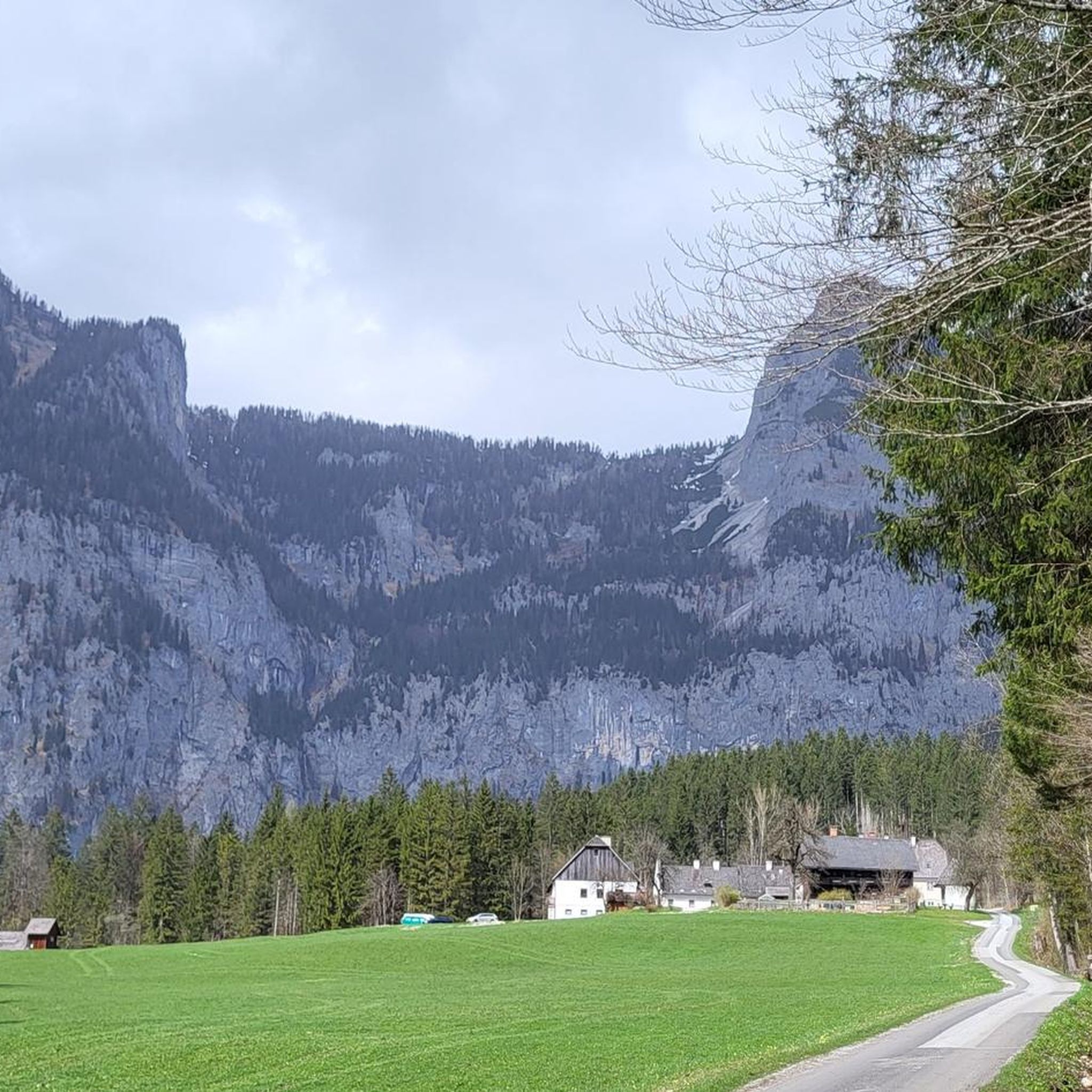
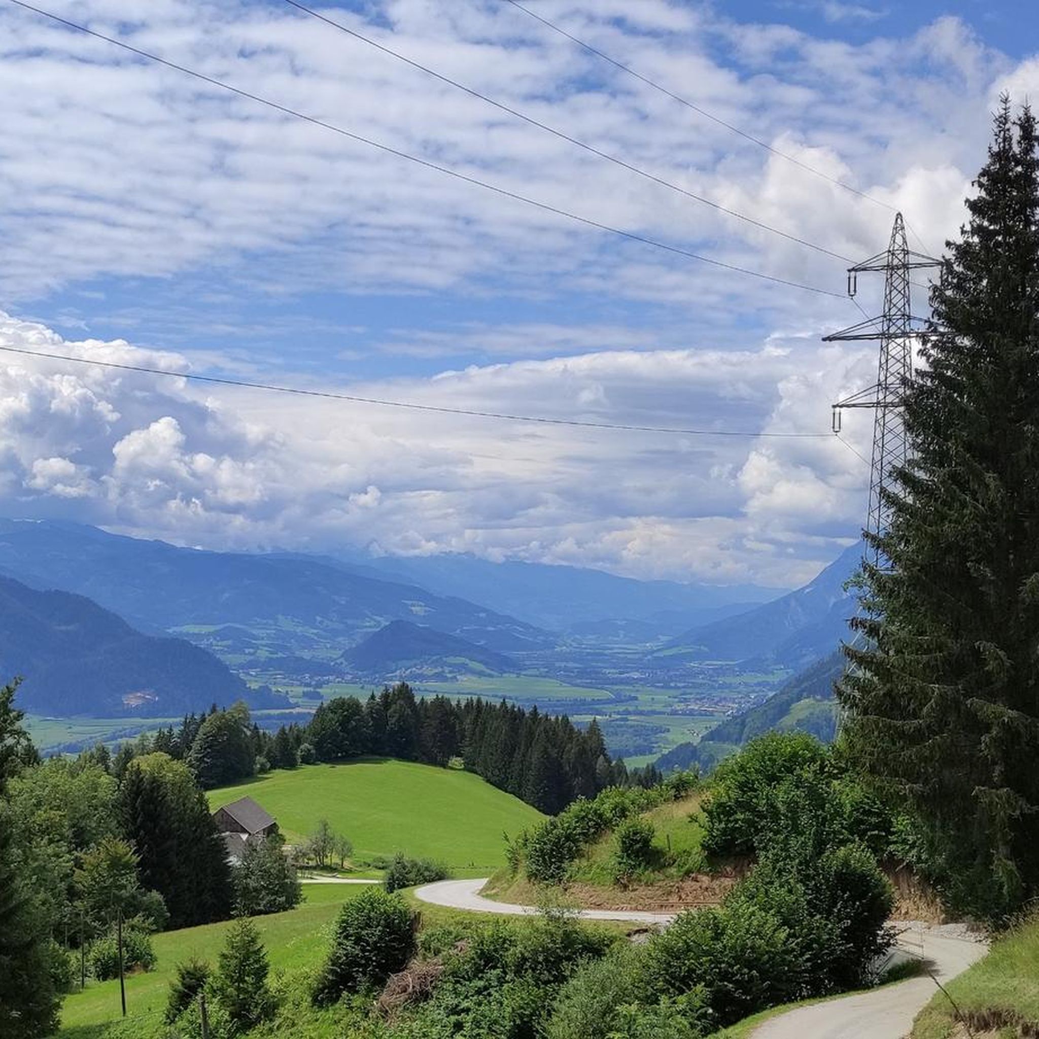
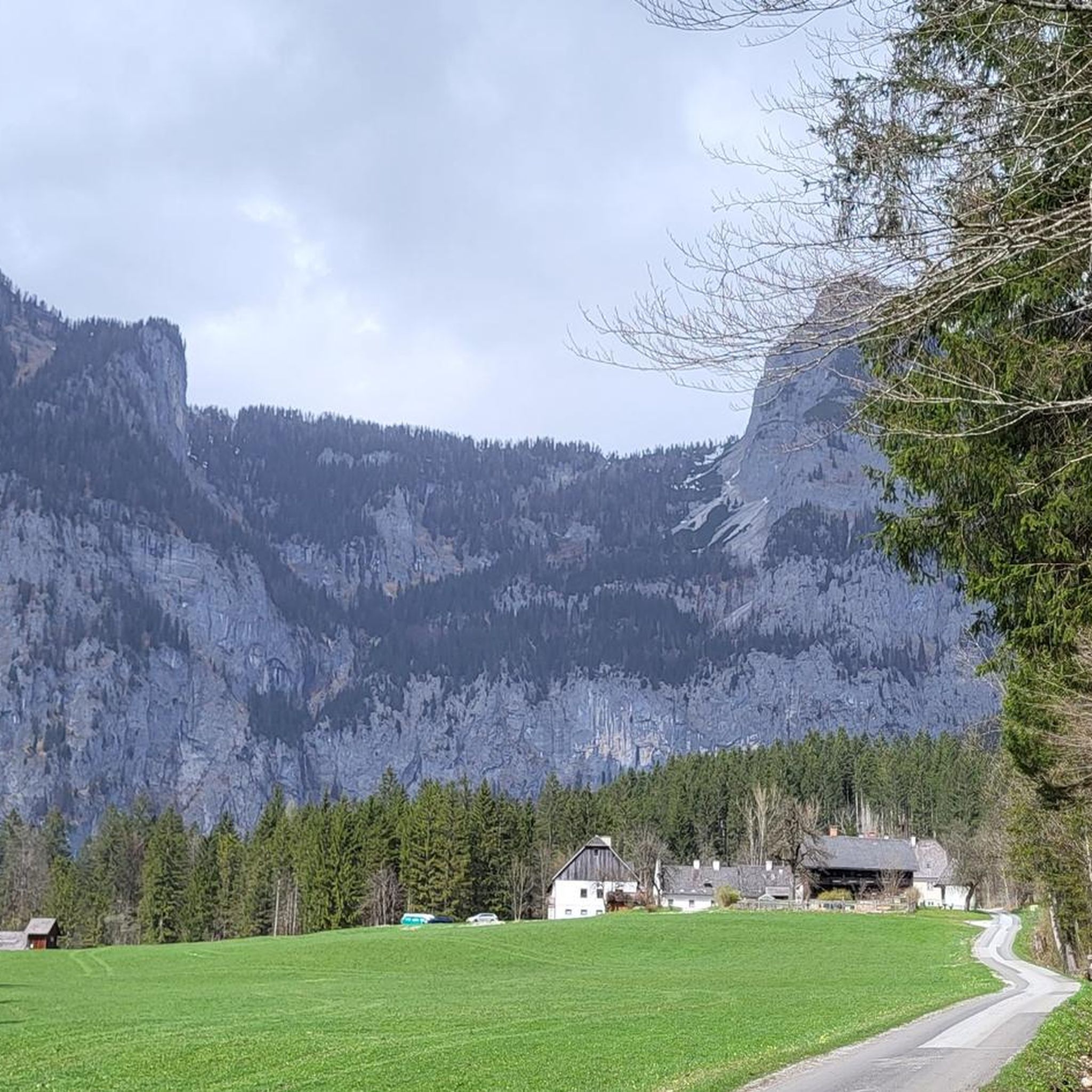

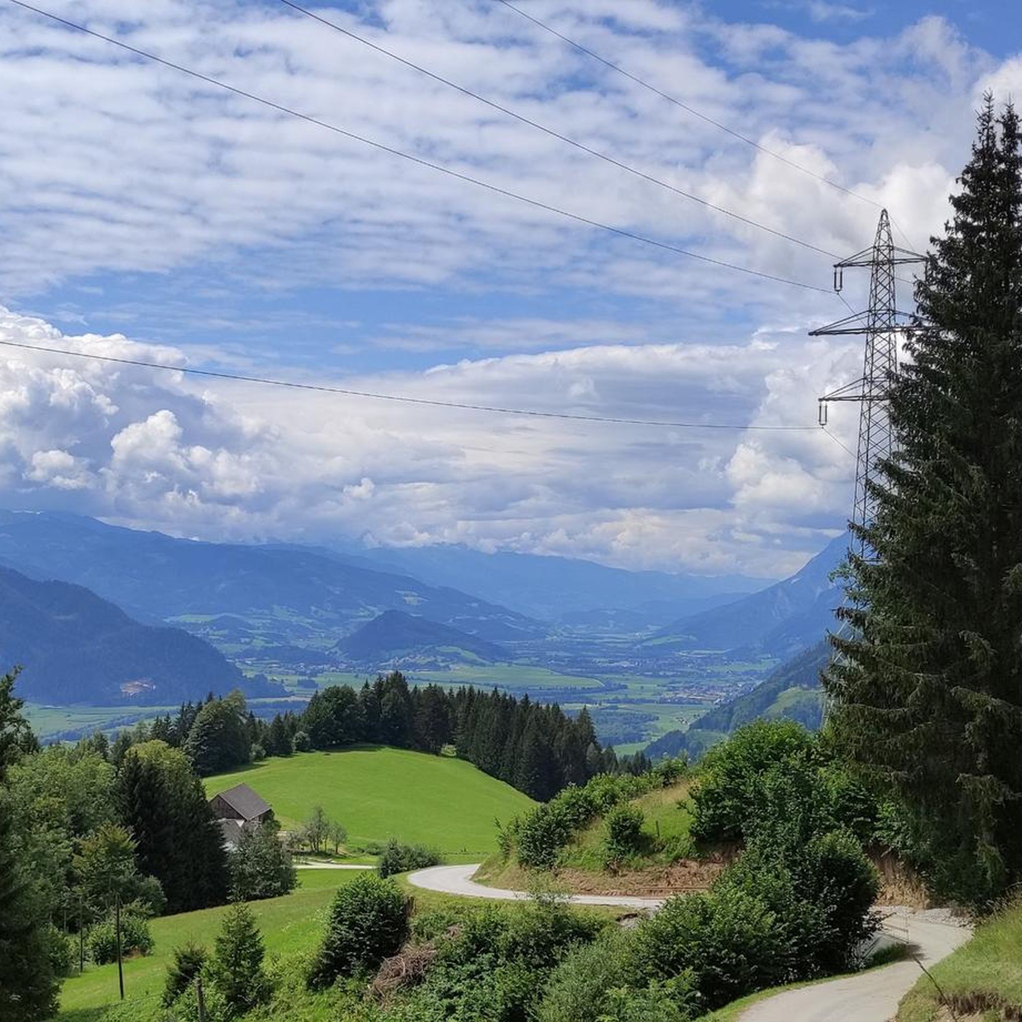
Tips from the Community

Above all, reaching the top of the pass is a real highlight
1
0

The Pyhrn Pass is an impressive mountain pass in Austria, located at an elevation of 954 m above sea level. Here are some interesting facts about the Pyhrn Pass: Location: It lies on the border between the Austrian federal states of Upper Austria in the north and Styria in the south. Geographical features: The pass separates the Totes Gebirge mountain range in the west from the Haller Mauern mountain range in the east and is part of the Northern Limestone Alps of the Pyhrn-Eisenwurzen region. Transport links: The Pyhrn Pass connects the towns of Spital am Pyhrn and Liezen, making it an important north-south route. Historical significance: It is the lowest Alpine pass in the Eastern Alps and was already in use in ancient times.
3
0

Excellent food. Either before 12:00 or make a reservation.
0
0


Always following the road, you go over the Pyhrn Pass. Connection between R31 in Upper Austria and R7 in Styria.
0
0

Drove from Bad Mitterndorf to Admont great tour
0
0

The Kalkalpen National Park offers a paradise for cyclists
0
0

10 people were killed in the mine accident in 1998. More about this tragedy: https://www.stern.de/panorama/weltgeschehen/grubenunglueck-von-lassing--verschuetteter-bergmann-georg-hainzl-berichtet-8172324.html
0
0
Frequently Asked Questions
How many touring cycling routes are available in Hirschriedel?
There are over 70 touring cycling routes recorded in Hirschriedel on komoot, offering a wide variety of options for different skill levels and preferences.
What are the difficulty levels of touring cycling routes in Hirschriedel?
Hirschriedel offers a diverse range of routes. You'll find approximately 20 easy routes perfect for beginners, 31 moderate routes for those seeking a bit more challenge, and 19 difficult routes for experienced touring cyclists.
Are there family-friendly touring cycling routes in Hirschriedel?
Yes, Hirschriedel has several easy touring cycling routes suitable for families. These routes often feature gentler terrain and shorter distances. An example of an easy route is the Rest area at Enns Bridge – Enns River Crossing loop from Weißenbach bei Liezen, which is 12.7 miles (20.4 km) long.
What is the typical length of touring cycling routes in Hirschriedel?
The touring cycling routes in Hirschriedel vary in length. For instance, the Enns River Crossing – Alte Dollacher Straße loop from Weißenbach bei Liezen is 13.5 miles (21.7 km), while the Pyhrn Pass – Liezen Town Hall loop from Pyhrnpass extends to 29.1 miles (46.9 km).
Are there challenging routes for experienced touring cyclists in Hirschriedel?
Absolutely. For experienced touring cyclists looking for a challenge, Hirschriedel offers routes with significant elevation gains. The Alte Dollacher Straße – Weißenbach riverbed loop from Weißenbach bei Liezen is a difficult route covering 21.5 miles (34.6 km) with over 420 meters of ascent.
When is the best time of year for touring cycling in Hirschriedel?
While specific regional climate data for Hirschriedel is not available, generally, the best times for touring cycling are spring, summer, and early autumn when the weather is milder and daylight hours are longer. Always check local weather forecasts before heading out.
What do other touring cyclists enjoy most about cycling in Hirschriedel?
The touring cycling routes in Hirschriedel are highly rated by the komoot community, with an average score of 4.6 stars from over 750 reviews. Cyclists often praise the varied terrain, which includes river crossings and diverse landscapes, and the options available for all ability levels.
Are there circular touring cycling routes in Hirschriedel?
Many of the touring cycling routes in Hirschriedel are designed as loops, allowing you to start and end at the same point. Examples include the Rest area at Enns Bridge – Enns River Crossing loop from Pyhrn Pyhrnerhof, which is a 13.1 miles (21.1 km) circular trail.
Is parking available near the touring cycling routes in Hirschriedel?
Information on specific parking facilities for Hirschriedel is not widely documented. It is advisable to check individual route descriptions on komoot for details on starting points and potential parking options, or to look for public parking in nearby towns.
Can I reach touring cycling routes in Hirschriedel using public transport?
Details regarding public transport access to specific touring cycling routes in Hirschriedel are not readily available. We recommend checking local public transport schedules and routes for any towns or villages near your chosen starting point.
What should I pack for a touring cycling trip in Hirschriedel?
For touring cycling in Hirschriedel, it's wise to pack essentials like a repair kit, water, snacks, appropriate clothing layers for changing weather, and navigation tools. Given the varied terrain, comfortable cycling gear is recommended.
What are the conditions like for touring cycling in Hirschriedel during winter?
Specific winter conditions for Hirschriedel are not documented. However, generally, winter cycling can involve colder temperatures, potential snow or ice, and shorter daylight hours. Always prioritize safety, check local weather forecasts, and ensure your bike is equipped for winter conditions if you plan to cycle during this season.
Most popular routes in Hirschriedel

Get inspired with the komoot mobile app


Explore more
Browse the best Cycling routes in other regions.
