The best walks and hikes in Sandlingberg
4.5
(7905)
49,679
hikers
569
hikes
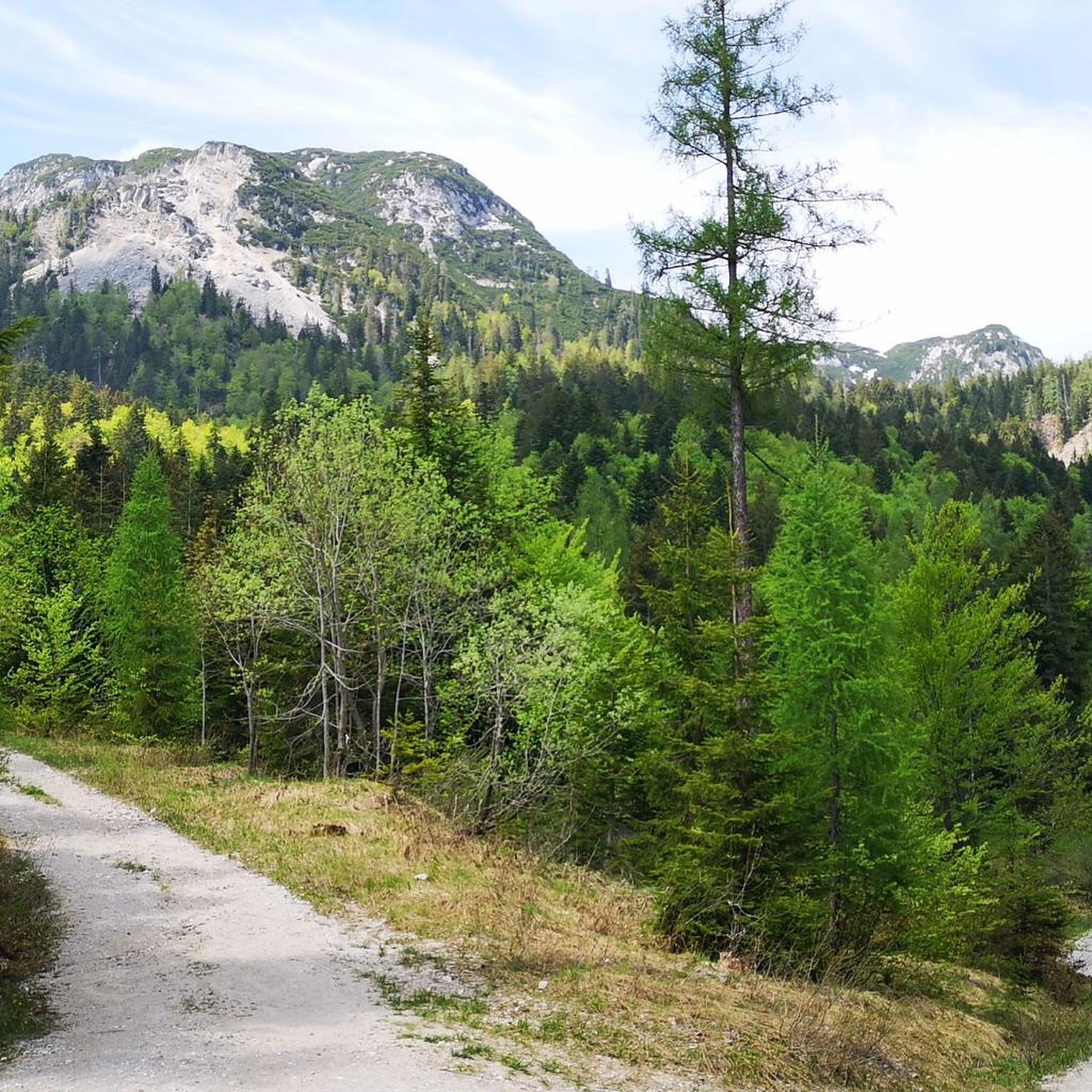
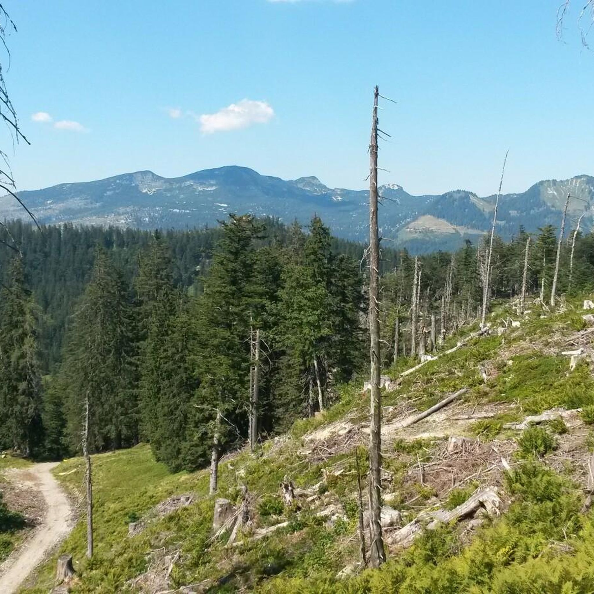
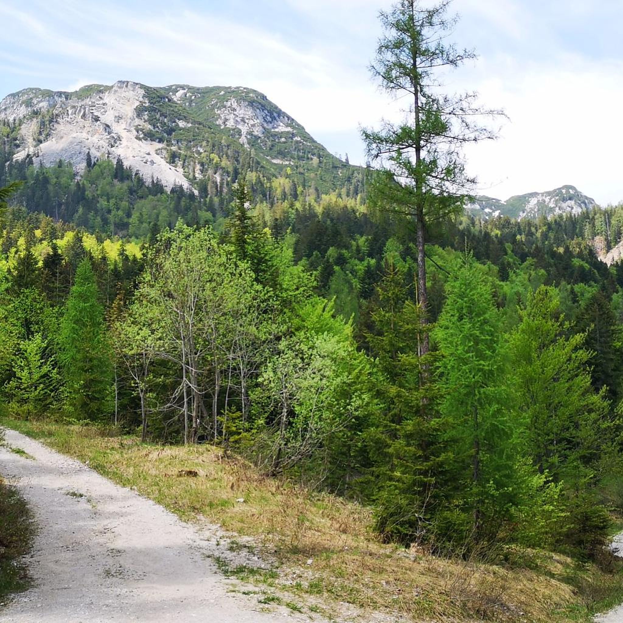
Hiking in Sandlingberg offers diverse trails within an alpine environment, characterized by mountainous terrain and dense forests in the Liezen region. The area features elevated peaks, valleys, and panoramic views of surrounding landscapes. Hikers can expect to encounter alpine flora and potentially glacial lakes or streams.
Best hiking trails in Sandlingberg
- The most popular hiking route is View of the Sarstein Alm – Sarstein Summit loop from Pötschenpass, a 6.3 miles (10.1 km) trail that takes 5 hours 48…
Last updated: October 8, 2026
4.2
(6)
37
hikers
9.14km
04:06
720m
720m
Hard hike. Good fitness required. Sure-footedness, sturdy shoes and alpine experience required.
3.0
(1)
12
hikers
7.61km
03:15
540m
540m
Moderate hike. Good fitness required. Mostly accessible paths. Sure-footedness required.

2
hikers
4.55km
01:30
180m
190m
Moderate hike. Great for any fitness level. Mostly accessible paths. Sure-footedness required.
8
hikers
5.84km
02:55
440m
440m
Hard hike. Good fitness required. Sure-footedness, sturdy shoes and alpine experience required.
3
hikers
Easy hike. Great for any fitness level. Easily-accessible paths. Suitable for all skill levels.
Get access to more routes and recommendations from other explorers.
Already have an account?
Our route recommendations are based on thousands of hikes, rides, and runs completed by other people on komoot.
Start today with a free account
Your next adventure awaits.
Tips from the Community

There it stands, just like that, by the wayside...... the large wooden daffodil, carved from a tree trunk.
0
0

Descent from the castle ruins on this path is wild and romantic but steep and slippery. However, there is an alternative via a wide gravel path back.
0
0

the kitchen is the best place to be (at least in winter :))
0
0


Self-catering hut - fantastic panoramic view from the Dachstein massif to the Totes Gebirge
0
0

From here you have a great view of Altaussee, the Altausseer See and the Loser
0
0

Nice platform with a great view and information boards
1
0
Nice little ruin, it's being restored
1
0
Frequently Asked Questions
How many hiking trails are available in Sandlingberg?
Sandlingberg offers a wide variety of hiking experiences, with over 580 routes available. These range from leisurely strolls to challenging alpine ascents, catering to all skill levels.
Are there easy hiking trails suitable for beginners or families in Sandlingberg?
Yes, Sandlingberg features over 250 easy hiking routes, many of which are suitable for beginners and families. An excellent option is the Narcissus Meadows – Blaa Alm, Altaussee loop from Salzwelten Altaussee, a 3.4-mile trail through flowering meadows that takes about 1 hour 37 minutes to complete.
Are dogs allowed on the hiking trails in Sandlingberg?
Generally, dogs are welcome on hiking trails in Sandlingberg. However, it's always recommended to keep them on a leash, especially in alpine pastures where livestock may be present, and to check specific trail regulations or protected areas for any restrictions. Always carry water for your dog and clean up after them.
What kind of views can I expect on hikes in Sandlingberg?
Hiking in Sandlingberg, located in an alpine environment, offers spectacular panoramic views. You can expect sweeping vistas of surrounding mountain ranges, deep valleys, and lush alpine landscapes. Trails often lead to elevated peaks that provide extensive outlooks over the region.
Are there any circular hiking routes in Sandlingberg?
Yes, Sandlingberg has numerous circular hiking routes, perfect for day trips. For example, the challenging View of the Sarstein Alm – Sarstein Summit loop from Pötschenpass is a 6.3-mile loop offering panoramic viewpoints. Another option is the Vordere Sandlingalm – Lambacher Hut loop from Salzwelten Altaussee, an 8.6-mile difficult path traversing alpine meadows.
What is the best time of year to go hiking in Sandlingberg?
The best time for hiking in Sandlingberg is typically from late spring to early autumn (May to October), when the weather is milder, and trails are clear of snow. During spring, you can enjoy flowering meadows, while autumn offers vibrant foliage. Always check local weather conditions before heading out.
Is it possible to hike in Sandlingberg during winter?
Winter hiking in Sandlingberg is possible, but it requires appropriate gear and experience due to snow and ice conditions. Some lower-altitude trails might be accessible, but higher alpine routes often require snowshoes or skis and an understanding of avalanche risks. Always consult local conditions and forecasts.
What should I wear for hiking in Sandlingberg?
Given Sandlingberg's alpine environment, it's crucial to dress in layers. Essential gear includes sturdy hiking boots with good ankle support, moisture-wicking base layers, insulating mid-layers, and a waterproof and windproof outer shell. Always carry a hat, gloves, and sun protection, as weather can change rapidly in the mountains.
Are there places to eat or rest along the trails, like cafes or huts?
Yes, in an alpine region like Sandlingberg, you can often find traditional alpine huts (Almhütten) or mountain restaurants along popular trails. These offer opportunities for rest, refreshments, and often local cuisine. It's advisable to check their operating hours, especially outside peak season.
Where can I park when visiting the hiking trails in Sandlingberg?
Parking availability varies by trailhead. Many popular starting points, such as those near Salzwelten Altaussee or Pötschenpass, offer designated parking areas. It's recommended to check specific route descriptions on komoot for detailed parking information for your chosen trail.
What do other hikers say about the trails in Sandlingberg?
The trails in Sandlingberg are highly rated by the komoot community, with an average score of 4.6 stars from over 6,800 reviews. Hikers frequently praise the diverse terrain, from dense forests to alpine meadows, and the rewarding panoramic views from elevated peaks.
How long do day hikes typically take in Sandlingberg?
Day hikes in Sandlingberg can vary significantly in duration depending on the trail's length and difficulty. For instance, an easy route like the Narcissus Meadows – Blaa Alm, Altaussee loop takes about 1 hour 37 minutes, while more challenging routes such as the Sarstein Summit loop can take nearly 6 hours.
Most popular routes in Sandlingberg

Get inspired with the komoot mobile app


Explore more
Browse the best Hikes in other regions.
