The best mountain hikes in Elendwald
4.7
(169)
2,135
hikers
45
hikes
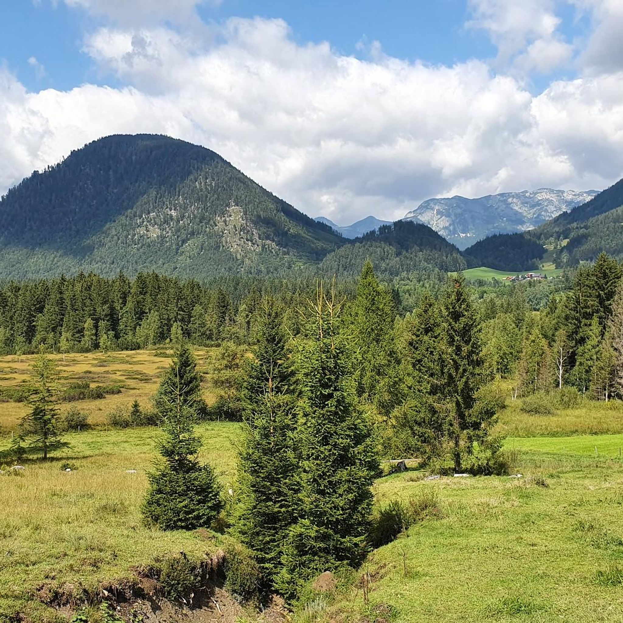
Mountaineering in Elendwald offers a diverse landscape characterized by prominent summits, alpine lakes, and dense forests. The region features a mix of challenging ascents and more moderate trails, providing varied terrain for mountaineers. Elevations range significantly, with some routes featuring over 1000 meters of climbing. The area is known for its well-defined mountain paths and scenic viewpoints.
Best mountaineering routes in Elendwald
- The most popular mountaineering route is Ausseer Zinken Summit loop from Bad Aussee, a 7.7 miles (12.3…
Last updated: July 5, 2026
5.0
(3)
51
hikers
12.3km
07:10
1,200m
1,200m
Hard mountaineering route. Very good fitness required. Sure-footedness, sturdy shoes and alpine experience required.
5.0
(1)
11
hikers
6.62km
02:34
380m
380m
Moderate mountaineering route. Good fitness required. Mostly accessible paths. Sure-footedness required.

Sign up for free
4.7
(13)
227
hikers
7.81km
04:25
750m
750m
Hard mountaineering route. Good fitness required. Sure-footedness, sturdy shoes and alpine experience required.
17
hikers
Moderate mountaineering route. Great for any fitness level. Mostly accessible paths. Sure-footedness required.
4.7
(3)
8
hikers
5.96km
02:23
380m
380m
Moderate mountaineering route. Good fitness required. Mostly accessible paths. Sure-footedness required.
Get access to more routes and recommendations from other explorers.
Sign up for free
Already have an account?
Our route recommendations are based on thousands of hikes, rides, and runs completed by other people on komoot.
Start today with a free account
Your next adventure awaits.
Login or Signup
Tips from the Community

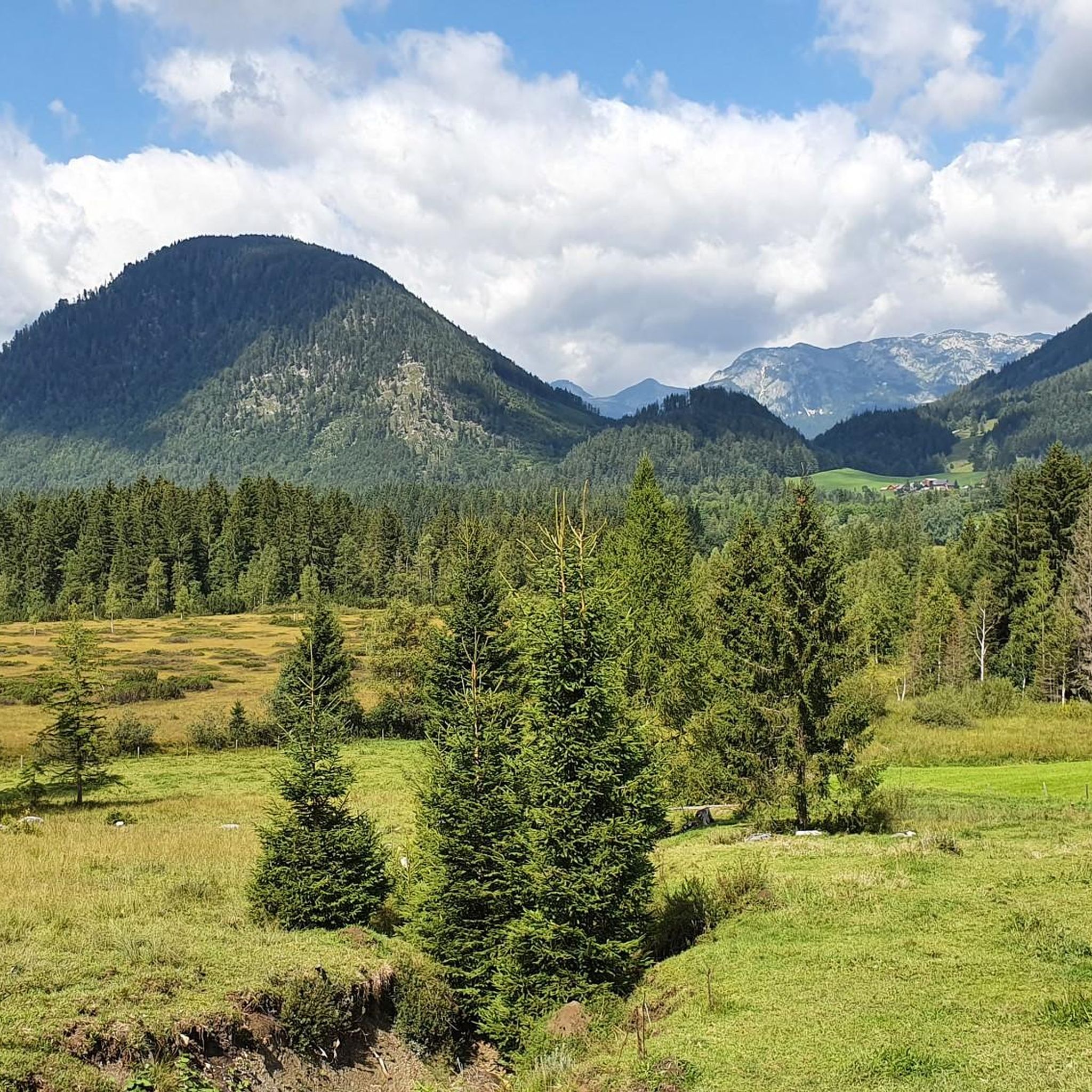
The summit of the Zinken - often described as the "Ausseer" Zinken - offers a magnificent view and valley view into the Ausseerland
0
0

The Ahornkogel can be reached in 5 minutes from the hiking trail to the Trisselwand.
0
0
Magnificent views of the Dachstein glacier, Totes Gebirge with Loser, Grimming, Schladminger Tauern, Grundsee and Altaussee and many more.
0
0

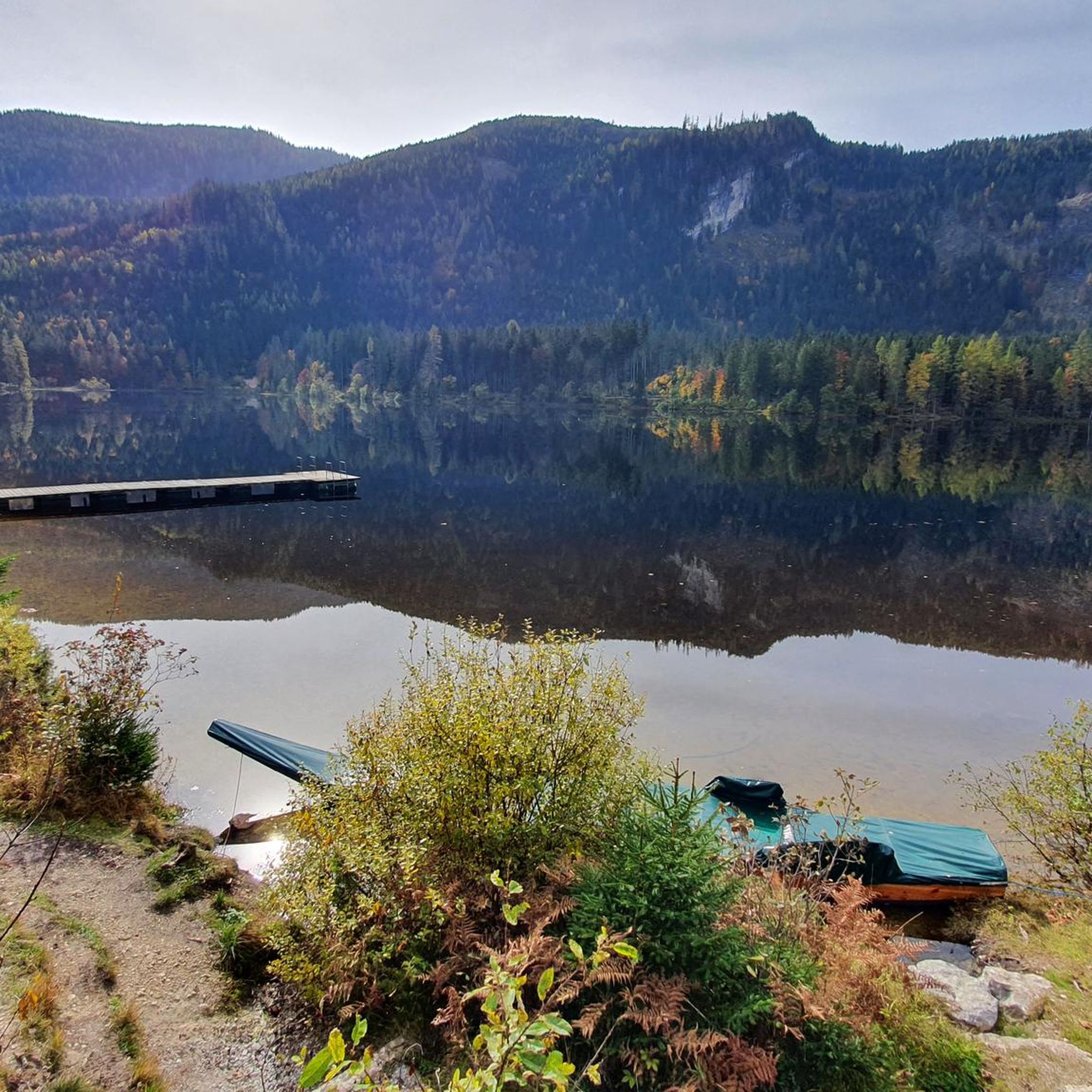
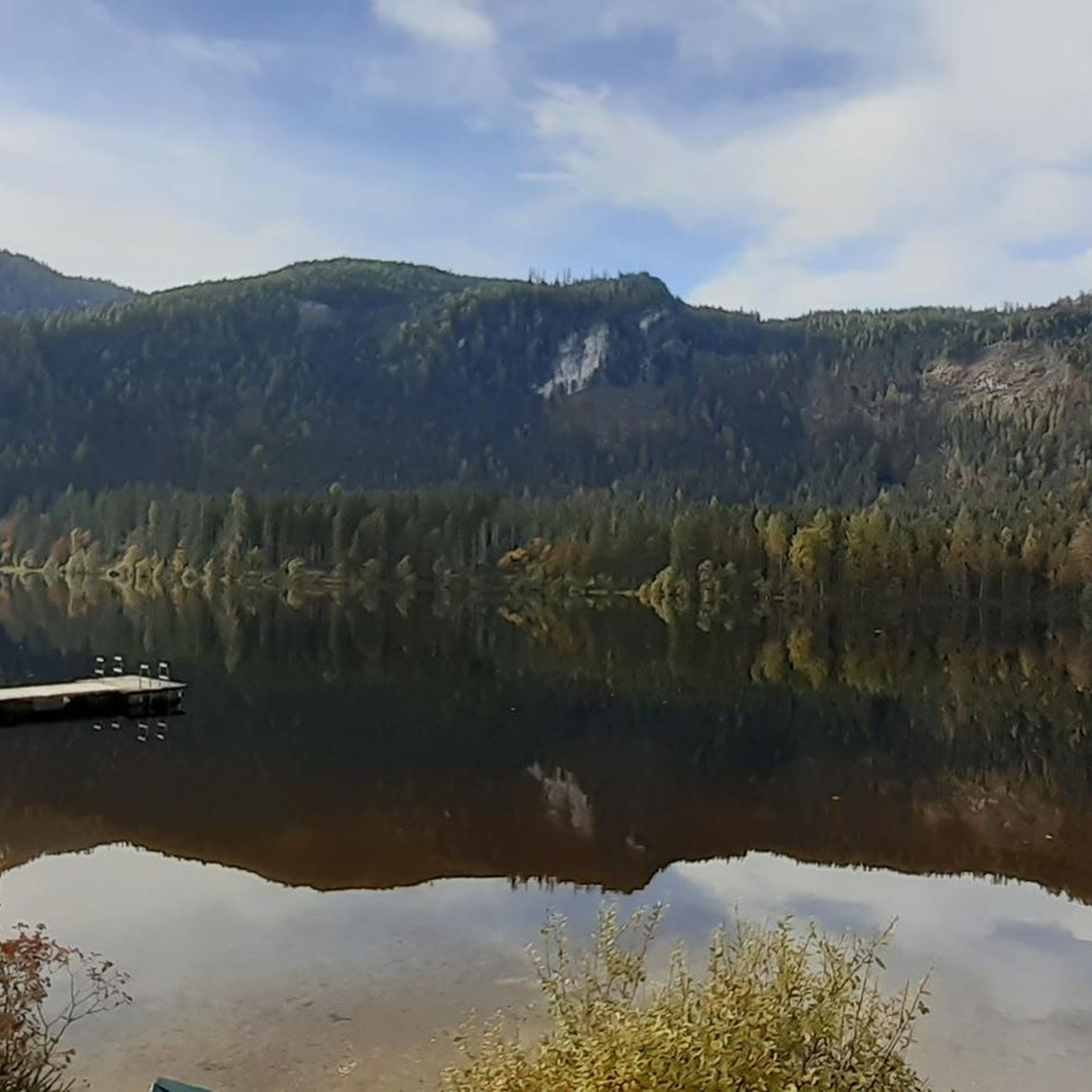
From the hiking trail you have a great view of Lake Altausseer. It is particularly beautiful when the mountains are reflected in the water.
1
0

Fantastic view from the Totes Gebirge over the Loser and Altausseer See to the Dachstein glacier
0
0

Fees apply and can be paid with EC card.
0
0
From here you start the hike to the Trisselwand.
2
0
The Altaussee view naturally also includes the Loser and the Trisselwand.
2
0
Frequently Asked Questions
How many mountaineering routes are available in Elendwald?
Elendwald offers a wide selection of mountaineering routes, with over 45 tours to explore. These range from moderate paths to challenging summit ascents.
Are there any beginner-friendly mountaineering routes in Elendwald?
While Elendwald is known for its challenging terrain, there are moderate options suitable for those with some experience. For instance, the View of Grundlsee loop from Altausseer See is a shorter, moderate route that provides a taste of the region's beauty without extreme difficulty.
What are some of the more advanced mountaineering trails in Elendwald?
Elendwald features several demanding routes for experienced mountaineers. The Ausseer Zinken Summit loop from Bad Aussee is a difficult 12.3 km trail with over 1200 meters of elevation gain, offering significant challenges and rewarding panoramic views.
Are there any circular mountaineering routes in Elendwald?
Yes, many routes in Elendwald are designed as loops, allowing you to start and end in the same location. Examples include the popular Mountaineering loop from Bad Aussee and the more challenging Trisselwand Summit – View from Trisselberg loop from Altausseer See.
What kind of natural attractions can I expect to see along the mountaineering routes?
Elendwald's routes often pass by stunning natural features. You might encounter beautiful alpine lakes like Ödensee and its tranquil South Shore, or unique geological formations such as the Strumern Karst Spring. Many trails also offer viewpoints with expansive vistas.
What is the best time of year for mountaineering in Elendwald?
The best time for mountaineering in Elendwald is typically from late spring to early autumn (May to October), when trails are generally free of snow and weather conditions are more stable. Always check local weather forecasts before heading out.
Are there any routes suitable for families with children?
For families seeking a moderate experience, routes like the View of Grundlsee loop from Altaussee offer manageable distances and elevation gains, providing an enjoyable outing through varied mountain terrain. Always consider the fitness level of all participants.
What do other mountaineers say about the routes in Elendwald?
The mountaineering routes in Elendwald are highly regarded by the komoot community, boasting an average rating of 4.6 stars from over 170 reviews. Users frequently praise the well-defined mountain paths, scenic viewpoints, and the diverse landscape that offers both challenging ascents and moderate trails.
Are there any places to relax or get refreshments near the trails?
Yes, some areas near the trails offer facilities for relaxation. For example, you might find spots like the Forest Relaxation Decks at NSV Ödensee, which are perfect for a break. There are also often mountain huts or guesthouses in the valleys and villages where you can find refreshments.
What should I wear for mountaineering in Elendwald?
Given the varied terrain and potential for changing weather, it's essential to wear appropriate mountaineering gear. This includes sturdy hiking boots with good ankle support, layered clothing suitable for different temperatures, rain protection, and a backpack with water, snacks, and a first-aid kit. Always check the weather forecast before your tour.
Are there any hidden gem routes or less-trafficked trails in Elendwald?
While specific 'hidden gems' are often discovered by personal exploration, focusing on routes slightly off the main popular paths or visiting during off-peak times can lead to a more secluded experience. The region's extensive network means there are always new paths to explore beyond the most well-known summits.
Is parking available at the trailheads in Elendwald?
Parking availability varies by trailhead. Many popular starting points, especially near towns like Bad Aussee and Altaussee, offer designated parking areas. It's advisable to research specific route starting points for detailed parking information before your trip.
Most popular routes in Elendwald
Most popular attractions in Elendwald

Get inspired with the komoot mobile app


Explore more
Browse the best Mountain Hikes & Routes in other regions.
