The best mountain hikes in Frauenloch
4.9
(82)
987
hikers
34
hikes
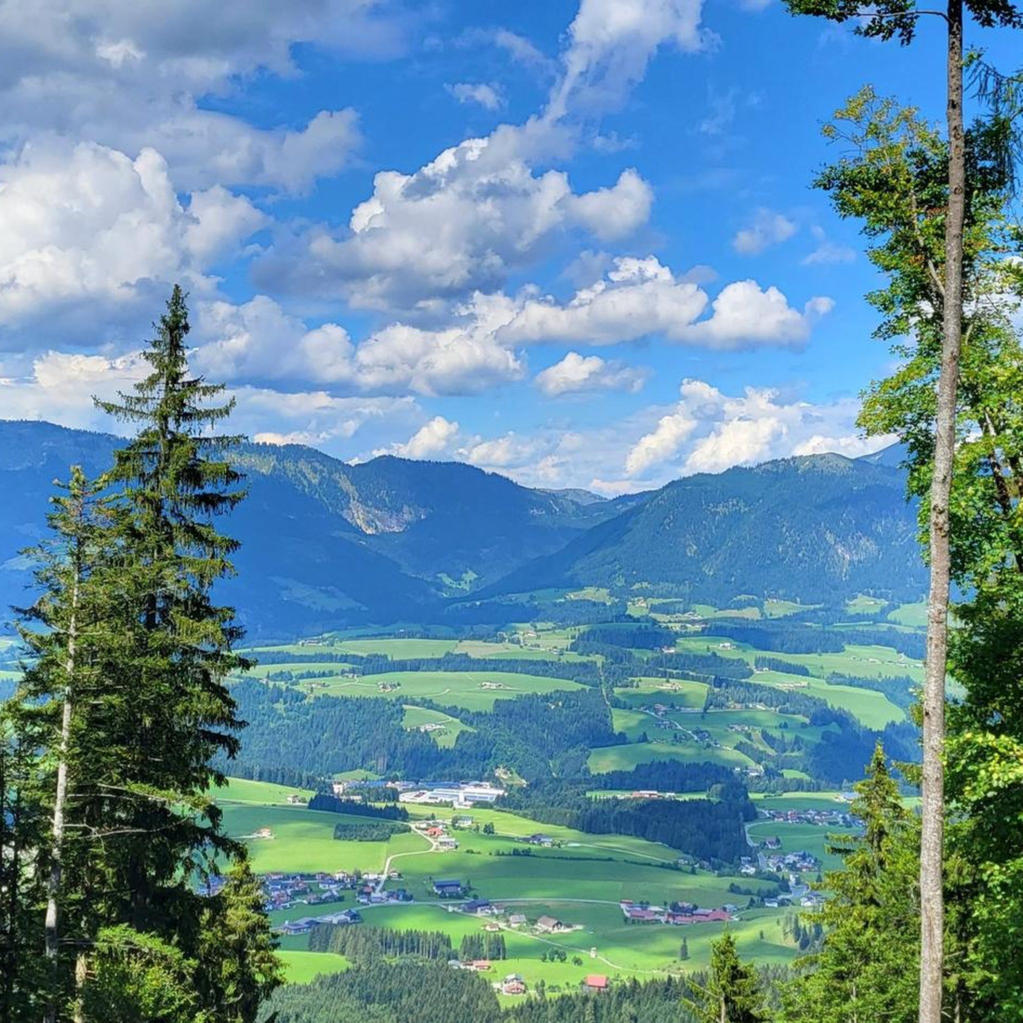
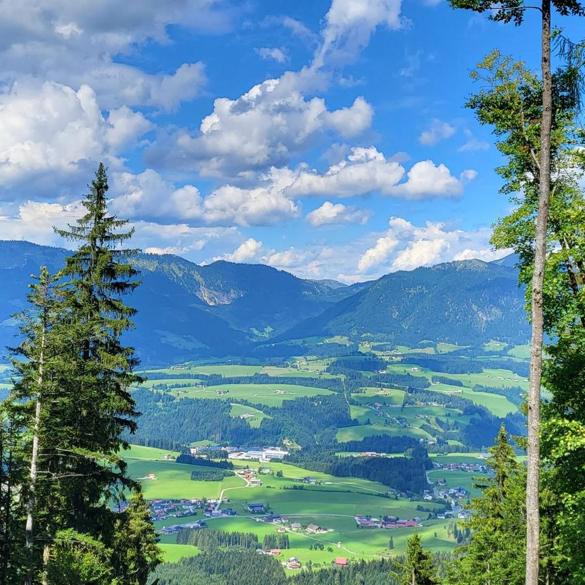
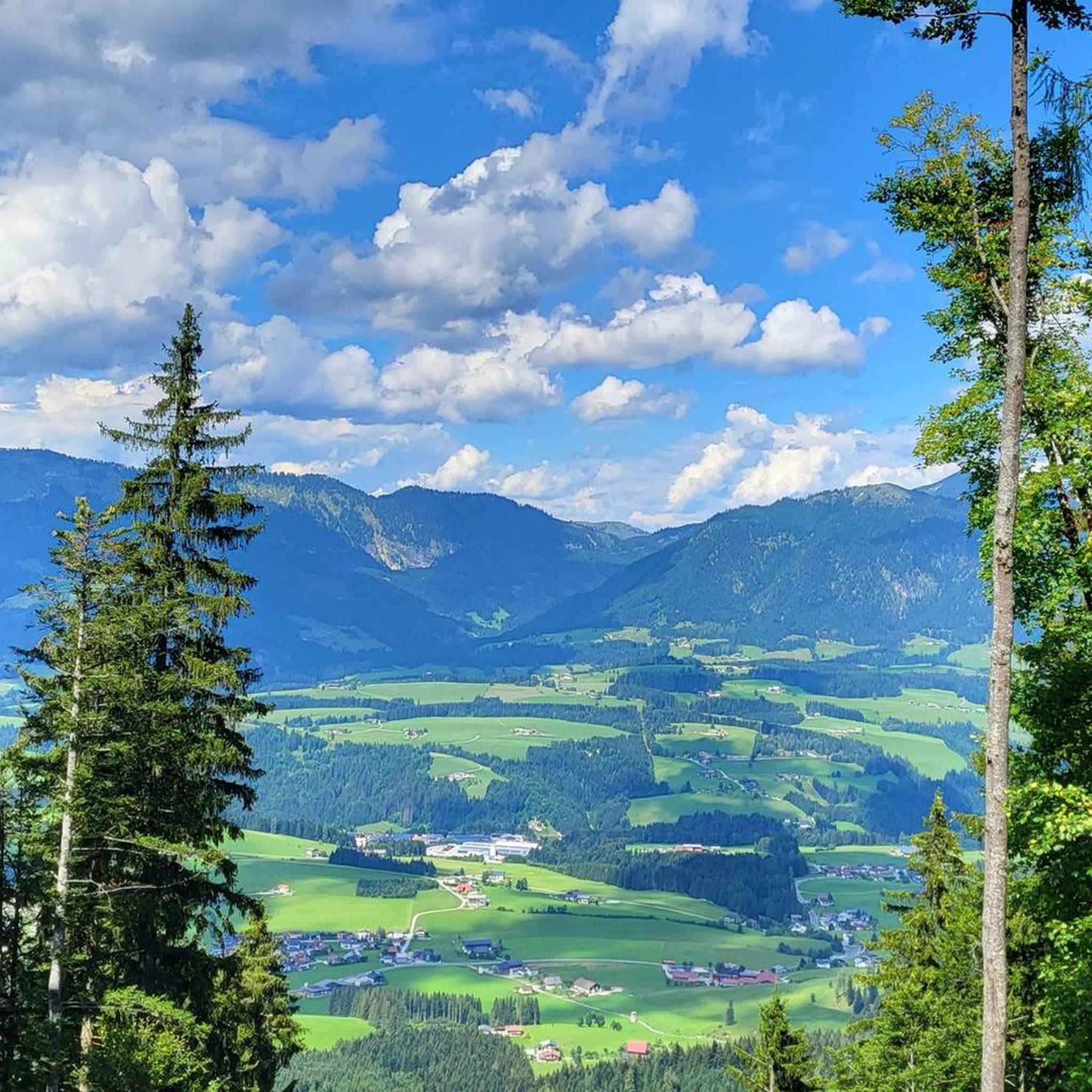
Mountaineering routes in Frauenloch, situated within the broader Austrian Alps, offer diverse terrain characterized by impressive mountain panoramas and significant water features. The region features trails that lead through alpine pastures, past waterfalls, and towards high-alpine reservoirs and peaks exceeding 2,000 meters. These routes often involve substantial elevation gains, providing a challenging environment for mountaineers.
Best mountaineering routes in Frauenloch
- The most popular mountaineering route is Water Source at Wandalm – Laufener Hütte loop from Karalm, a 8.9 miles…
Last updated: July 1, 2026
5.0
(1)
32
hikers
8.07km
04:32
750m
750m
Hard mountaineering route. Good fitness required. Sure-footedness, sturdy shoes and alpine experience required.
5.0
(3)
29
hikers
14.8km
07:49
1,230m
1,230m
Hard mountaineering route. Very good fitness required. Sure-footedness, sturdy shoes and alpine experience required.

Sign up for free
4.8
(4)
18
hikers
9.20km
05:12
860m
860m
Hard mountaineering route. Very good fitness required. Sure-footedness, sturdy shoes and alpine experience required.
5.0
(1)
14
hikers
11.1km
05:16
880m
880m
Hard mountaineering route. Very good fitness required. Sure-footedness, sturdy shoes and alpine experience required.
11
hikers
6.39km
03:34
520m
520m
Hard mountaineering route. Good fitness required. Sure-footedness, sturdy shoes and alpine experience required.
Get access to more routes and recommendations from other explorers.
Sign up for free
Already have an account?
Our route recommendations are based on thousands of hikes, rides, and runs completed by other people on komoot.
Start today with a free account
Your next adventure awaits.
Login or Signup

Tips from the Community

If there's no menu on the table, ask - there's plenty of good food! Very friendly crew
0
0

Every year I take my mobility scooter up to the top (the employees are very helpful) and drive down the mountain.
1
0

At the Edelweißscharte you go up to the Hochkarfelderkopf on the one hand, and on the other hand you go over a ridge of grass and pines up to the summit of the Edelweißkogel. From the summit you have a beautiful view of, among other things, the Dachstein massif. From the Laufener Hut, the 330 meters in altitude can be achieved in less than 1.5 hours.
0
0
Inscription on the cross: Bright days - do not cry because they are over, but give thanks that they have been.
0
0

After 400 meters uphill on the train you are here!
5
0
Everything was great, food was great, service was great
7
1

Tennengebirge: Gsengalm as a great starting point and stop on the descent
0
0
Easily overlooked when descending from the ridge
0
0
Frequently Asked Questions
How many mountaineering routes are available in Frauenloch?
Frauenloch offers a diverse selection of over 35 mountaineering routes. These range from moderate ascents to challenging, multi-hour expeditions, providing options for various skill levels.
What is the typical difficulty level of mountaineering routes in Frauenloch?
The majority of mountaineering routes in Frauenloch are classified as difficult, with 29 out of 37 routes falling into this category. There are also 7 moderate routes and 1 easy route available, ensuring options for different experience levels.
Are there any circular mountaineering routes in Frauenloch?
Yes, Frauenloch features several circular mountaineering routes. A popular option is the Water Source at Wandalm – Laufener Hütte loop from Karalm, which is a challenging 8.9-mile (14.3 km) trail. Another highly-rated circular route is the Gsengalmhütte – Kleiner Traunstein (1,652 m) loop from Abtenau, covering 6.9 miles (11.1 km).
What natural features can I expect to see along the mountaineering routes in Frauenloch?
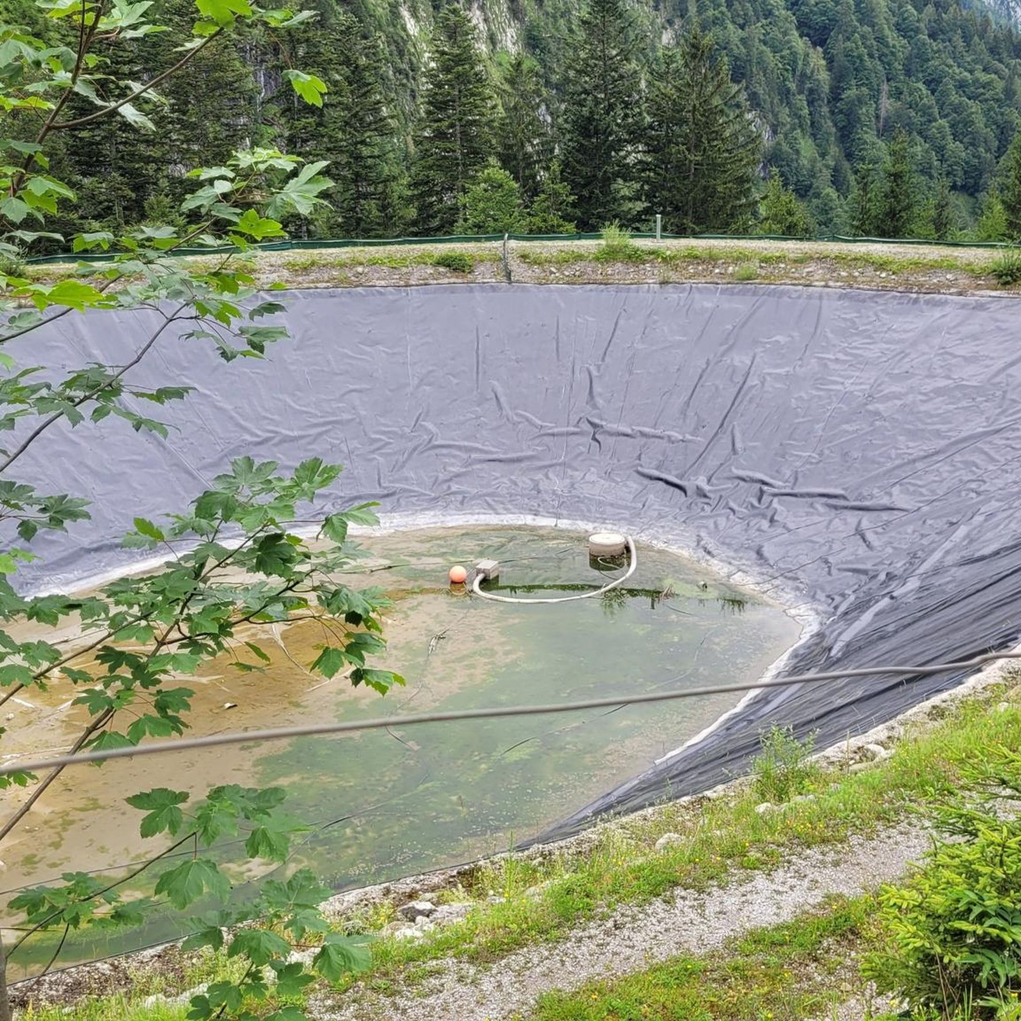
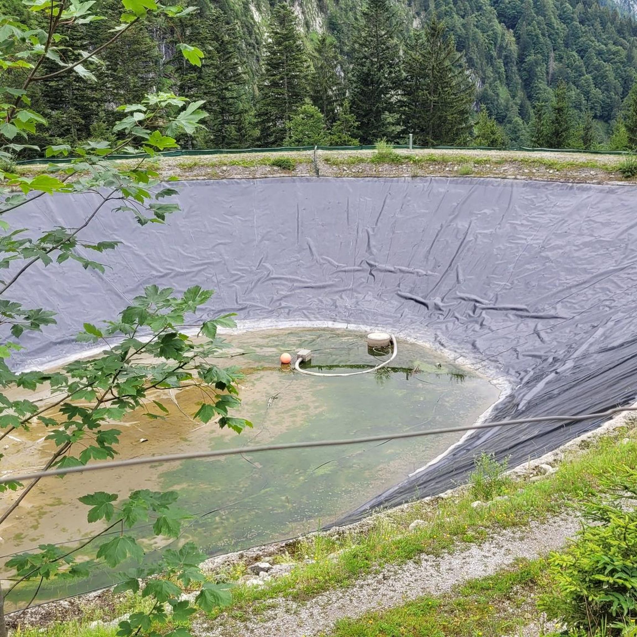
Mountaineering routes in Frauenloch are characterized by stunning mountain panoramas, alpine pastures, and significant water features. You can encounter natural spectacles such as the Dachser Waterfall and the Tricklfall Falls. Many trails also lead past high-alpine reservoirs and offer viewpoints like the Panoramic View of the Salzburg Alps.
Are there any mountain huts or places to rest along the trails?
Yes, some mountaineering routes in Frauenloch provide access to mountain huts. For instance, the challenging Water Source at Wandalm – Laufener Hütte loop from Karalm offers access to a mountain hut. You might also find places like the Kohlhof snack station in the vicinity.
What is the best time of year for mountaineering in Frauenloch?
The best time for mountaineering in Frauenloch is generally during the warmer months when trails are clear of snow and ice. The region's high-alpine terrain means that conditions can vary, so it's always advisable to check local weather forecasts and trail conditions before heading out, especially for routes exceeding 2,000 meters.
Are there any easier mountaineering routes suitable for beginners?
While most routes are difficult, there is one easy mountaineering route and seven moderate options in Frauenloch. A moderate choice is the Gsengalm and Surroundings – Gsengalmhütte loop from Karalm, which is 4.4 miles (7.1 km) long and typically takes around 3 hours 40 minutes, leading through alpine pastures.
What do other mountaineers say about the routes in Frauenloch?
The mountaineering routes in Frauenloch are highly regarded by the komoot community, boasting an average rating of 4.9 stars from over 100 reviews. More than 1,300 mountaineers have explored the varied terrain, often praising the impressive mountain panoramas and the challenging yet rewarding experiences.
Can I bring my dog on the mountaineering trails in Frauenloch?
While specific regulations for each trail should be checked, many areas in the Austrian Alps are dog-friendly. It's generally recommended to keep dogs on a leash, especially in alpine pastures where livestock may be present, and to ensure they are fit enough for the challenging terrain and elevation gains.
Are there any routes that offer significant elevation gain?
Yes, mountaineering in Frauenloch often involves substantial elevation gains. For example, the Water Source at Wandalm – Tennengebirge First Summit loop from Karalm features an ascent of over 1,150 meters (3,770 feet) over its 10.6 km distance, providing a challenging climb.
How long do the mountaineering routes in Frauenloch typically take?
The duration of mountaineering routes in Frauenloch varies significantly based on difficulty and length. Challenging routes like the Water Source at Wandalm – Laufener Hütte loop from Karalm can take over 7 hours to complete, while moderate options might be around 3-4 hours.
Is there public transport access to the trailheads in Frauenloch?
Frauenloch is situated within regions like Salzburg, and while specific trailhead access by public transport can vary, areas like Abtenau, which is near some routes, often have public transport connections. It's advisable to research local bus schedules to specific starting points before planning your trip.
Most popular routes in Frauenloch
Most popular attractions in Frauenloch

Get inspired with the komoot mobile app


Explore more
Browse the best Mountain Hikes & Routes in other regions.
