The best road cycling routes in Daxenthaler Forst
4.4
(275)
5,438
riders
412
rides
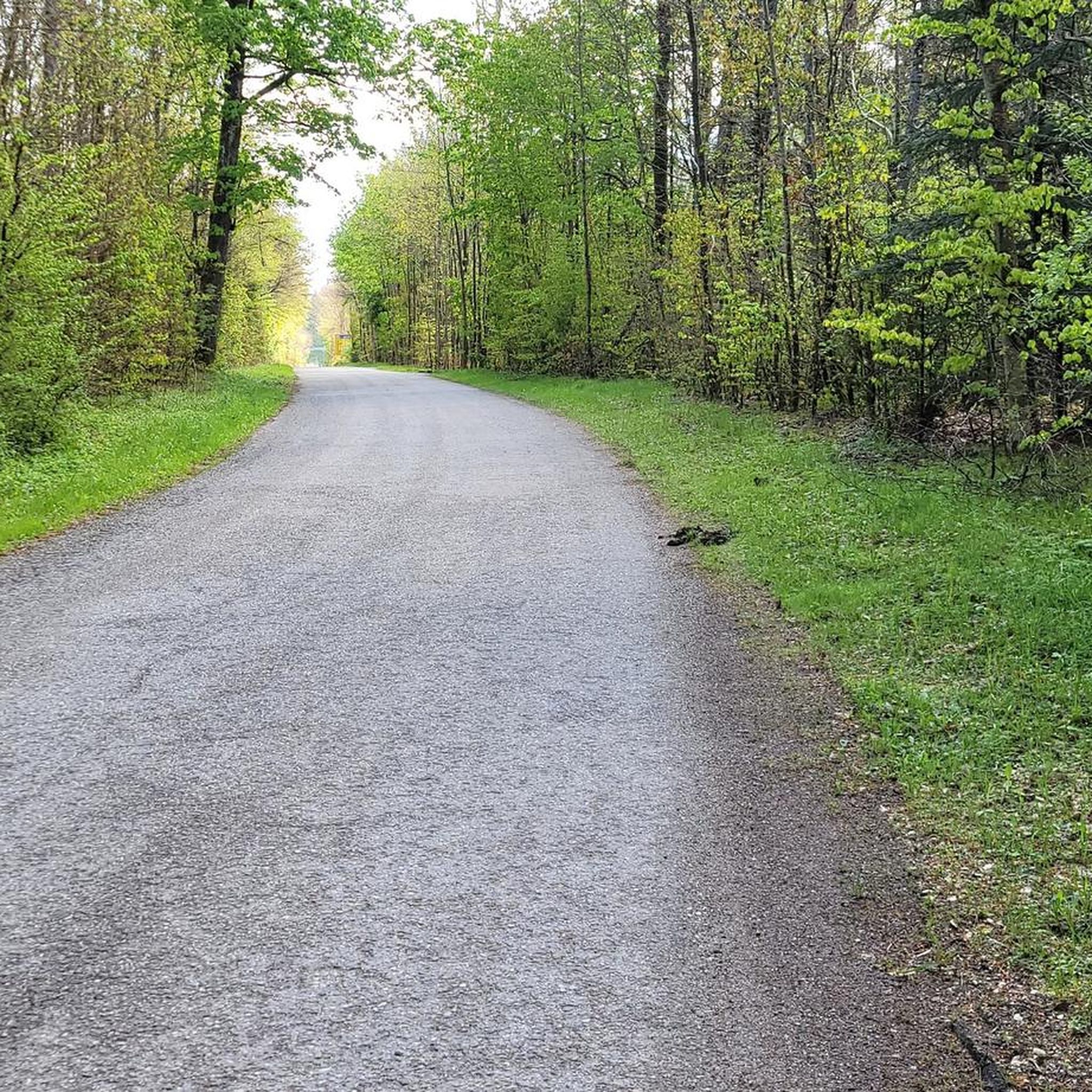
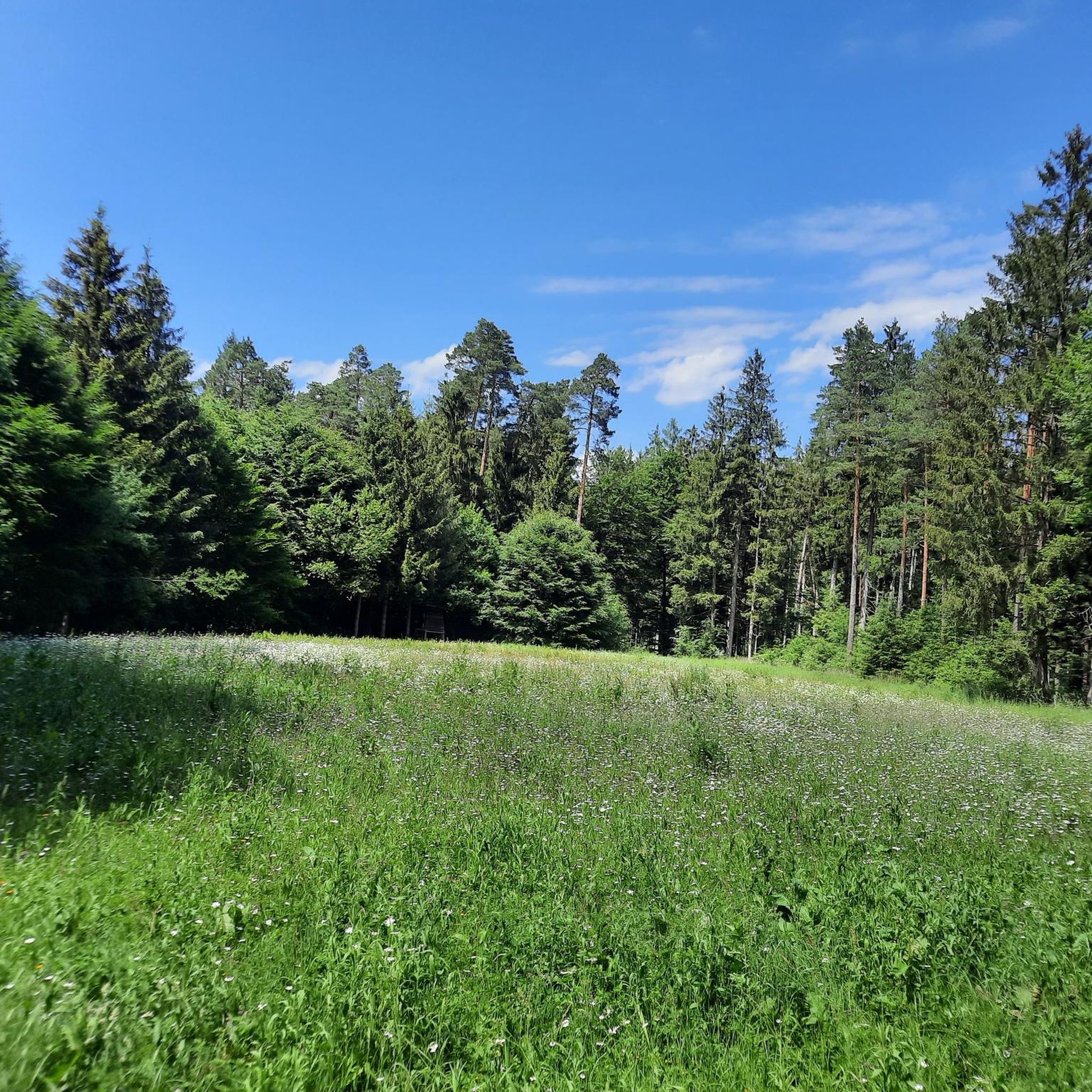
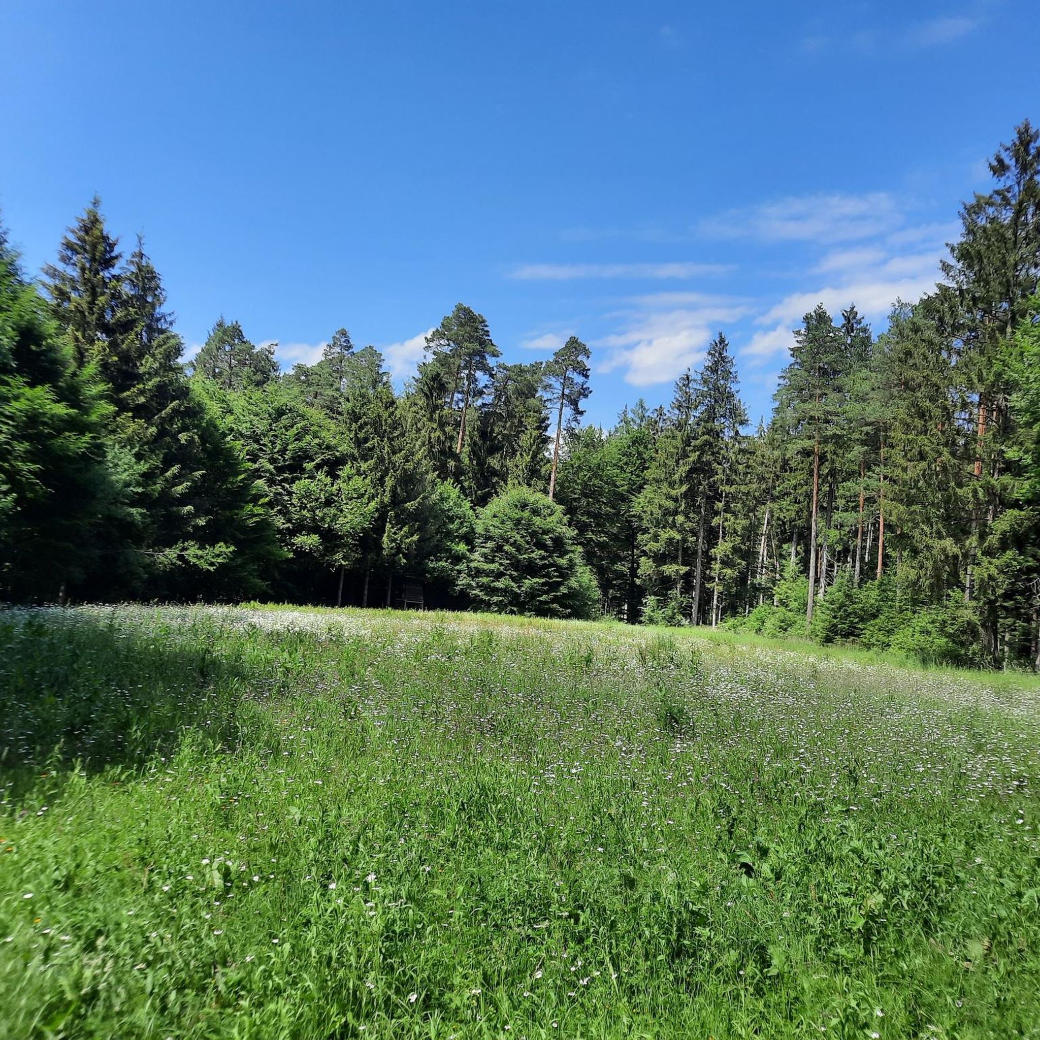
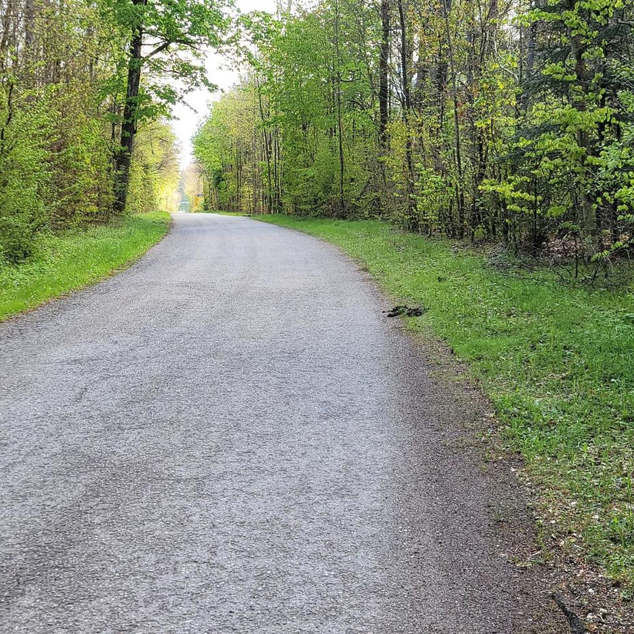
Road cycling routes in Daxenthaler Forst are situated within a designated forest area in the Altötting district of Bavaria, Germany. This region is characterized by a pure forest landscape, predominantly covered by coniferous trees, with an average elevation of 400 meters above sea level. The terrain generally features gentle ascents and descents, making it suitable for various road cycling abilities. The area is part of a larger landscape unit recognized for its extensive forest cover.
Best road cycling routes in…
Last updated: July 2, 2026
4.9
(7)
97
riders
33.9km
01:24
140m
140m
Easy road ride. Great for any fitness level. Mostly well-paved surfaces and easy to ride.
50
riders
58.6km
02:24
200m
200m
Moderate road ride. Good fitness required. Some segments of this route may be unpaved and difficult to ride.

Sign up for free
4.0
(2)
37
riders
25.4km
01:06
120m
120m
Moderate road ride. Great for any fitness level. Some segments of this route may be unpaved and difficult to ride.
5.0
(3)
27
riders
62.1km
02:43
420m
420m
Moderate road ride. Good fitness required. Some segments of this route may be unpaved and difficult to ride.
5.0
(1)
26
riders
62.0km
02:37
250m
250m
Moderate road ride. Good fitness required. Some segments of this route may be unpaved and difficult to ride.
Get access to more routes and recommendations from other explorers.
Sign up for free
Already have an account?
Our route recommendations are based on thousands of hikes, rides, and runs completed by other people on komoot.
Start today with a free account
Your next adventure awaits.
Login or Signup
Tips from the Community


impressive building, an open eye recognizes the purpose.
0
0

The medieval castle complex in the heart of the Inn River is a special tourist destination. The Chancellor's Room, the exhibition, and the cellar vault bring Frauenstein's history to life.
1
0

Bird sanctuary with adventure world
1
0

A lovely little town on the Inn River, with Penny and Edeka right in town, and Netto just outside. There's also a rare opportunity to cross the Inn River here!
0
0


Frequently Asked Questions
How many road cycling routes are available in Daxenthaler Forst?
There are over 400 road cycling routes in Daxenthaler Forst, offering a wide range of options for different abilities and preferences. Approximately 60 of these routes are classified as easy, while nearly 300 are moderate, and around 60 are considered difficult.
What is the typical terrain like for road cycling in Daxenthaler Forst?
The Daxenthaler Forst is characterized by a pure forest landscape, predominantly covered by coniferous trees. The terrain generally features gentle ascents and descents, with an average elevation of 400 meters above sea level. This makes it suitable for various road cycling abilities, offering a consistent forest road experience.
Are there road cycling routes suitable for beginners in Daxenthaler Forst?
Yes, Daxenthaler Forst offers several easy road cycling routes. An excellent option for beginners is the Marktl am Inn – Marien Apotheke, Marktl loop from Haiming, which is 21.1 miles (33.9 km) long with minimal elevation gain, providing a pleasant and accessible ride.
What kind of challenges can advanced road cyclists expect in Daxenthaler Forst?
While the Daxenthaler Forst generally features gentle terrain, advanced cyclists can find longer routes with more significant elevation changes. For example, the Eglsee Birdwatching Tower loop from Marktl is a moderate 38.6 miles (62.1 km) route with over 400 meters of ascent, offering a more demanding ride through the forested landscape.
Are there any circular road cycling routes in Daxenthaler Forst?
Yes, many of the road cycling routes in Daxenthaler Forst are designed as loops. Popular circular options include the Innbrücke Marktl – Romantic Pond loop from Neuhofen, a moderate 27.1 miles (43.6 km) path, and the shorter Roadbike loop from Marktl, which is 15.5 miles (24.9 km).
What do other road cyclists enjoy most about road cycling in Daxenthaler Forst?
The area is highly rated by the komoot community, with an average score of 4.5 stars from over 200 reviews. Reviewers often praise the extensive forest roads, the quiet natural environment, and the varied terrain that offers options for different skill levels.
Are there any specific landmarks or viewpoints along the road cycling routes in Daxenthaler Forst?
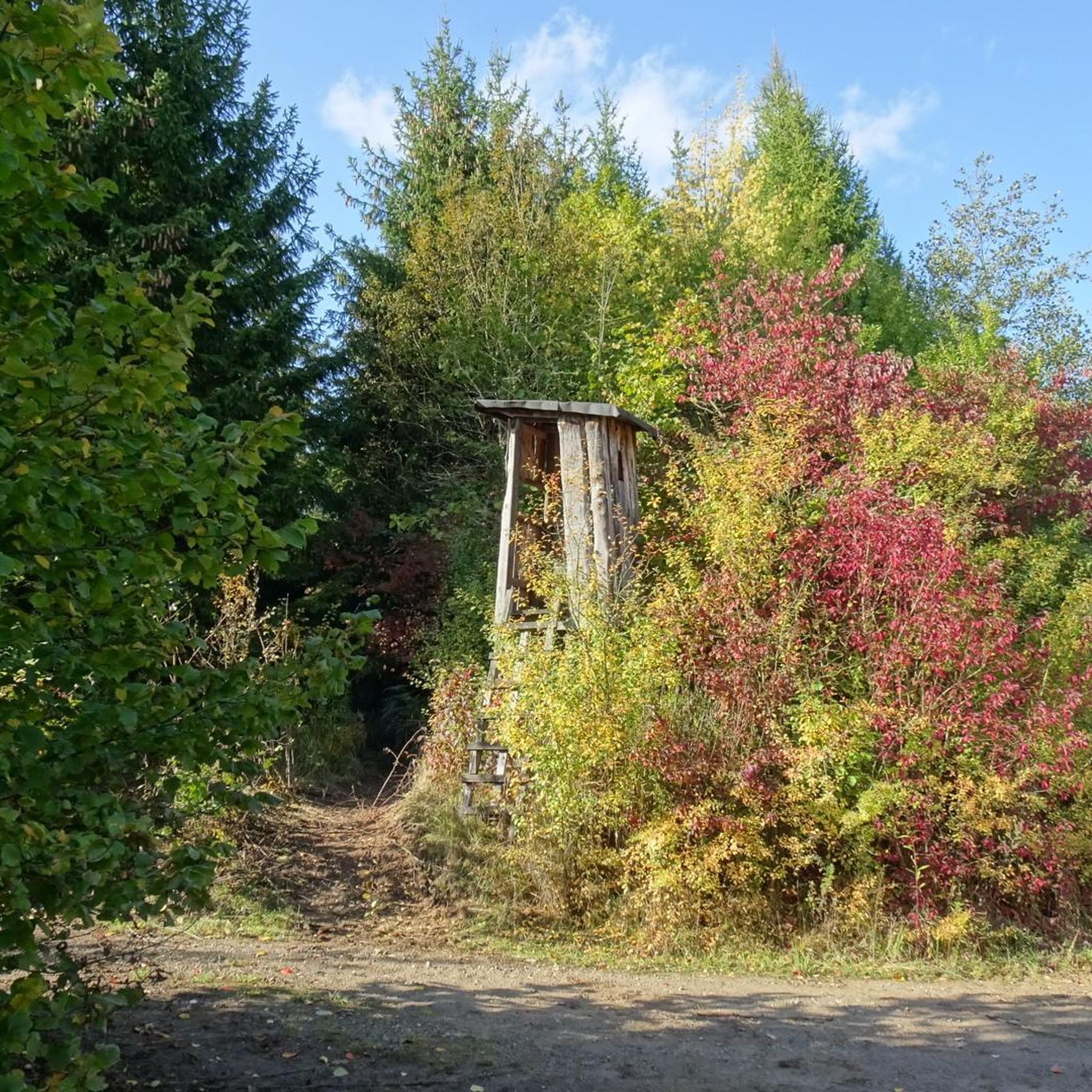
The Daxenthaler Forst is primarily a pure forest landscape, known for its extensive coniferous tree cover. While specific prominent landmarks or panoramic viewpoints are not highlighted within the forest itself, the routes offer continuous immersion in a significant fresh air region. Some routes, like the Eglsee Birdwatching Tower loop from Marktl, may pass by points of interest such as birdwatching towers, offering glimpses of local wildlife.
Is Daxenthaler Forst suitable for family road cycling trips?
Given its generally gentle terrain and numerous easy routes, Daxenthaler Forst can be suitable for family road cycling, especially on the less challenging loops. The quiet forest roads provide a safe environment away from heavy traffic, ideal for a relaxed ride with children. Always check the specific route details for distance and elevation to ensure it matches your family's ability.
What is the best time of year for road cycling in Daxenthaler Forst?
The Daxenthaler Forst is generally pleasant for road cycling from spring through autumn. During these seasons, the weather is typically mild, and the forest environment offers shade. While winter cycling is possible, conditions may vary, with potential for colder temperatures and icy patches, especially on less-trafficked forest roads.
Where can I find parking for road cycling in Daxenthaler Forst?
As Daxenthaler Forst is a large forest area, parking options are typically available at the edges of the forest or in nearby towns and villages that serve as starting points for routes. For example, routes often start from locations like Marktl, Haiming, or Neuhofen, where public parking facilities can usually be found. It's advisable to check specific starting points for designated parking areas.
Are there any cafes or restaurants near the road cycling routes in Daxenthaler Forst?
While the Daxenthaler Forst itself is a forest area, the surrounding towns and villages such as Marktl, Haiming, and Neuhofen offer various amenities including cafes and restaurants. Cyclists can plan their routes to start or end in these locations to enjoy refreshments or meals before or after their ride.
Can I reach Daxenthaler Forst by public transport for road cycling?
Access to Daxenthaler Forst by public transport would typically involve reaching nearby towns like Marktl or Altötting via regional train or bus services. From these points, you might need to cycle a short distance to reach the forest's road cycling network. It's recommended to check local public transport schedules and bicycle carriage policies for specific routes.
Most popular routes in Daxenthaler Forst

Get inspired with the komoot mobile app


Explore more
Browse the best Road cycling routes in other regions.
