The best running trails in Kobernaußerwald
4.6
(63)
1,957
runners
250
runs
Jogging in Kobernaußerwald offers extensive forested landscapes and varied terrain for runners. This region is characterized by its vast coniferous forests, primarily spruce, providing a shaded and immersive natural environment. The area features rolling hills, contributing to dynamic running routes with varied elevation profiles. Numerous watercourses originate within the forest, adding to the scenic beauty of many trails.
Best jogging routes in Kobernaußerwald
- The most popular jogging route is Running loop from Erkaburgen, a 3.5 miles (5.6 km) trail…
Last updated: July 1, 2026
4
runners
5.60km
00:36
90m
100m
Moderate run. Good fitness required. Mostly paved surfaces. Suitable for all skill levels.
5
runners
17.5km
02:02
330m
330m
Hard run. Very good fitness required. Mostly paved surfaces. Suitable for all skill levels.

Sign up for free
3
runners
7.05km
00:47
130m
140m
Moderate run. Good fitness required. Mostly paved surfaces. Suitable for all skill levels.
3
runners
10.7km
01:09
170m
170m
Moderate run. Good fitness required. Mostly paved surfaces. Suitable for all skill levels.
7
runners
7.63km
00:50
120m
120m
Moderate run. Good fitness required. Mostly paved surfaces. Suitable for all skill levels.
Get access to more routes and recommendations from other explorers.
Sign up for free
Already have an account?
Our route recommendations are based on thousands of hikes, rides, and runs completed by other people on komoot.
Start today with a free account
Your next adventure awaits.
Login or Signup
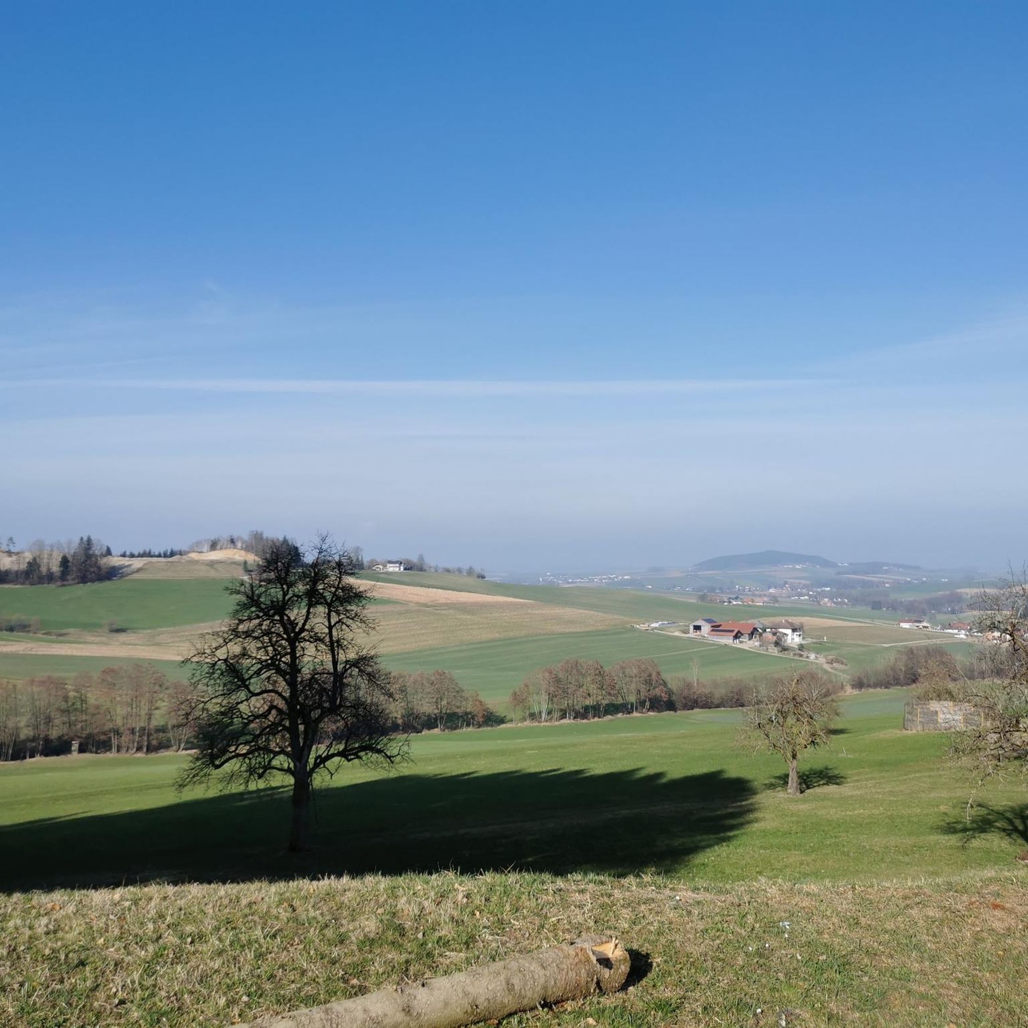
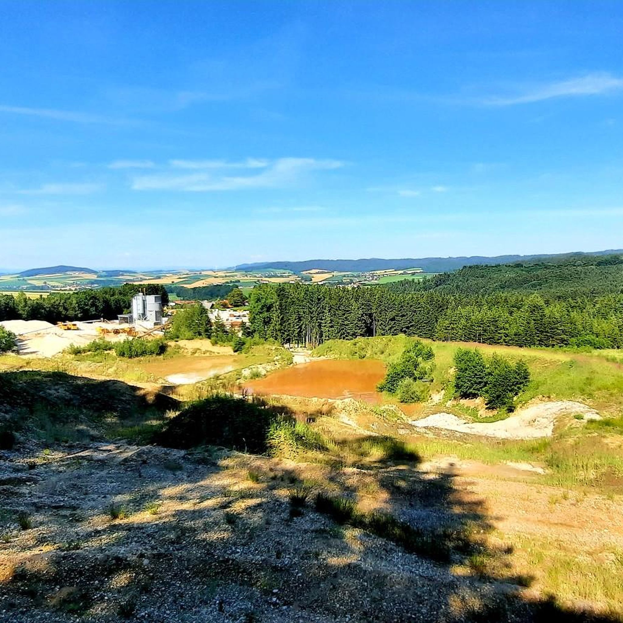
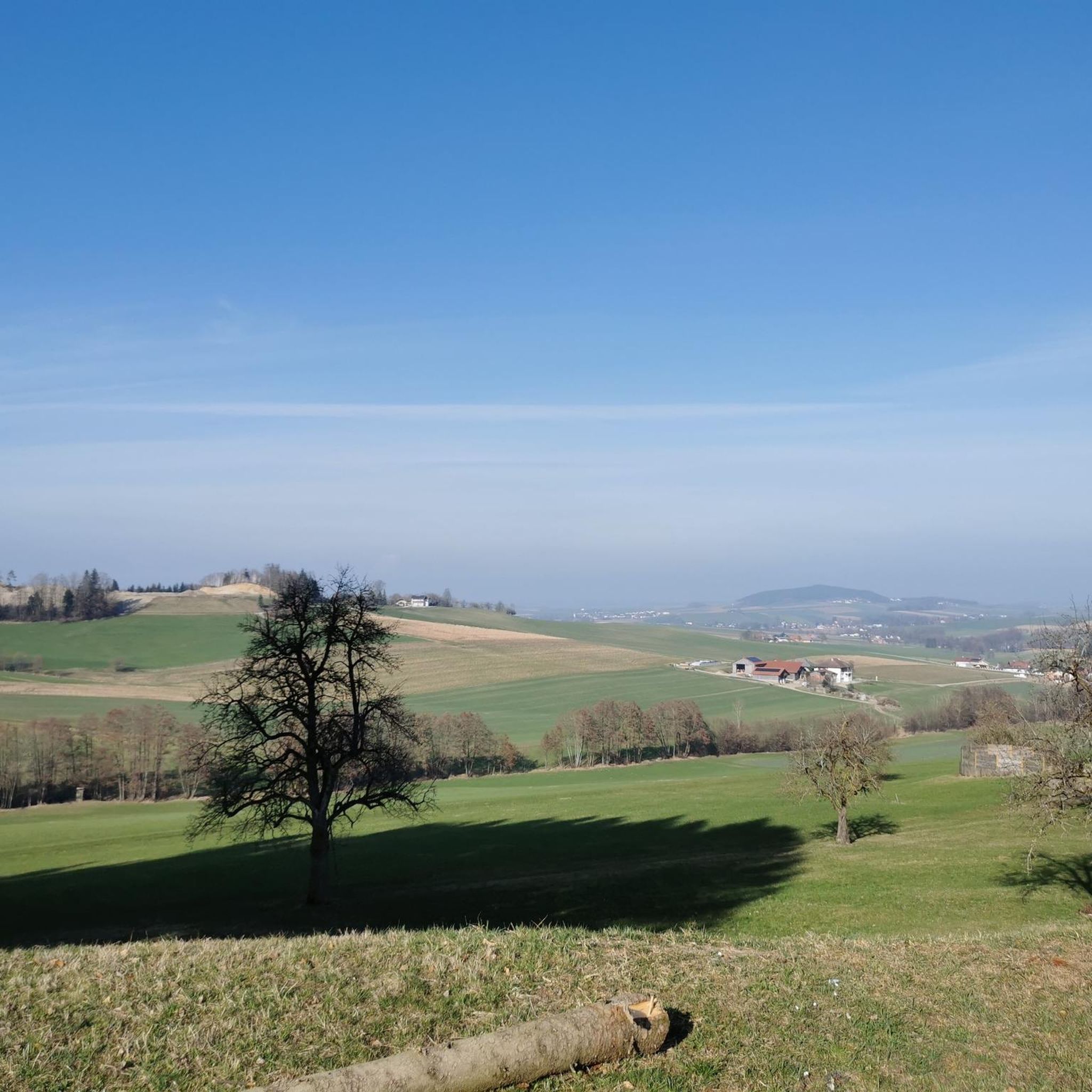
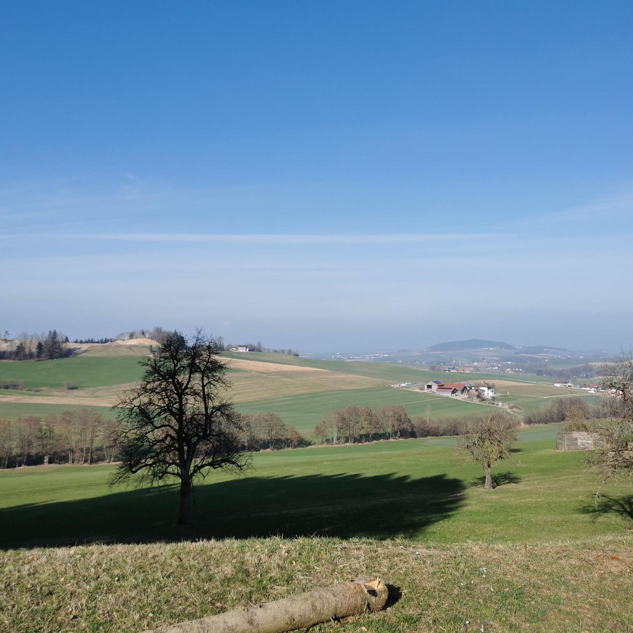
Tips from the Community

Great route with many information boards about the history of Franz and his songs and poems,
0
0

Great tips and information to make you want to visit this place. Thank you for that!
1
0

ATTENTION: There are also riders on the entire routes and paths in Ampflwang. Please do NOT pass horses at full speed and drive around corners with foresight!
1
0

View opening hours at the inn in Hoblschlag on the Internet!
0
0

Fantastic all-round view after 210 steps
3
0

A unfortunately very overgrown driveway and little view to and from the cross.
2
0

From the tower you have an incredible view to the south of the mountain ranges from Upper Austria to Salzburg and Bavaria. To the north you can see a large part of the foothills of the Alps.
2
0

Frequently Asked Questions
How many running routes are available in Kobernaußerwald?
Kobernaußerwald offers a wide selection of running routes, with over 250 trails documented on komoot. These range from easy paths to more challenging runs, catering to various fitness levels.
What kind of terrain should I expect on the jogging trails in Kobernaußerwald?
The Kobernaußerwald is characterized by its vast coniferous forests and rolling hills, providing a diverse and dynamic running experience. You'll encounter varied elevation profiles, with routes winding through dense woodlands and alongside natural water sources. The highest point, Steiglberg, offers more challenging ascents.
Are there any running routes suitable for beginners or those looking for an easier jog?
Yes, Kobernaußerwald has options for all levels. While many routes are moderate, there are 16 easy running paths available. These typically feature less elevation gain and shorter distances, perfect for a relaxed run or for those new to trail running.
What do other runners say about the trails in Kobernaußerwald?
The running trails in Kobernaußerwald are highly regarded by the komoot community, boasting an average rating of 4.6 stars from over 50 reviews. Runners frequently praise the serene forested environment, the well-maintained paths, and the opportunity to immerse themselves in nature.
Are there any circular running routes in Kobernaußerwald?
Yes, many of the running paths in Kobernaußerwald are designed as circular routes, allowing you to start and finish at the same point. For example, the Running loop from Redleiten is a popular moderate circular trail covering 7.6 km.
Can I bring my dog on the running trails in Kobernaußerwald?
Generally, Kobernaußerwald's extensive forest trails are welcoming to dogs. However, it's always advisable to keep your dog on a leash, especially in areas with wildlife or near other visitors, and to check for any specific local regulations or protected zones along your chosen route.
Are there any viewpoints or scenic spots along the running routes?
Absolutely! The Kobernaußerwald offers several rewarding viewpoints. The Kobernaußerwaldwarte observation tower on the Steiglberg provides panoramic views. Additionally, the View of Streit Village loop from Hausruckwald offers scenic vistas of the surrounding area. The Panoramaweg Lohnsburg also provides magnificent views of the Innviertel lake district.
What is the best season for jogging in Kobernaußerwald?
The best seasons for jogging in Kobernaußerwald are spring, summer, and autumn. During these times, the weather is mild, and the landscape is vibrant with blooming plants or colorful foliage, offering a particularly pleasant and scenic running experience. The dense forest also provides welcome shade in summer.
Are there any family-friendly running or walking trails in the region?
Yes, Kobernaußerwald features family-friendly themed hiking trails with interactive stations, which can also be enjoyed as leisurely runs or walks. These trails often provide information on local flora, fauna, and history, making them engaging for all ages.
Are there any notable natural features or landmarks to see while running?
Beyond the vast forests and rolling hills, you can discover unique natural features. The Kobernaußerwald is the source of many watercourses, adding picturesque elements to routes. Keep an eye out for the impressive 'Giant Fir' tree, one of the largest in Austria, located on the eastern border in the Weißenbachtal.
Is parking available near the running trailheads in Kobernaußerwald?
Yes, parking is generally available at various access points and trailheads throughout the Kobernaußerwald. Many villages and recreational areas bordering the forest provide designated parking facilities for hikers and runners.
Can I access the running trails in Kobernaußerwald using public transport?
While the Kobernaußerwald is a large forested area, some villages and towns on its periphery are accessible by public transport. From these points, you may be able to reach trailheads. It's recommended to check local bus schedules for specific routes and access points closest to your desired running area.
Most popular routes in Kobernaußerwald

Get inspired with the komoot mobile app


Explore more
Browse the best Running Trails & Routes in other regions.
