The best running trails in Hochleithenwald
4.6
(63)
1,825
runners
225
runs
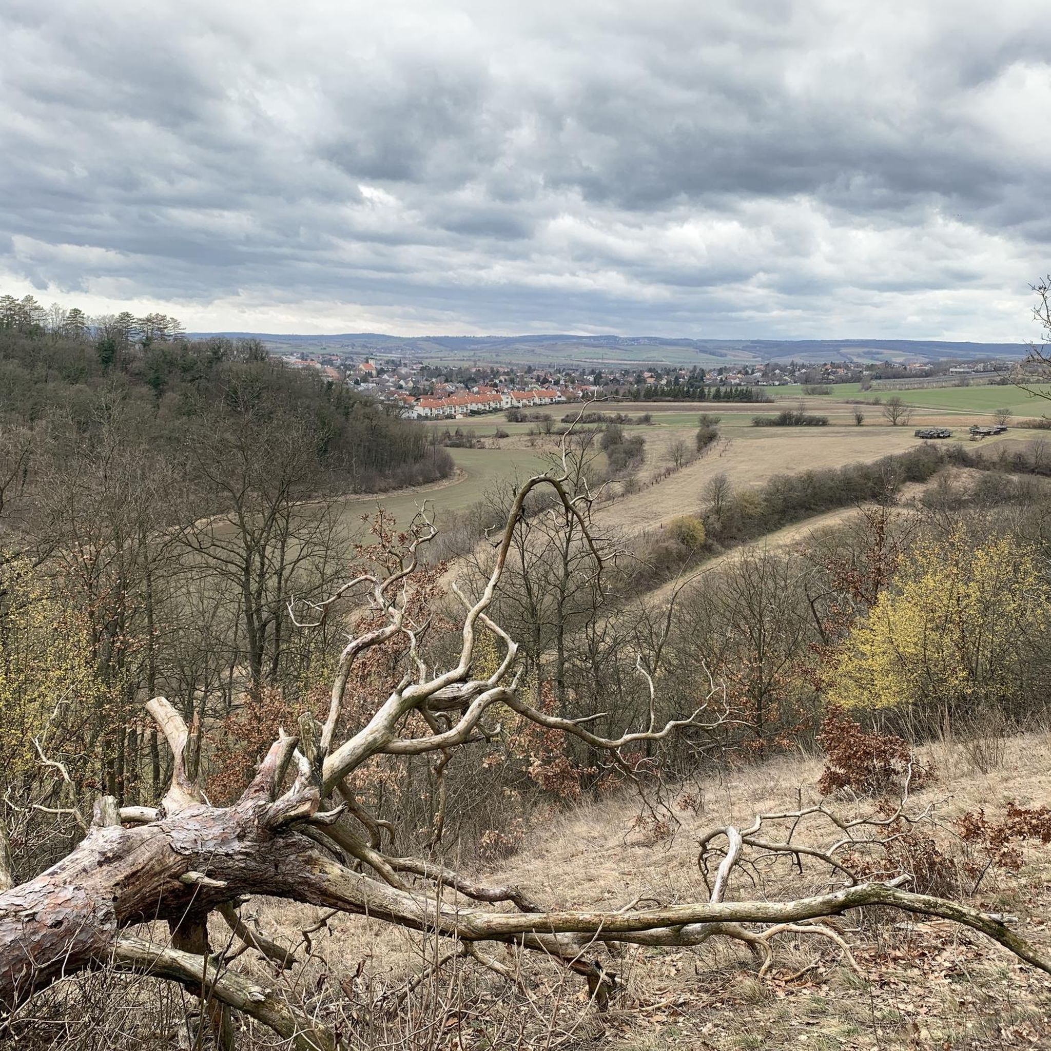
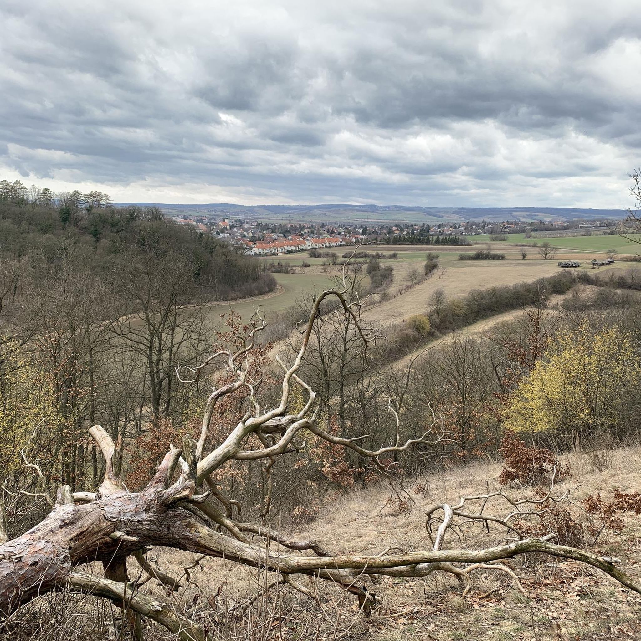
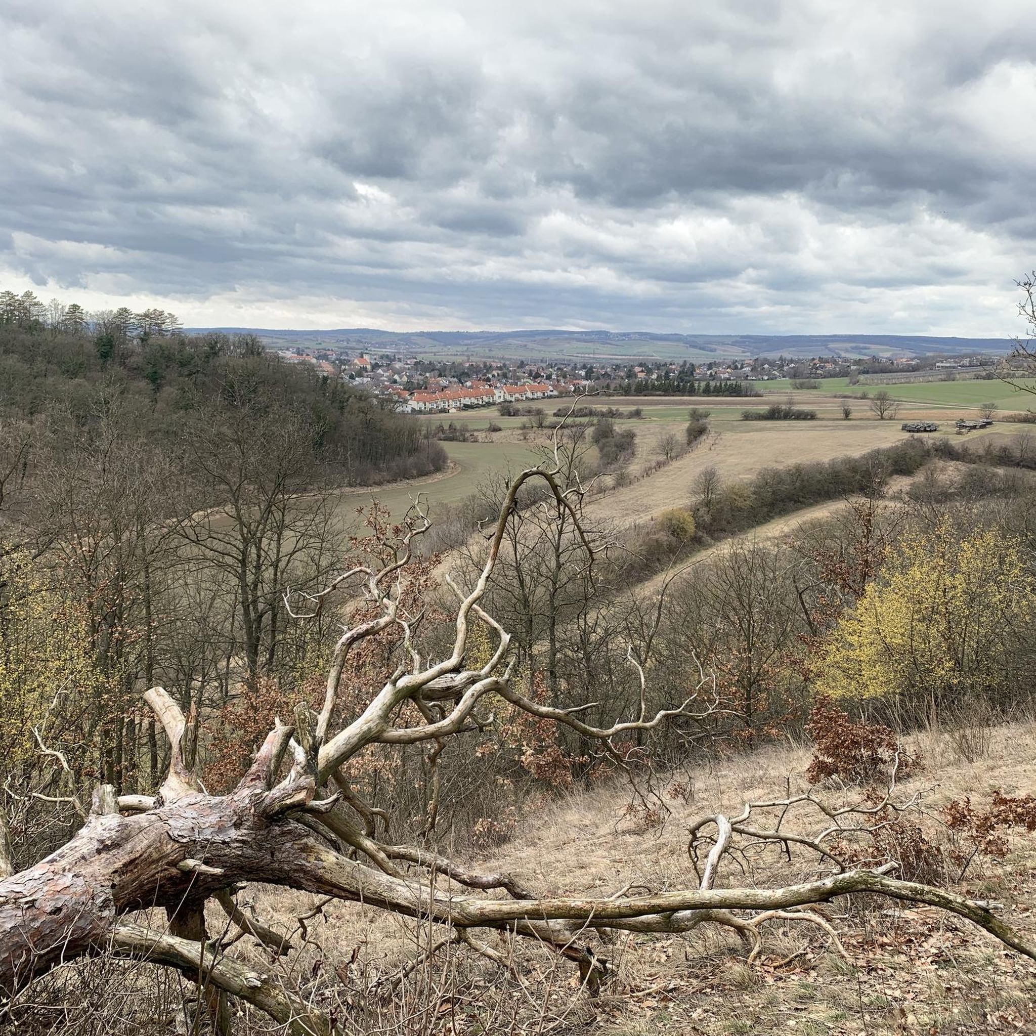
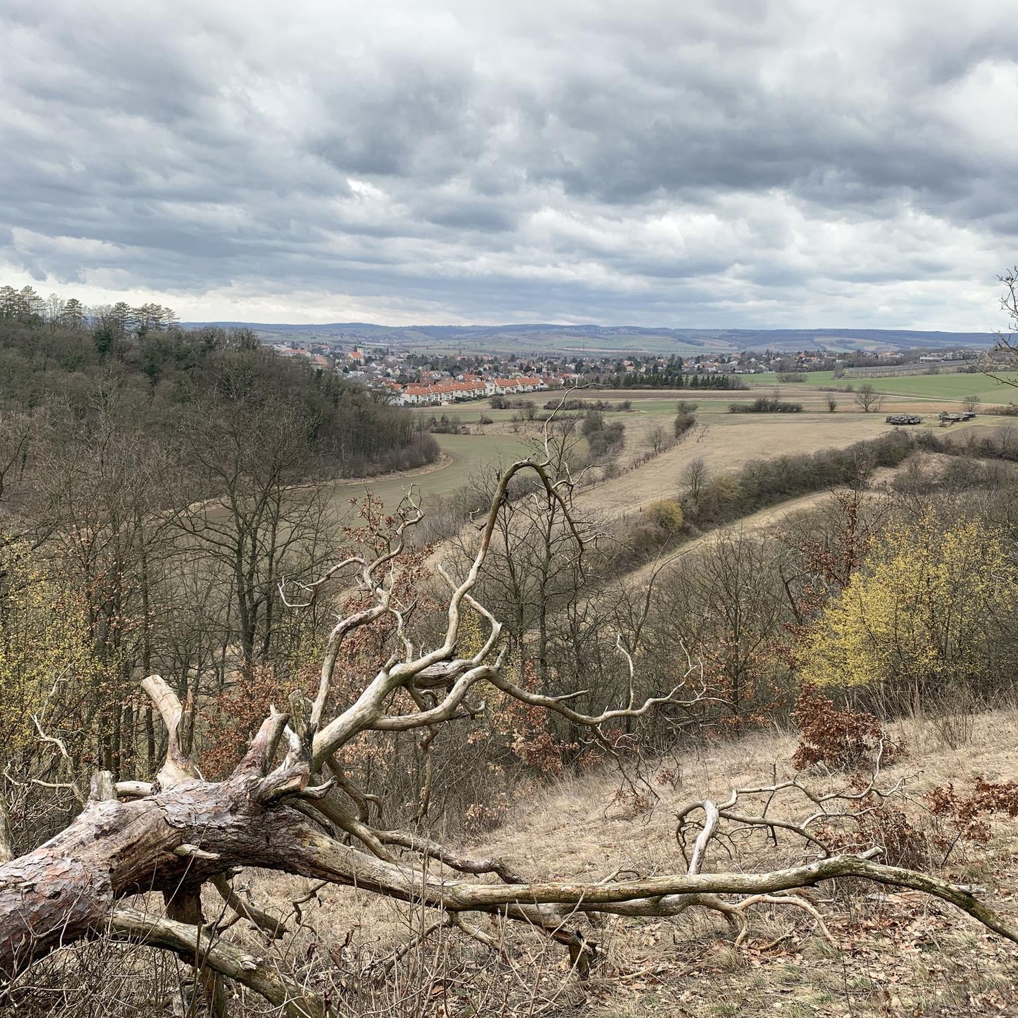
Jogging in Hochleithenwald offers varied terrain through a sprawling mixed forest in the Lower Austrian Weinviertel region. The area is characterized by rolling hills, providing diverse elevations suitable for different fitness levels. Running routes often lead through dense oak-hornbeam forest, picturesque forest edge zones, and agricultural landscapes including vineyards and orchards. This combination of natural features creates an engaging environment for outdoor activity.
Best jogging routes in Hochleithenwald
- The most popular jogging route is Small Animal Park – Dirnwoiber's Winzerkastl…
Last updated: October 5, 2026
5.0
(2)
35
runners
Moderate run. Good fitness required. Mostly paved surfaces. Suitable for all skill levels.
20
runners
Moderate run. Good fitness required. Mostly paved surfaces. Suitable for all skill levels.

4.3
(3)
16
runners
4.44km
00:30
40m
40m
Easy run. Great for any fitness level. Mostly paved surfaces. Suitable for all skill levels.
4
runners
5.36km
00:37
80m
80m
Moderate run. Good fitness required. Mostly paved surfaces. Suitable for all skill levels.
4.0
(2)
3
runners
9.29km
01:01
100m
100m
Moderate run. Good fitness required. Mostly paved surfaces. Suitable for all skill levels.
Get access to more routes and recommendations from other explorers.
Already have an account?
Our route recommendations are based on thousands of hikes, rides, and runs completed by other people on komoot.
Start today with a free account
Your next adventure awaits.
Tips from the Community

The culture of Europe rests on the pillars of Greece. Rapid technical progress rolled over iron rails.
0
0

Open 24/7, Spritzer/Grape Juice Spritzer chilled!!!
1
0


Some information about the railway line
0
0
Everything worth knowing about the railway
1
0

Nice, green and absolutely recommendable for a short break.
0
0


The castle with the water is very nice to look at.
0
0
Frequently Asked Questions
How many running routes are available in Hochleithenwald?
Hochleithenwald offers an extensive network of over 240 running routes. This includes a wide variety of trails, from easy loops to more challenging paths, ensuring options for all fitness levels.
What kind of terrain can I expect when jogging in Hochleithenwald?
You can expect diverse terrain, characteristic of the Lower Austrian Weinviertel region. Trails wind through sprawling mixed forests, particularly oak-hornbeam, and feature rolling hills that provide varied elevations. Many routes also lead through picturesque forest edge zones, charming orchards, and vineyards. Path surfaces vary, including gravel, forest, meadow paths, and some asphalt sections.
Are there running routes suitable for beginners or those looking for an easy run?
Yes, Hochleithenwald has 22 easy running routes, perfect for beginners or those seeking a relaxed pace. An example is the Running loop from Wolkersdorf im Weinviertel, a 2.8-mile (4.4 km) trail through gentle hills and forest paths, typically completed in about 30 minutes.
What do other runners enjoy most about the trails in Hochleithenwald?
The running routes in Hochleithenwald are highly rated by the komoot community, with an average score of 4.6 stars from over 50 reviews. Runners often praise the tranquility, the varied natural landscapes including mixed forests and vineyards, and the well-maintained trails that offer a peaceful escape from urban hustle. Over 1700 runners have used komoot to explore the area.
Are there any circular running routes in Hochleithenwald?
Yes, many of the running routes in Hochleithenwald are circular, allowing you to start and finish at the same point. For instance, the Small Animal Park – Dirnwoiber's Winzerkastl 724 loop from Wolkersdorf im Weinviertel is a popular moderate circular route covering 6.1 miles (9.8 km).
Can I bring my dog on the running trails in Hochleithenwald?
Generally, dogs are welcome on trails in Hochleithenwald. As it's a natural forest area, it's recommended to keep your dog on a leash, especially due to the presence of wildlife, including a significant wild boar population. Always ensure your dog is under control and respect local regulations.
Are there any family-friendly running or walking options in Hochleithenwald?
Yes, the easily accessible paths and varied terrain make Hochleithenwald suitable for families. Many easy and moderate routes can be enjoyed with children. The presence of a Forest Educational Trail also suggests paths designed for exploration and learning about the forest environment, which can be a fun addition to a family outing.
What interesting landmarks or natural features can I see along the running routes?
Along the running routes, you can encounter several interesting features. The forest itself is a highlight, being the largest oak-hornbeam forest in the Weinviertel. You might also come across historical points like the Crosses of the White Lady of Bockfließ or the Memorial Cross for the 1990 Balloon Accident. The Marian Wayside Shrine on Tetzenberg is another notable point of interest.
Is there parking available near the running trails in Hochleithenwald?
While specific parking lots are not detailed in the route descriptions, Hochleithenwald is known for its accessibility. Given its popularity for outdoor activities, you can typically find parking options in the vicinity of trailheads, particularly near the towns and villages bordering the forest, such as Wolkersdorf im Weinviertel.
What is the best time of year to go running in Hochleithenwald?
Hochleithenwald offers a pleasant running experience throughout much of the year. Spring and autumn are particularly beautiful, with vibrant foliage and comfortable temperatures. Summer provides lush green scenery, though it can be warmer. Winter running is also possible, offering a serene, quiet atmosphere, but always check local conditions for snow or ice.
Are there any routes that offer good viewpoints or scenic vistas?
Yes, the rolling hills and forest edge zones of Hochleithenwald provide opportunities for scenic views. Many trails lead through areas where the forest opens up, offering expansive vistas over the gentle hills of the Weinviertel and its agricultural landscapes, including vineyards and orchards.
How accessible is Hochleithenwald by public transport for runners?
Hochleithenwald is located approximately 15 kilometers north of Vienna, making it relatively accessible. While specific public transport connections to every trailhead are not detailed, towns like Wolkersdorf im Weinviertel, which serve as starting points for many routes, typically have public transport links, allowing for convenient access to the forest.
Most popular routes in Hochleithenwald
Most popular attractions in Hochleithenwald

Get inspired with the komoot mobile app


Explore more
Browse the best Running Trails & Routes in other regions.
