The best cycling routes in Bosco Di Monte Pidocchio
4.6
(10)
104
riders
19
rides
Touring cycling routes in Bosco Di Monte Pidocchio traverse a landscape characterized by significant elevation changes and forested areas. The region features a mix of challenging ascents and descents, with routes often following river valleys and mountain contours. Terrain typically includes paved and unpaved surfaces suitable for touring bicycles, offering varied riding experiences. The area's geography is defined by its hills and the presence of the Sangro River, providing a natural backdrop for cycling.
Best touring cycling routes in Bosco…
Last updated: July 5, 2026
3
riders
13.7km
01:01
320m
320m
Moderate bike ride. Good fitness required. Mostly paved surfaces. Suitable for all skill levels.
4.7
(3)
7
riders
Hard bike ride. Very good fitness required. Mostly paved surfaces. Suitable for all skill levels.

Sign up for free
15.7km
01:29
550m
550m
Hard bike ride. Very good fitness required. You may need to push your bike for some segments of this route.
5.0
(1)
11
riders
46.1km
03:09
800m
800m
Hard bike ride. Very good fitness required. Mostly paved surfaces. Suitable for all skill levels.
7
riders
54.5km
03:54
1,120m
1,120m
Hard bike ride. Very good fitness required. Mostly paved surfaces. Suitable for all skill levels.
Get access to more routes and recommendations from other explorers.
Sign up for free
Already have an account?
Our route recommendations are based on thousands of hikes, rides, and runs completed by other people on komoot.
Start today with a free account
Your next adventure awaits.
Login or Signup
Tips from the Community

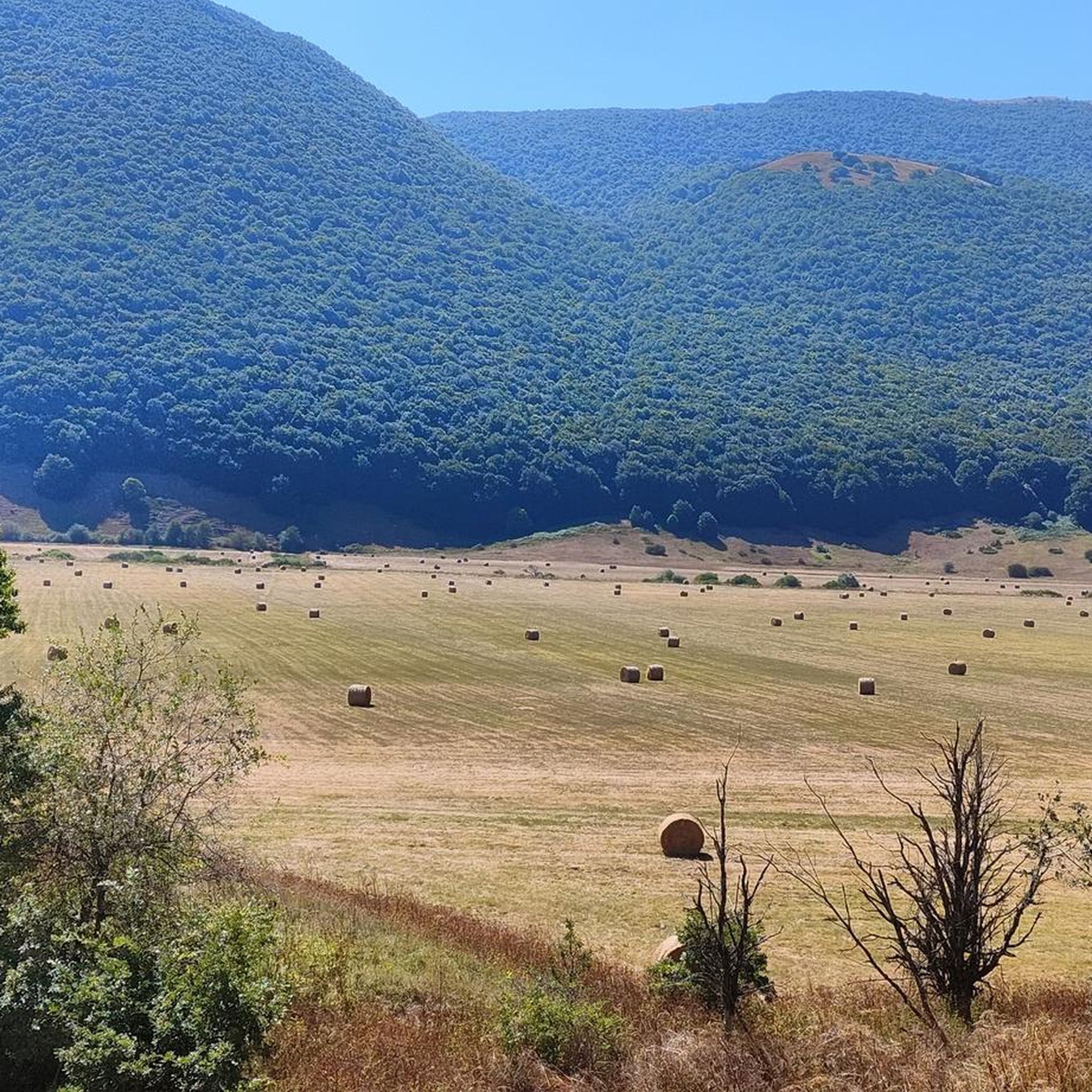
The Gamberale Viewpoint is a breathtaking natural terrace located at the highest point of the village, offering an extraordinary view spanning the Sangro Valley and the rugged peaks of the Majella and neighboring Molise. This panoramic vantage point, suspended between sky and rock, allows you to take in a vast horizon of dense forests and small hilltop villages, offering a sense of absolute peace and a privileged perspective on the wild heart of the Apennines.
0
0
The scenic road leading to Pennadomo is a journey of rare beauty that winds through the wild landscapes of the province of Chieti, offering spectacular views of the spectacular limestone cliffs that characterize the village. The route allows you to admire the intense blue of the lake and the jagged profile of the surrounding mountains from above, transforming the journey into an unforgettable visual experience amidst vertical rock faces and pristine nature.
0
0
Here you'll find three large crosses depicting the crucifixion of Jesus and the two thieves. For those living in Bagnaturo and Sulmona, they're a constant visual reference: looking up at the mountain from below, they stand out clearly against the ridge. Beyond their spiritual significance, this site is renowned for the incredible panoramic view it offers of the Peligna Valley; once you reach them, you feel as if you're standing on a natural terrace suspended in the void. The crosses are often illuminated for special occasions or religious holidays, making them visible even at night from across the valley below.
0
0

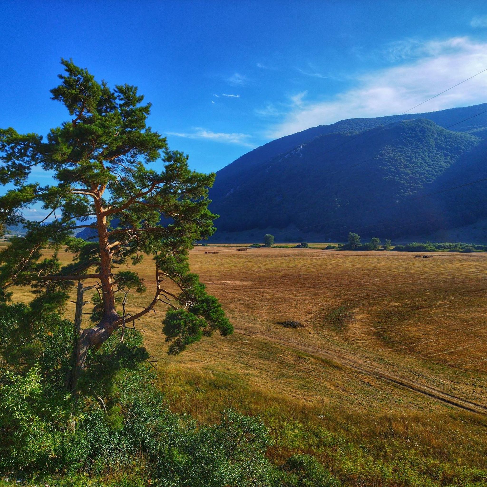
Montealpiano is a small, quiet village on the slopes of Mount Morrone, in a panoramic position overlooking the Peligna Valley, just a short distance from Sulmona. Surrounded by pristine nature, amidst woods and mountain trails, it's an ideal destination for those seeking an authentic and rejuvenating atmosphere away from the hustle and bustle of the city.
0
0

Pietraferrazzana is the smallest town in Abruzzo with its 130 inhabitants in a handkerchief of rock
0
0
Villa Santa Maria is famous throughout the world for its Hotel Institute, now known as the School of Chefs.
0
0

100 meters before the hill there is the station bar, an excellent refreshment point for sandwiches and trattoria
0
0
beautiful route to reach Pennadomo
0
0
Frequently Asked Questions
How challenging are the touring cycling routes in Bosco Di Monte Pidocchio?
The touring cycling routes in Bosco Di Monte Pidocchio are predominantly challenging, with 12 out of 14 routes rated as difficult. The terrain features significant elevation changes, including substantial ascents and descents, often following river valleys and mountain contours. There are also 2 moderate routes available for those seeking a slightly less strenuous ride.
What are the typical distances and durations for touring cycling routes here?
Routes vary significantly in length and duration. For instance, the Sangro River – Sangro River Swimming Area loop from Civitaluparella is a difficult 46.0-mile (74.1 km) trail that typically takes around 4 hours 55 minutes. A shorter, yet still difficult, option is the Scenic loop from Fallo, which is 9.8 miles (15.7 km) long. The Fanzago Palace – Forchetta Pass loop from Gamberale covers 28.7 miles (46.1 km) and takes about 3 hours 9 minutes.
Are there any family-friendly touring cycling routes in Bosco Di Monte Pidocchio?
Given the region's characteristics of significant elevation changes and a majority of routes rated as difficult, Bosco Di Monte Pidocchio is generally more suited for experienced touring cyclists. There are no routes specifically classified as 'easy' in the area, and only two are rated 'moderate'. Families with younger children or those new to touring cycling might find the terrain quite demanding.
What options are there for experienced touring cyclists seeking a challenge?
Bosco Di Monte Pidocchio is an excellent destination for experienced touring cyclists. The region is defined by challenging ascents and descents through forested hills and river valleys. Most of the 14 available routes are rated as difficult. Consider the Sangro River – Sangro River Swimming Area loop from Civitaluparella for a substantial 46-mile ride with significant elevation gain, or the Church of Villa Santa Maria – Pennadomo Rocky Hill loop from Villa Santa Maria for another demanding option.
When is the best time of year for touring cycling in Bosco Di Monte Pidocchio?
The best time for touring cycling in Bosco Di Monte Pidocchio is typically during spring and autumn when temperatures are milder and the natural scenery is vibrant. Summer can also be suitable, but be prepared for warmer weather, especially on longer climbs. Winters can bring colder temperatures and potentially snow at higher elevations, making cycling more challenging.
Can I expect scenic viewpoints on the touring cycling routes?
Yes, the routes in Bosco Di Monte Pidocchio often traverse river valleys and mountain contours, providing numerous opportunities for scenic views. The region's forested hills and the presence of the Sangro River create a beautiful natural backdrop. For example, the Scenic loop from Fallo is specifically highlighted for its scenic vistas.
Are there circular touring cycling routes available?
Yes, many of the touring cycling routes in Bosco Di Monte Pidocchio are designed as loops, allowing you to start and finish at the same point. Examples include the popular Sangro River – Sangro River Swimming Area loop from Civitaluparella, the Scenic loop from Fallo, and the Lago di Sant'Angelo – View of Casoli loop from Gessopalena.
What kind of terrain will I encounter on the touring cycling routes?
The terrain in Bosco Di Monte Pidocchio is varied, featuring a mix of paved and unpaved surfaces. You can expect to ride on roads that wind through forested areas, along river valleys, and over hills. The significant elevation changes mean you'll encounter both challenging climbs and rewarding descents.
What do other touring cyclists enjoy the most about touring cycling in Bosco Di Monte Pidocchio?
The komoot community highly rates touring cycling in Bosco Di Monte Pidocchio, with an average score of 4.3 stars from about 10 reviews. Cyclists often praise the challenging nature of the routes, the beautiful forested landscapes, and the scenic views along the river valleys. The varied terrain offers a rewarding experience for those seeking an active outdoor adventure.
Are there any moderate touring cycling routes in the area?
While most routes are difficult, there are two moderate touring cycling routes available in Bosco Di Monte Pidocchio. One such option is the Lago di Sant'Angelo – View of Casoli loop from Gessopalena, which covers 12.6 miles (20.3 km) and involves about 420 meters of elevation gain, typically completed in around 1 hour 26 minutes. This route offers a good balance of challenge and accessibility.
What should I wear for touring cycling in Bosco Di Monte Pidocchio, especially in autumn?
For touring cycling in Bosco Di Monte Pidocchio, especially in autumn, layering is key due to the varied terrain and potential for changing weather. We recommend moisture-wicking base layers, a mid-layer for warmth, and a windproof/water-resistant outer shell. Gloves, a cycling helmet, and appropriate cycling shorts are essential. In autumn, consider arm and leg warmers, and perhaps a light beanie under your helmet for cooler mornings.
Are there places to stop for refreshments or food along the routes?
While the routes traverse natural and often rural areas, many villages and towns are situated along or near the cycling paths. These typically offer opportunities to find cafes, restaurants, or small shops for refreshments and food. It's always a good idea to check the specific route details on komoot or plan your stops in advance, especially on longer tours.
Most popular routes in Bosco Di Monte Pidocchio

Get inspired with the komoot mobile app


Explore more
Browse the best Cycling routes in other regions.
