The best walks and hikes in Varnikų Miškas
4.6
(357)
3,772
hikers
40
hikes
Hiking in Varnikų Miškas offers diverse natural landscapes within the Trakai Historical National Park, characterized by ancient forests, hilly terrain, and the unique Ilgelis Swamp. The region features a variety of ecosystems, including centuries-old spruces and pines, alongside lowland marshes with four remnant lakes. Hikers can explore well-preserved habitats and experience varied scenery throughout the reserve.
Best hiking trails in Varnikų Miškas
- The most popular hiking route is Varnikai Boardwalk Trail – Piliškių Lake loop from Trakai, a 2.6…
Last updated: June 26, 2026
4.9
(41)
769
hikers
4.20km
01:05
30m
30m
Easy hike. Great for any fitness level. Easily-accessible paths. Suitable for all skill levels.
4.6
(8)
98
hikers
3.85km
00:59
10m
10m
Easy hike. Great for any fitness level. Easily-accessible paths. Suitable for all skill levels.

Sign up for free
4.6
(17)
87
hikers
11.3km
02:57
90m
90m
Moderate hike. Good fitness required. Easily-accessible paths. Suitable for all skill levels.
4.4
(7)
73
hikers
6.26km
01:36
30m
30m
Easy hike. Great for any fitness level. Easily-accessible paths. Suitable for all skill levels.
3.7
(3)
6
hikers
Easy hike. Great for any fitness level. Easily-accessible paths. Suitable for all skill levels.
Get access to more routes and recommendations from other explorers.
Sign up for free
Already have an account?
Our route recommendations are based on thousands of hikes, rides, and runs completed by other people on komoot.
Start today with a free account
Your next adventure awaits.
Login or Signup
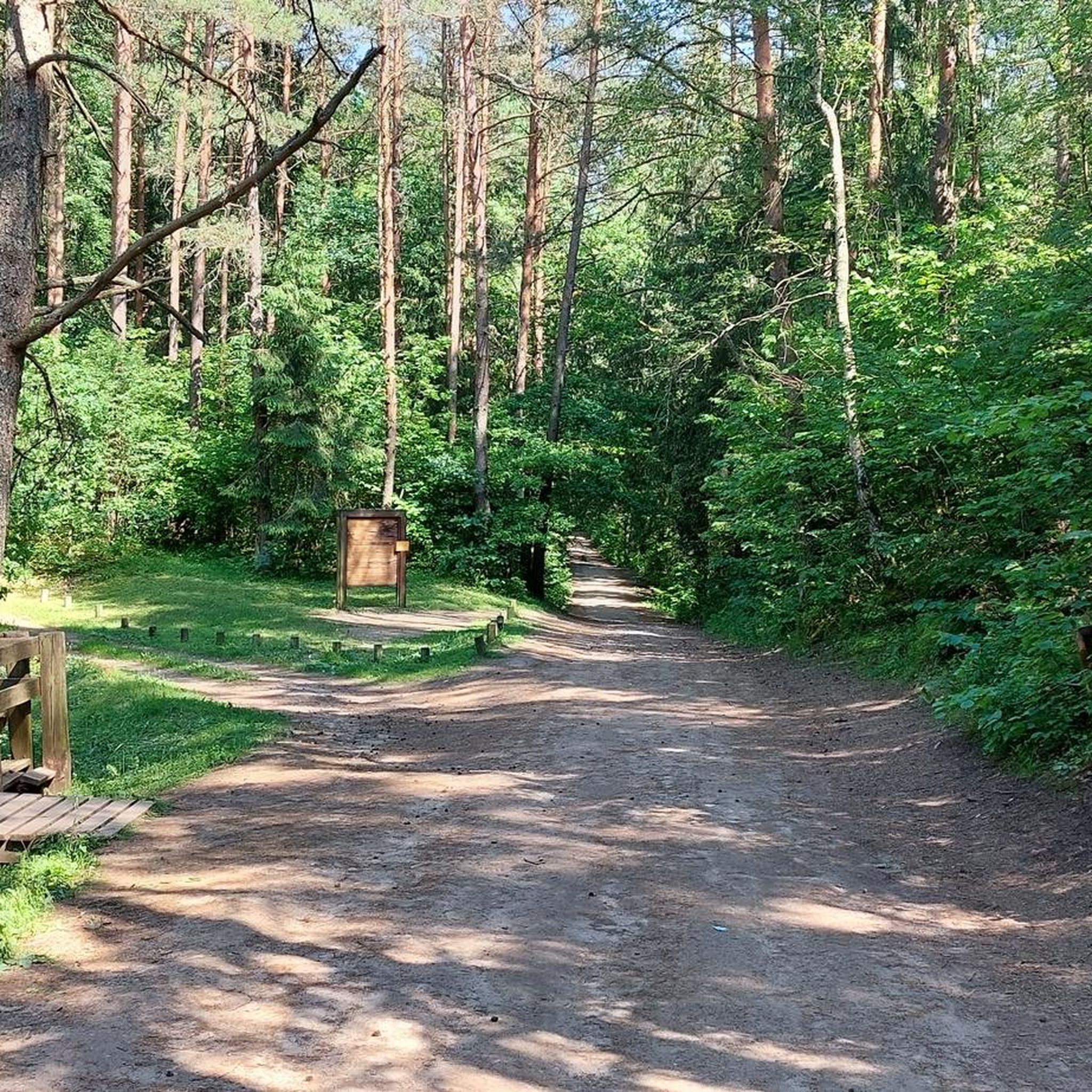
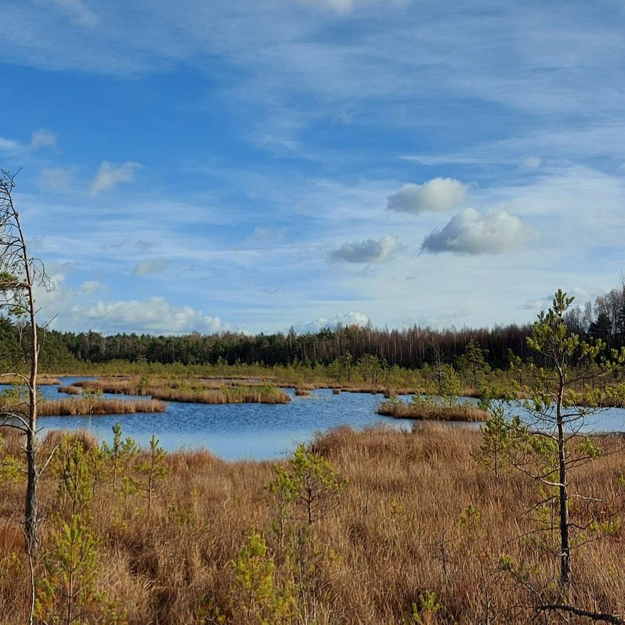
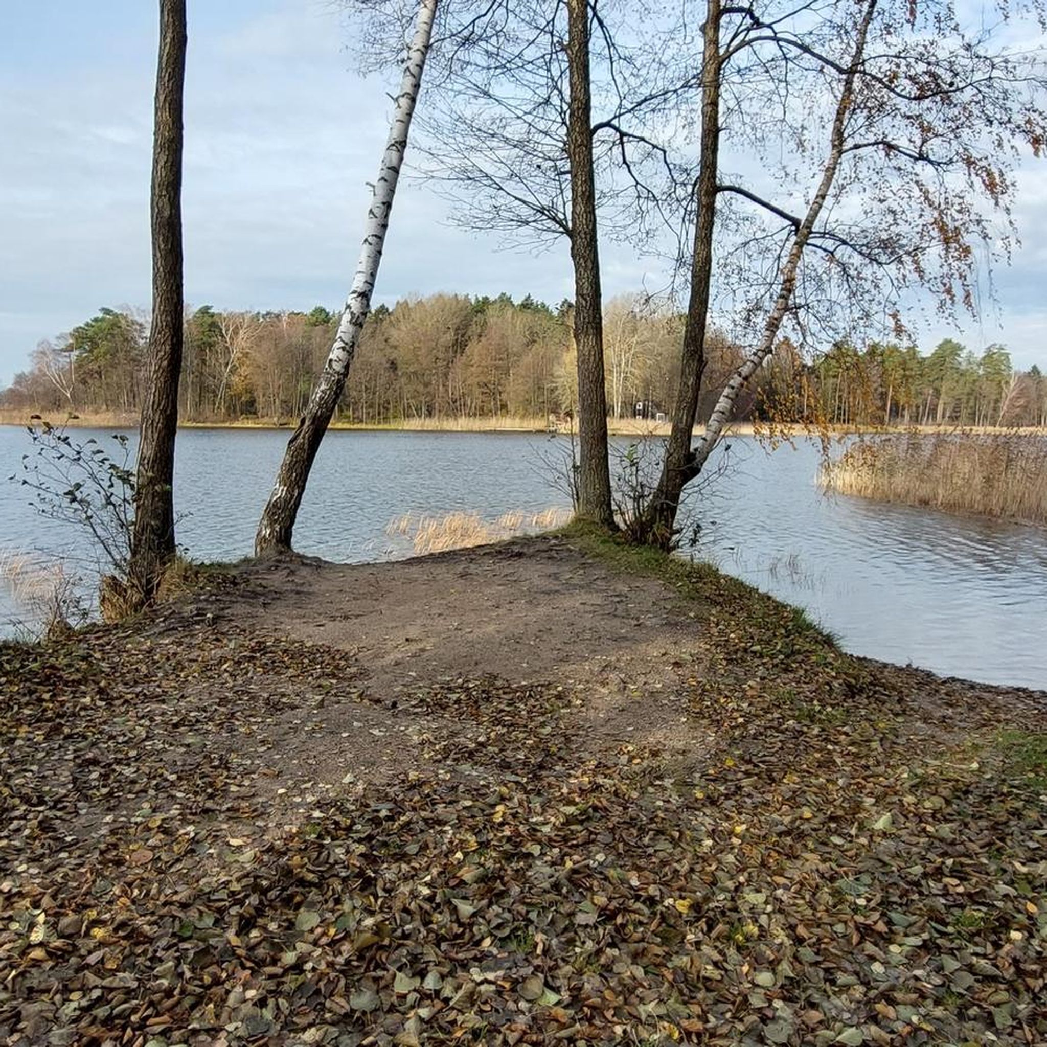
Tips from the Community

Karaims. Trakai was settled by Karaims in the second half of the 15th century. The official date of settlement is between 1397 and 1398. The language of the Karaims belongs to the Turkic language family. The ethnic name originates from the Karaite faith. Their religion shows features of Islam, they adhere to the Pentateuch of the Old Testament. The prayer house of the Karaims, the Karaite Kenesa (from Karaite "Temple"), has survived. In 1894 the new wooden Kenesa was built, after the renovation from 1903 to 1904 it received its new appearance. It is beautiful to hear about the history and religion of this small people from an old Karaite in this church. The houses of the Karaims are located in a residential area. For a long time, this district was called "Little Town". Since 1441, the Karaite community enjoyed the privilege of self-government. Karaite houses are easy to distinguish, as they stand with their gable facing the street and have three windows. The Karaite national dish Kibinai and other dishes, as well as the drink Krupnik, can be tasted today in Karaite restaurants. The ethnographic exhibition of the Karaims, Karaimy g. 22. This unique exhibition tells about the history and life of the national minority of the Karaims in Lithuania and in the city
1
0

The street is now very pedestrian-friendly and has significantly fewer cars.
0
0
It is a challenge to walk around the entire lake along the shore. On the opposite side from Trakai, there are many bushes and illegal fences.
0
0

The castle is worth visiting, as is the entire beautiful Trakai.
0
0

Walking across the footbridge to this reconstructed castle complex, we feel like we're at Seeschloß Ort in Gmunden. A very interesting museum.
0
0

The panoramic view is outstanding!!!
1
0

Frequently Asked Questions
How many hiking trails are available in Varnikų Miškas?
Varnikų Miškas offers a wide selection of routes, with over 40 hiking trails to explore. These range from easy strolls to more challenging paths, ensuring there's something for every hiker.
What is the overall difficulty level of hiking in Varnikų Miškas?
The trails in Varnikų Miškas cater to various skill levels. You'll find approximately 26 easy routes, 10 moderate trails, and 4 more difficult options, providing diverse experiences for all hikers.
What do other hikers say about the trails in Varnikų Miškas?
The komoot community highly rates the trails in Varnikų Miškas, with an average score of 4.5 stars from over 300 reviews. Hikers often praise the diverse natural landscapes, the unique boardwalk through the Ilgelis Swamp, and the well-maintained paths.
What natural features can I expect to see while hiking in Varnikų Miškas?
Varnikų Miškas is known for its diverse ecosystems, including ancient oak groves, centuries-old spruces and pines, and the mystical Ilgelis Swamp. The swamp features a 1.5-kilometer-long wooden boardwalk, allowing you to traverse this unique marshy wonderland and observe its distinct flora and fauna. You'll also encounter four remnant lakes within the swamp: Baluošas, Bevardis, Piliškių, and Ilgelis.
Are there any specific landmarks or points of interest along the trails?
Yes, several points of interest enhance the hiking experience. You can visit Piliškių Lake, explore the historical Varnikų Hillfort (Veršupka), or enjoy panoramic views from the Observation Deck on the Varnikai Educational Trail. The Varnikų Nature Trail itself is a highlight, offering information boards about the local environment.
Are dogs allowed on the hiking trails in Varnikų Miškas?
While Varnikų Miškas is a protected area within the Trakai Historical National Park, dogs are generally allowed on trails if kept on a leash. Always ensure your dog is under control and respect local wildlife and other hikers. It's advisable to check for any specific signage at the trailhead regarding pet regulations.
Are the trails in Varnikų Miškas suitable for families with children?
Yes, Varnikų Miškas is very family-friendly. The main trailhead offers amenities like parking and a children's playground. Many trails, such as the Varnikai Boardwalk Trail – Piliškių Lake loop from Trakai, are easy and feature engaging elements like the wooden boardwalk, making them enjoyable for all ages. Information boards along the trails also provide educational insights.
Is there parking available at the trailheads in Varnikų Miškas?
Yes, the main trailhead for the Varnikai Nature Trail is easily accessible and offers dedicated parking facilities, making it convenient for visitors arriving by car.
What is the best time of year to hike in Varnikų Miškas?
Varnikų Miškas offers a unique experience in every season. Spring brings blooming flora, summer provides lush greenery, and autumn showcases vibrant foliage. Even winter offers a magical landscape with frozen swamps and animal tracks in the snow. Early mornings with fog or before sunset are particularly enchanting times to visit.
Are there any circular hiking routes in Varnikų Miškas?
Yes, many of the trails in Varnikų Miškas are designed as loops, allowing you to start and end at the same point. A popular example is the Varnikai Boardwalk Trail – Piliškių Lake loop from Old Town, which offers a comprehensive experience of the area's natural beauty.
How long does it take to hike the main trails in Varnikų Miškas?
The duration of hikes varies depending on the trail. For instance, the popular Varnikai Boardwalk Trail – Piliškių Lake loop from Trakai, which is about 4.2 km, typically takes around 1 hour and 5 minutes. Longer routes like the Piliškių Lake – Varnikai Boardwalk Trail loop from Matiškė, at 11.3 km, can take approximately 2 hours and 57 minutes.
Are there any fees or permits required to hike in Varnikų Miškas?
Generally, there are no specific fees or permits required for hiking the public trails within Varnikų Miškas. As part of the Trakai Historical National Park, the area is open for visitors to enjoy its natural beauty. However, it's always good practice to check the official Trakai Historical National Park website for any updated regulations or specific event-related fees.
What kind of wildlife might I encounter while hiking?
Varnikų Miškas is rich in biodiversity. You might spot various bird species, including woodlarks, thrush nightingales, golden orioles, and even common cranes. Mammals such as deer and wild boar also inhabit the reserve. The area is a protected habitat, so observing wildlife from a distance is encouraged.
Can I reach Varnikų Miškas using public transport?
Yes, Varnikų Miškas is accessible by public transport, particularly from nearby Trakai. While specific bus routes might vary, Trakai itself is well-connected, and from there, you can often reach the reserve's vicinity by local transport or a short walk/taxi ride. For detailed information on public transport options to the trailhead, it's best to consult local transport schedules.
Most popular attractions in Varnikų Miškas

Get inspired with the komoot mobile app


Explore more
Browse the best Hikes in other regions.
