The best walks and hikes around Goldkronacher Forst
4.6
(16106)
59,707
hikers
1,688
hikes
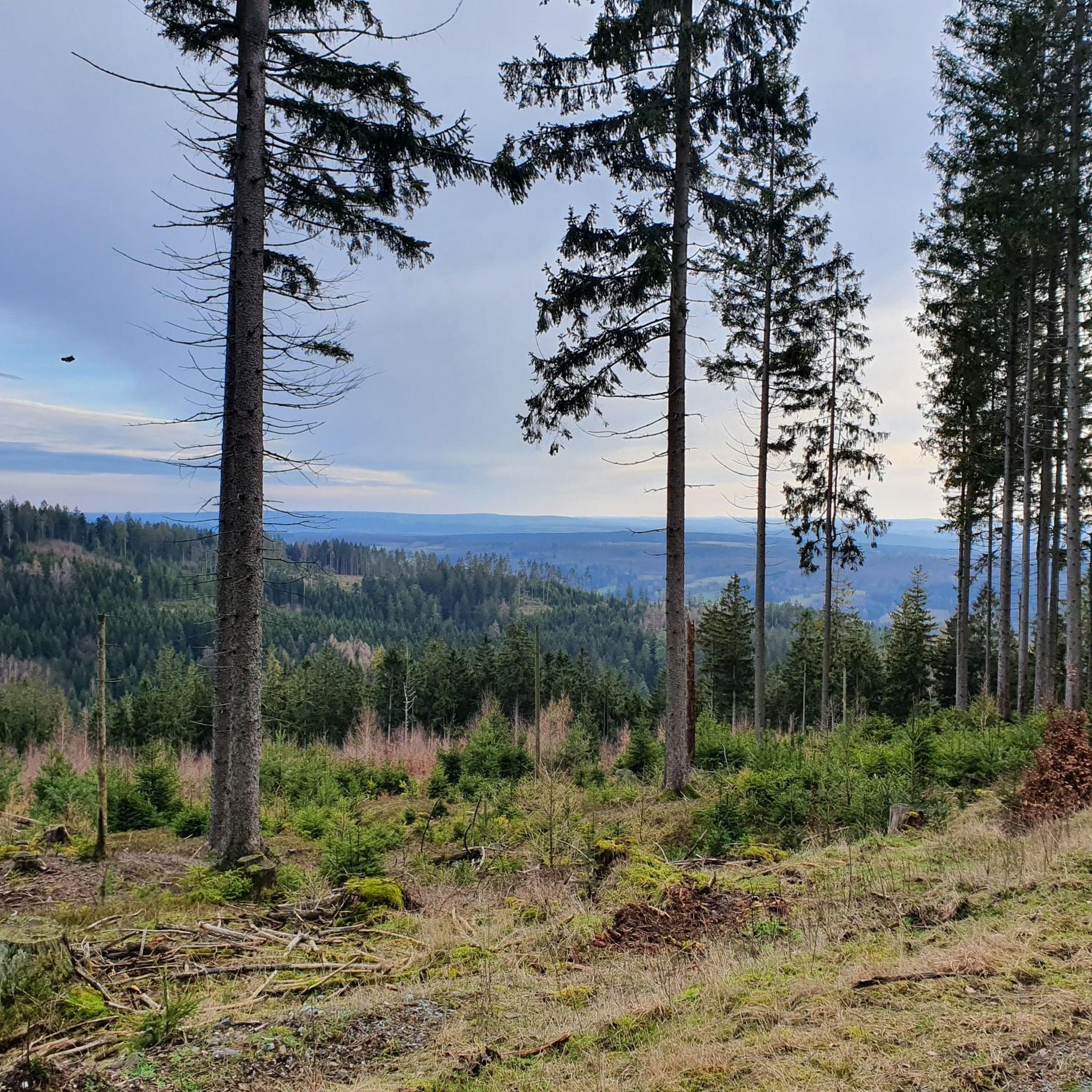
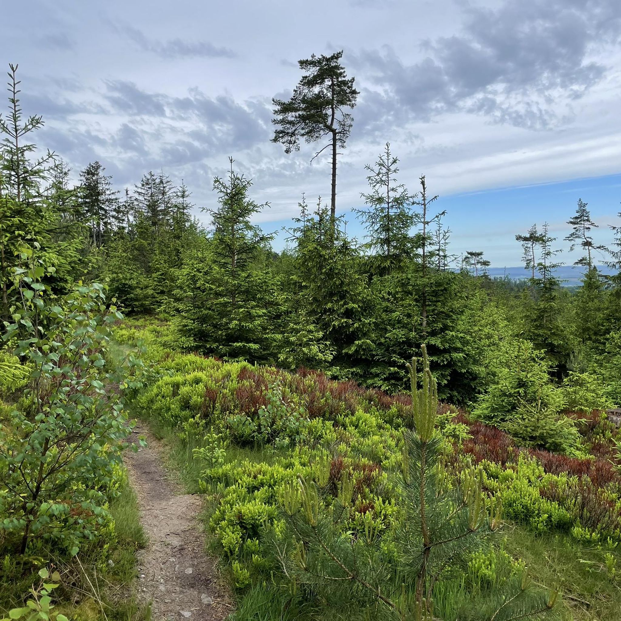
Hiking around Goldkronacher Forst offers a network of trails through dense woodlands and varied terrain. The region is characterized by its forested hills and natural rock formations, providing a diverse landscape for outdoor exploration. Elevation changes are present on many routes, leading to viewpoints and interesting natural landmarks. This area provides opportunities for both easy hikes and more challenging routes.
Best hiking trails around Goldkronacher Forst
- The most popular hiking route is Goldberg Visitor Centre – Fürstenstein Rock Formation loop…
Last updated: September 23, 2026
4.9
(10)
44
hikers
7.70km
02:25
270m
270m
Moderate hike. Good fitness required. Easily-accessible paths. Suitable for all skill levels.
4.1
(8)
33
hikers
8.10km
02:11
100m
100m
Moderate hike. Good fitness required. Easily-accessible paths. Suitable for all skill levels.

3.8
(4)
17
hikers
Moderate hike. Good fitness required. Mostly accessible paths. Sure-footedness required.
4.0
(5)
15
hikers
6.12km
01:50
190m
190m
Easy hike. Great for any fitness level. Easily-accessible paths. Suitable for all skill levels.
3.7
(6)
10
hikers
Easy hike. Great for any fitness level. Easily-accessible paths. Suitable for all skill levels.
Get access to more routes and recommendations from other explorers.
Already have an account?
Our route recommendations are based on thousands of hikes, rides, and runs completed by other people on komoot.
Start today with a free account
Your next adventure awaits.

Tips from the Community

A worthwhile stop with small dishes, snacks, and drinks (draft beer!). Nicely decorated, the price-performance ratio is right. Open Sundays and public holidays from 11 am to 6 pm, from the end of April to early/mid-October.
0
0

Great option for transporting bicycles!
2
0


Blissful peace and quiet... short break, refreshments, pack up the rubbish and off we go!
1
0

At the Schmutzlerzeche there is a water drainage that invites you to gold panning
1
0
A lovely spot, even if you're there outside of opening hours. Thanks to the gate, you can see the beginning of the tunnel. There are benches, a fountain, a hut, and a gold panning area all around.
1
0

The second-largest mountain in the Fichtelgebirge is great for the whole family. Those with children or those less able to walk can take the gondola up.
0
4

Frequently Asked Questions
How many hiking trails are available in Goldkronacher Forst?
Goldkronacher Forst offers a vast network of over 1,700 hiking routes. This includes a diverse range of trails, from easy strolls to more challenging ascents, ensuring there's something for every hiker.
Are there easy hiking trails suitable for beginners or families in Goldkronacher Forst?
Yes, Goldkronacher Forst has nearly 900 easy routes perfect for beginners or families. An excellent option is the Hiking loop from Goldmühl, which is an easy 3.8-mile (6.1 km) trail.
What kind of terrain will I encounter on hikes in Goldkronacher Forst?
The region is characterized by dense woodlands, forested hills, and natural rock formations. You can expect varied terrain with elevation changes on many routes, leading to interesting natural landmarks and viewpoints.
Are there any circular hiking routes in Goldkronacher Forst?
Many routes in Goldkronacher Forst are designed as loops. For example, the Goldberg Visitor Centre – Fürstenstein Rock Formation loop from Goldkronach is a popular moderate circular trail covering 4.7 miles (7.5 km).
What are some notable natural attractions or viewpoints to see while hiking?
Hikers can discover several natural attractions and viewpoints. The Asenturm on the Ochsenkopf offers panoramic views, and the Nusshardt Summit and Rock Formations are also worth exploring. Many trails lead past unique rock formations like the Fürstenstein.
What do other hikers enjoy most about Goldkronacher Forst?
The area is highly rated by the komoot community, with an average score of 4.6 stars from over 14,000 reviews. Hikers often praise the quiet woodlands, varied terrain, and the opportunity to discover natural rock formations and scenic viewpoints.
Are there any trails that lead to mountain peaks or summits?
Yes, some trails in the Goldkronacher Forst area lead to significant peaks. The Ascent to the Ochsenkopf – Asenturm on the Ochsenkopf loop from Grassemann is a moderate 5.5-mile (8.8 km) path that takes you up to the Ochsenkopf, where you can visit the Asenturm.
Where can I find information about parking for hiking trails?
Many trailheads in Goldkronacher Forst, especially those starting from towns like Goldkronach or Grassemann, offer designated parking areas. It's advisable to check the specific tour details on komoot for parking information related to your chosen route.
Are there any longer, more challenging hikes available?
While many routes are easy to moderate, there are also more challenging options. For instance, the Fürstenstein Rock Formation – Three Shepherds' Stone loop from Goldkronach is a moderate 8.4-mile (13.5 km) trail that takes about 4 hours to complete, featuring significant elevation changes.
Can I find any natural water features like springs or lakes along the trails?
Yes, the region is home to several natural water features. You can find the Weißmain Spring and the Fichtelnaab Spring, as well as the Karchesweiher lake, which can be points of interest on various hikes.
What is the best time of year to go hiking in Goldkronacher Forst?
Goldkronacher Forst is enjoyable throughout much of the year. Spring brings lush greenery, summer offers pleasant forest shade, and autumn transforms the landscape with vibrant colors. Winter hiking is also possible, though conditions may vary.
Most popular routes around Goldkronacher Forst
Most popular attractions around Goldkronacher Forst

Get inspired with the komoot mobile app


Explore more
Browse the best Hikes in other regions.
