The best running trails in Untereichet
4.0
(26)
672
runners
97
runs
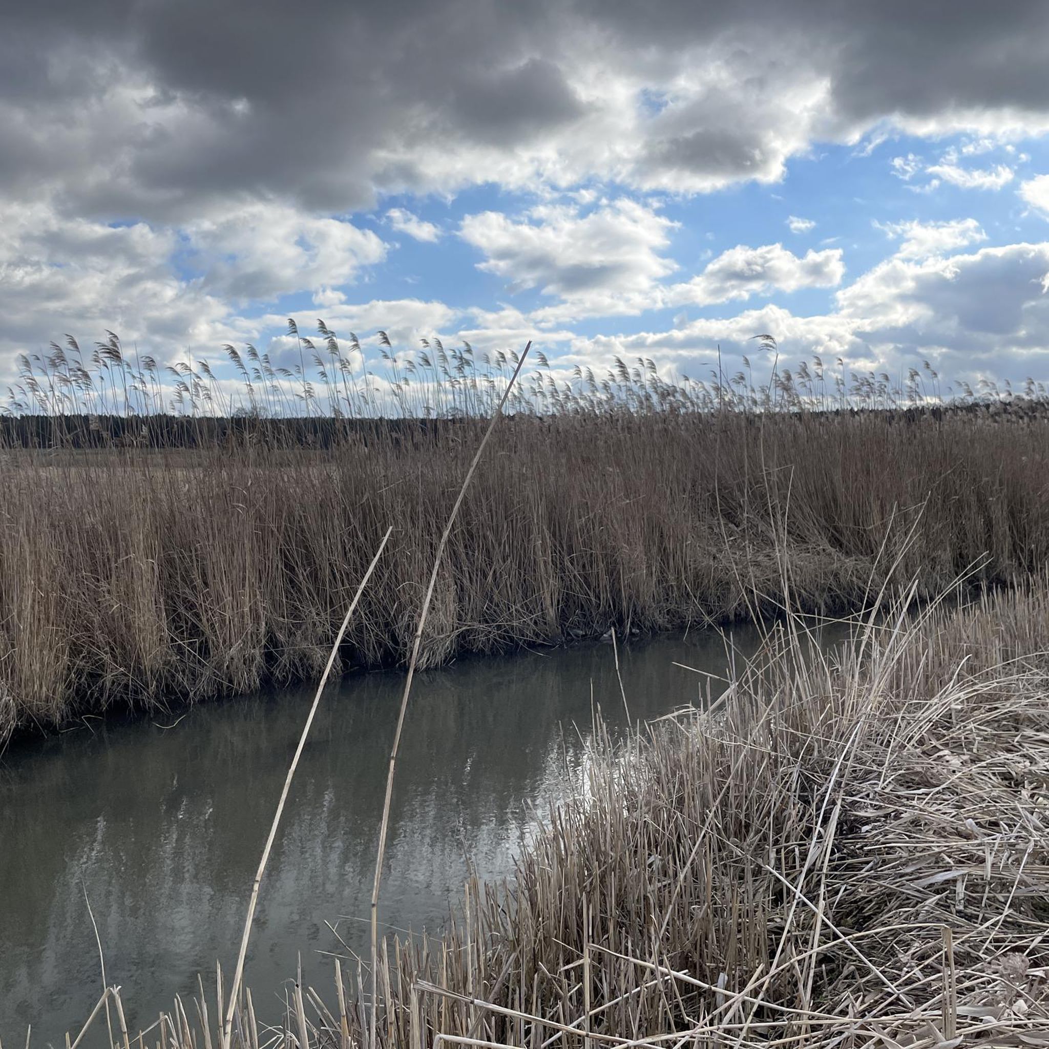
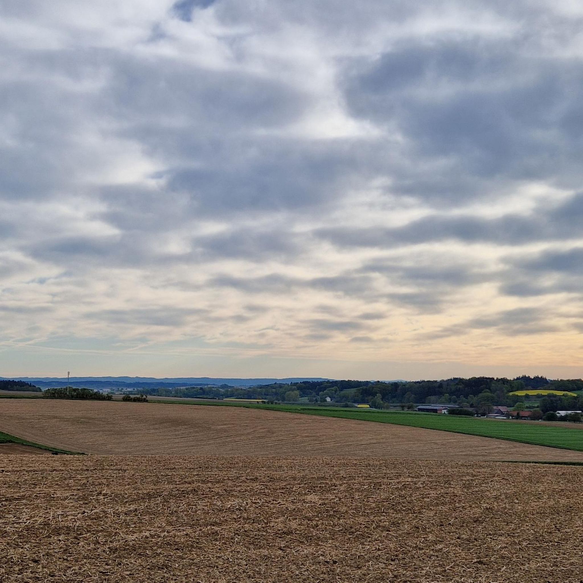
Jogging routes in Untereichet traverse a landscape characterized by gentle rolling terrain and extensive forest areas. The region offers a mix of open fields and shaded woodlands, providing varied scenery for runners. Elevation changes are generally mild, making many paths accessible for different fitness levels. The area's natural setting provides a tranquil environment for outdoor activity.
Best jogging routes in Untereichet
- The most popular jogging route is Running loop from Obermühle, a 4.4 miles (7.0 km) trail that takes…
Last updated: July 5, 2026
14
runners
7.04km
00:44
30m
30m
Moderate run. Good fitness required. Mostly paved surfaces. Suitable for all skill levels.
6
runners
15.9km
01:48
130m
130m
Hard run. Very good fitness required. Mostly paved surfaces. Suitable for all skill levels.

Sign up for free
5
runners
5.95km
00:37
10m
10m
Moderate run. Good fitness required. Mostly paved surfaces. Suitable for all skill levels.
4
runners
10.8km
01:14
150m
150m
Moderate run. Good fitness required. Mostly paved surfaces. Suitable for all skill levels.
13
runners
14.5km
01:30
70m
70m
Moderate run. Good fitness required. Mostly paved surfaces. Suitable for all skill levels.
Get access to more routes and recommendations from other explorers.
Sign up for free
Already have an account?
Our route recommendations are based on thousands of hikes, rides, and runs completed by other people on komoot.
Start today with a free account
Your next adventure awaits.
Login or Signup
Tips from the Community

Due to the roots and some narrow places, it is sometimes difficult to walk
0
0

... this trail is usually well attended
0
0
Direction hemlock along the track
0
0

Anyone who is hungry can stop here 👍🏻!
1
0

Good food, always recommended. Located right next to the church in Schierling.
1
0

Baroque chapel with crumbling plaster at the edge of the forest, exposed to decay - has a morbid charm
1
0

not what you imagine under lock, dilapidated, overgrown, but mysterious
0
0
Frequently Asked Questions
How many running routes are available in Untereichet?
Untereichet offers a wide selection of over 100 running routes, catering to various preferences and fitness levels. These trails traverse diverse landscapes, from open fields to shaded woodlands.
Are there easy jogging routes suitable for beginners in Untereichet?
Yes, Untereichet has several easy jogging routes perfect for beginners or those looking for a relaxed run. For instance, the Running loop from Niedermoor südlich Niederleierndorf is a moderate 3.7-mile (6.0 km) trail with minimal elevation change, ideal for a gentle introduction to the area's paths.
Can I find circular running routes in Untereichet?
Many of the running trails in Untereichet are designed as circular routes, allowing you to start and finish at the same point. A popular option is the Running loop from Obermühle, which is a 4.4-mile (7.0 km) loop through the local countryside.
What are the typical lengths of jogging trails in Untereichet?
Running trails in Untereichet vary significantly in length. You can find shorter routes around 3-4 miles (5-6 km), such as the Running loop from Niedermoor südlich Niederleierndorf, up to longer, more challenging paths like the Muna Forest Walk loop from Mannsdorf, which spans nearly 10 miles (16 km).
Are there family-friendly running routes in Untereichet?
The region's generally mild elevation changes and varied terrain make many paths suitable for families. Look for routes designated as 'easy' or 'moderate' with shorter distances, often found through open fields and less dense woodlands, providing a pleasant experience for all ages.
What do other runners enjoy most about jogging in Untereichet?
The running routes in Untereichet are highly rated by the komoot community, with an average score of 4.0 stars from over 20 reviews. Runners often praise the tranquil environment, the mix of open fields and shaded woodlands, and the well-maintained paths that offer varied scenery.
Are there any running routes in Untereichet that pass by historical sites or landmarks?
While specific historical sites are not detailed for every route, some trails incorporate local points of interest. For example, the Schierling Castle loop from Schierling offers a run that includes views or proximity to the historic Schierling Castle.
What is the best time of year for running in Untereichet?
Spring and autumn are generally ideal for running in Untereichet, offering pleasant temperatures and beautiful natural scenery as the landscape changes. Summer mornings and evenings are also great to avoid the midday heat, while winter running can be enjoyed on cleared paths, though some trails might be less accessible depending on snow conditions.
Are there any challenging running routes for experienced runners in Untereichet?
Yes, experienced runners seeking a challenge will find options with more significant elevation gain and longer distances. The Muna Forest Walk loop from Mannsdorf is a difficult 9.9-mile (16.0 km) path with notable elevation, perfect for a more strenuous workout.
Are there running routes in Untereichet that offer scenic viewpoints?
While specific viewpoints are not always marked, the region's gentle rolling terrain and open fields often provide expansive views of the surrounding countryside. Routes that traverse higher ground or open areas, such as those in the Muna Forest, can offer picturesque vistas.
Are there any running routes in Untereichet that explore the Muna Forest?
Yes, the Muna Forest is a prominent feature in Untereichet's running landscape. Routes like the Muna Forest Walk – St. Johann Baroque Chapel loop from Wahlsdorf offer a chance to explore this extensive woodland, often featuring varied terrain and shaded paths.
Most popular routes in Untereichet

Get inspired with the komoot mobile app


Explore more
Browse the best Running Trails & Routes in other regions.
