The best walks and hikes in Fürstenwalder Forst
4.6
(4028)
13,732
hikers
16
hikes
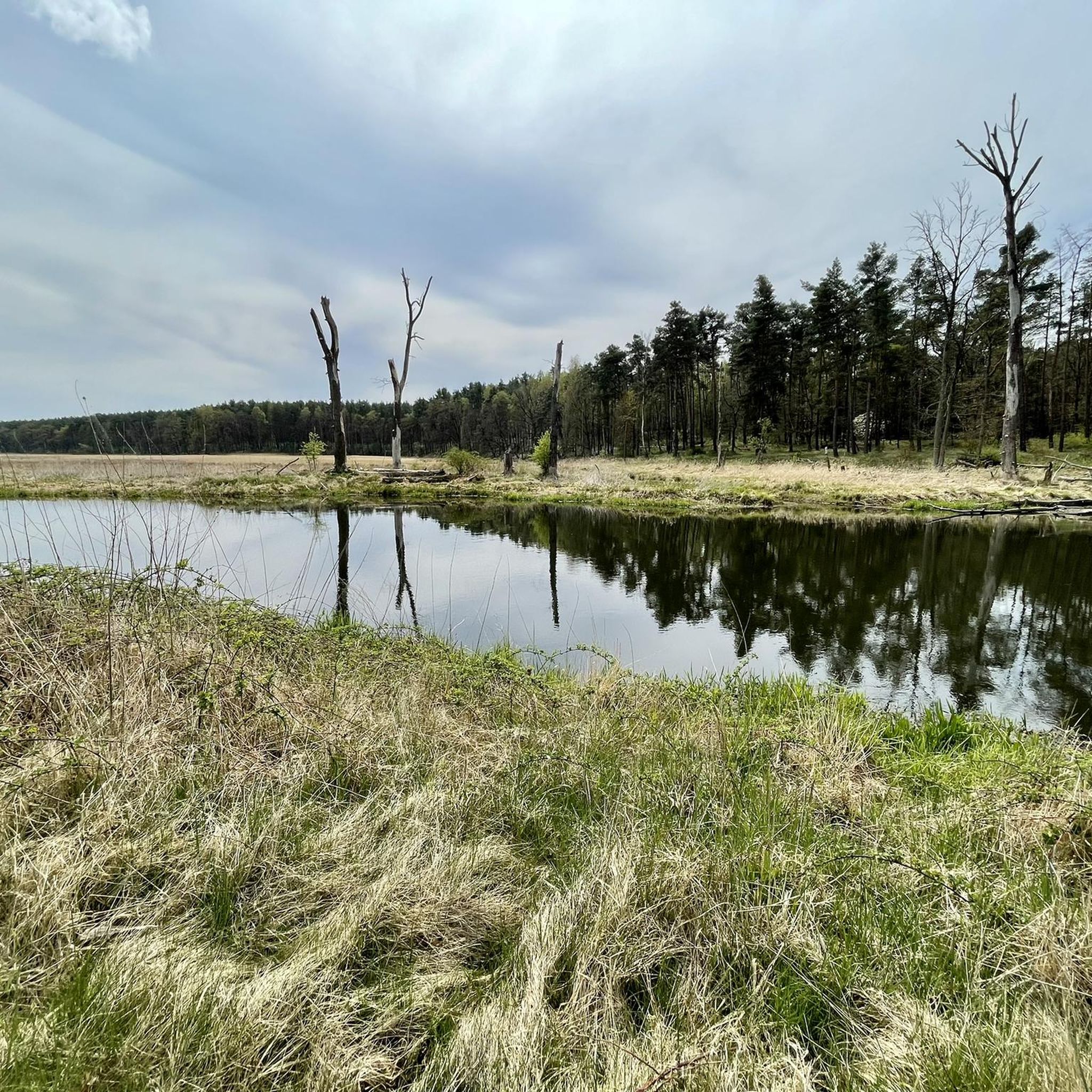
Hiking in Fürstenwalder Forst offers an extensive network of trails through diverse forest ecosystems and along the Spree river. This municipal forest spans over 4,700 hectares, providing a significant natural area for outdoor activities approximately 60 kilometers east of Berlin. The terrain features varied landscapes, including near-natural oak-hornbeam and alder marsh forests, with protected areas like Beerenbusch Nature Reserve.
Best hiking trails in Fürstenwalder Forst
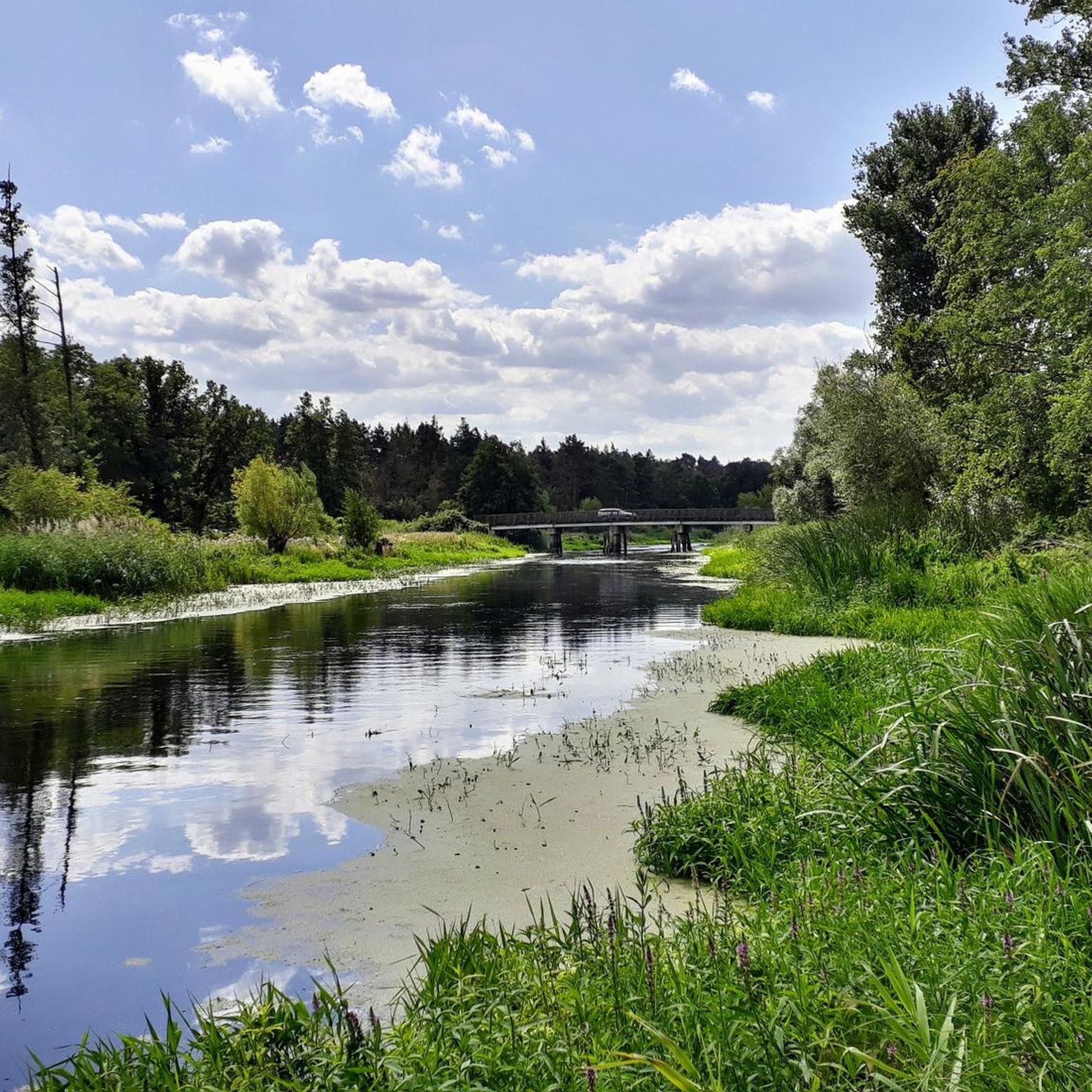
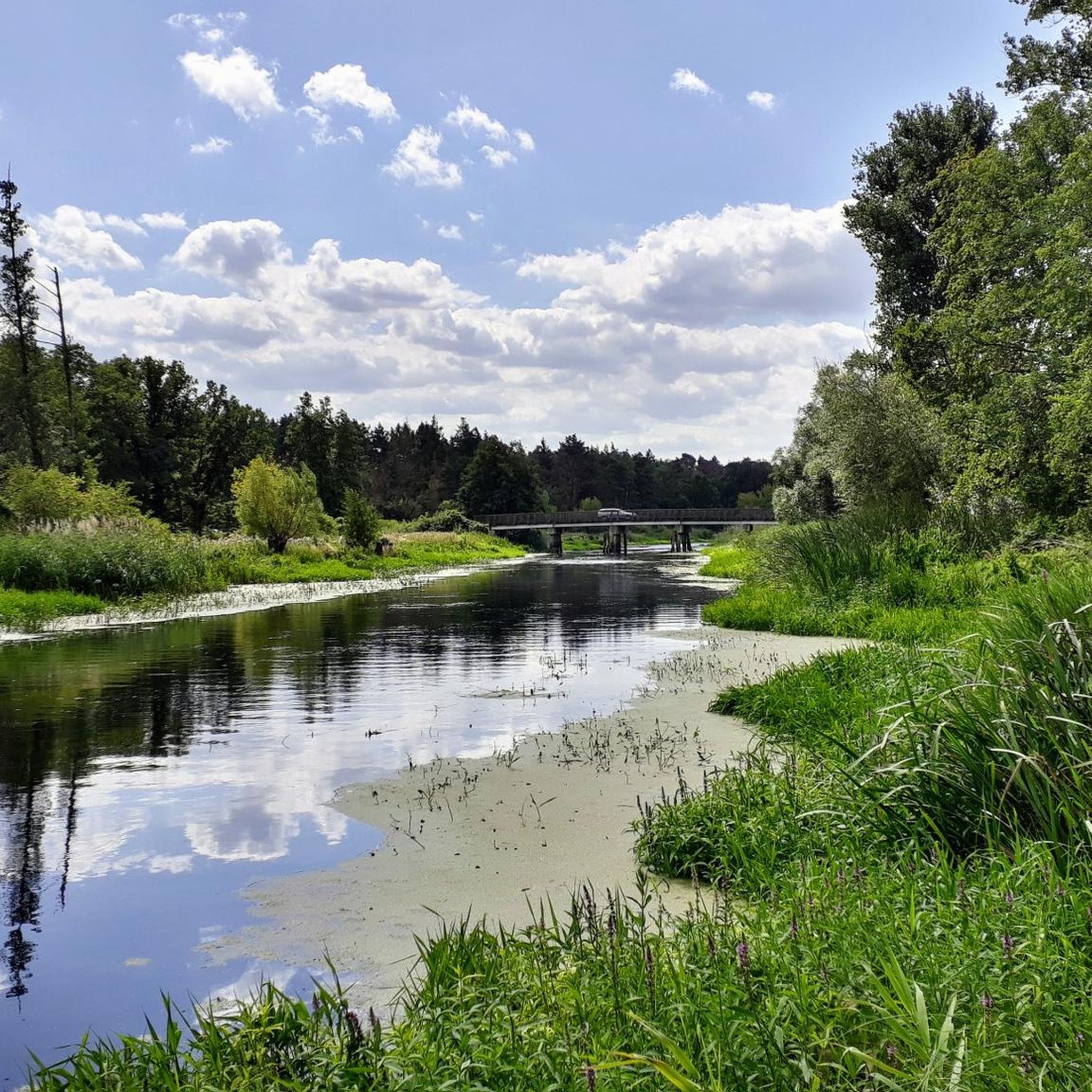
- The most popular hiking route is Mönchwinkel bivouac site – View of the Spree loop from Mönchwinkel, a 5.1 miles (8.2 km) moderate trail that takes 2 hours 5 minutes to complete. This route offers views of the Spree river and its surrounding natural landscapes.
- Another top favourite among local hikers is Mönchwinkel bivouac site – View from the Spree bridge loop from Mönchwinkel, an easy 2.5 miles (4.1 km) path. This trail provides accessible walking through forest areas with glimpses of the Spree bridge.
- Local hikers also love the Große Tränke Weir and Bridge – Große Tränke bivouac site loop from Große Tränke, a 2.9 miles (4.7 km) trail leading through forest and near water features, often completed in about 1 hour 12 minutes.
- Hiking in Fürstenwalder Forst is defined by diverse forest ecosystems, the Spree river, and designated nature reserves. The extensive trail network offers options for various ability levels, from easy walks to more challenging routes.
- The routes in Fürstenwalder Forst are highly rated by the komoot community with an average score of 4.6 stars from over 1,400 reviews. More than 6,000 hikers have used komoot to explore Fürstenwalder Forst's varied terrain.
Last updated: August 20, 2026
4.6
(5)
15
hikers
Moderate hike. Good fitness required. Easily-accessible paths. Suitable for all skill levels.
4.3
(3)
7
hikers
Easy hike. Great for any fitness level. Easily-accessible paths. Suitable for all skill levels.

Sign up for free
5.0
(1)
10
hikers
Easy hike. Great for any fitness level. Easily-accessible paths. Suitable for all skill levels.
3.0
(1)
8
hikers
Moderate hike. Good fitness required. Easily-accessible paths. Suitable for all skill levels.
4.6
(5)
5
hikers
5.96km
01:30
10m
10m
Easy hike. Great for any fitness level. Easily-accessible paths. Suitable for all skill levels.
Get access to more routes and recommendations from other explorers.
Sign up for free
Already have an account?
Our route recommendations are based on thousands of hikes, rides, and runs completed by other people on komoot.
Start today with a free account
Your next adventure awaits.
Login or Signup
Other adventures in Fürstenwalder Forst

Tips from the Community


Very nice but unfortunately closed until September 25 due to renovation of the cycle path
3
0

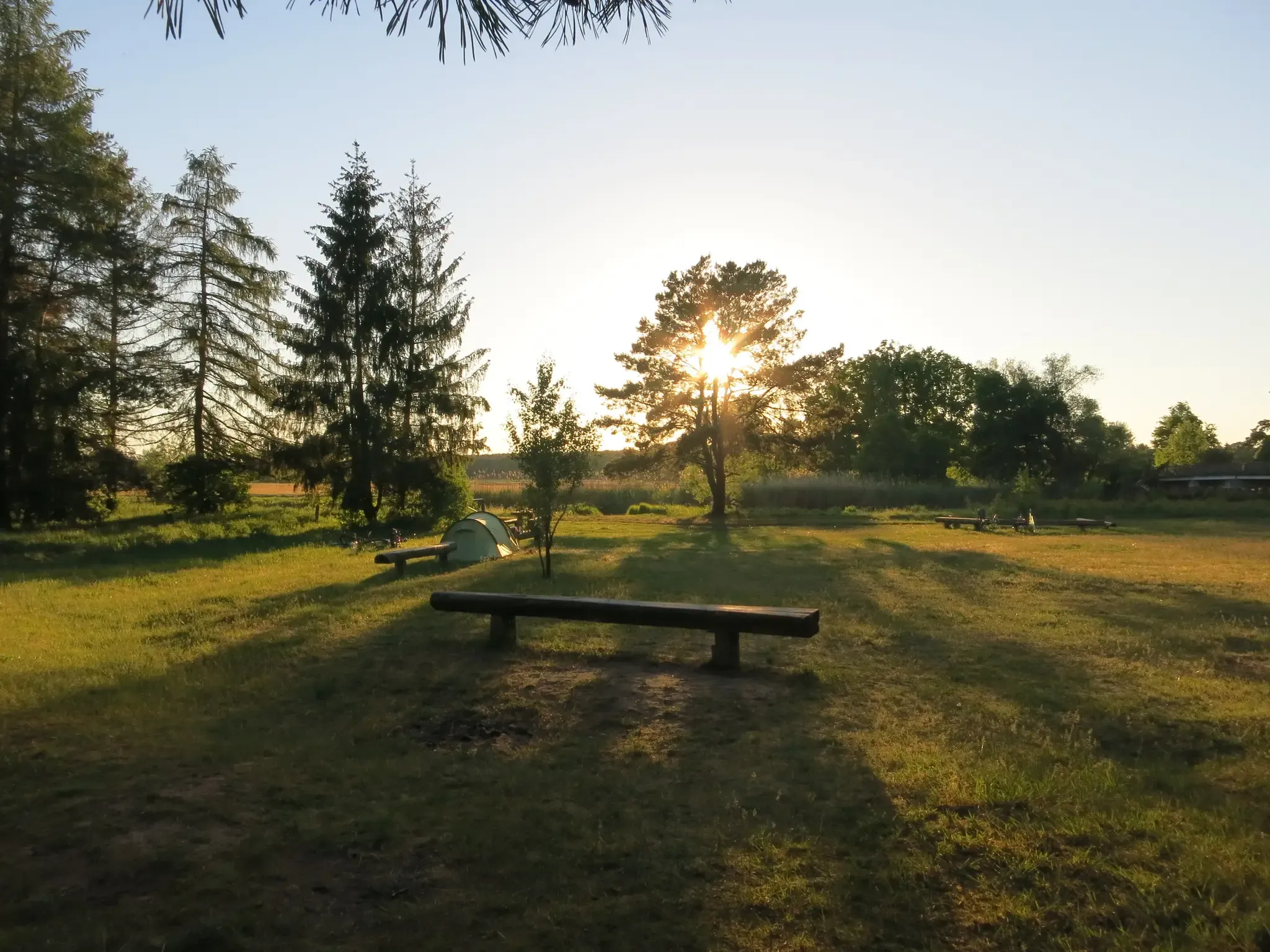
The north bank next to the bridge is a Rastplatz: bikers, hikers and people coming via the canal are allowed to camp for free. There are no services, but plenty of space to pitch a tent
1
0

This spot is also ideal for rainy days, and is a great place for small groups to take a break.
0
0

Beautiful double-track path. Easily doable with MTB or trekking bike
0
0

very nice there, quiet corner!
0
0

It's a walk to the public toilet. A nice camping area, not full during the week. Swimming is also possible. Don't forget Autan for mosquitoes.
0
0

Nice place, an experience to stay here
2
0
Frequently Asked Questions
How many hiking trails are available in Fürstenwalder Forst?
Fürstenwalder Forst offers an extensive network of trails, with over 15 hiking routes documented on komoot. These range from easy strolls to more challenging paths, catering to various preferences and fitness levels.
What are the typical difficulty levels for hiking in Fürstenwalder Forst?
The trails in Fürstenwalder Forst offer a mix of difficulties. You'll find many easy routes, perfect for a relaxed walk, alongside moderate options for those seeking a bit more challenge. There are also a few difficult trails for experienced hikers. Overall, the area is accessible for most ability levels.
Are there any circular hiking routes in Fürstenwalder Forst?
Yes, many routes in Fürstenwalder Forst are designed as loops, allowing you to start and end at the same point. For example, the Mönchwinkel bivouac site – View from the Spree bridge loop from Mönchwinkel is an easy 4.1 km circular path, and the Große Tränke Weir and Bridge – Große Tränke bivouac site loop from Große Tränke is another popular loop covering 4.7 km.
What kind of natural landscapes can I expect to see while hiking?
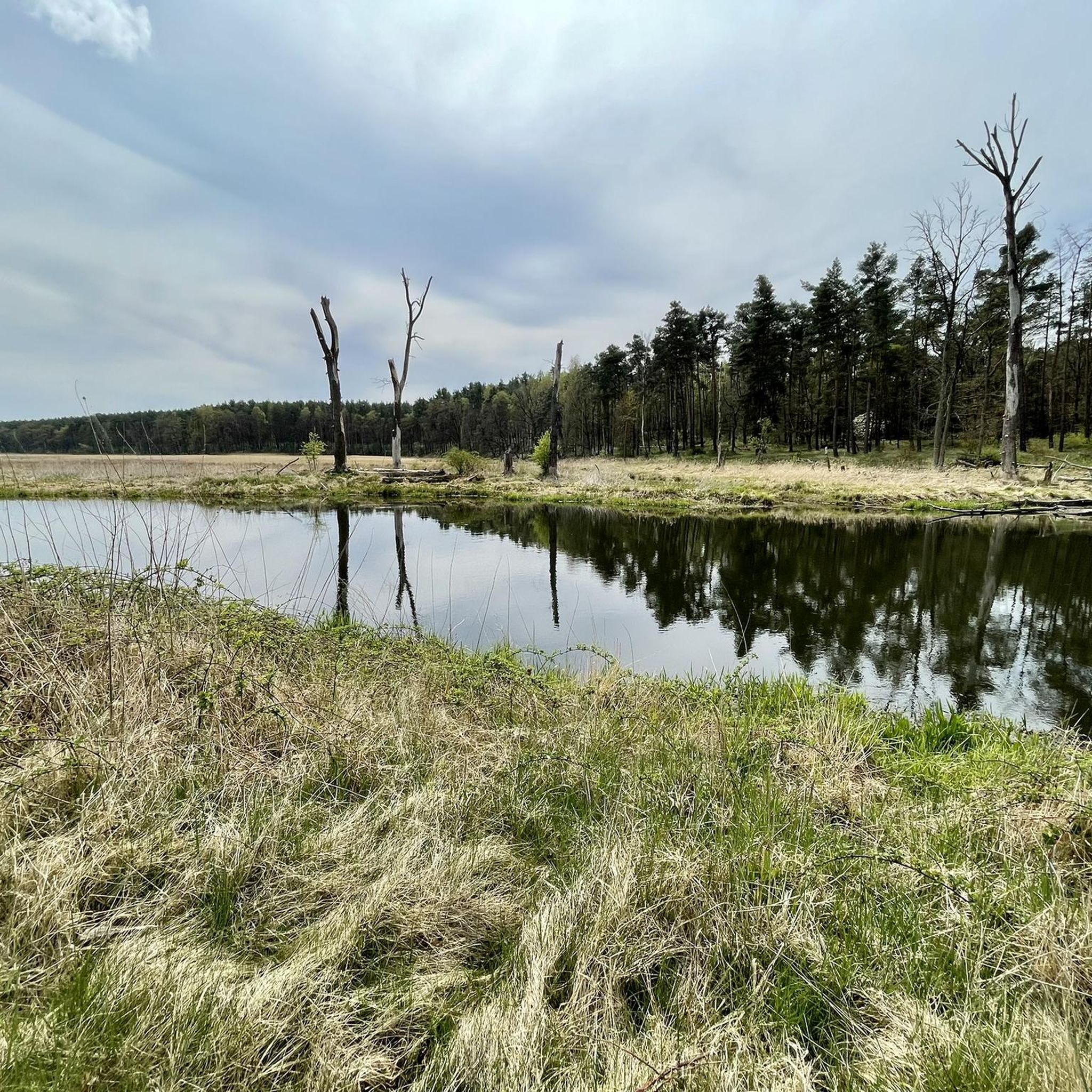
Fürstenwalder Forst is known for its diverse forest ecosystems, including rare near-natural oak-hornbeam and alder marsh forests. You'll also encounter idyllic river landscapes along the Spree, which flows through the area. Protected nature reserves like Beerenbusch add to the ecological richness.
Are there any historical sites or notable landmarks to explore?
Beyond its natural beauty, Fürstenwalder Forst holds historical significance. Within the Beerenbusch Nature Reserve, you can find the historical "Royal Pine" (Königskiefer), a natural monument. The nearby town of Fürstenwalde/Spree also features a historic old town and Fürstenwalde Castle.
What do other hikers say about Fürstenwalder Forst?
The area is highly rated by the komoot community, with an average score of 4.6 stars from over 1,400 reviews. Hikers often praise the quiet woodlands, the picturesque Spree river views, and the well-maintained trails that offer a peaceful escape into nature.
Can I bring my dog on the hiking trails in Fürstenwalder Forst?
Yes, dogs are generally welcome on the hiking trails in Fürstenwalder Forst. However, it's important to keep them on a leash, especially in nature reserves and areas with wildlife, to protect both your pet and the local ecosystem.
When is the best time of year to go hiking in Fürstenwalder Forst?
Fürstenwalder Forst is beautiful year-round, but spring is particularly appealing due to the blooming of one of Europe's largest lily of the valley populations near Hangelsberg. Autumn offers stunning foliage, while summer provides lush greenery. Even winter hiking is possible, offering a serene experience.
Are there any viewpoints or scenic spots along the trails?
Yes, several trails offer scenic views, particularly those along the Spree river. For instance, the Mönchwinkel bivouac site – View of the Spree loop from Mönchwinkel route provides lovely vistas of the Spree loop. You can also find picnic areas, such as the Picnic area next to the Spree Bridge, perfect for enjoying the surroundings.
Are there facilities like bivouac sites or picnic areas available?
Yes, there are facilities for hikers. The Mönchwinkel bivouac site is a notable spot for resting or an overnight stay. Additionally, you can find picnic areas, such as the Picnic area next to the Spree Bridge, ideal for a break during your hike.
How can I reach Fürstenwalder Forst using public transport?
Fürstenwalder Forst is accessible by public transport, as it's located approximately 60 kilometers east of Berlin. The town of Fürstenwalde/Spree has train connections, and local buses can take you closer to various trailheads within the forest. It's advisable to check local transport schedules for specific routes.
Are there any easy trails suitable for families or beginners?
Absolutely. Fürstenwalder Forst has numerous easy trails perfect for families with children or those new to hiking. Routes like the Mönchwinkel bivouac site – View from the Spree bridge loop from Mönchwinkel offer accessible walking through forest areas with minimal elevation changes.
Most popular routes in Fürstenwalder Forst
Most popular attractions in Fürstenwalder Forst

Get inspired with the komoot mobile app


Explore more
Browse the best Hikes in other regions.
