The best walks and hikes in Hoheholz
4.6
(3532)
20,313
hikers
1,156
hikes
Hiking trails in Hoheholz traverse a wooded, hilly landscape located west of Magdeburg in Saxony-Anhalt, Germany. The region is characterized by gently rising, forested hills, forming part of a larger ridge. It is designated as a landscape conservation area, with a significant nature reserve preserving diverse tree species like oak, hornbeam, and beech. The highest point, Edelberg, reaches 208.8 meters above sea level, contributing to varied terrain for hikers.
Best hiking trails in Hoheholz
- The most popular hiking route is…
Last updated: June 26, 2026
5.0
(11)
46
hikers
Moderate hike. Good fitness required. Easily-accessible paths. Suitable for all skill levels.
5.0
(9)
34
hikers
Easy hike. Great for any fitness level. Easily-accessible paths. Suitable for all skill levels.

Sign up for free
4.8
(11)
35
hikers
Easy hike. Great for any fitness level. Easily-accessible paths. Suitable for all skill levels.
4.6
(11)
27
hikers
5.62km
01:27
30m
30m
Easy hike. Great for any fitness level. Easily-accessible paths. Suitable for all skill levels.
5.0
(1)
20
hikers
2.79km
00:43
10m
10m
Easy hike. Great for any fitness level. Easily-accessible paths. Suitable for all skill levels.
Get access to more routes and recommendations from other explorers.
Sign up for free
Already have an account?
Our route recommendations are based on thousands of hikes, rides, and runs completed by other people on komoot.
Start today with a free account
Your next adventure awaits.
Login or Signup
Tips from the Community

somewhat hidden resting place with a boulder
1
0
small, elevated, covered lookout point overlooking a biotope that is almost completely silted up.
0
0
Beautiful little pond with a circular trail of easy difficulty.
0
0

Nice break area with a table and two benches. A few meters away you can still see the remains of the old bench, which nature is currently repeating.
1
0
There is a break area that certainly offers plenty of shade in the summer.
1
0
Here you can find out interesting and useful information about the red wood ant.
1
0
Also interesting, on the opposite side of the street, is the information board about the parish widow's house.
1
0
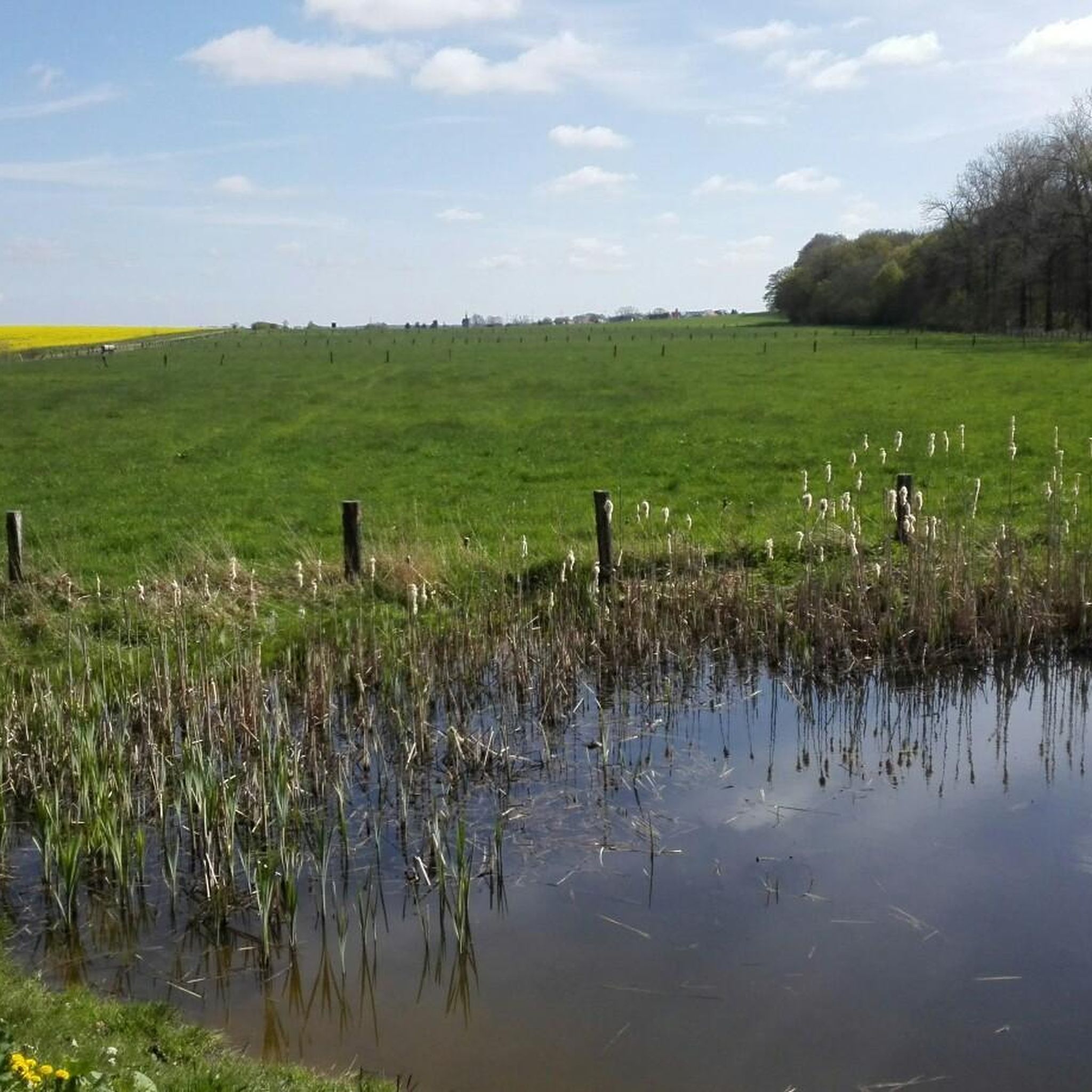
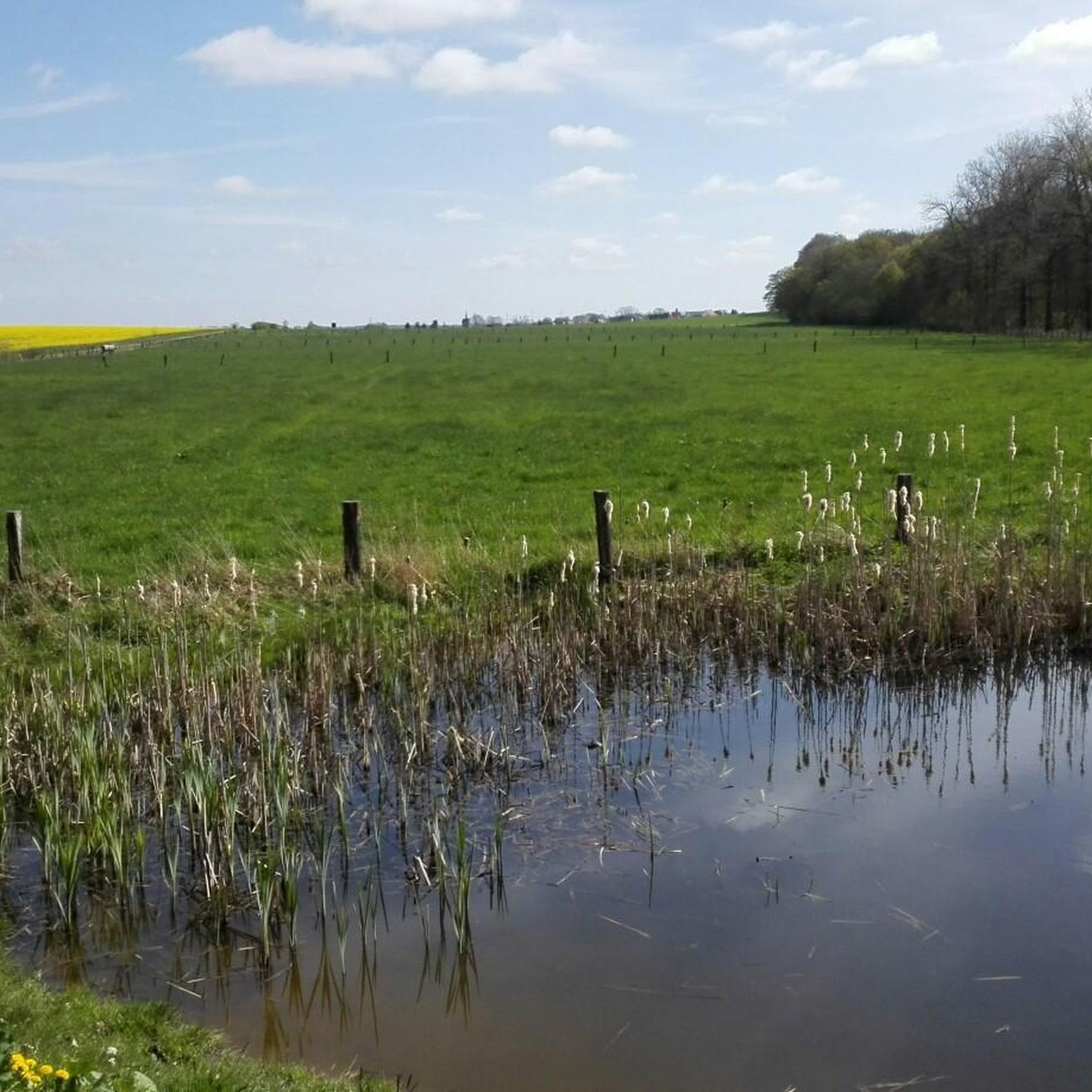
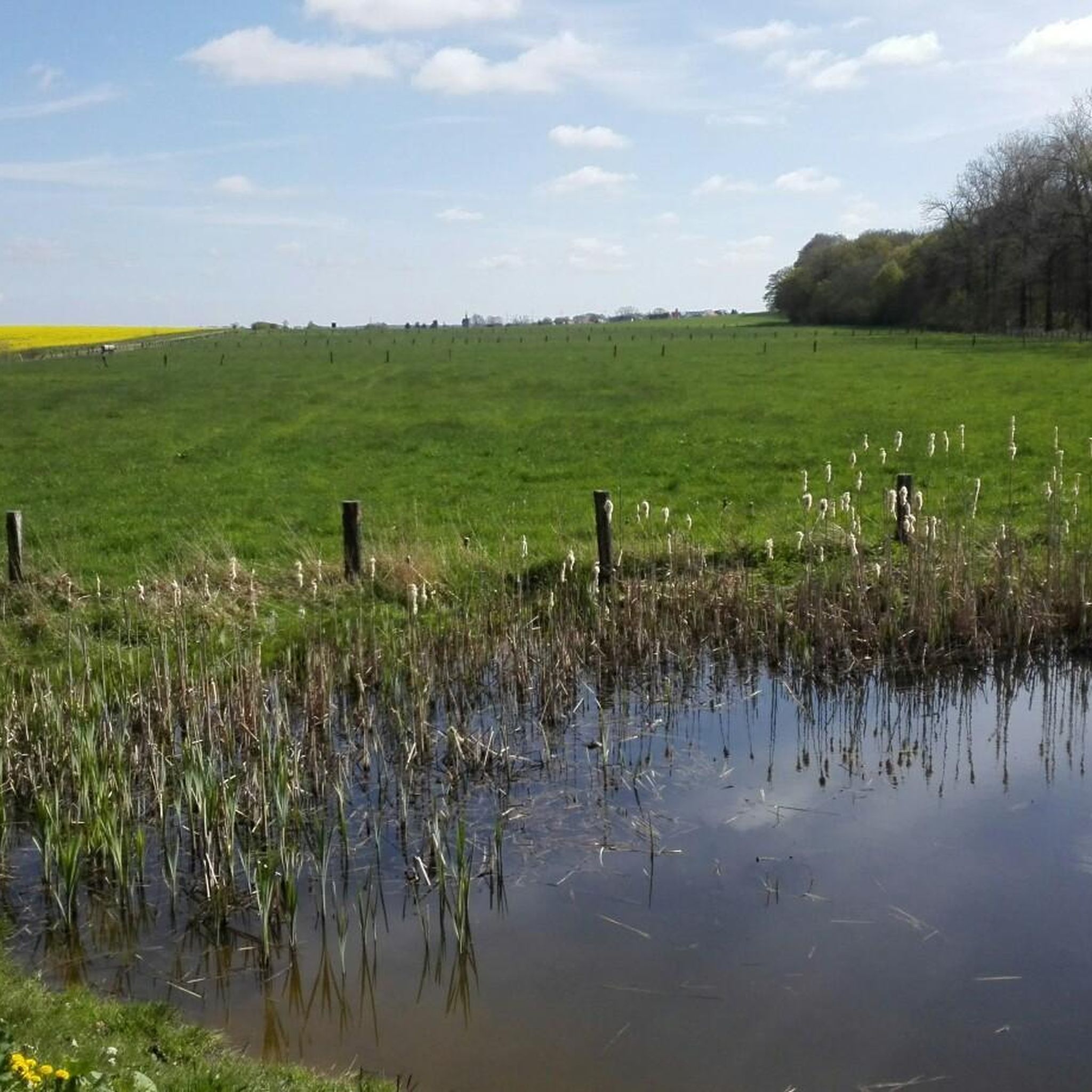
Small pond with a belt of reeds, ideal for all kinds of amphibians.
1
0
Frequently Asked Questions
How many hiking trails are available in Hoheholz?
Hoheholz offers an extensive network of hiking trails, with over 1,190 routes recorded on komoot. This includes a wide variety of options, from easy strolls to more challenging hikes, catering to all experience levels.
What kind of terrain can I expect when hiking in Hoheholz?
Hoheholz is characterized by its gently rising, wooded hills, forming part of a larger ridge. The highest point, Edelberg, reaches 208.8 meters above sea level. You can expect varied topography, with trails winding through dense forests of beech, oak, and hornbeam, offering a mix of easy paths and some moderate ascents.
Are there any easy or family-friendly hiking routes in Hoheholz?
Yes, Hoheholz is very suitable for families and beginners, with 872 easy routes available. An excellent option is the Red Wood Ant Information Board loop from Hoheholz, a 4.3 km (2.7 miles) trail that leads through the core forest and is typically completed in just over an hour.
What natural features or landmarks can I see along the trails?
Hoheholz boasts diverse natural features. You can visit the Otte Pond observation platform, or explore the area around the Rest area at Weidensool Pond. The region is also home to the Edelberg, the highest elevation, and the historic Hubertus-Eiche, a notable natural monument. A nature trail provides information about forest life.
Is Hoheholz suitable for dog owners?
Yes, Hoheholz is generally dog-friendly. The extensive network of wooded trails provides plenty of opportunities for walks with your dog. As it is a landscape conservation area, please ensure your dog is kept on a leash, especially in designated nature reserve sections, to protect local wildlife and flora.
Are there any circular hiking routes in Hoheholz?
Many of the trails in Hoheholz are designed as circular routes, allowing you to start and end at the same point. For example, the Hiking loop from Wendhausen is an easy 5.6 km (3.5 miles) option that takes you through the scenic forest.
What is the best time of year to hike in Hoheholz?
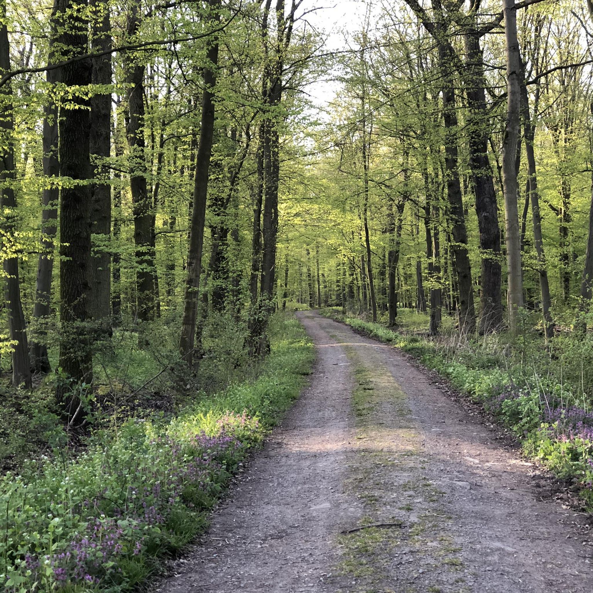
Hoheholz offers unique beauty throughout the year. Spring is vibrant with white and yellow anemones, liverwort, and primroses. Summer provides lush green canopy cover. Autumn transforms the forest with rich colors, and even winter hikes can be magical. The diverse flora and fauna make it an appealing destination in any season.
What amenities are available for hikers in Hoheholz?
Hikers can find several resting spots and huts throughout Hoheholz. Notable examples include the 'Rastplatz Zuckerecke,' which features seating, a fire pit, and a shelter, and the 'Schutzhütte Kahler Berg,' offering views towards the Harz mountains on clear days. The Hubertushöhe, formerly a hunting lodge, is also being renovated and offers rustic seating and a playground.
Can I spot wildlife while hiking in Hoheholz?
Hoheholz is rich in biodiversity, offering excellent opportunities for wildlife spotting. You might encounter red kites, buzzards, deer, wild boar, fallow deer, and mouflon. Squirrels are also commonly seen near resting places. The varied plant life supports this abundant animal kingdom.
What do other hikers enjoy most about Hoheholz?
The area is highly rated by the komoot community, with an average score of 4.6 stars from over 2,800 reviews. Hikers often praise the quiet, well-maintained wooded trails, the diverse natural environment, and the sense of tranquility found within the landscape conservation area.
Are there any cafes or restaurants near the Hoheholz hiking trails?
While the immediate forest area focuses on natural immersion, you can find cafes and restaurants in the nearby towns and villages surrounding Hoheholz, such as Oschersleben. These provide options for refreshments and meals before or after your hike.
Where can I park my car when visiting Hoheholz for hiking?
Parking options are available at various entry points to the Hoheholz forest. Specific parking areas are typically found near popular trailheads or villages bordering the conservation area, making access convenient for hikers.
Most popular routes in Hoheholz
Most popular attractions in Hoheholz

Get inspired with the komoot mobile app


Explore more
Browse the best Hikes in other regions.
