The best cycling routes in Calvörder Forst
4.5
(925)
2,655
riders
303
rides
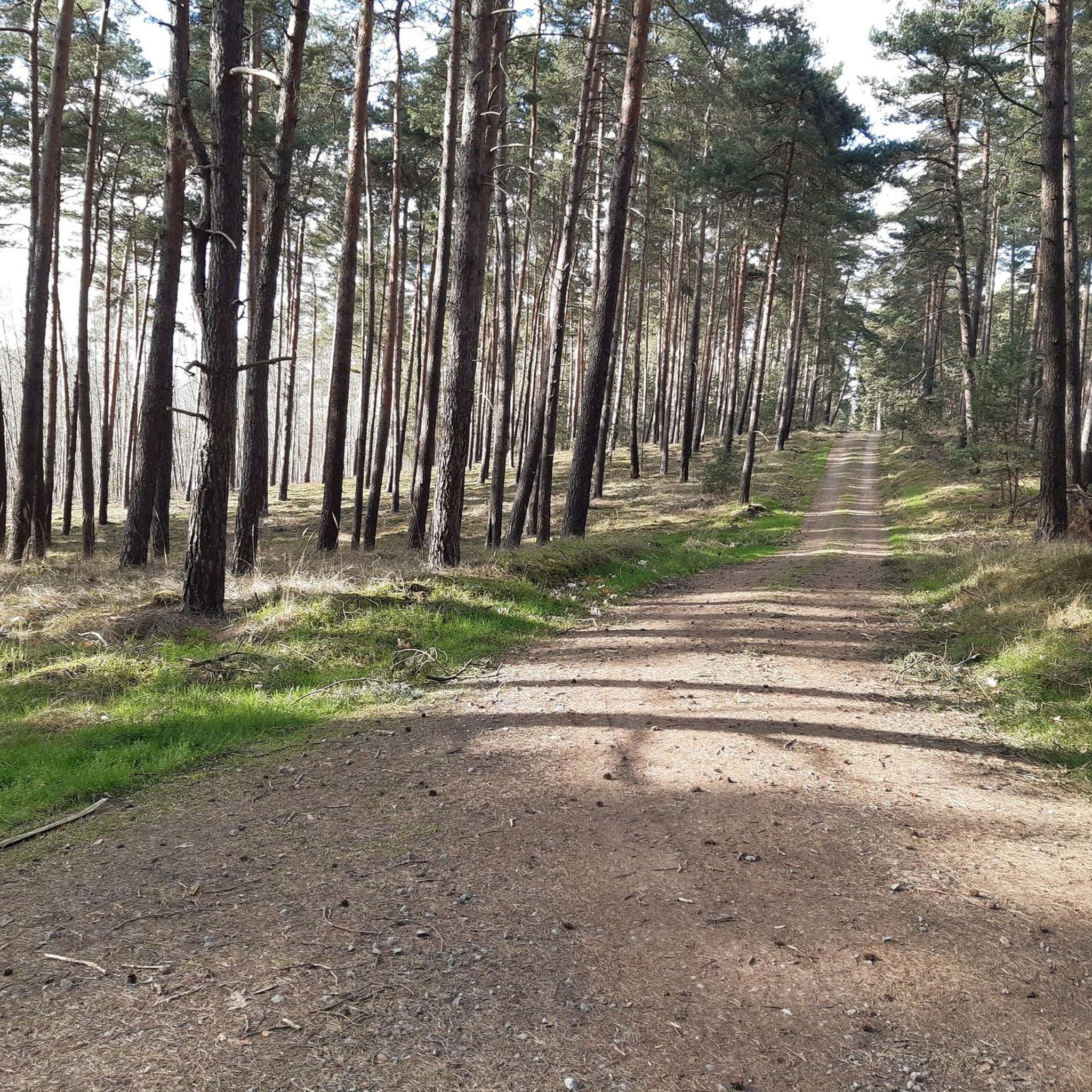
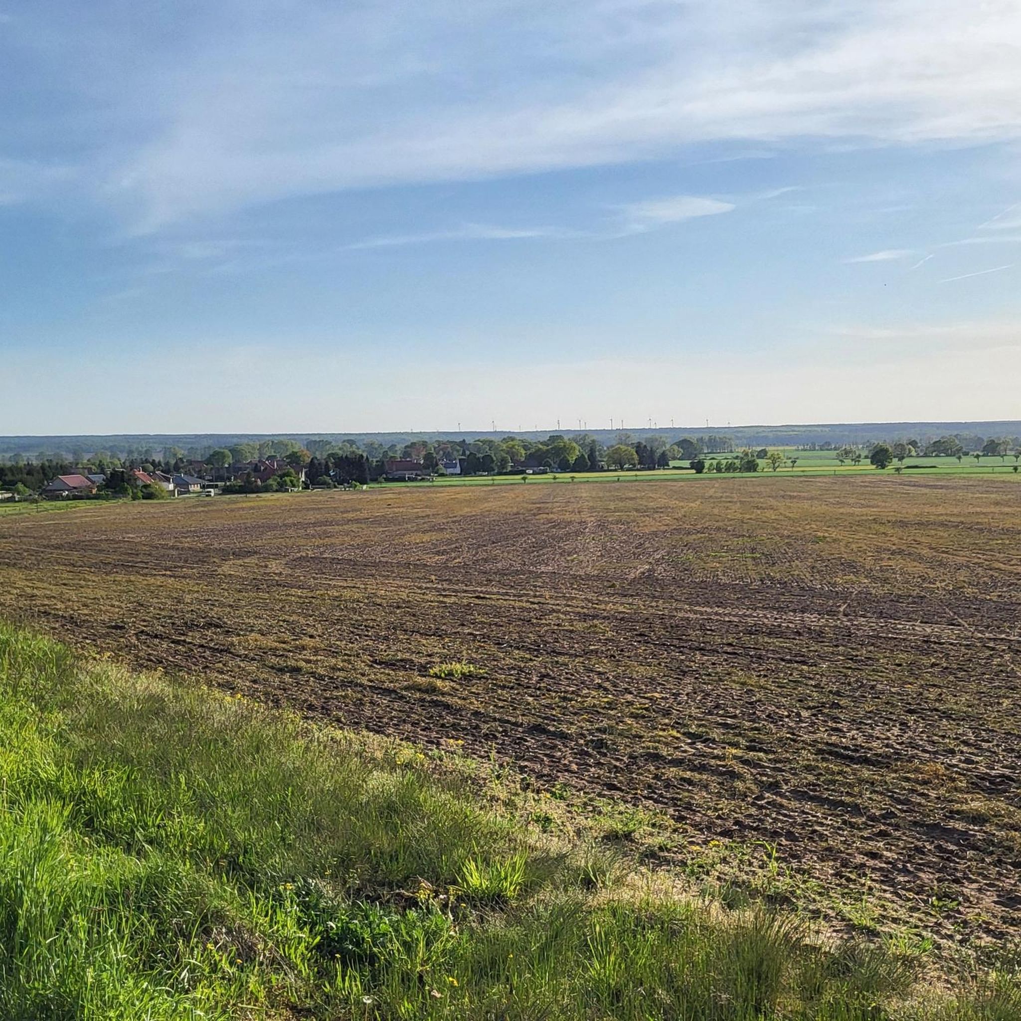
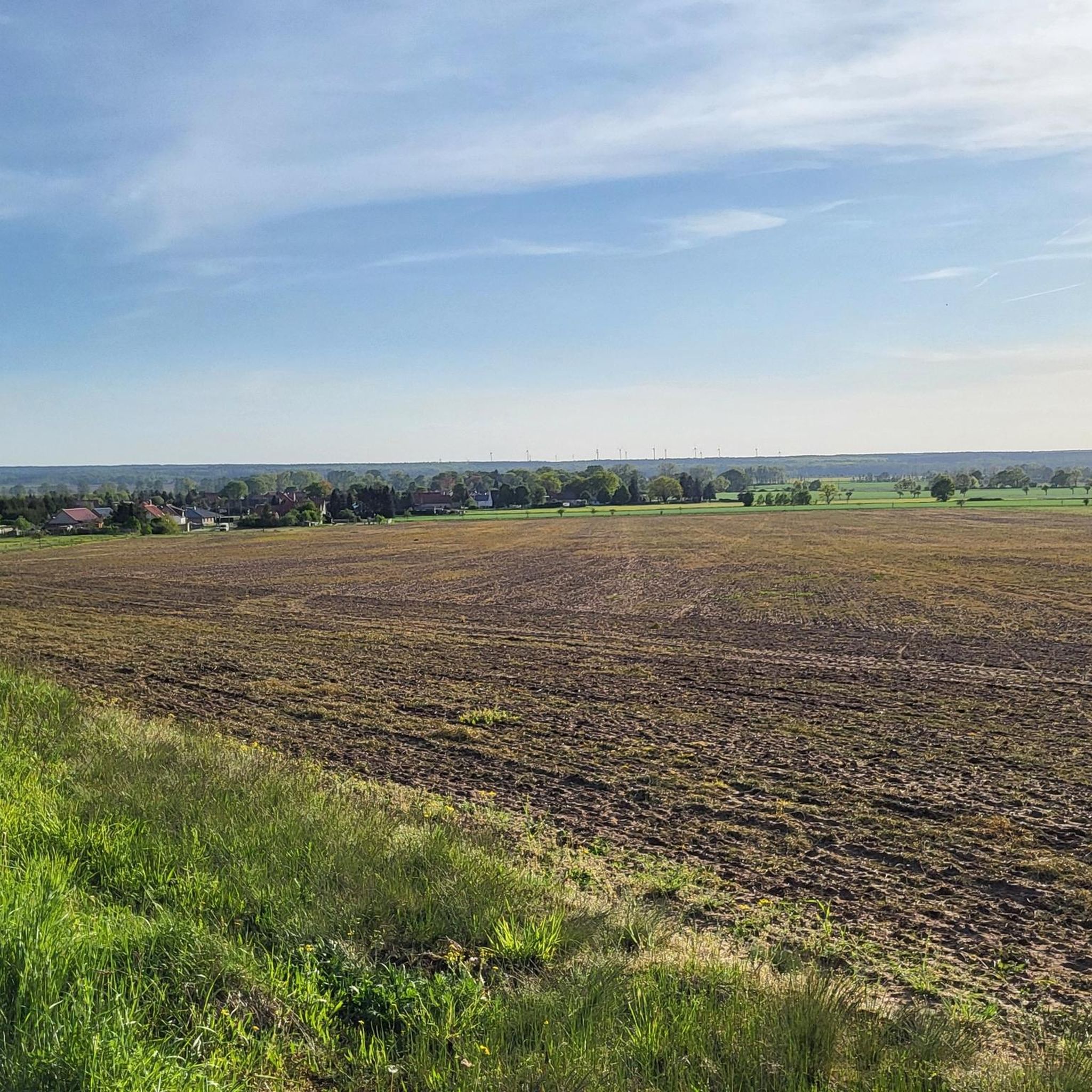
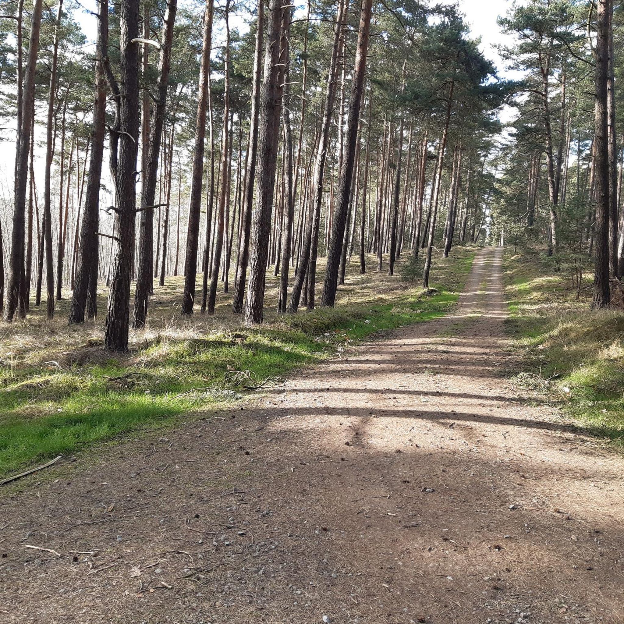
Touring cycling in Calvörder Forst offers diverse landscapes, characterized by the Calvörder Berge, which include hills such as the Rabenberg (145.7 m) and the Mörderberg (116.8 m). These hills provide dynamic cycling experiences with gentle ascents and descents amidst dense woodlands. The region features a mix of forest paths and more open stretches, ensuring varied scenery for touring cyclists, including the Drömling wetlands to the north and the Aller river valley. The nearly dried-up Klare Grete river along the southern…
Last updated: June 25, 2026
4.6
(27)
81
riders
Moderate bike ride. Good fitness required. Mostly paved surfaces. Suitable for all skill levels.
5.0
(4)
12
riders
30.9km
02:19
150m
150m
Moderate bike ride. Good fitness required. Mostly paved surfaces. Suitable for all skill levels.

Sign up for free
4.5
(4)
14
riders
34.2km
02:24
160m
160m
Moderate bike ride. Good fitness required. Mostly paved surfaces. Suitable for all skill levels.
3.7
(9)
13
riders
33.1km
01:58
150m
150m
Moderate bike ride. Good fitness required. Mostly paved surfaces. Suitable for all skill levels.
4.0
(1)
9
riders
Easy bike ride. Great for any fitness level. Mostly paved surfaces. Suitable for all skill levels.
Get access to more routes and recommendations from other explorers.
Sign up for free
Already have an account?
Our route recommendations are based on thousands of hikes, rides, and runs completed by other people on komoot.
Start today with a free account
Your next adventure awaits.
Login or Signup

Tips from the Community

Magnificent gate, which has been well restored again
0
0

It is the only equestrian Roland statue in Europe and dates from 1528. The original is in the Haldensleben Museum. Originally, the Roland statue could be rotated on its base to follow the passing ruler with its gaze.
0
0

Beautiful, historic castle 🏰 now a hotel 🏨 worth seeing 💯🔝👍🏻😉‼️
2
0

Great destination for coffee or food
0
0

Hundisburg Castle is worth a visit at any time of year.
0
0

The nature along the Mittelland Canal is really great. There is also a pond nearby that is connected to the canal. Here you can take a break in idyllic surroundings. Highly recommended!
1
0


Very beautiful castle, with restaurant and sleeping facilities.
0
0
Frequently Asked Questions
How many touring cycling routes are available in Calvörder Forst?
Calvörder Forst offers a wide selection of touring cycling routes, with over 300 options available. These routes cater to various preferences, including easy, moderate, and more challenging rides.
Are there easy touring cycling routes suitable for beginners or families?
Yes, Calvörder Forst has a significant number of easy touring cycling routes, with over 210 options designed for a relaxed pace. These routes often feature mostly well-paved surfaces and gentle terrain, making them ideal for beginners or family outings. An example is the Bülstringen Canal Bridge – Flechtingen Moated Castle loop from Flechtingen, which is a moderate 19.4-mile path with varied forest sections.
What kind of terrain can I expect on touring cycling routes in Calvörder Forst?
The terrain in Calvörder Forst is diverse, characterized by the Calvörder Berge (Calvörde Hills) which include elevations like the Rabenberg (145.7 m) and the Mörderberg (116.8 m). You can expect a mix of gentle ascents and descents amidst dense woodlands, as well as more open stretches. Routes vary from flatter forest paths to those with more dynamic elevation changes.
Are there any circular touring cycling routes in the area?
Many of the touring cycling routes in Calvörder Forst are designed as circular loops, allowing you to start and end at the same point. For instance, the popular Flechtingen Moated Castle – Bülstringen Canal Bridge loop from Flechtingen is a 29.7-mile circular route, and the Tree-Lined Pathway – Mannhausen Shallow-Water Zone loop from Flechtingen offers a 20.9-mile circular experience.
What are some scenic viewpoints or natural features to look out for while cycling?
While cycling in Calvörder Forst, you'll encounter numerous scenic vistas within the varied landscape. Key natural features include the Calvörder Berge with their gentle hills and dense forests. The nearly dried-up Klare Grete river along the southern border also adds a unique natural element to the scenery. Routes often pass through picturesque woodlands and open areas, providing diverse visual experiences.
Can I bring my dog on touring cycling routes in Calvörder Forst?
Generally, dogs are welcome on many of the forest paths and trails in Calvörder Forst, especially if kept on a leash. However, it's always advisable to check specific route details on komoot for any restrictions or recommendations regarding pets, as some protected areas might have different rules.
Where can I find parking for touring cycling routes in Calvörder Forst?
Many routes in Calvörder Forst start from or pass through various villages and towns, such as Flechtingen. These localities typically offer public parking options. It's recommended to check the starting points of specific routes on komoot for detailed parking information or suggestions for trailheads.
How can I reach Calvörder Forst using public transport?
While the region is primarily accessed by car, some routes may be reachable via local bus services connecting the surrounding towns and villages. For specific public transport connections to your desired starting point, it's best to consult local transport schedules or plan your journey using a public transport app.
Are there places to stop for refreshments or accommodation along the routes?
Yes, many touring cycling routes in Calvörder Forst are integrated with local communities. As you cycle through or near various villages and towns, you'll find opportunities for refreshments at local cafes or pubs, and potentially accommodation options for longer tours. The integration of nature and local amenities enhances the touring experience.
What is the best time of year for touring cycling in Calvörder Forst?
The spring, summer, and early autumn months generally offer the most pleasant conditions for touring cycling in Calvörder Forst. During these seasons, the weather is typically mild, and the forests are vibrant. Autumn provides beautiful foliage, while spring brings fresh greenery. Winter cycling is possible but may depend on snow and ice conditions.
What do other cyclists say about touring cycling in Calvörder Forst?
The touring cycling routes in Calvörder Forst are highly rated by the komoot community, with an average score of 4.5 stars from over 800 reviews. Cyclists often praise the serene environment, the varied forest paths, and the opportunity to enjoy rides away from heavy traffic, immersing themselves in nature.
Are there routes with significant elevation changes for a more challenging ride?
While many routes feature gentle ascents, some paths within the Calvörder Berge offer more dynamic elevation changes. For example, the Bülstringen Canal Bridge – Waldsee Zernitz loop from Flechtingen, a moderate 21.3-mile route, includes over 500 feet of elevation gain, providing a more engaging challenge for touring cyclists seeking varied terrain.
Are there any longer touring routes for extended rides in Calvörder Forst?
Yes, Calvörder Forst offers routes suitable for longer touring experiences. The Flechtingen Moated Castle – Tree-Lined Pathway loop from Flechtingen, for instance, is a 20.5-mile route that can be combined with other segments for an extended day tour. The extensive network allows for custom longer routes by linking various paths.
Most popular routes in Calvörder Forst

Get inspired with the komoot mobile app


Explore more
Browse the best Cycling routes in other regions.
