The best walks and hikes in Volkenrodaer Forst
4.6
(223)
1,088
hikers
32
hikes
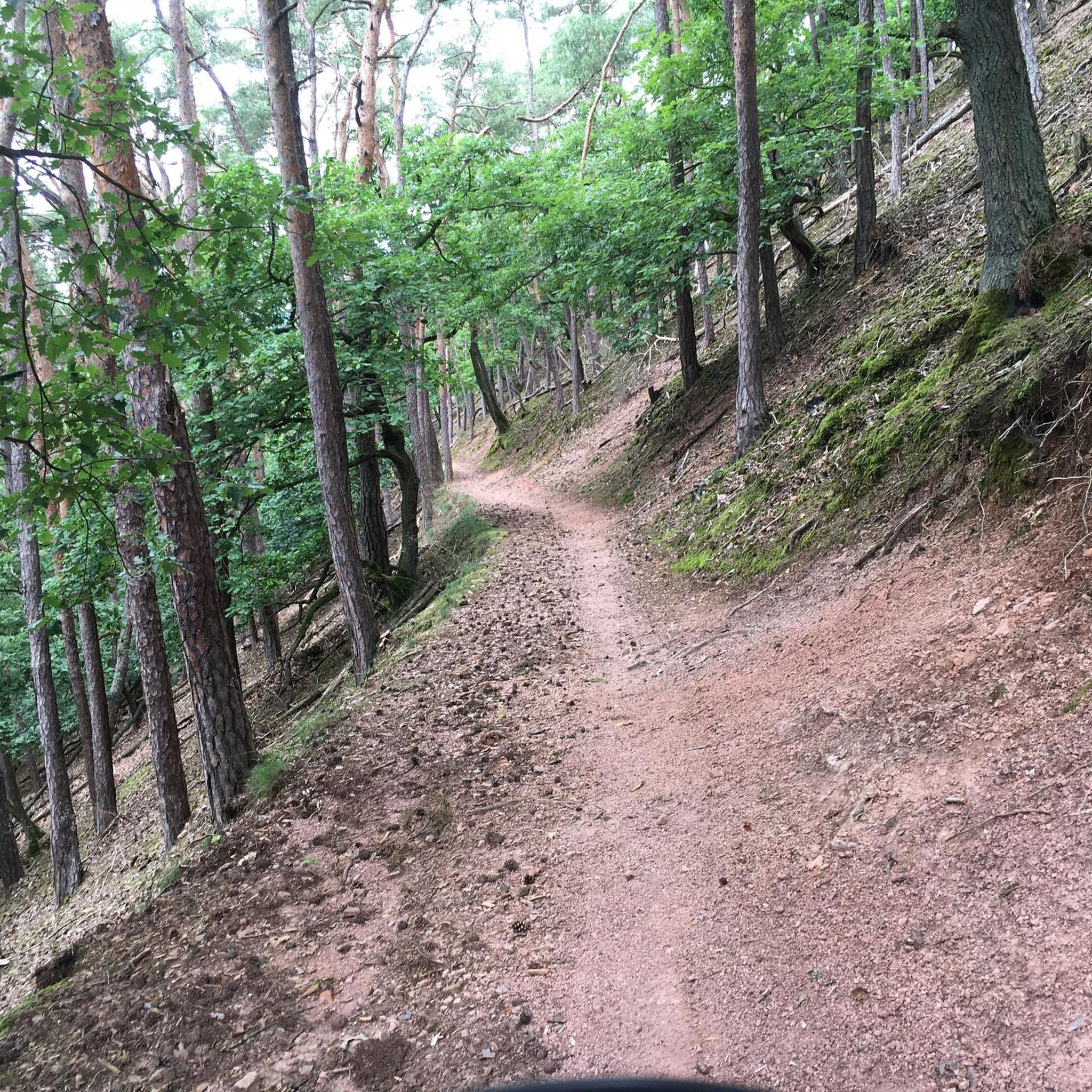
Hiking in Volkenrodaer Forst offers a network of trails through a roughly 670-hectare mixed woodland area in Thuringia, Germany. The region is characterized by Muschelkalk geology, which gives rise to unique karst phenomena, including sinkholes and a prominent dry valley known as the Schaftal. Elevations range from approximately 270 meters in the Schaftal to 364.1 meters at its highest point. This diverse landscape provides varied terrain for outdoor enthusiasts.
Best hiking trails in Volkenrodaer Forst
- The most popular hiking route…
Last updated: June 26, 2026
4.5
(22)
63
hikers
5.06km
01:22
60m
60m
Easy hike. Great for any fitness level. Easily-accessible paths. Suitable for all skill levels.
4.4
(8)
20
hikers
6.09km
01:39
80m
80m
Easy hike. Great for any fitness level. Easily-accessible paths. Suitable for all skill levels.

Sign up for free
3.5
(4)
14
hikers
3.51km
00:56
40m
40m
Easy hike. Great for any fitness level. Easily-accessible paths. Suitable for all skill levels.
4.4
(5)
12
hikers
9.07km
02:27
120m
120m
Moderate hike. Good fitness required. Easily-accessible paths. Suitable for all skill levels.
4.8
(5)
8
hikers
7.12km
01:56
100m
100m
Easy hike. Great for any fitness level. Easily-accessible paths. Suitable for all skill levels.
Get access to more routes and recommendations from other explorers.
Sign up for free
Already have an account?
Our route recommendations are based on thousands of hikes, rides, and runs completed by other people on komoot.
Start today with a free account
Your next adventure awaits.
Login or Signup
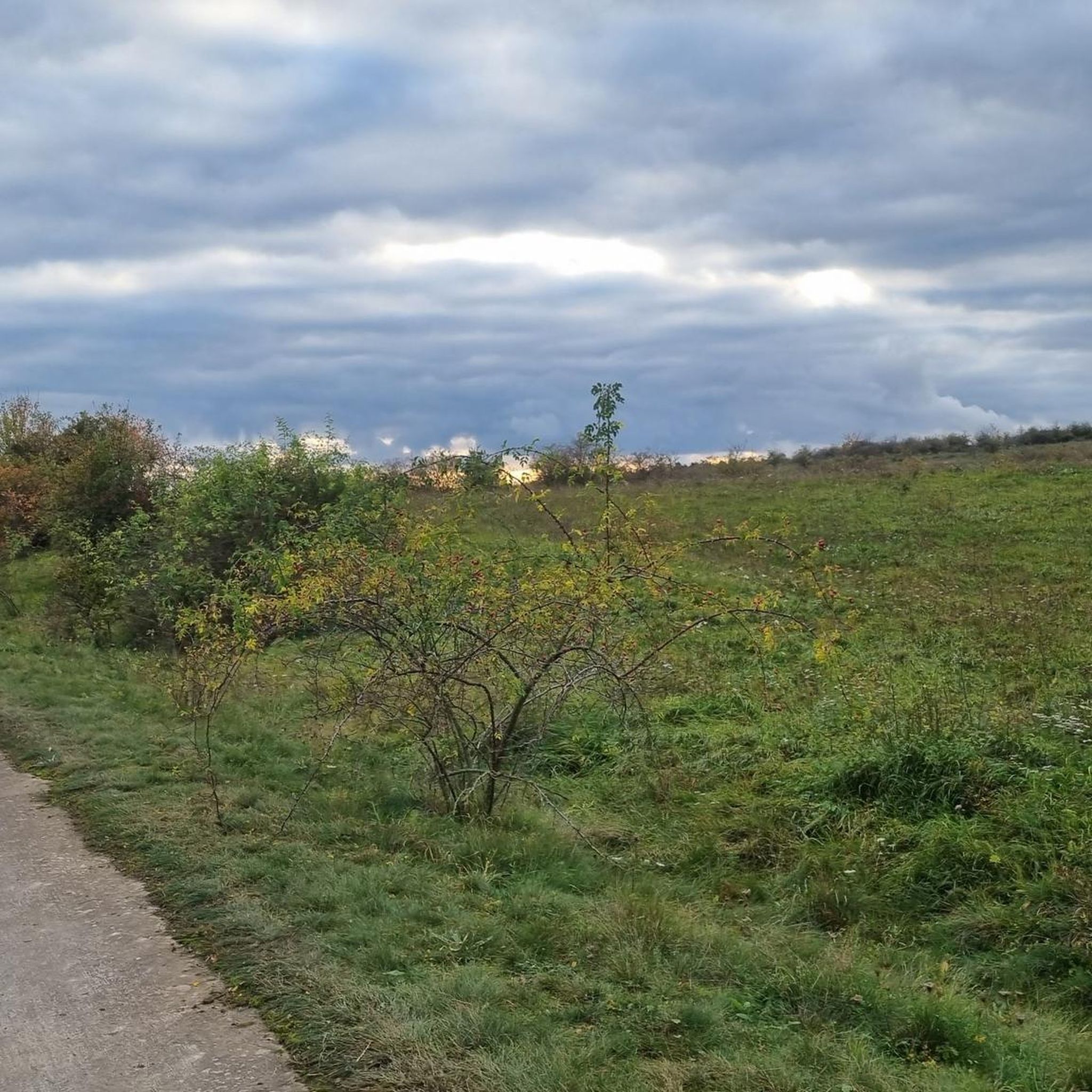
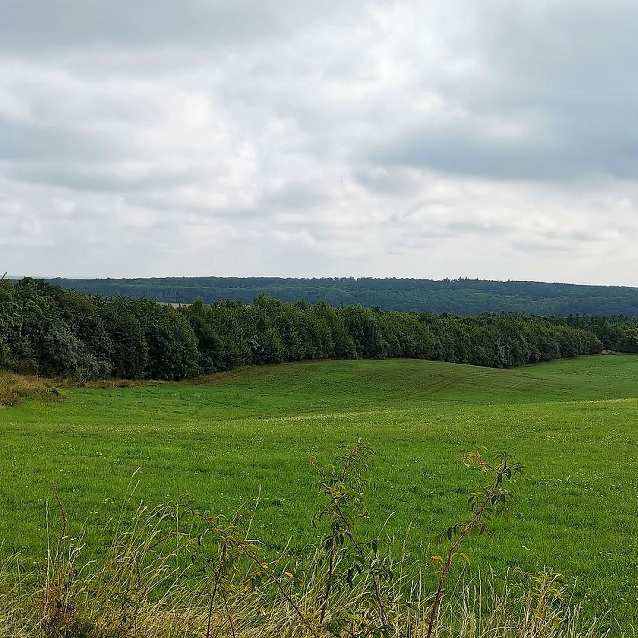
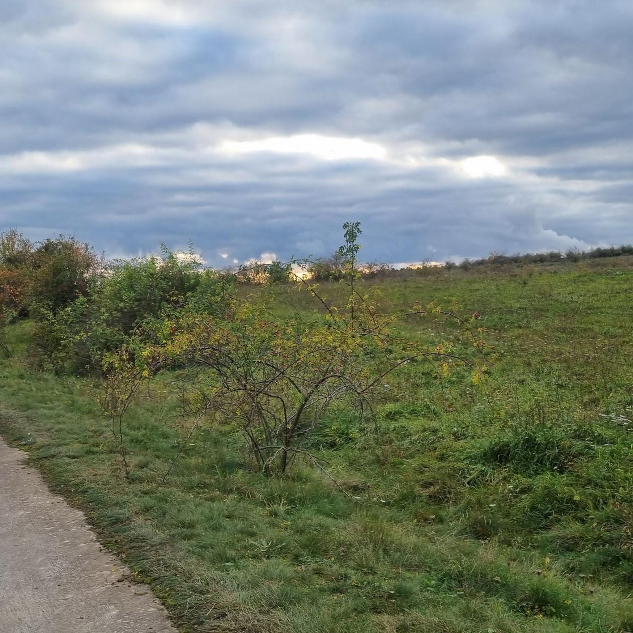
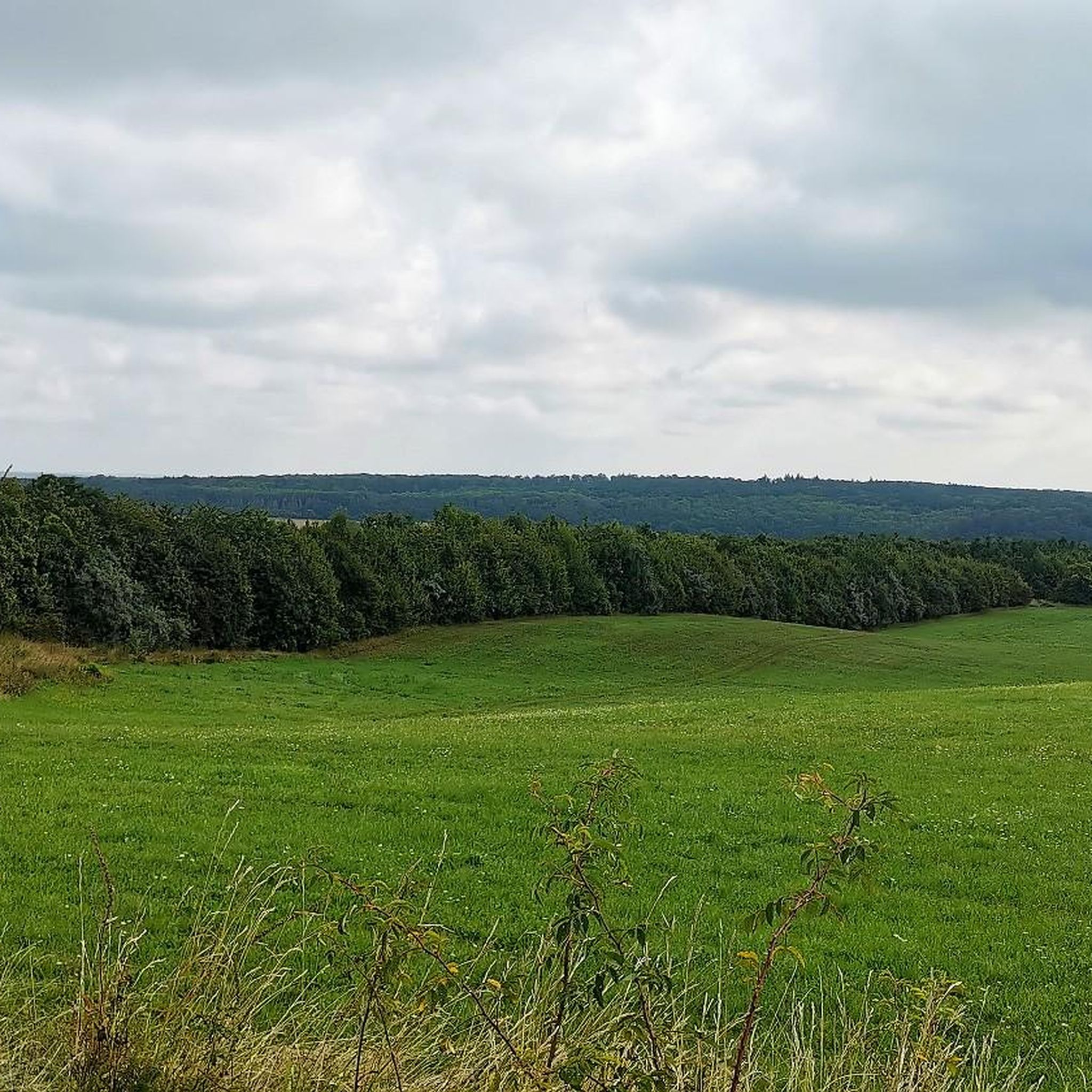
Tips from the Community

Very nice to look at
0
0

Volkenroda Monastery: This gem is located in a beautiful setting. Beautifully restored, it is located on a hiking trail with many surprises and, at the same time, many quiet spots. There is also a hostel here.
1
0

an absolute must for the snowdrop blossom
0
0

Beautifully creatively designed pavilion.
1
0
An old atonement cross on the side of the road
0
0

Well-developed hiking trails with plenty of rest areas.
0
0
Directly in front of the parking lot
1
0
Opposite the monastery in a window.
1
0
Frequently Asked Questions
What kind of terrain can I expect when hiking in Volkenrodaer Forst?
Volkenrodaer Forst features diverse mixed woodlands, with some areas predominantly ash trees. The geological foundation is primarily Muschelkalk (shell limestone), leading to unique karst phenomena like sinkholes and a prominent dry valley. Trails range from accessible forest roads to more natural paths, offering varied scenery.
Are there any unique natural features to see in Volkenrodaer Forst?
Yes, the forest is known for its Muschelkalk geology, which creates interesting karst phenomena. A notable feature is the Schaftal dry valley in the southern part, one of the longest in Thuringia. While often dry, it can carry water during colder seasons or after heavy rainfall, adding a dynamic element to the landscape.
Are there easy hiking trails suitable for beginners or families in Volkenrodaer Forst?
Absolutely. Volkenrodaer Forst offers a good selection of easy trails. For instance, the King's Oak – Volkenroda Monastery loop from Volkenroda is an easy 3.51 km path, perfect for a shorter exploration. Another accessible option is the Volkenroda Monastery – Calf Pond loop from Volkenroda, which is 6.25 km and also considered easy.
What historical or cultural points of interest can I find along the trails?
The forest has historical significance, including its past use as grazing land for the Cistercian monastery of Volkenroda. A section of the pilgrimage path between Loccum and Volkenroda monasteries runs through the forest. You can also visit the Pilgrim Monument “Beginning and End” in Volkenroda, a two-part sculpture marking a symbolic point on the pilgrimage route.
Are there any moderate or more challenging routes available?
Yes, for those seeking a bit more challenge, there are moderate trails. The Shelter in Schafbachtal – Völkenröder Forest Shelter loop from Volkenroda is a 7.75 km moderate route that takes you through the distinctive Schaftal dry valley.
What do other hikers say about the trails in Volkenrodaer Forst?
The routes in Volkenrodaer Forst are highly rated by the komoot community, with an average score of 4.6 stars from over 190 reviews. Hikers often praise the quiet woodlands, well-maintained paths, and the varied natural scenery, particularly the unique geological features.
Are there circular hiking routes in Volkenrodaer Forst?
Yes, many of the trails in Volkenrodaer Forst are designed as circular routes, allowing you to start and end at the same point. Examples include the Volkenroda Monastery – King's Oak loop from Volkenroda and the Pöthenserweg Shelter – Shelter in Schafbachtal loop from Obermehler.
Are dogs allowed on the hiking trails in Volkenrodaer Forst?
Volkenrodaer Forst is generally dog-friendly, offering a natural environment for walks with your canine companion. However, it's always recommended to keep dogs on a leash, especially in areas with wildlife or near other hikers, and to follow local regulations regarding waste disposal.
Are there any specific viewpoints or scenic spots in the forest?
While Volkenrodaer Forst is more known for its diverse forest ecosystem and geological features than dramatic panoramic viewpoints, the varied terrain and the unique Schaftal dry valley offer picturesque sections. The highest point in the north reaches 364.1 meters, providing elevated perspectives within the forest.
What is the best time of year to go hiking in Volkenrodaer Forst?
Volkenrodaer Forst can be enjoyed year-round. Spring brings fresh greenery and, notably, the snowdrop bloom in Schafbachtal. Summer offers lush forest cover, while autumn transforms the mixed woodlands with vibrant colors. Even in colder seasons, when Muschelkalk fissures are sealed by frost, the Schaftal dry valley can carry water, adding a unique element to the landscape.
Are there facilities or shelters along the trails?
Yes, there are facilities and shelters within the forest. For example, you can find the Shelter in Schafbachtal and the Rustic Stick Hut, which can provide a resting spot during your hike.
Most popular routes in Volkenrodaer Forst
Most popular attractions in Volkenrodaer Forst

Get inspired with the komoot mobile app


Explore more
Browse the best Hikes in other regions.
