The best running trails in Donnersberg
4.5
(1219)
15,369
runners
883
runs
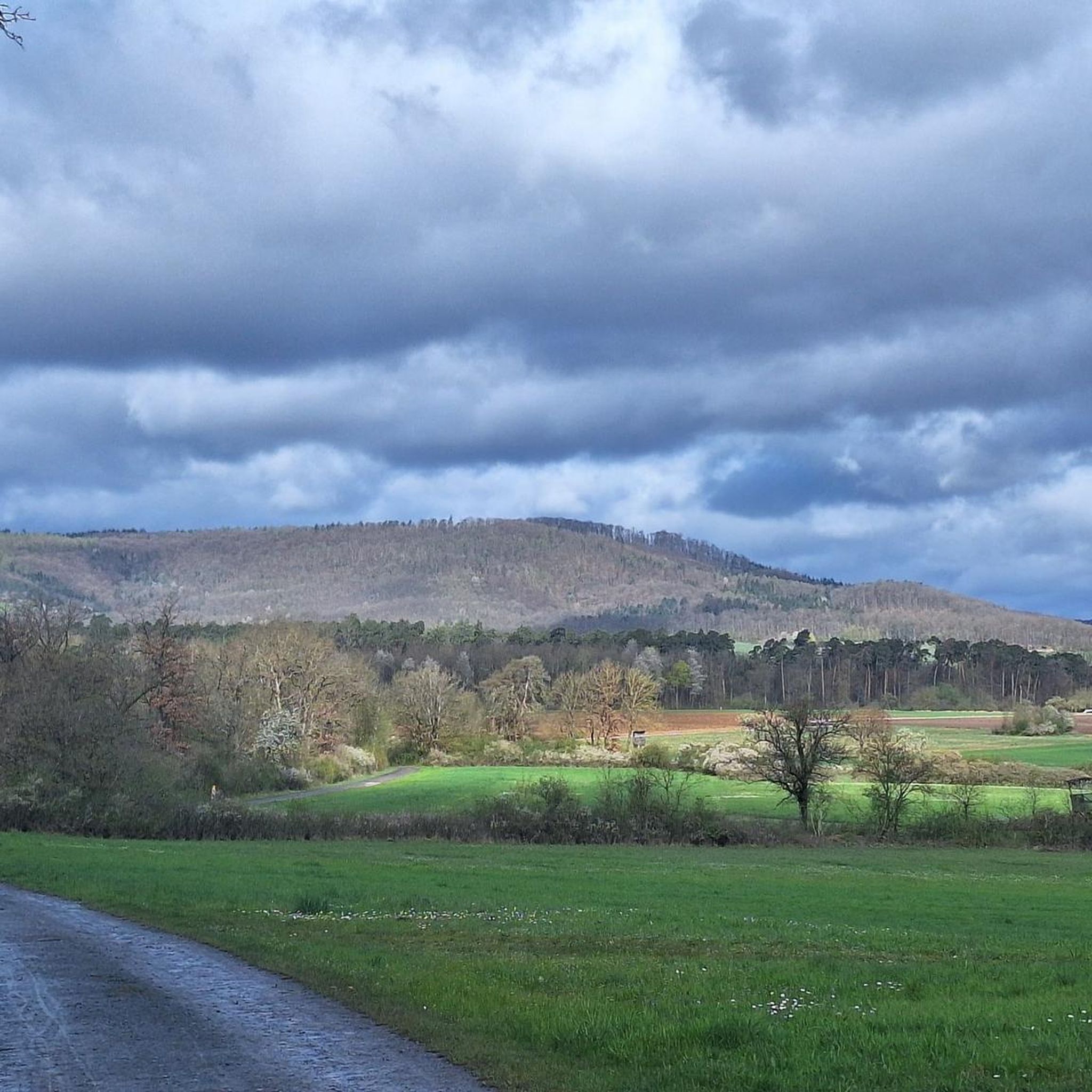
Jogging in Donnersberg offers diverse landscapes within Germany's Palatinate region, characterized by its significant elevation and varied terrain. As the highest mountain in the Palatinate, Donnersberg features extensive forests, providing shaded and scenic running routes. The area's volcanic origin contributes to a unique geology, with varied topography ranging from gentle paths to more challenging climbs. Runners can experience various inclines and descents across a wide network of trails, catering to different fitness levels.
Best jogging routes in Donnersberg
- The most…
Last updated: July 4, 2026
1.0
(1)
36
runners
12.1km
01:18
80m
80m
Moderate run. Good fitness required. Mostly paved surfaces. Suitable for all skill levels.
4.3
(3)
19
runners
5.91km
00:37
50m
50m
Moderate run. Good fitness required. Mostly paved surfaces. Suitable for all skill levels.

Sign up for free
5.0
(4)
32
runners
5.46km
00:34
40m
40m
Moderate run. Good fitness required. Mostly paved surfaces. Suitable for all skill levels.
1.0
(1)
19
runners
9.42km
00:59
50m
60m
Moderate run. Good fitness required. Mostly paved surfaces. Suitable for all skill levels.
4.7
(3)
30
runners
10.9km
01:10
110m
110m
Moderate run. Good fitness required. Mostly paved surfaces. Suitable for all skill levels.
Get access to more routes and recommendations from other explorers.
Sign up for free
Already have an account?
Our route recommendations are based on thousands of hikes, rides, and runs completed by other people on komoot.
Start today with a free account
Your next adventure awaits.
Login or Signup

Other adventures in Donnersberg

Tips from the Community

A church in Horrheim has been documented since the 8th/9th century. Around 1250, a Romanesque church with a chancel tower was built here. Further alterations and additions followed, resulting in its present appearance. Inside are old murals dating from 1325. The baptismal font, the altar, and the prayer bell date from the 16th century.
0
0

Seating area under a tree on the edge of the hamlet of Egartenhof with a beautiful view towards the Enz valley, where the Hohenasperg fortress can be clearly seen in the distance.
5
0
Formerly the construction yard of Altsachsenheim Castle, situated above the Enz Valley. Archaeological finds suggest it was built in the 13th/14th century. In the first half of the 15th century, it was owned by the von Nippenburg family. The date of its destruction is unknown. The upper or "outer" castle (as seen from Großsachsenheim) was already known as "Eisenburg" by 1375. The year 1571 can be found above the archway of the former manor house. An inscription plaque by Johann Rösslin, the bailiff of Sachsenheim (1570–74), is located on a window lintel at the southwest corner of the gable end.
5
0
Enzwehr weir with Sägmühle hydroelectric power plant, featuring a very detailed information panel about its history and significance.
6
0
A fortified church surrounded by walls, first documented on July 24, 1265. The current church essentially dates from 1484. The weathervane, at exactly 287 meters above sea level, is the highest point in the Großsachsenheim district.
4
0
Further panoramic view of the Enz Valley, which extends from Unterriexingen over the Leudelsbach Valley to Bietigheim-Bissingen.
6
0

Sky lounger on the edge of the forest with a good view towards Sersheim.
3
0
Frequently Asked Questions
How many running routes are available in Donnersberg?
Donnersberg offers a vast network of over 800 running routes, catering to various preferences and fitness levels. These include over 100 easy routes, more than 600 moderate options, and nearly 90 challenging trails.
Are there easy running trails for beginners in Donnersberg?
Yes, Donnersberg has over 100 easy running trails perfect for beginners or those looking for a relaxed jog. These routes typically feature gentle elevation changes and well-maintained paths through the region's scenic forests.
What kind of terrain can I expect on Donnersberg's jogging paths?
You'll find a diverse landscape in Donnersberg, characterized by elevated and varied terrain. The region is known for its extensive forests, providing shaded and scenic routes. Due to its volcanic origin, some paths may feature unique rock formations, offering a mix of inclines and descents suitable for different fitness levels.
Are there any family-friendly jogging routes in Donnersberg?
Many of Donnersberg's trails are suitable for families, especially the easier routes that wind through the forests. These paths often provide a pleasant and safe environment for a family run or walk. While specific 'family' routes aren't highlighted in the data, the general nature of the easy trails makes them ideal.
Can I bring my dog on the running trails in Donnersberg?
Yes, Donnersberg's natural environment and extensive trail network are generally very dog-friendly. Most trails allow dogs, but it's always recommended to keep them on a leash, especially in nature reserves or areas with wildlife, and to respect local regulations.
Are there circular running routes in Donnersberg?
Absolutely. Many of the running routes in Donnersberg are circular, allowing you to start and finish at the same point. For example, the Forest Bathing – Kriegerdenkmal loop from Sersheim is a popular 5.1 km circular route, and the War memorial with crucifix – Forest Bathing loop from Sersheim offers a 5.4 km circular path.
What are some scenic viewpoints or landmarks I can see while jogging in Donnersberg?
Donnersberg offers several rewarding viewpoints and historical landmarks. You can run along parts of the ancient Celtic Ringwork, known as the 'Keltenwall', which offers a unique blend of exercise and cultural immersion. Other notable spots include the Ludwigsturm, a 27-meter-tall tower, and various panoramic viewpoints like the Königstuhl summit or the Adlerbogen at Moltkefels, providing stunning long-distance views. You might also encounter highlights like the Bridge Over the Kirbach or the Untere See Nature Reserve.
Are there parking facilities near the running trails in Donnersberg?
Yes, many trailheads and popular starting points for running routes in Donnersberg offer parking facilities. For instance, the Sersheim Fitness Trail Parking Area is a convenient option for accessing routes in that vicinity. It's advisable to check specific route details for parking information.
What do other runners enjoy most about jogging in Donnersberg?
The running routes in Donnersberg are highly rated by the komoot community, with an average score of 4.6 stars from over 970 reviews. Runners often praise the diverse landscapes, the extensive and shaded forest paths, and the varied terrain that caters to different fitness levels. The unique geological features and historical sites also add to the appeal.
Are there any longer running routes for endurance training in Donnersberg?
Yes, Donnersberg provides options for longer runs. For example, the Benzlesriedweiher Shelter – Benzlesriedweiher loop from Sersheim is a moderate 13 km route, offering a good distance for endurance training through varied terrain.
What is the best season for running in Donnersberg?
Donnersberg offers excellent running conditions throughout much of the year. The extensive forests provide pleasant shade during warmer months, making summer runs enjoyable. Spring and autumn bring vibrant colors and comfortable temperatures. Even in winter, many trails remain accessible, offering a serene running experience, though conditions may vary with snow or ice.
Are there any less crowded running trails in Donnersberg?
While some routes are popular, Donnersberg's vast network of over 800 trails means you can often find less crowded options, especially on weekdays or by exploring some of the less-trafficked paths. Focusing on routes slightly away from the main viewpoints or historical sites can offer a more solitary running experience.
Most popular routes in Donnersberg
Most popular attractions in Donnersberg

Get inspired with the komoot mobile app


Explore more
Browse the best Running Trails & Routes in other regions.
