The best cycling routes in Unterbürgerwald
4.5
(3980)
18,363
riders
13
rides
Touring cycling routes in Unterbürgerwald primarily follow the gentle contours of the Tauber river valley, offering a mix of riverside paths and routes through forested areas. The region is characterized by its low-lying hills, such as those around Burg Neuhaus, and the presence of the Tauber river, which provides a natural corridor for cycling. Cyclists can expect varied terrain, including open fields, sections alongside the river, and passages through the Unterbürgerwald forest itself. The landscape features a blend of natural beauty and historic towns, making it suitable for relaxed exploration.
Best touring cycling routes in Unterbürgerwald
- The most popular touring cycling route is Taubertal Cycle Path – Taubertal Cycle Path loop from Edelfingen, a 14.9 miles (24.0 km) trail that takes 1 hour 24 minutes to complete, offering a scenic journey along the river.
- Another top favourite among local touring cyclists is Markelsheim Historic Town Hall – Tauber bridge in Markelsheim loop from Edelfingen, an easy 13.1 miles (21.1 km) path. This route features views of historic architecture and follows the river through pleasant countryside.
- Local touring cyclists also love the View of Burg Neuhaus – Tauber Weir in Edelfingen loop from Edelfingen, a 17.9 miles (28.7 km) trail leading through river valleys and past historic points of interest, often completed in about 1 hour 49 minutes.
- Touring cycling in Unterbürgerwald is defined by river valleys, gentle hills, and dense woodlands. The network offers options for easy, moderate, and more challenging routes, catering to various skill levels.
- The routes in Unterbürgerwald are highly rated by the komoot community with an average score of 4.6 stars from over 4,300 reviews. More than 20,000 touring cyclists have used komoot to explore Unterbürgerwald's varied terrain.
Last updated: July 4, 2026
4.9
(43)
267
riders
Easy bike ride. Great for any fitness level. Mostly paved surfaces. Suitable for all skill levels.
3.8
(6)
74
riders
Easy bike ride. Great for any fitness level. Mostly paved surfaces. Suitable for all skill levels.

Sign up for free
4.9
(8)
52
riders
28.7km
01:49
260m
260m
Moderate bike ride. Good fitness required. Mostly paved surfaces. Suitable for all skill levels.
4.8
(12)
52
riders
37.6km
02:25
340m
340m
Moderate bike ride. Good fitness required. Mostly paved surfaces. Suitable for all skill levels.
5.0
(2)
28
riders
Easy bike ride. Great for any fitness level. Mostly paved surfaces. Suitable for all skill levels.
Get access to more routes and recommendations from other explorers.
Sign up for free
Already have an account?
Our route recommendations are based on thousands of hikes, rides, and runs completed by other people on komoot.
Start today with a free account
Your next adventure awaits.
Login or Signup
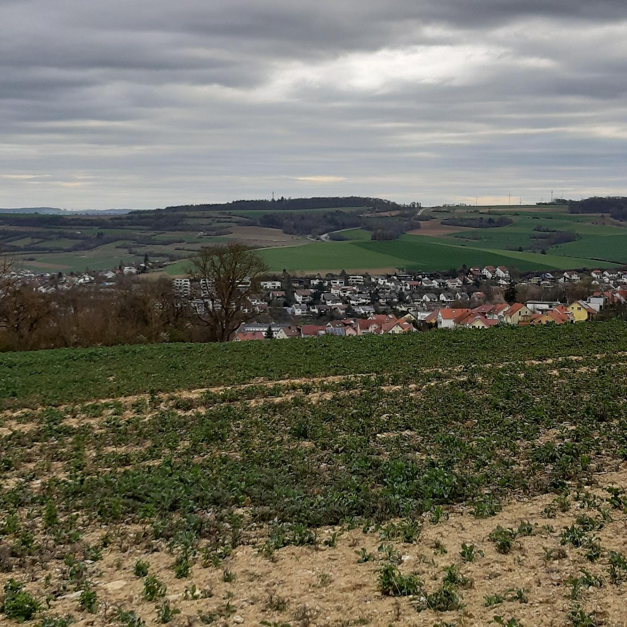
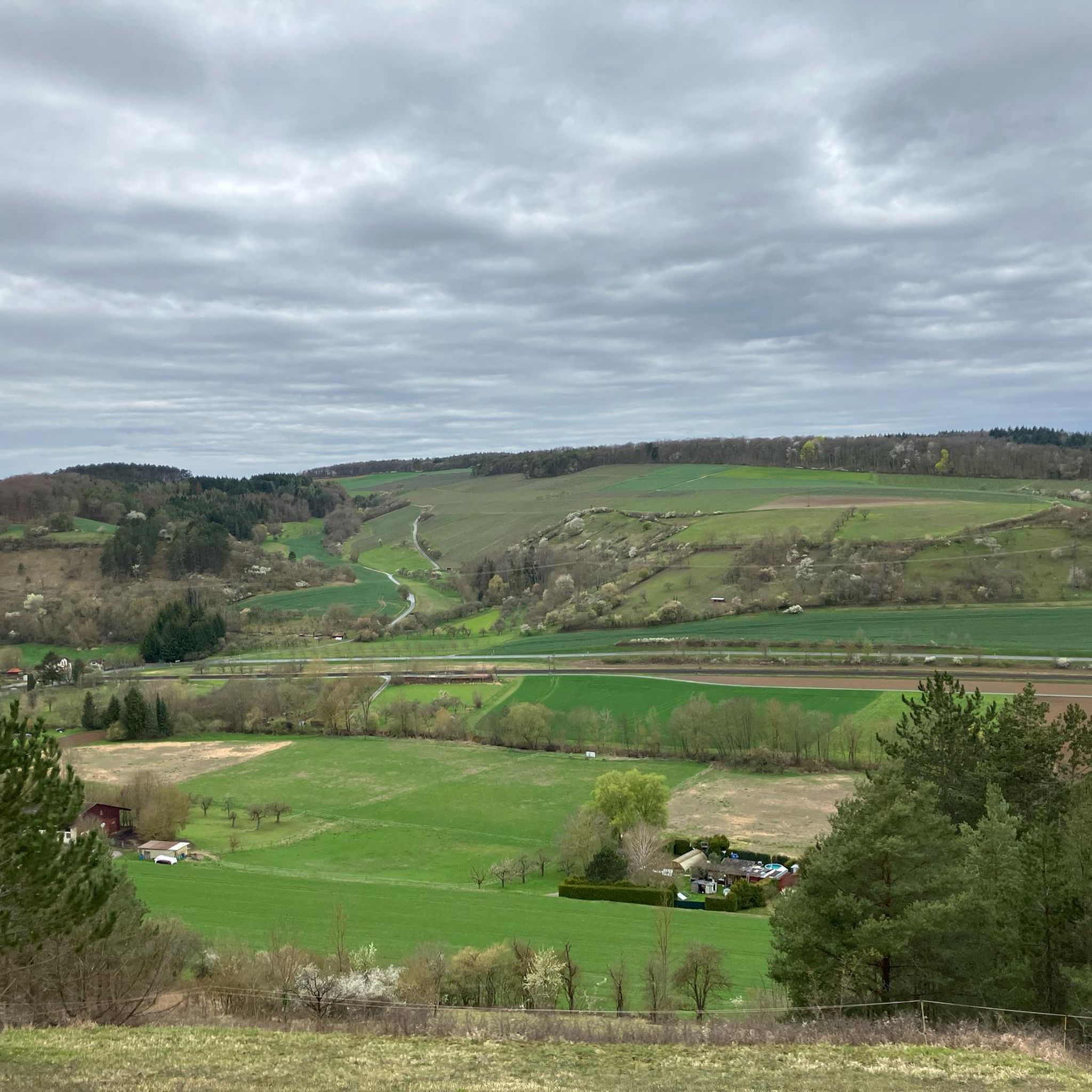
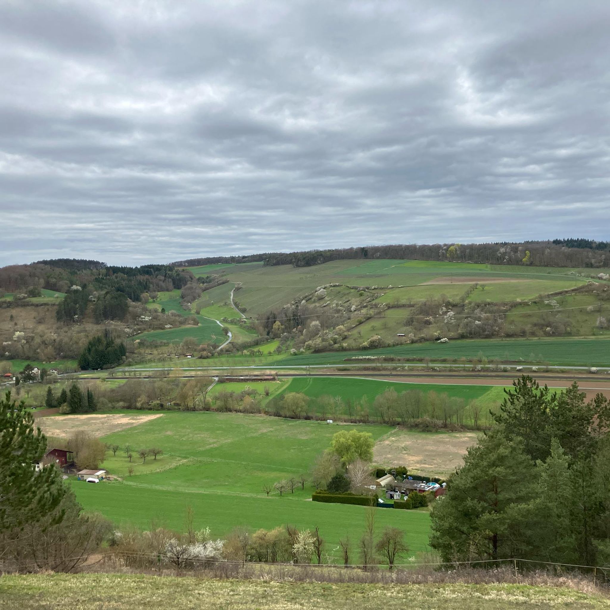
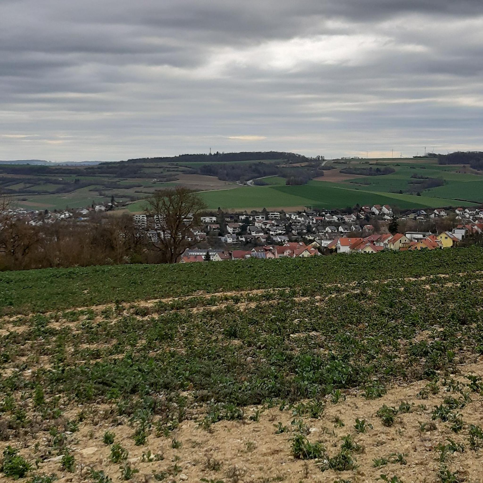
Tips from the Community

St. Kilians Chapel with stream and a bench for resting
0
0

Built in the so-called Heimatstil (regional style) with wooden cladding on the gable. The Heimatstil belongs to the Historicism movement, prevalent from 1830 to approximately 1925.
0
0

The orchard trail is already laid out and offers a wealth of information – perfect for a break, or you can push your bike along the way. You can even taste the apples!
0
0

Bicycle and hiking bridge over the Tauber River. Beautiful view of the Tauber.
2
0

Pedestrian zone decorated on 19 July 2025
1
0

Almost completely overgrown, barely visible
0
0

Beautiful Tauberwehr photographed from the bridge
0
0
The Tauber slowly becomes a little wider
0
0
Frequently Asked Questions
How many touring cycling routes are available in Unterbürgerwald?
Unterbürgerwald offers a diverse network of over 10 touring cycling routes. These routes cater to various skill levels, with a good mix of easy, moderate, and some more challenging options.
What kind of terrain can I expect on touring cycling routes in Unterbürgerwald?
The routes primarily follow the gentle contours of the Tauber river valley, featuring riverside paths, open fields, and passages through forested areas. You'll encounter low-lying hills, such as those around Burg Neuhaus, providing varied but generally manageable terrain.
Are there easy touring cycling routes suitable for beginners or families?
Yes, Unterbürgerwald has several easy touring cycling routes perfect for beginners and families. These routes often feature minimal elevation gain and follow well-maintained paths along the river. An excellent option is the Taubertal Cycle Path – Tauber Weir in Edelfingen loop from Edelfingen, which is 10 miles (16.1 km) long and very flat.
What are the typical distances and elevation gains for touring routes in this region?
Touring routes in Unterbürgerwald vary in length, typically ranging from 10 to 25 miles (16 to 40 km). Elevation gains are generally modest, especially along the river valley, with many easy routes having less than 100 meters of ascent. More moderate routes, like the View of Burg Neuhaus – Tauber Weir in Edelfingen loop from Edelfingen, might involve around 250 meters of elevation.
What attractions or landmarks can I see along the cycling routes?
Many routes offer views of historic architecture and natural beauty. You can pass by the Bridge over the Tauber, explore the Ringelstaler-Weinhalde Nature Reserve, or spot the historic Burg Neuhaus. The Markelsheim Historic Town Hall – Tauber bridge in Markelsheim loop from Edelfingen route, for example, offers views of historic architecture.
Are there circular touring cycling routes in Unterbürgerwald?
Yes, many of the touring cycling routes in Unterbürgerwald are designed as loops, allowing you to start and end at the same point. The Taubertal Cycle Path – Taubertal Cycle Path loop from Edelfingen is a popular circular option, offering a scenic journey along the river.
What is the best time of year for touring cycling in Unterbürgerwald?
The spring, summer, and early autumn months are ideal for touring cycling in Unterbürgerwald. During these seasons, the weather is generally pleasant, and the landscape is vibrant. Autumn offers beautiful foliage, especially along the river and through forested sections.
Can I bring my dog on the touring cycling routes?
Many paths in Unterbürgerwald are suitable for cycling with a dog, especially those along the river or through less crowded areas. Always ensure your dog is on a leash, and be mindful of other cyclists and pedestrians. Remember to bring water for your pet and check local regulations for nature reserves.
What do other touring cyclists enjoy most about cycling in Unterbürgerwald?
The area is highly rated by the komoot community, with an average score of 4.6 stars from over 4,300 reviews. Cyclists often praise the well-maintained paths, the picturesque river valley scenery, and the blend of natural beauty with historic towns. The accessibility of routes for various skill levels is also frequently highlighted.
Are there any longer, more challenging touring routes for experienced cyclists?
While many routes are easy to moderate, there are options for those seeking a longer ride. The Beautiful cycle path – Hollenbacher Lake loop from Edelfingen is a moderate 23.4 miles (37.6 km) route that includes more varied terrain and elevation, offering a good challenge while still being enjoyable.
Where can I find parking or starting points for the cycling routes?
Many routes in Unterbürgerwald, particularly those starting from Edelfingen, offer convenient access. Parking is often available in or near the towns and villages along the Tauber river, which serve as natural trailheads for many of the circular routes. Look for designated parking areas in places like Edelfingen or Markelsheim.
Most popular routes in Unterbürgerwald
Most popular attractions in Unterbürgerwald

Get inspired with the komoot mobile app


Explore more
Browse the best Cycling routes in other regions.
