The best mountain hikes in Flamersheimer Wald
4.9
(33)
63
hikers
4
hikes
Mountaineering routes in Flamersheimer Wald traverse a hilly landscape characterized by diverse forest trails and moderate altitude differences. The region features well-maintained paths, ranging from broad forest tracks to narrower, winding trails. These routes offer varied terrain, providing engaging experiences without being overly strenuous. The area's natural features include prominent reservoirs and opportunities for nature immersion within the forest.
Best mountaineering routes in Flamersheimer Wald
- The most popular mountaineering route is Teufelsley summit – Engelsley Summit Cross loop from Altenahr…
Last updated: July 1, 2026
5.0
(15)
22
hikers
16.6km
05:33
660m
660m
Hard mountaineering route. Very good fitness required. Sure-footedness, sturdy shoes and alpine experience required.
5.0
(1)
2
hikers
22.7km
06:58
740m
740m
Hard mountaineering route. Very good fitness required. Sure-footedness, sturdy shoes and alpine experience required.

Sign up for free
5.0
(1)
2
hikers
4.16km
01:14
90m
90m
Moderate mountaineering route. Great for any fitness level. Mostly accessible paths. Sure-footedness required.
Our route recommendations are based on thousands of hikes, rides, and runs completed by other people on komoot.
Start today with a free account
Your next adventure awaits.
Login or Signup
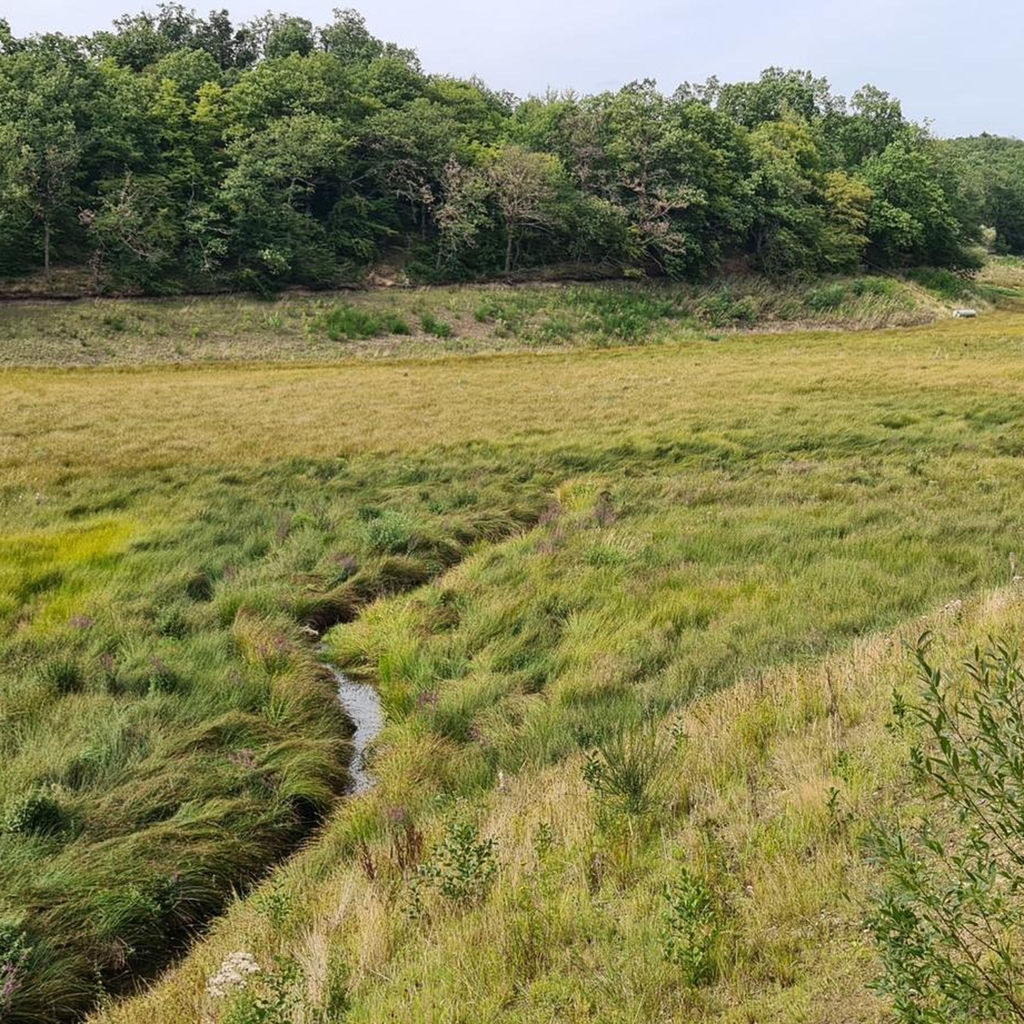
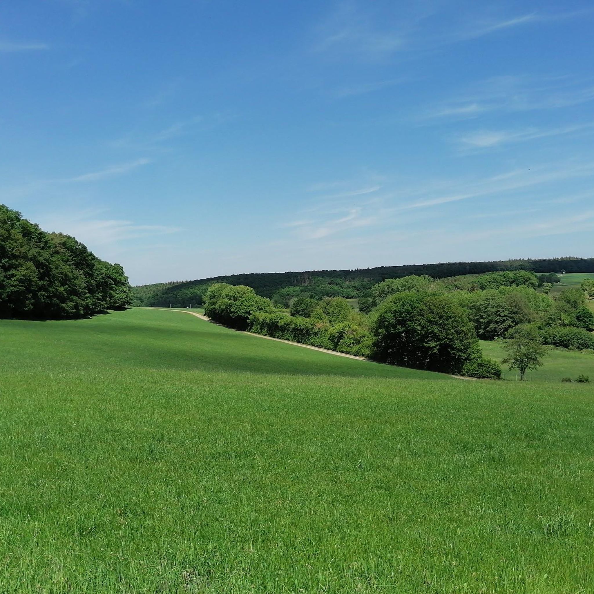
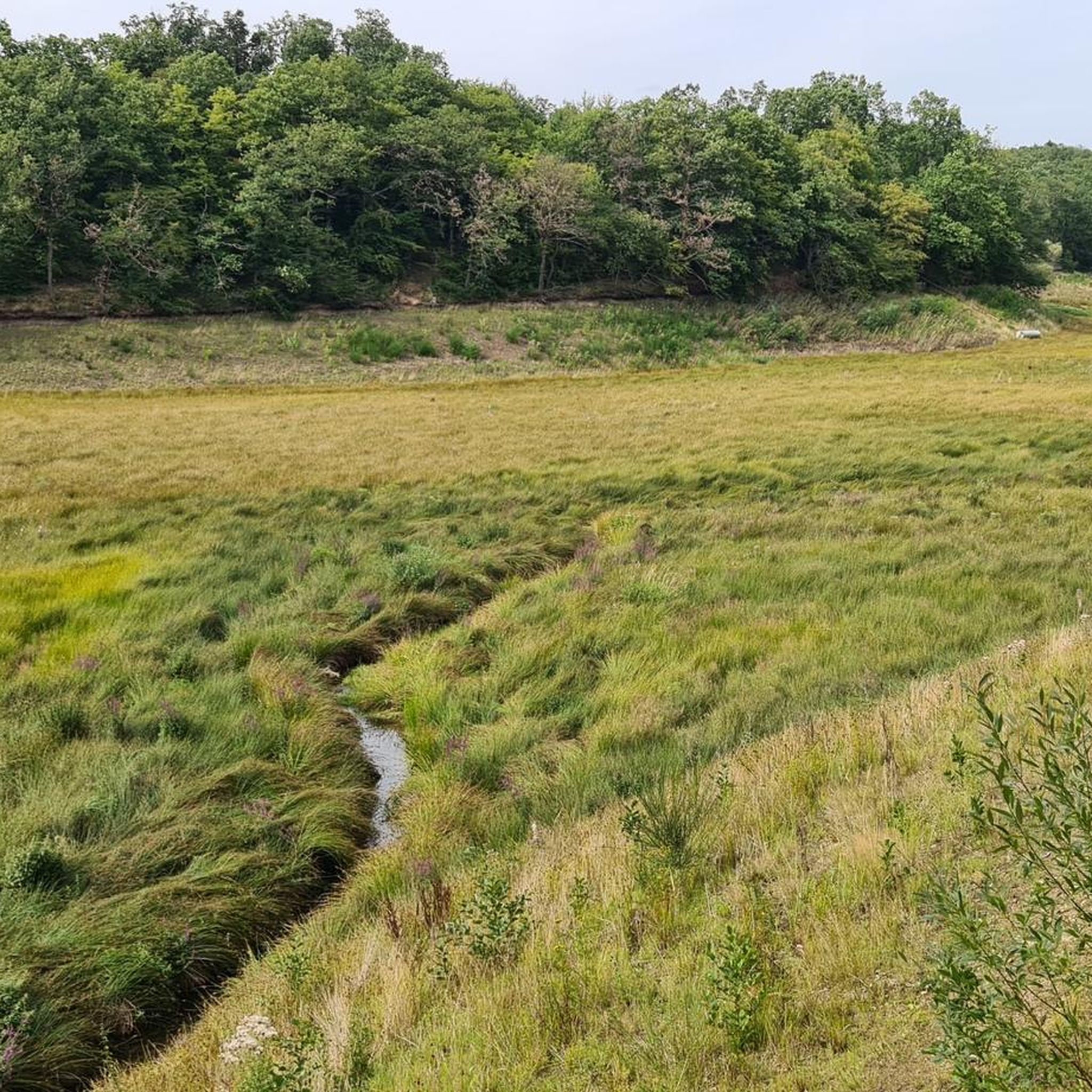
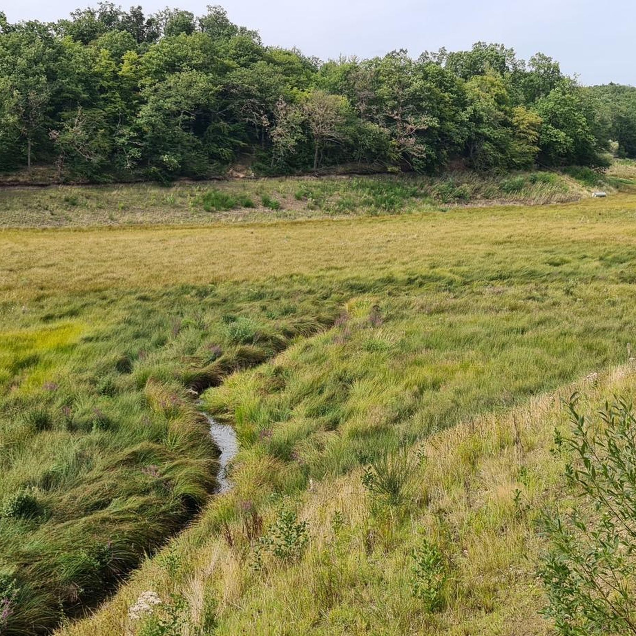
Tips from the Community

During wine week there will be a wine kiosk here and you can buy a holder to put your wine glass in 😀
17
1
The devil once went to the Ahr valley and was so pleased with the land and its people, but especially the excellent red wine, that he forgot his way home. One day, while he was resting on the mountain opposite Are Castle, his grandmother approached him in the form of a beautiful girl. In the arms of the lovesick devil, she quickly changed back into the disgusting old woman he knew all too well. Angrily, he grabbed his grandmother and threw her back through the rock face into hell. This is how the Teufelsloch came into being, which can still be seen above Altenahr today.
20
0

From here you have a nice starting point for the nationally known red wine hiking trail. Other worthwhile hiking destinations are the Black Cross, the Altenahrer Eck or the famous Teufelsloch.
3
0

Beautiful surroundings with many views
3
1

So it's easily accessible again?
5
0

So I have to put that right now, the hiking trails are all set up again and you can hike wonderfully again. The Ahr Valley needs tourism, so come on. It has to go up again
7
0

Really alpine trail with easier climbing sections, not always very stable rock and sometimes finding the way requires a bit of intuition.
4
0

I am always happy when such highlights made with love can be seen.
4
0
Frequently Asked Questions
How challenging are the mountaineering routes in Flamersheimer Wald?
The Flamersheimer Wald offers a mix of routes, with the majority being classified as difficult. However, the region is generally considered 'easy to master' in terms of overall difficulty, featuring moderate altitude differences that make hikes interesting without being overly strenuous. There are also moderate options available for those seeking a less demanding experience.
What kind of terrain can I expect on the trails in Flamersheimer Wald?
You can expect diverse terrain, ranging from well-maintained, broad forest paths to narrower, winding trails. The landscape is hilly, providing varied and engaging routes. You'll be immersed in nature, with the sounds of the forest, and might even encounter muddy meadows during wetter seasons, adding to the natural experience.
How many mountaineering routes are available in Flamersheimer Wald?
There are 5 mountaineering routes detailed in this guide for Flamersheimer Wald, offering a range of experiences from moderate to difficult.
What natural attractions can I discover while mountaineering in Flamersheimer Wald?
While mountaineering in Flamersheimer Wald, you can explore prominent reservoirs like the Madbachtalsperre and the Steinbachtalsperre. The eastern shore of the Steinbachtalsperre often serves as a starting point for tours. You might also encounter the Hunnensiefen Fish Ponds and other scenic forest trails.
Are there any specific viewpoints or scenic spots along the routes?
Many routes offer expansive views, particularly those that traverse higher points. For example, the Teufelsley summit – Altenahrer Eck loop from Altenahr is known for its significant elevation gain and rewarding vistas. The trails themselves, winding through dense woodlands, provide continuous natural beauty.
What do other mountaineers appreciate about the routes in Flamersheimer Wald?
The routes in Flamersheimer Wald are highly rated by the komoot community, with an average score of 4.9 stars. Mountaineers often praise the varied terrain, the immersive forest experience, and the well-maintained paths that offer engaging challenges without being overly strenuous.
Are the mountaineering routes in Flamersheimer Wald suitable for families?
While some routes are classified as difficult, the overall terrain in Flamersheimer Wald is described as 'easy to master' with moderate altitude differences. This suggests that some of the shorter, less strenuous routes, such as the Devil's Hole – Devil's Hole Mountain Trail loop from Altenahr, could be suitable for families with some hiking experience.
Can I bring my dog on the mountaineering trails in Flamersheimer Wald?
Yes, the Flamersheimer Wald is generally dog-friendly. The Madbachtalsperre, a prominent feature in the area, even provides opportunities for dogs to swim and cool off, especially during warmer months.
Are there circular mountaineering routes available in Flamersheimer Wald?
Yes, all the mountaineering routes highlighted in this guide are circular loops. This includes popular options like the Teufelsley summit – Engelsley Summit Cross loop from Altenahr and the Teufelsley summit loop from Altenahr, allowing you to start and end at the same point.
What are some longer mountaineering options in Flamersheimer Wald?
For those seeking a longer challenge, the Teufelsley summit loop from Altenahr spans nearly 12 miles (19.1 km) and typically takes around 6 hours to complete. Another substantial option is the Teufelsley summit – Altenahrer Eck loop from Altenahr, which is 10.9 miles (17.6 km) long.
Are there any moderate mountaineering routes in Flamersheimer Wald?
Yes, there are moderate options available. For example, the Devil's Hole – Devil's Hole Mountain Trail loop from Altenahr is a moderate route, offering a shorter distance of 2.3 miles (3.7 km) with less elevation gain, making it a good choice for those looking for a less strenuous hike.
Most popular routes in Flamersheimer Wald
Most popular attractions in Flamersheimer Wald

Get inspired with the komoot mobile app


Explore more
Browse the best Mountain Hikes & Routes in other regions.
