The best running trails in Hochpochtener Wald
4.3
(173)
1,279
runners
144
runs
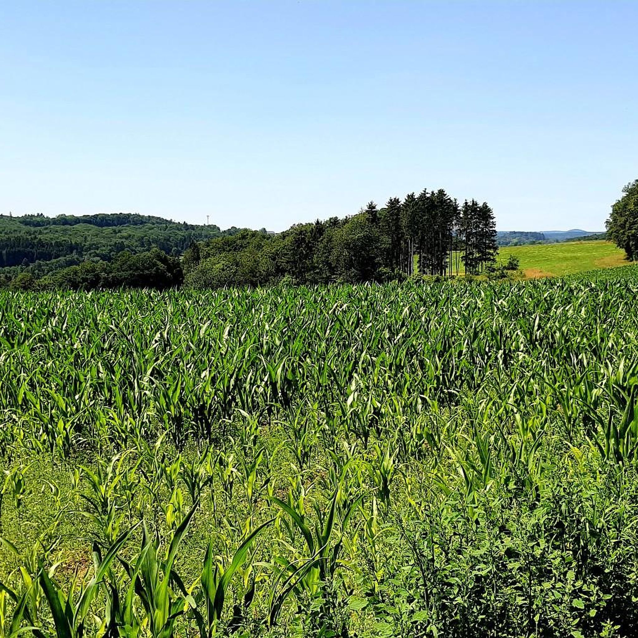
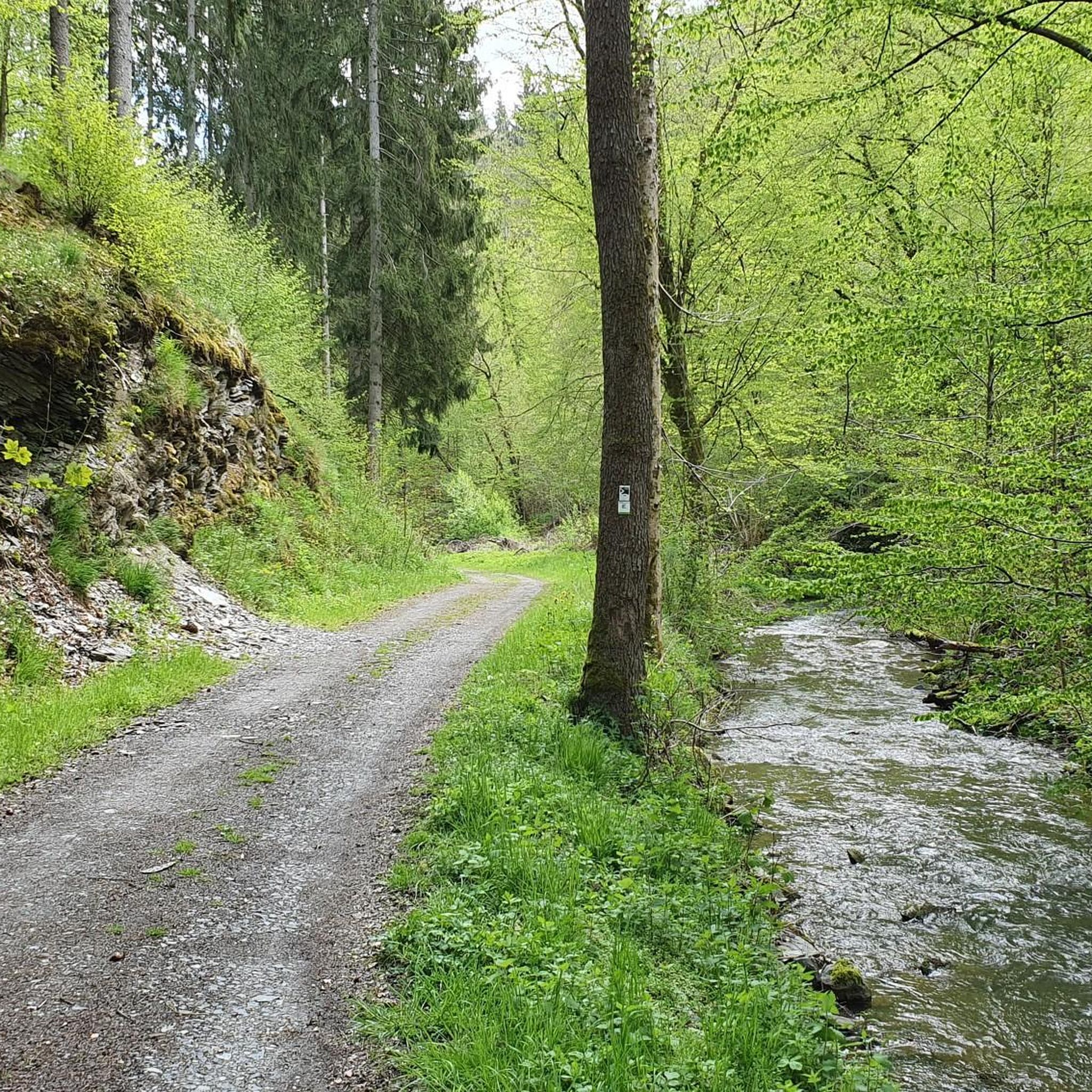
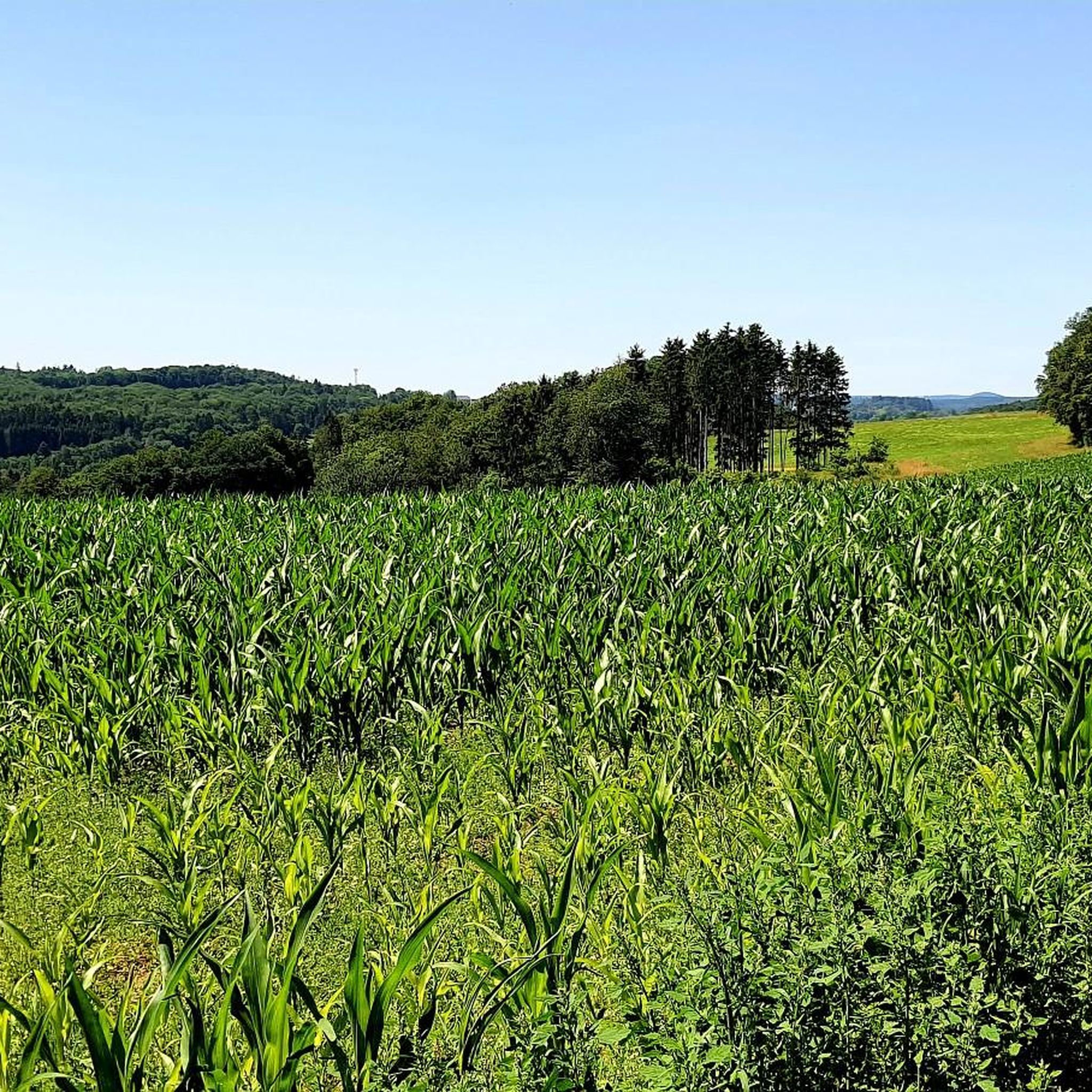
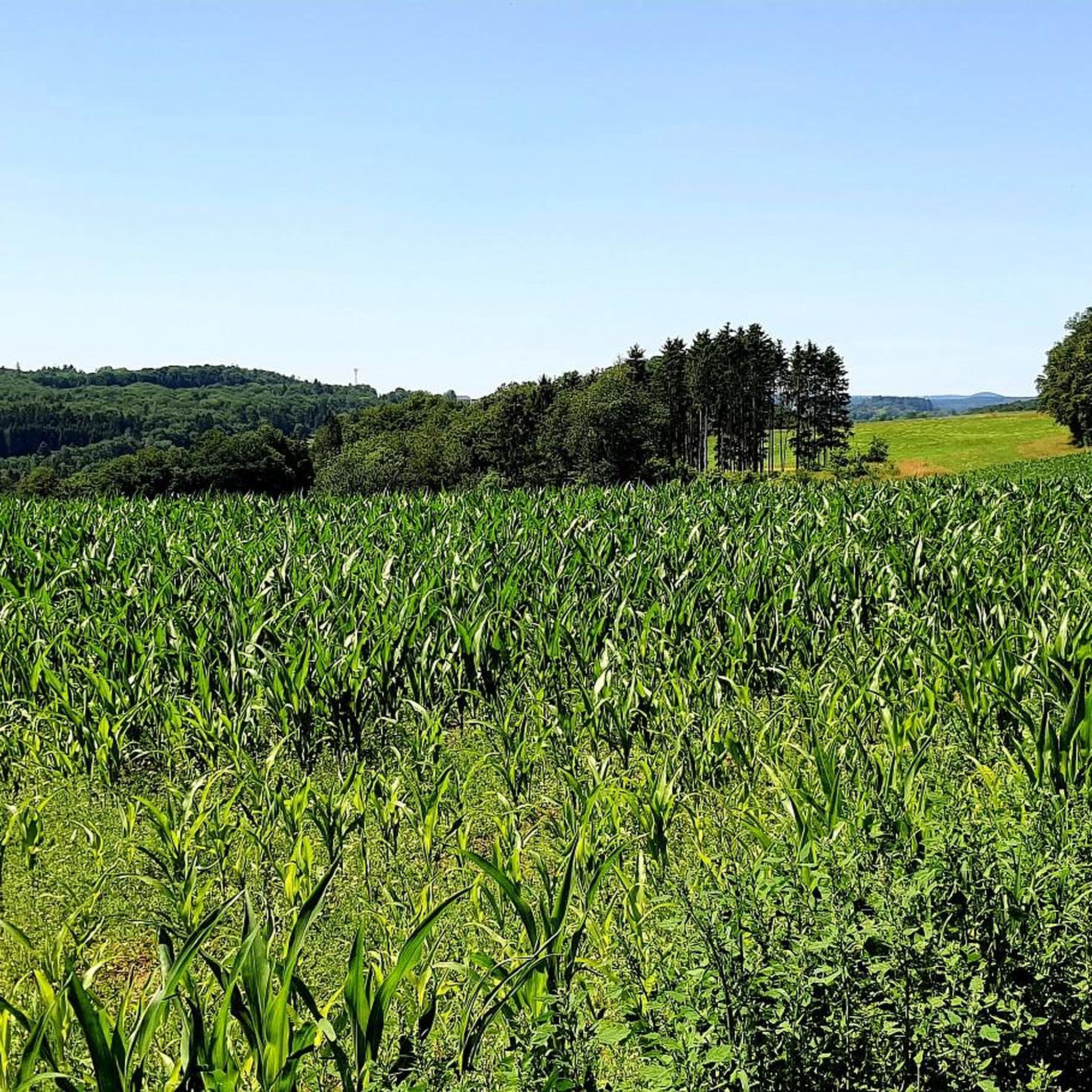
Jogging in Hochpochtener Wald offers a varied terrain characterized by extensive forests and rolling hills, providing diverse elevation changes. The region features tranquil streams and unique geological formations like rocky outcrops, enhancing the natural beauty of the running routes. A prominent natural highlight is the Endert Valley, where the Endert river flows through a wild forest valley, largely undisturbed by roads. This area provides a picturesque backdrop for trails, often featuring wooden bridges along the Endert.
Best jogging routes in…
Last updated: July 10, 2026
5.0
(1)
9
runners
7.33km
00:48
120m
120m
Moderate run. Good fitness required. Mostly paved surfaces. Suitable for all skill levels.
4.3
(3)
3
runners
5.15km
00:33
80m
80m
Moderate run. Good fitness required. Mostly paved surfaces. Suitable for all skill levels.

Sign up for free
4.0
(2)
7
runners
15.3km
01:44
260m
260m
Hard run. Very good fitness required. Mostly paved surfaces. Suitable for all skill levels.
6
runners
15.0km
01:36
200m
200m
Hard run. Very good fitness required. Mostly paved surfaces. Suitable for all skill levels.
4.8
(5)
21
runners
7.05km
00:45
70m
70m
Moderate run. Good fitness required. Mostly paved surfaces. Suitable for all skill levels.
Get access to more routes and recommendations from other explorers.
Sign up for free
Already have an account?
Our route recommendations are based on thousands of hikes, rides, and runs completed by other people on komoot.
Start today with a free account
Your next adventure awaits.
Login or Signup

Tips from the Community

1 million years of geology. Worth putting your bike aside for a moment.
6
0

Historic chapel and stamping point for Camino hikers.
0
0

A beautiful country road leads over the hills here before descending into the valley towards Cochem.
0
0

A large wooden bench with a slide will be set up at the Eifelblicke Höchstberg rest area. The views are even more beautiful from there.
0
0

The area around the Jungferweiher is a nature reserve. Many birds and other animals have settled here.
3
0
Chapel on Kapellenstrasse: small hall building with niche relief, supposedly dating back to the 16th century, rebuilt in 1921 as a war memorial chapel.
0
0

The Ulmener Maar tunnel connects the Ulmener Maar with the Jungferweiher Maar and is 120 meters long and 70 cm wide at its narrowest point. Different rock layers from the volcanic history can be seen. Display boards and paintings on the tunnel make the history very interesting. The tunnel was used to channel water from the two maars into the Ulmener Bach to the mills. Next to the tunnel, two drains and bulkheads are used to regulate the water level.
8
1

In the morning or late afternoon, when everything is quiet again, you can watch many birds here.
2
0
Frequently Asked Questions
How many running routes are available in Hochpochtener Wald?
Hochpochtener Wald offers a wide selection of running trails, with over 140 routes available for exploration. These range in difficulty and length, ensuring options for various fitness levels.
What kind of terrain can I expect on the jogging trails in Hochpochtener Wald?
Runners in Hochpochtener Wald will encounter diverse terrain characterized by extensive forests and rolling hills, providing varied elevation changes. The region also features tranquil streams and unique geological formations like rocky outcrops, enhancing the natural beauty of the routes. The Endert Valley, with its wild forest and wooden bridges, is a prominent natural highlight.
Are there running routes suitable for beginners or those looking for an easier run?
Yes, Hochpochtener Wald has routes suitable for all levels. There are 22 easy running trails, perfect for beginners or those seeking a more relaxed pace. Additionally, many of the 108 moderate routes can be enjoyed by those with some running experience.
What do other runners say about the trails in Hochpochtener Wald?
The running trails in Hochpochtener Wald are highly regarded by the komoot community, boasting an average rating of 4.2 stars from over 140 reviews. More than 1200 runners have used komoot to explore the varied terrain, often praising the scenic beauty and diverse landscapes.
Are there any challenging running trails for experienced runners?
Absolutely. For those seeking a more demanding run, Hochpochtener Wald features 15 difficult trails. An example is the Maiden Pond – Jungfer Pond loop from Höchstberg, a 9.6-mile (15.5 km) trail leading through extensive forests and past ponds, which typically takes about 1 hour 45 minutes to complete.
Can I find circular running routes in the Hochpochtener Wald region?
Yes, many of the running routes in Hochpochtener Wald are designed as loops, offering convenient circular paths. Popular options include the Running loop from Vorpochten, a 4.5-mile (7.3 km) moderate trail, and the Running loop from Müllenbach, a shorter 3.2-mile (5.1 km) path through woodlands.
What interesting sights or landmarks can I see along the running routes?
The trails in Hochpochtener Wald offer several points of interest. You can discover the charming Wooden Bridges Along the Endert, explore the scenic Endert Valley Trail, or visit the prettily designed Saint Jude Shrine in the Endert Valley. Other notable features include the historic Schneider Cross (1668).
Are the running trails in Hochpochtener Wald suitable for dogs?
While specific regulations for dogs are not detailed, the extensive forests and natural trails of Hochpochtener Wald generally provide a great environment for running with dogs, especially on leash. It's always advisable to check local signage for any specific restrictions in certain areas or nature reserves.
What is the best time of year to go jogging in Hochpochtener Wald?
Hochpochtener Wald offers a beautiful running experience throughout the year. Spring brings lush greenery, summer provides shaded forest paths, and autumn transforms the landscape with vibrant colors. Winter running can be picturesque, but trail conditions might vary, so checking local weather and trail reports is recommended.
Are there any longer running routes for endurance training?
Yes, for longer runs, you can explore routes like the Litzbach Stream – Alflen War Memorial Chapel loop from Alflen, which spans 9.6 miles (15.4 km). Another excellent option is the Litzbach Stream loop from Alflen, covering 6.9 miles (11.2 km) with varied elevation.
Is Hochpochtener Wald suitable for family-friendly running or walks?
The diverse terrain and varied lengths of routes in Hochpochtener Wald make it suitable for families. While some trails are more challenging, there are 22 easy routes that can be enjoyed by families looking for a gentle run or a scenic walk together through the forests.
Most popular routes in Hochpochtener Wald
Most popular attractions in Hochpochtener Wald

Get inspired with the komoot mobile app


Explore more
Browse the best Running Trails & Routes in other regions.
