The best walks and hikes in the Gogurock Range
4.7
(50)
585
hikers
11
hikes
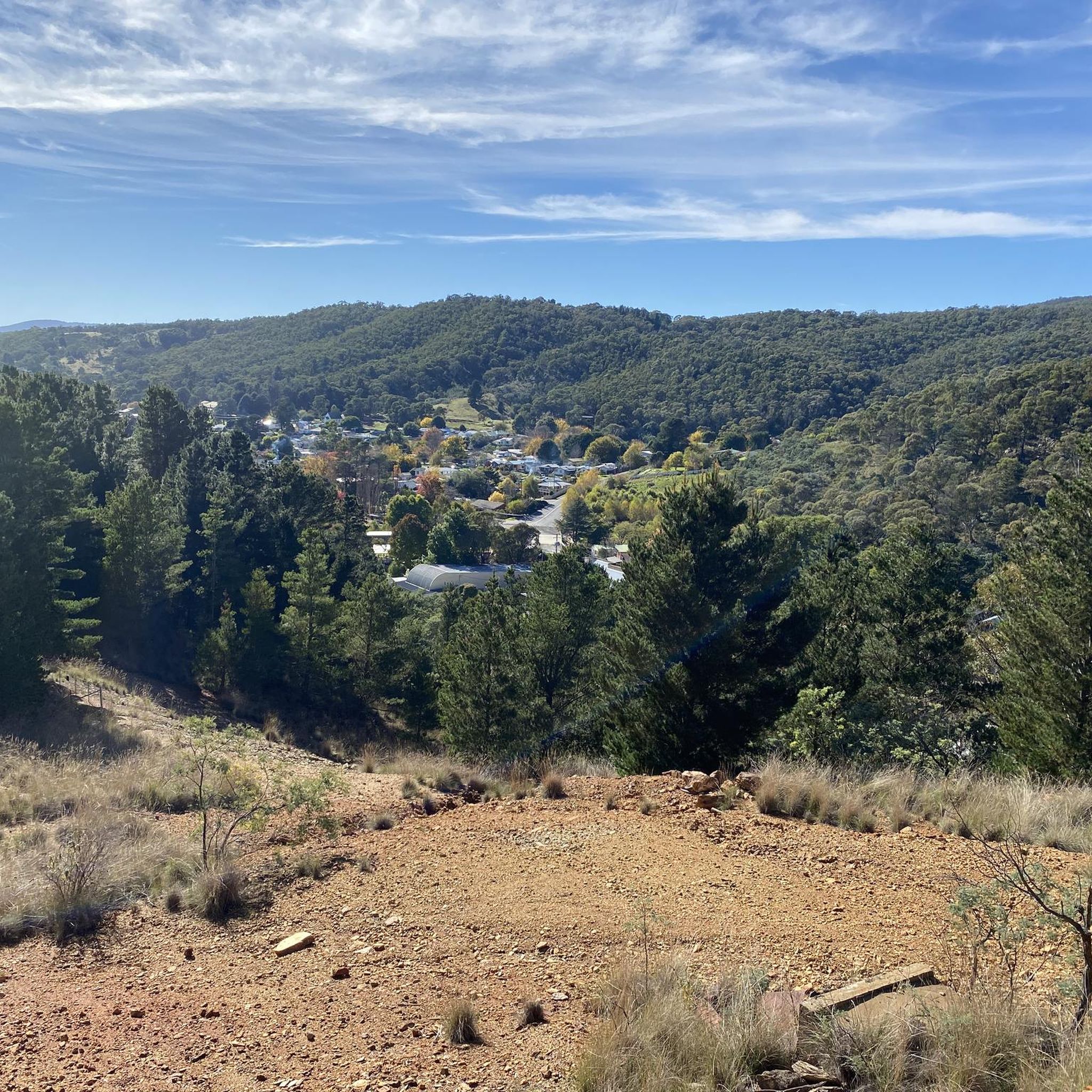
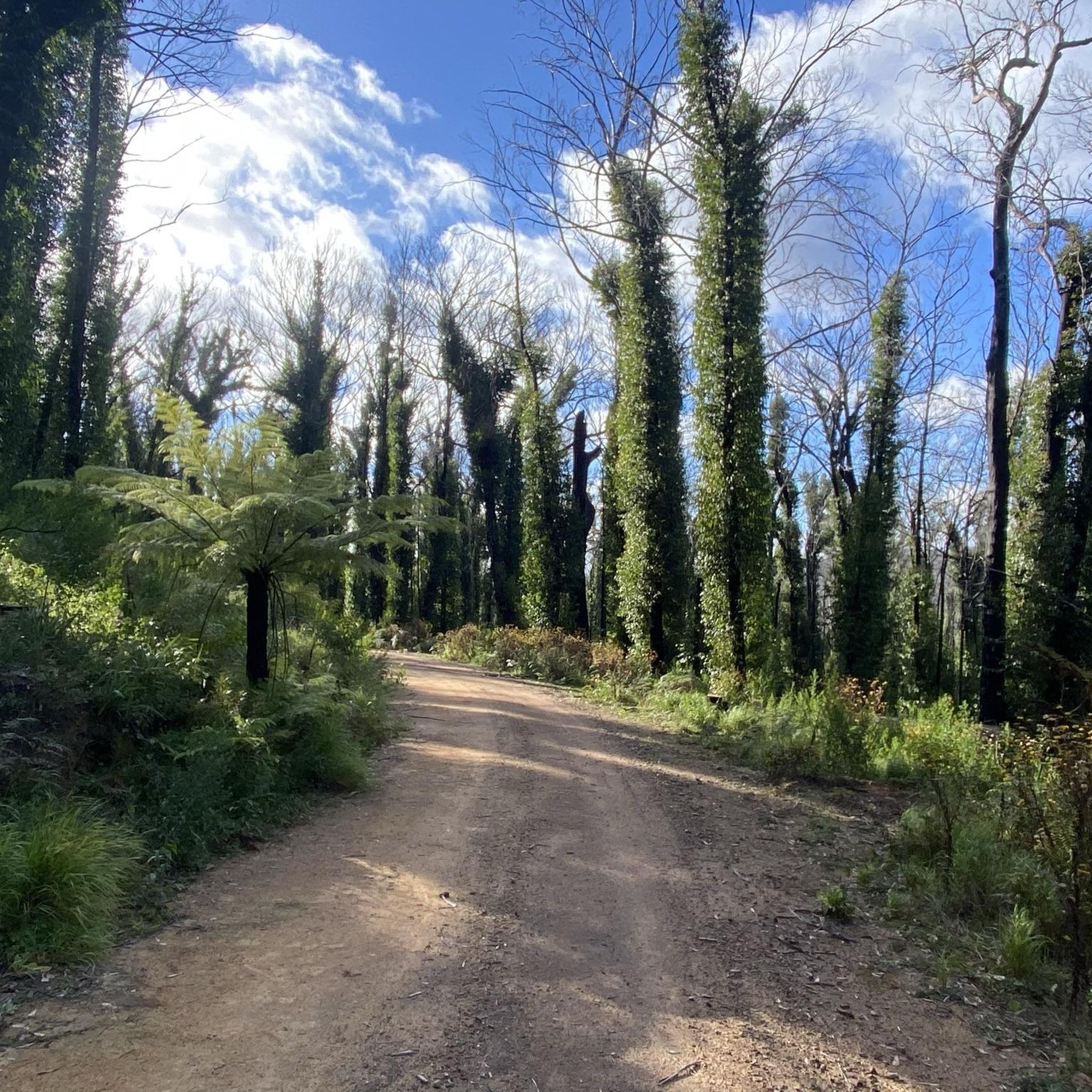
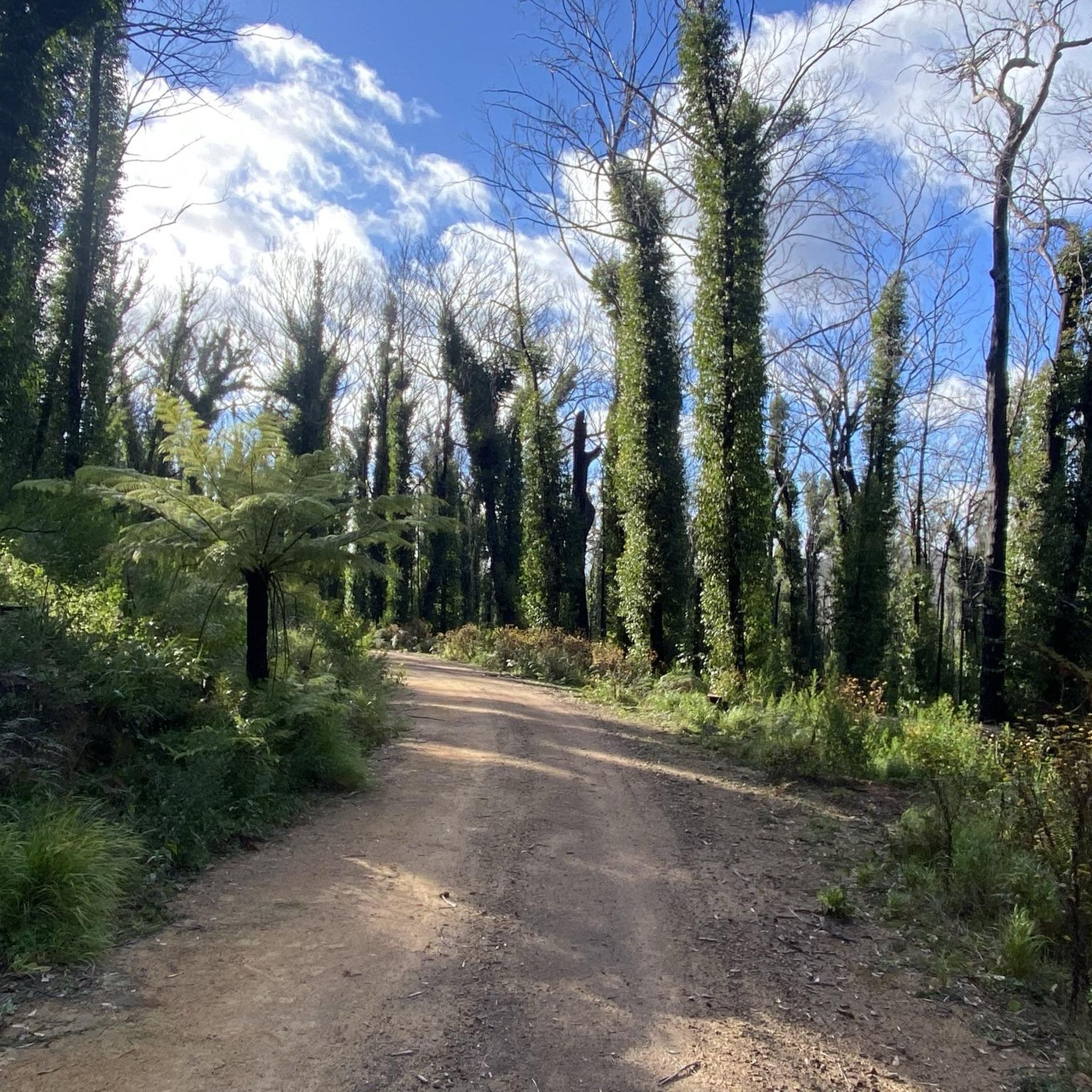
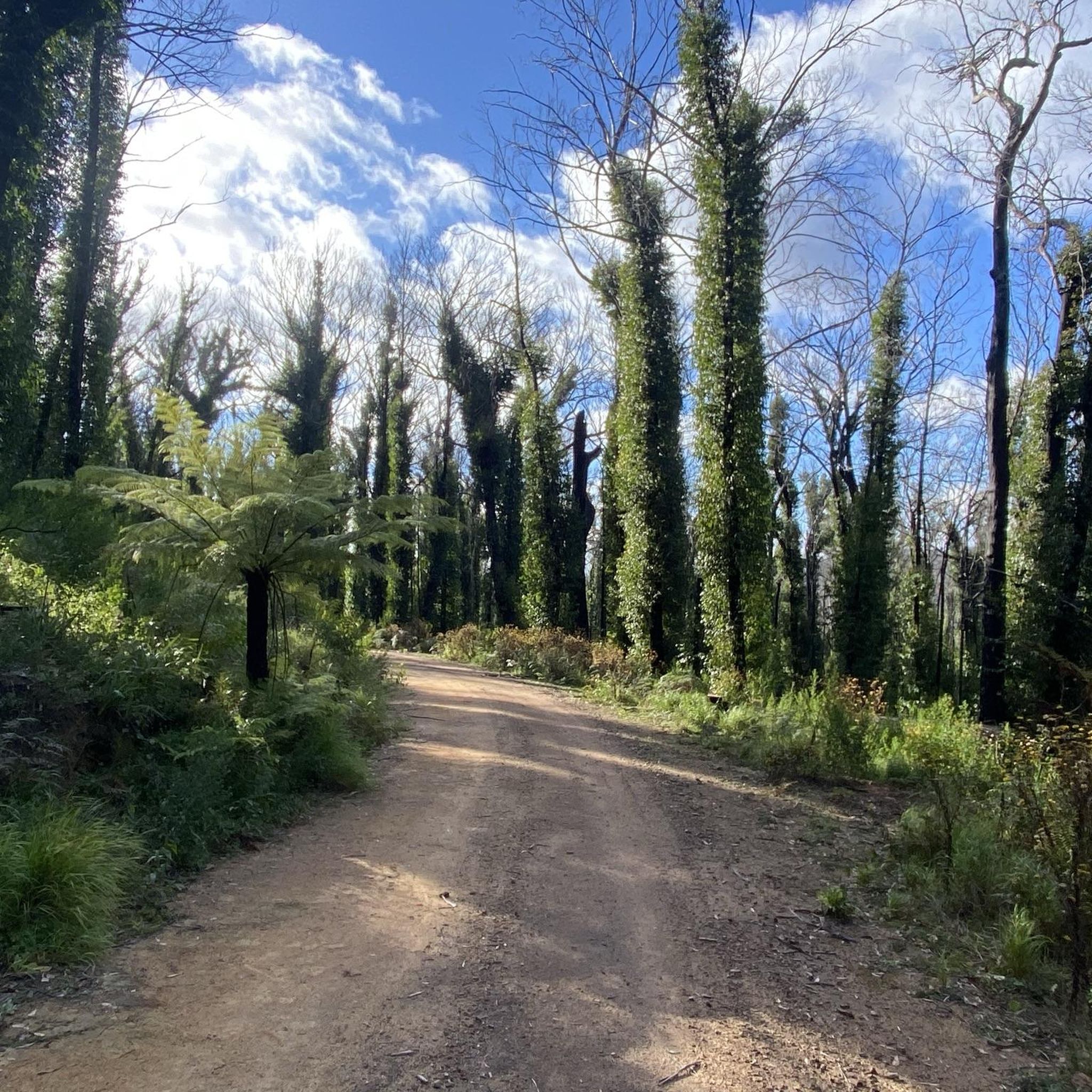
Hiking in the Gogurock Range features diverse landscapes, including prominent mountains, river valleys, and scenic lake views. The region is characterized by a mix of forested areas, rocky outcrops, and deep gorges, offering varied terrain for outdoor activities. Trails often lead to elevated lookouts, providing expansive views of the surrounding natural environment. This area provides a range of hiking experiences, from gentle paths to more challenging ascents.
Best hiking trails in the Gogurock Range
- The most popular hiking route is…
Last updated: July 5, 2026
4.7
(10)
133
hikers
6.94km
03:06
410m
410m
Moderate hike. Good fitness required. Mostly accessible paths. Sure-footedness required.
5.0
(1)
24
hikers
11.5km
03:24
310m
310m
Moderate hike. Good fitness required. Easily-accessible paths. Suitable for all skill levels.

Sign up for free
4.3
(6)
42
hikers
9.00km
02:32
180m
180m
Hard hike. Good fitness required. Sure-footedness, sturdy shoes and alpine experience required.
4.0
(1)
28
hikers
Easy hike. Great for any fitness level. Easily-accessible paths. Suitable for all skill levels.
4.0
(1)
28
hikers
8.28km
02:12
80m
80m
Moderate hike. Good fitness required. Easily-accessible paths. Suitable for all skill levels.
4.8
(5)
23
hikers
5.32km
03:00
460m
460m
Hard hike. Good fitness required. Sure-footedness, sturdy shoes and alpine experience required.
5.0
(1)
8
hikers
Easy hike. Great for any fitness level. Easily-accessible paths. Suitable for all skill levels.
12
hikers
4.01km
01:11
110m
110m
Easy hike. Great for any fitness level. Easily-accessible paths. Suitable for all skill levels.
11
hikers
3.94km
01:00
10m
10m
Easy hike. Great for any fitness level. Easily-accessible paths. Suitable for all skill levels.
5.0
(1)
14
hikers
Easy hike. Great for any fitness level. Easily-accessible paths. Suitable for all skill levels.
Our route recommendations are based on thousands of hikes, rides, and runs completed by other people on komoot.
Start today with a free account
Your next adventure awaits.
Login or Signup

Tips from the Community

Red Track is Bungonia National Park’s most challenging hiking trail that takes you down a steep descent into the spectacular Slot Gorge before climbing back to the plateau. This walk is rated a Grade 5 and is suited only for experienced walkers with a high level of fitness, excellent navigation skills, and off-track experience. If you do not meet these criteria, there are several other scenic tracks in the park to explore. Mobile reception is nonexistent along this route, and there are no water resupply points, so plan to carry plenty of water, a PLB, your downloaded komoot GPS, a printed map, and remember to register at the visitor centre before setting off. This route follows a rough bush track, crosses Bungonia Creek, and requires scrambling over large limestone boulders; however, your reward is a close-up view of the park’s fantastic gorge scenery that is worth every step.
0
0
Pigeon House Mountain, also known as Didthul, is a unique sandstone peak rising above the Budawang landscape in Morton National Park, recognised for its dome-like shape and cultural significance to local Aboriginal communities. Reached by a set of steel ladders, the summit offers panoramic views across the rugged wilderness and deep valleys, and on clear days, you can see all the way to the coastline.
0
0
This viewpoint on the Pigeon House Walking Track is a rocky lookout with a great bench that sits just short of the summit ladders, with expansive views across the Budawang Wilderness and surrounding sandstone escarpments. Positioned on the ridge below the summit dome, it’s a rewarding stopping point where you can look out over the forested valleys, rugged peaks, and distant wilderness landscapes before the final climb.
0
0
Pigeon House Walking Track is a relatively steep but rewarding bushwalk in the southern section of Morton National Park, climbing through forest, heath, and sandstone country to the summit of Pigeon House Mountain (Didthul). The track includes stone steps and a series of metal ladders near the top, and the higher you climb, the more expansive the views get over the Budawang Wilderness, cliffs, and the coastline in the distance. The open woodland, rugged rock formations, and sweeping summit scenery make this one of the South Coast’s most memorable walks.
0
0

Marble Arch is an arch-shaped natural rock formation eroded from sandstone. It can be reached from the Marble Arch Track, a bushwalk that ascends and descends through the forests of the Blue Mountains to this arch along Reedy Creek, to Marble Arch where the track terminates.
0
0

The rock off the headland (Murunna) here resembles a horse's head.
0
0
This freshwater hole on the southern side of Murunna was an important sacred place for Yuin women.
0
0
Frequently Asked Questions
What is the general difficulty level of hiking trails in the Gogurock Range?
The Gogurock Range offers a diverse range of hiking experiences. You'll find trails suitable for various fitness levels, with 6 easy routes, 2 moderate routes, and 2 difficult routes available. This variety ensures there's something for everyone, from leisurely strolls to challenging ascents.
Are there family-friendly hiking options in the Gogurock Range?
Yes, the Gogurock Range has several easy trails perfect for families. For instance, the Shoalhaven River View – Lake Yarrunga View loop from Lake Yarrunga View is an easy 4.7-mile (7.6 km) trail that offers beautiful river and lake landscapes, ideal for a family outing.
Are dogs allowed on hiking trails in the Gogurock Range?
Regulations regarding dogs can vary by specific trail or park area within the Gogurock Range. It's always best to check the local park authority's guidelines for the particular trail you plan to hike to ensure it's dog-friendly.
When is the best time of year to hike in the Gogurock Range?
The Gogurock Range can be enjoyed year-round, but spring and autumn generally offer the most pleasant hiking conditions with milder temperatures and vibrant scenery. Summer can be warm, especially in exposed areas, while winter offers cooler, crisp air, though some higher elevation trails might be more challenging.
What kind of gear or clothing should I wear for hiking in the Gogurock Range?
Given the varied terrain, including rocky outcrops and potential elevation changes, sturdy hiking boots are highly recommended. Layered clothing is advisable to adapt to changing weather conditions, and always carry sufficient water, sun protection, and a map or GPS device.
Are there any circular hiking routes in the Gogurock Range?
Absolutely! Many trails in the Gogurock Range are designed as loops, allowing you to start and end at the same point. Examples include the Pigeon House Mountain loop from Woodburn and the Adams Lookout – Mount Ayre Lookout loop from Bungonia National Park, offering diverse experiences from mountain peaks to multiple lookouts.
What can I see along the hiking trails in the Gogurock Range?
Hikers in the Gogurock Range can discover a variety of natural and scenic attractions. Notable points of interest include the unique rock formations of Camel Rock and Women's Head Rock, and the expansive views from Fred Piper Memorial Lookout. These highlights offer great spots for breaks and photography.
What do other hikers enjoy the most about hiking in the Gogurock Range?
The Gogurock Range is highly rated by the komoot community, with an average score of 4.6 stars from over 40 reviews. Hikers often praise the diverse landscapes, from prominent mountains to scenic river and lake views, and the well-maintained trails that cater to different ability levels.
Are there any easy hikes suitable for beginners in the Gogurock Range?
Yes, beginners can enjoy several easy hikes. The Horse Head Rock – Sacred Waterhole at Murunna loop from Wallaga Lake Heights is an easy 2.7-mile (4.4 km) trail, offering a gentle introduction to the region's beauty. Another option is the Hiking loop from Pambula, which is also easy and relatively short.
How long do hiking trails in the Gogurock Range typically take to complete?
Trail durations vary significantly based on length and difficulty. For example, an easy trail like the East View Across Deua Valley – The Big Hole loop from Berlang Campground and Picnic Area can take around 1 hour 10 minutes, while a more challenging route like the Bungonia Gorge loop from Bungonia National Park might require closer to 3 hours.
Are there any cafes or places to eat near the hiking routes?
While specific cafes directly on every trailhead might be limited, the region does offer options. For example, the Bemboka Pie Shop is a well-known stop in the broader Gogurock Range area, popular with travelers and hikers looking for a bite to eat.
Can I reach hiking trails in the Gogurock Range using public transport?
Public transport options to specific trailheads in the Gogurock Range can be limited, as many routes are in more remote natural areas. It's generally recommended to have private transportation for easier access to the starting points of most hikes. Always check local transport schedules for specific routes if you plan to rely on public services.
Are there any trails with prominent viewpoints in the Gogurock Range?
Yes, the Gogurock Range is known for its elevated lookouts and scenic vistas. The Jerrara Canyon Lookout loop from Bungonia National Park offers impressive views, and many trails, including the View of Tamala River Dam loop from Lake Yarrunga View, provide expansive outlooks over the diverse natural environment.
Most popular routes in the Gogurock Range
Most popular attractions in the Gogurock Range

Get inspired with the komoot mobile app


Explore more
Browse the best Hikes in other regions.
