The best running trails in Scharrler Forst
4.5
(279)
3,512
runners
272
runs
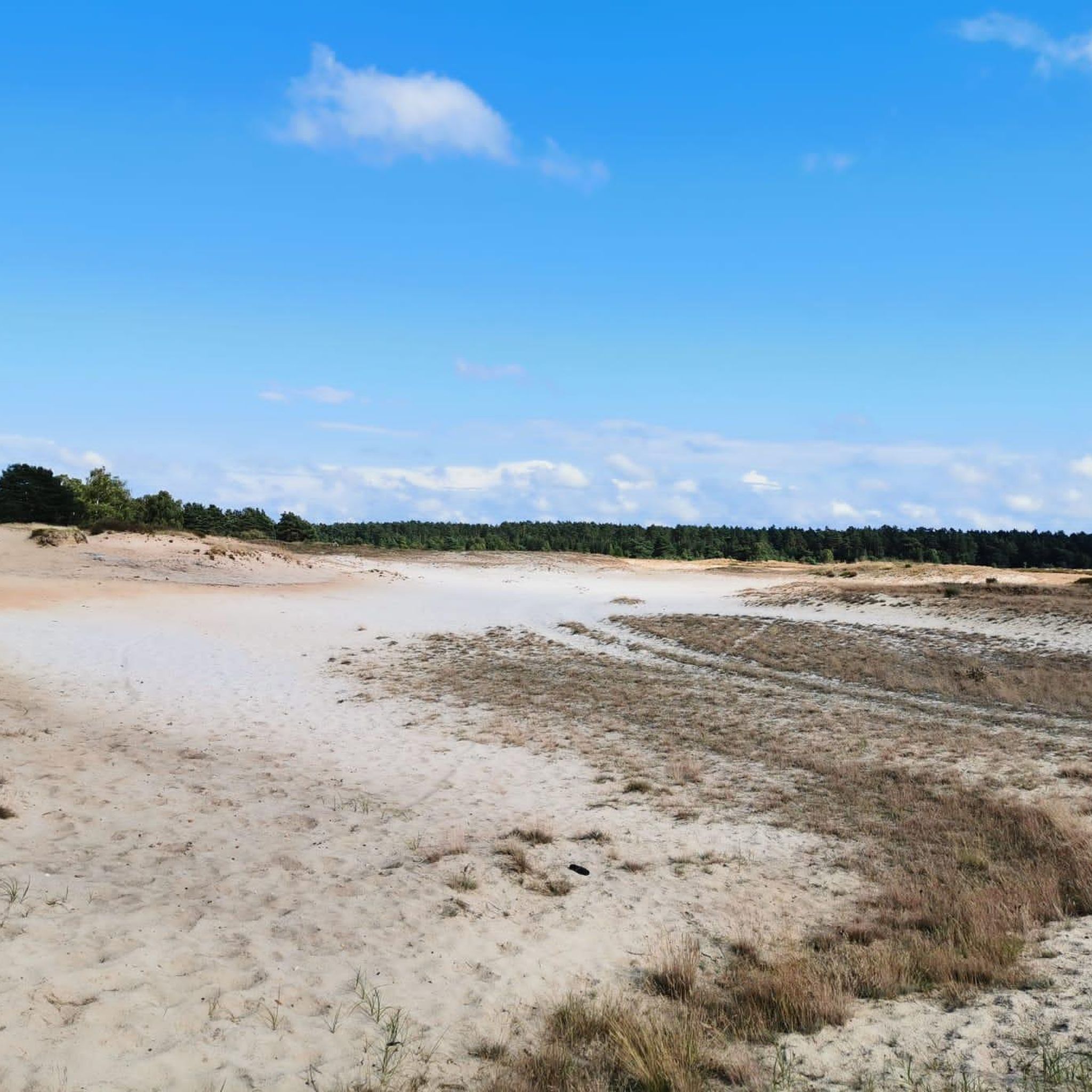
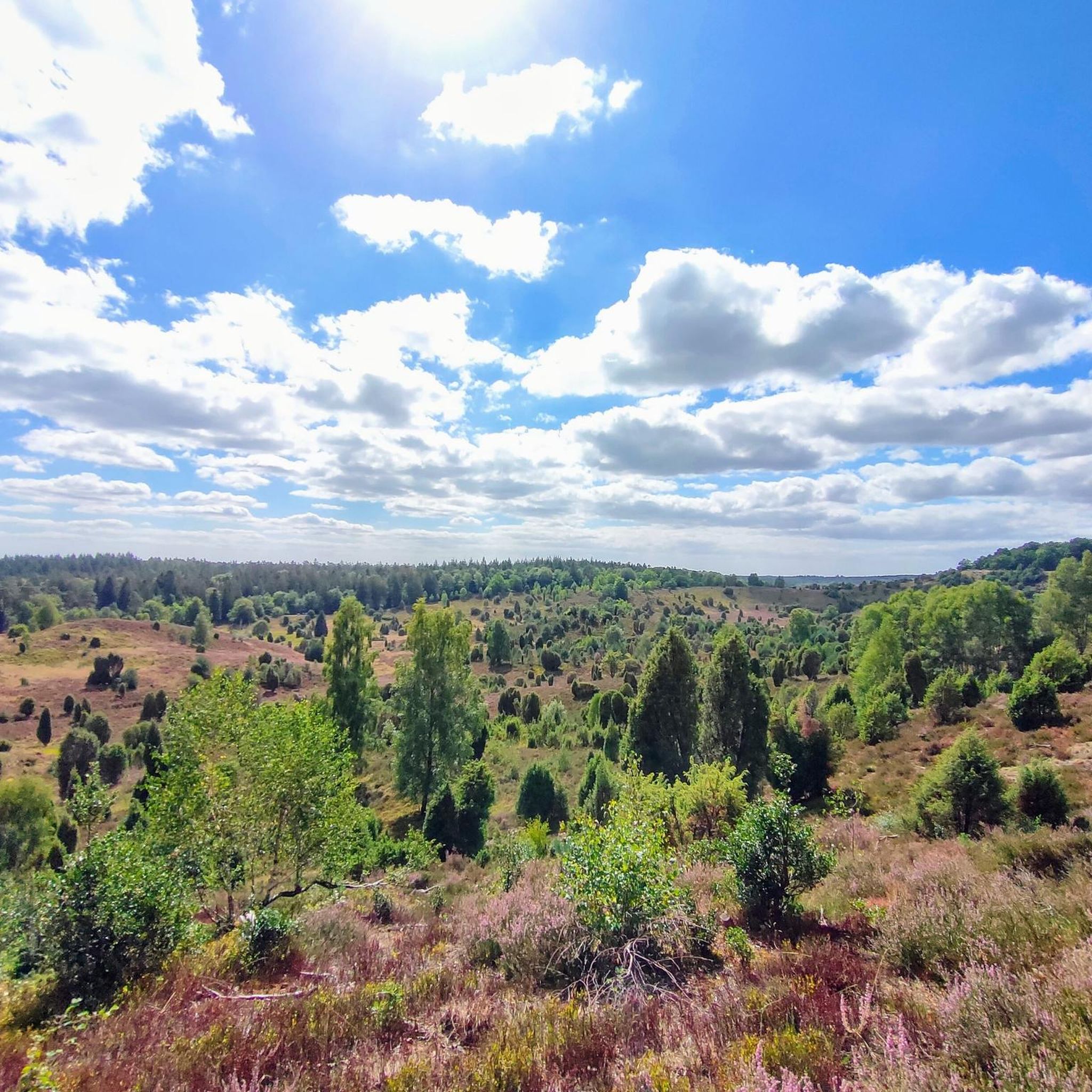
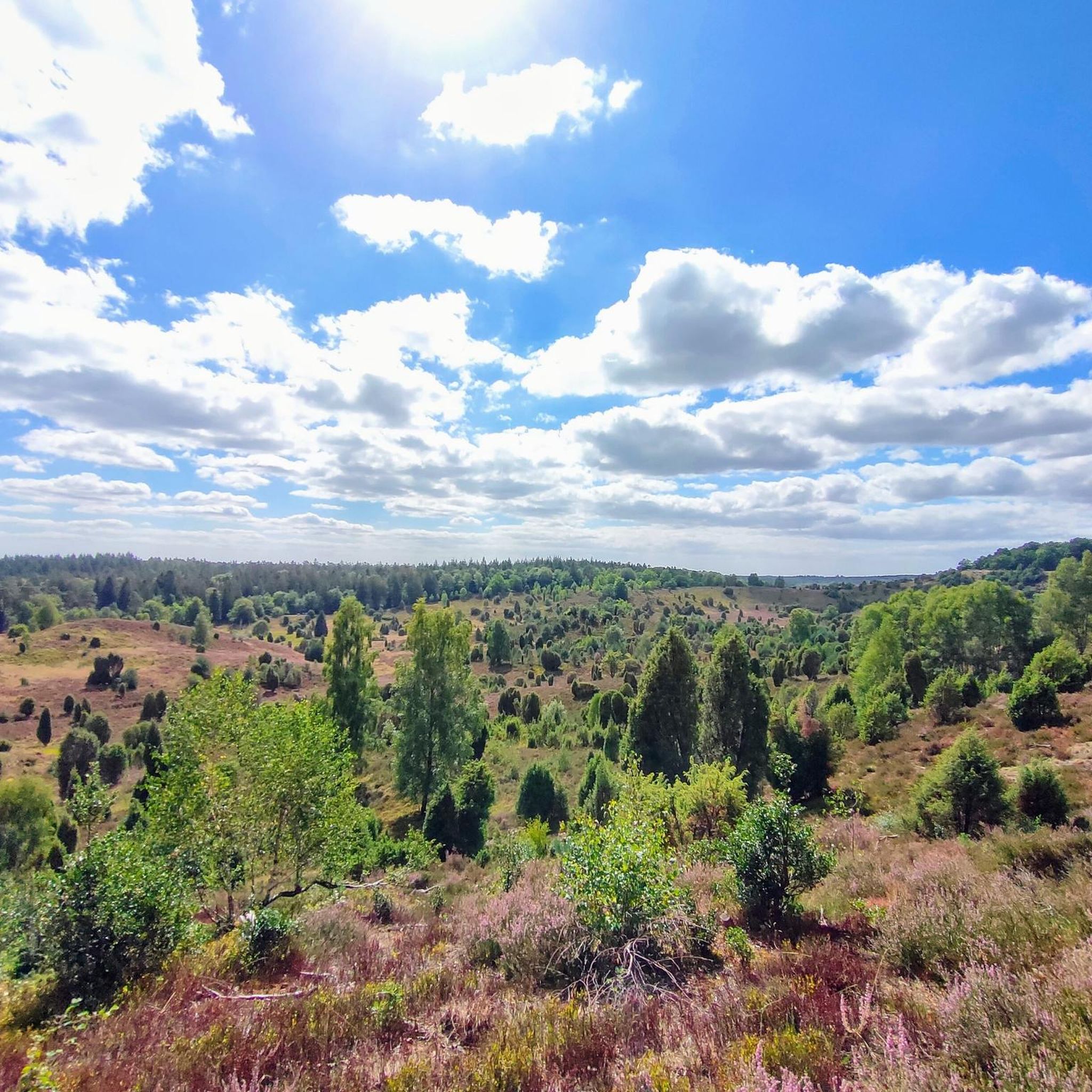
Jogging in Scharrler Forst offers a network of trails through varied natural landscapes. The region is characterized by extensive forest areas, interspersed with open heathland and tranquil moorland paths. Elevation changes are generally gentle, with routes featuring low to moderate ascents, making it suitable for a range of running abilities. These natural features provide a diverse environment for outdoor activity.
Best jogging routes in Scharrler Forst
- The most popular jogging route is Röders Heath loop from Deimern, a 4.6…
Last updated: June 28, 2026
4
runners
7.40km
00:47
40m
30m
Moderate run. Good fitness required. Mostly paved surfaces. Suitable for all skill levels.
5
runners
Hard run. Very good fitness required. Mostly paved surfaces. Suitable for all skill levels.

Sign up for free
5.0
(1)
4
runners
12.1km
01:17
70m
70m
Moderate run. Good fitness required. Mostly paved surfaces. Suitable for all skill levels.
8
runners
8.82km
00:56
40m
40m
Moderate run. Good fitness required. Mostly paved surfaces. Suitable for all skill levels.
2
runners
4.63km
00:29
10m
10m
Easy run. Great for any fitness level. Mostly paved surfaces. Suitable for all skill levels.
Get access to more routes and recommendations from other explorers.
Sign up for free
Already have an account?
Our route recommendations are based on thousands of hikes, rides, and runs completed by other people on komoot.
Start today with a free account
Your next adventure awaits.
Login or Signup
Tips from the Community


Here you have the opportunity to swim and splash in the beautiful bay. At the jetty you can rent pedal boats, which are operated by the restaurant Seeterrasse. The use of inflatable boats is also permitted. Admission is free, but there is no lifeguard. Toilets are available at the restaurant Seeterrasse. For fishing friends, there are also great offers. Fishing is made possible by the Bispingen Anglerverein (anglers' association). You can purchase fishing permits at the Verkehrsverein Behringen (tourist association), at Bispingen-Touristik, and at Kiebitzmarkt Bispingen. The fishing season runs from April 15th to October 15th.
0
0

Beautiful view over the entire Brunausee lake... Just take a seat and relax.
1
0
Beautiful lake that you can walk around on a leisurely stroll... quiet paths on one side, a small beach and restaurant on the other... unfortunately, the nearby motorway is sometimes quite loud.
1
0


The mouth of the Brunau is at the Opalsee and not at the Brunausee! The flow direction goes away from the Brunausee!
1
1
Frequently Asked Questions
What kind of terrain can I expect on jogging routes in Scharrler Forst?
Jogging in Scharrler Forst primarily takes you through extensive forest areas, interspersed with open heathland and tranquil moorland paths. The elevation changes are generally gentle, making it suitable for a range of running abilities.
Are there running routes suitable for beginners in Scharrler Forst?
Yes, Scharrler Forst offers a good selection of easier routes. There are 35 easy jogging routes available, perfect for those new to running or looking for a more relaxed pace. An example is the Pond at Rosenhof – Dirt Road to Rosenhof loop from Rosenhof, which is just 4.6 km long.
How many jogging routes are available in Scharrler Forst?
Scharrler Forst boasts a comprehensive network of over 270 jogging routes, offering a wide variety of options for different preferences and fitness levels.
What do other runners enjoy most about jogging in Scharrler Forst?
The running routes in Scharrler Forst are highly rated by the komoot community, with an average score of 4.5 stars from over 240 reviews. Runners often praise the varied terrain, from quiet woodlands to open heathland, and the well-maintained paths that make for an enjoyable experience.
Are there any circular running routes in Scharrler Forst?
Yes, many of the jogging routes in Scharrler Forst are circular, allowing you to start and finish at the same point. For example, the Brunau Lake – Brunau Lake loop from Behringen is a moderate 8.8 km circular route.
What are some longer, more challenging running trails in the area?
For those seeking a greater challenge, Scharrler Forst offers several difficult routes. The Uhlenstieg Moor Nature Trail – Spitzbubenweg Forest Trail loop from Behringen is a difficult 19.6 km path that traverses diverse moorland and forest terrain.
Are there any natural features or landmarks to see along the jogging routes?
Yes, several routes pass by interesting natural features. You can explore areas like Röders Heath or discover Pristine heathland near Deimern, offering scenic views and a chance to experience the region's unique landscape.
What is the typical length and duration of a moderate running route in Scharrler Forst?
Moderate running routes vary in length, but a good example is the Running loop from An der Horst, which is 12.1 km long and typically takes about 1 hour 15 minutes to complete.
Are there any specific parking areas for accessing the running trails?
While specific parking details vary by route, a known access point is the Röders Heide Klara-Rohrs Allee Trailhead, which includes parking facilities, making it convenient to start your run.
Can I find routes that combine forest and open heathland views?
Absolutely. Many routes in Scharrler Forst offer a mix of environments. For instance, the Röders Heath loop from Deimern provides open views across heathland while also traversing wooded sections.
Most popular routes in Scharrler Forst
Most popular attractions in Scharrler Forst

Get inspired with the komoot mobile app


Explore more
Browse the best Running Trails & Routes in other regions.
