The best walks and hikes in Palinger Heide
4.6
(6571)
32,658
hikers
16
hikes
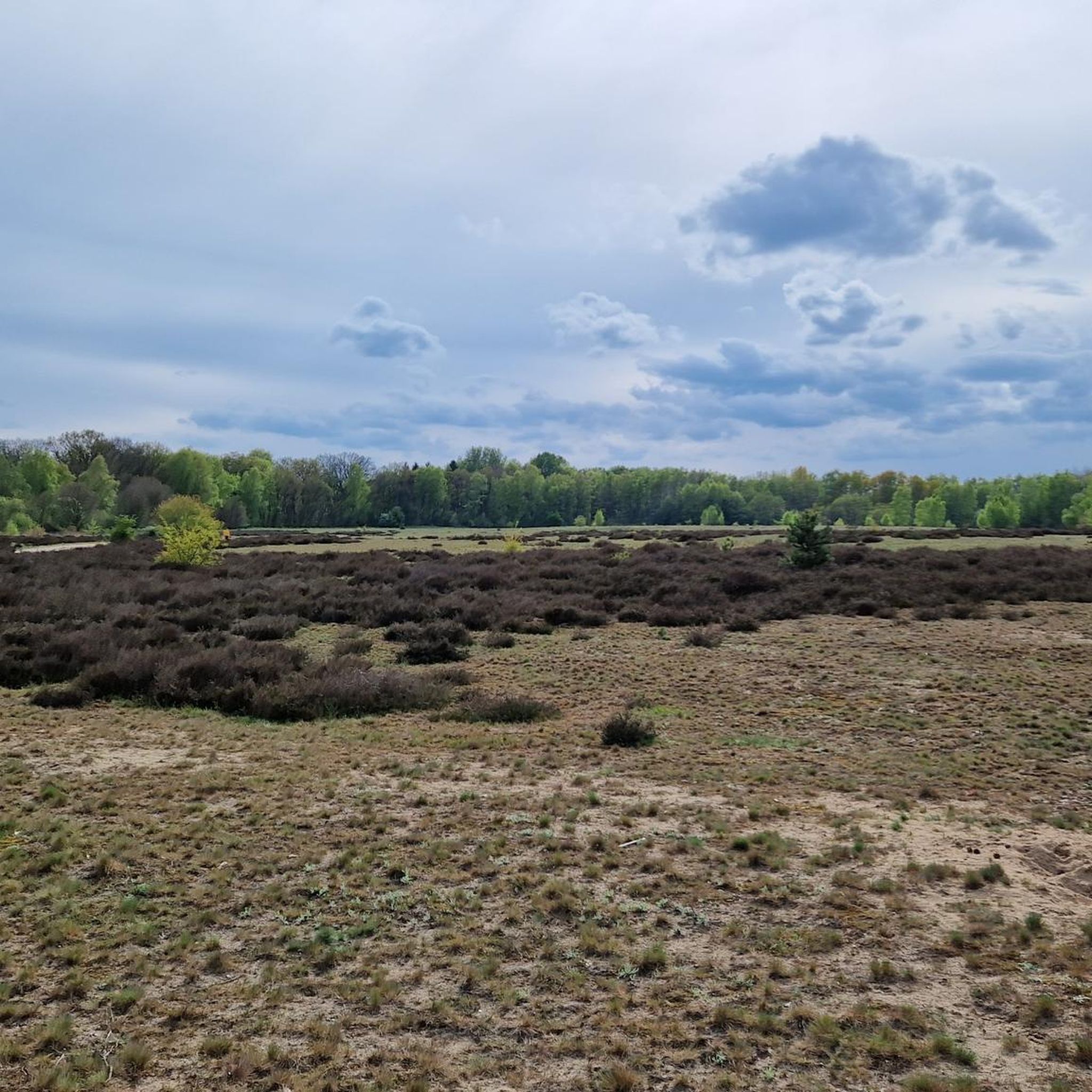
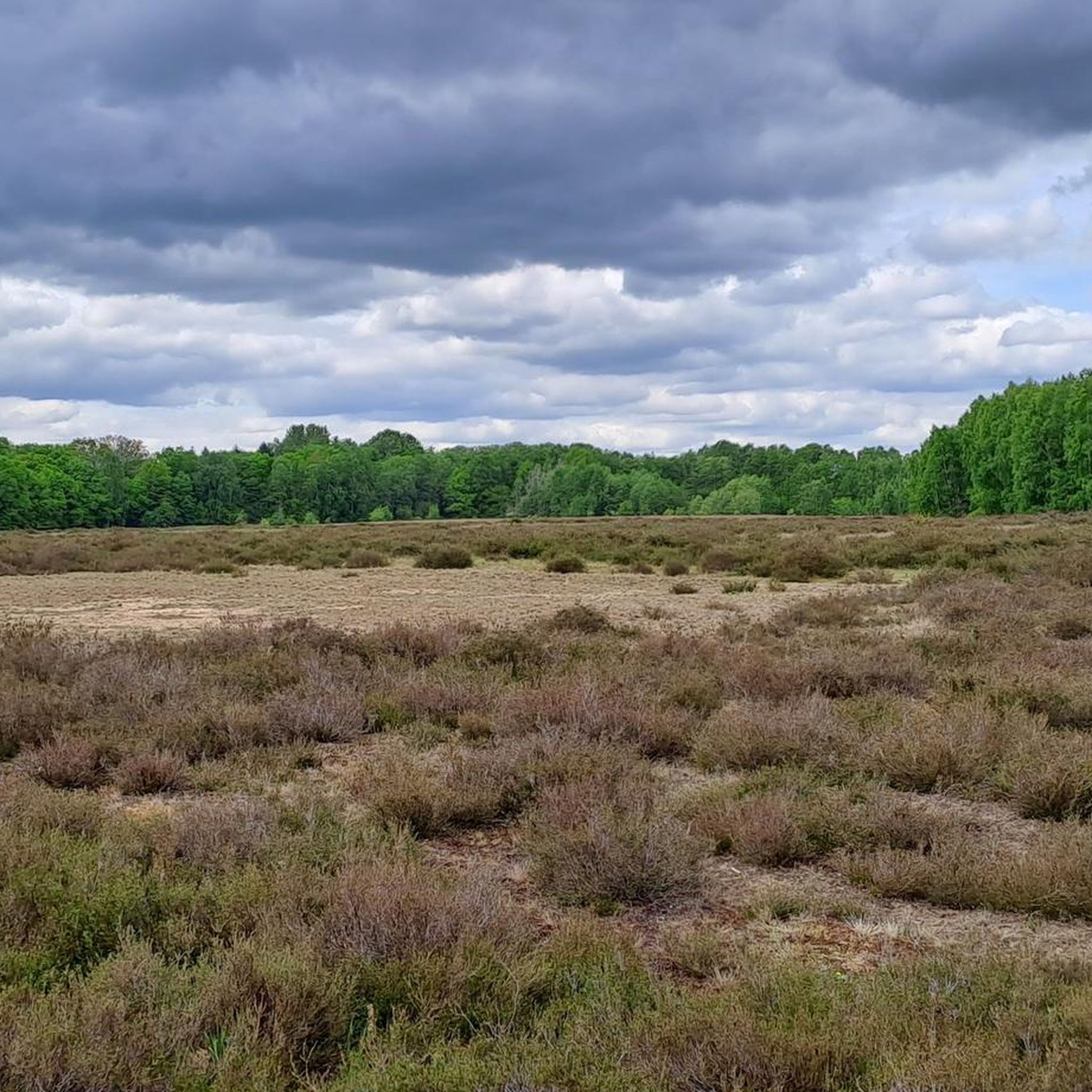
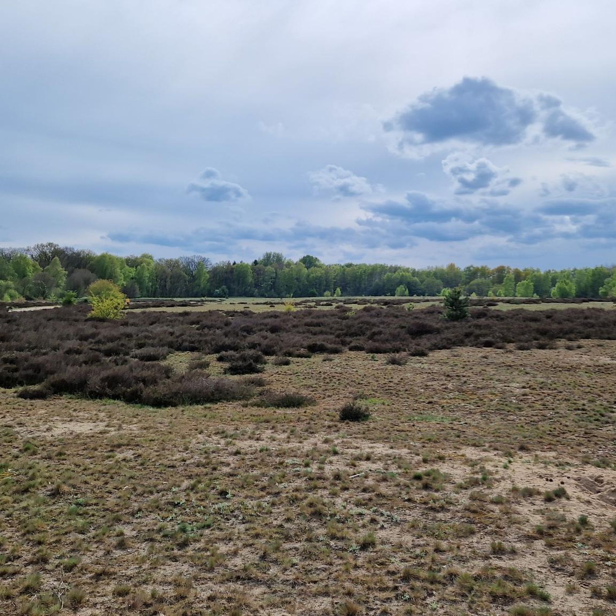
Hiking in Palinger Heide offers a network of trails through a landscape characterized by heathland, mixed forests, and low-lying terrain in Northwest Mecklenburg. The region features gentle elevations and diverse natural environments, including areas around the Landgraben and local moors. These trails provide opportunities to explore the natural beauty of the area, with routes often passing through open heath fields and wooded sections.
Best hiking trails in Palinger Heide
- The most popular hiking route is Bridge Over the Landgraben –…
Last updated: June 25, 2026
4.6
(48)
124
hikers
Easy hike. Great for any fitness level. Easily-accessible paths. Suitable for all skill levels.
4.7
(13)
37
hikers
Moderate hike. Good fitness required. Easily-accessible paths. Suitable for all skill levels.

Sign up for free
5.0
(2)
13
hikers
5.90km
01:30
20m
20m
Easy hike. Great for any fitness level. Easily-accessible paths. Suitable for all skill levels.
5.0
(5)
11
hikers
Easy hike. Great for any fitness level. Easily-accessible paths. Suitable for all skill levels.
4.9
(7)
10
hikers
3.00km
00:46
10m
10m
Easy hike. Great for any fitness level. Easily-accessible paths. Suitable for all skill levels.
Get access to more routes and recommendations from other explorers.
Sign up for free
Already have an account?
Our route recommendations are based on thousands of hikes, rides, and runs completed by other people on komoot.
Start today with a free account
Your next adventure awaits.
Login or Signup
Tips from the Community

A jogger was murdered here in 2013: https://www.welt.de/vermischtes/weltgeschehen/article117933407/Luebecker-Joggerin-Dreifacher-Familienvater-46-unter-Mordverdacht.html This memorial stone commemorates her.
1
0
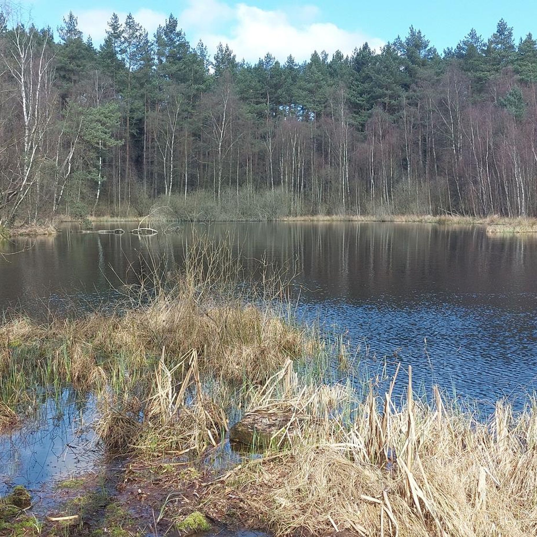
The lake is very difficult to access, even though it's only a few meters from the patrol road... therefore, it's very peaceful here.
1
0
Just a few meters from the patrol road lies this beautiful forest lake...
1
0
Here the path runs along the former inner-German border... even today you can hike along it on the Green Belt... although very beautiful nature awaits on both sides, hiking on these bumpy concrete slabs is very arduous.
1
0
Here the path runs along the former inner-German border... even today you can hike along it on the Green Belt... although very beautiful nature awaits on both sides, hiking on these bumpy concrete slabs is very arduous.
1
0
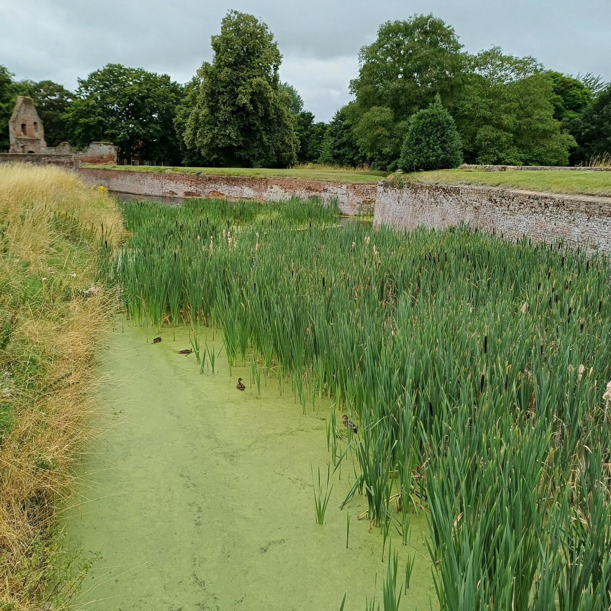
Due to a lack of water, the bridge is usually not needed.
1
0
Historical defensive walls of the Landwehr for the defense of Lübeck
2
0

On well-developed bike paths, you can cycle through landscapes of forests, heathlands, and small, hidden forest lakes. The fresh air and proximity to Lübeck make it a lovely destination for a day trip.
0
0
Frequently Asked Questions
What is the general difficulty level of hiking trails in Palinger Heide?
Palinger Heide offers a range of trails suitable for various abilities. The majority of routes are classified as easy, with 12 out of 15 total tours falling into this category. There is also 1 moderate and 2 difficult routes for those seeking more challenge. The landscape is characterized by gentle elevations.
Are there family-friendly hiking options in Palinger Heide?
Yes, Palinger Heide is well-suited for families, particularly because most trails are easy and feature low elevation changes. Many routes explore open heath fields and mixed forests, providing an enjoyable experience for all ages. Consider the Palinger Heath – Siegfried Appotin Memorial loop from Gewässersperrzone, which is an easy 2.4-mile (3.8 km) path.
Can I bring my dog on the hiking trails in Palinger Heide?
Yes, Palinger Heide is generally dog-friendly. The trails through heathland and mixed forests offer pleasant walks for you and your canine companion. Always ensure your dog is kept on a leash, especially in areas with wildlife or near sensitive natural habitats, and remember to clean up after them.
What is the typical length of hiking trails in Palinger Heide?
Hiking trails in Palinger Heide vary in length, but many are designed for shorter excursions. For example, the Bridge Over the Landgraben – Heather Field on Kolonnenweg loop from Gewässersperrzone is 3.6 miles (5.8 km), and the Siegfried Appotin Memorial – Palinger Heath loop from Palingen is 3.7 miles (5.9 km). There are also longer options, such as the 5.3-mile (8.5 km) Schwedenschanzen in Lauerholz – Wesloer Moor Lake loop from Gewässersperrzone.
Are there circular hiking routes available in Palinger Heide?
Yes, many of the trails in Palinger Heide are designed as circular routes, allowing you to start and end at the same point without retracing your steps. This is ideal for exploring the diverse landscapes of heathland and forests. An example is the Palingen heath landscape – Former GDR Boiler House loop from Schlutup, an easy 3.3-mile (5.4 km) loop.
What kind of natural features or landmarks can I expect to see along the trails?
Palinger Heide's trails lead through a landscape of heathland, mixed forests, and low-lying terrain, including areas around the Landgraben and local moors. You can also encounter historical points of interest such as the Siegfried Appotin Memorial or sections of the Kolonnenweg of the Former Inner German Border, which offers a glimpse into the region's past.
What is the best time of year to hike in Palinger Heide?
Palinger Heide offers unique experiences throughout the year. Late summer (August/September) is particularly beautiful when the heather is in bloom, transforming the landscape into vibrant purple hues. Spring brings fresh greenery, while autumn offers colorful foliage. Even in winter, the quiet, frosty landscapes can be appealing for a peaceful walk, though some paths might be muddy or icy.
Are there any viewpoints or scenic spots in Palinger Heide?
While Palinger Heide is characterized by gentle elevations rather than dramatic peaks, the open heathland sections and clearings within the mixed forests offer expansive views of the natural landscape. The Kolonnenweg in the Palinger Heide and Teschow Peninsula provides opportunities for scenic vistas across the heath.
What should I wear for hiking in Palinger Heide?
Given the varied terrain and potential for changing weather, it's advisable to wear comfortable, layered clothing suitable for outdoor activity. Sturdy, waterproof hiking shoes are recommended, especially after rain or during wetter seasons, as some paths can be muddy. A waterproof jacket is also a good idea, regardless of the forecast.
What do other hikers enjoy most about hiking in Palinger Heide?
The area is highly rated by the komoot community, with an average score of 4.6 stars from over 2,200 reviews. Hikers often praise the peaceful atmosphere, the well-maintained paths, and the diverse scenery that combines open heathland with shaded forest sections. The accessibility of the trails for various fitness levels is also frequently highlighted.
Is there parking available near the hiking trails in Palinger Heide?
Yes, there are typically designated parking areas at common starting points for trails in and around Palinger Heide. Many routes, such as those starting from 'Gewässersperrzone' or 'Palingen', have convenient access for vehicles. It's always a good idea to check the specific tour details on komoot for recommended parking locations.
Most popular routes in Palinger Heide
Most popular attractions in Palinger Heide

Get inspired with the komoot mobile app


Explore more
Browse the best Hikes in other regions.
