The best MTB trails around Gleiritsch
4.6
(650)
1,526
riders
181
rides
Mountain bike trails around Gleiritsch traverse a landscape characterized by rolling hills, extensive forests, and meandering rivers. The region's natural features provide varied terrain, including scenic forest paths and routes alongside waterways like the Naab River and Pfreimd river. Mountain bikers can expect a mix of natural and cultural landscapes, with options ranging from gentle riverside paths to more challenging climbs through wooded areas.
Best mountain bike trails around Gleiritsch
- The most popular mountain bike trail is Trausnitz Castle in…
Last updated: October 5, 2026
4.5
(6)
21
riders
39.6km
03:11
640m
640m
Hard mountain bike ride. Good fitness required. Advanced riding skills necessary. Some portions of the route may require you to push your bike.
5.0
(2)
4
riders
Moderate mountain bike ride. Good fitness required. Advanced riding skills necessary.

4
riders
Moderate mountain bike ride. Good fitness required. Suitable for all skill levels.
5.0
(3)
4
riders
68.2km
04:37
680m
680m
Moderate mountain bike ride. Good fitness required. Advanced riding skills necessary.
5.0
(1)
4
riders
22.9km
01:44
440m
440m
Moderate mountain bike ride. Good fitness required. Advanced riding skills necessary.
Get access to more routes and recommendations from other explorers.
Already have an account?
Our route recommendations are based on thousands of hikes, rides, and runs completed by other people on komoot.
Start today with a free account
Your next adventure awaits.

Tips from the Community

Wood carvings such as a hare, a flower, a bird of prey by the wayside.
0
0

Fantastic, and very quiet
1
0

Cyclist station - good as shelter in rainy weather
0
0

Very nice trail in the cool forest
1
0

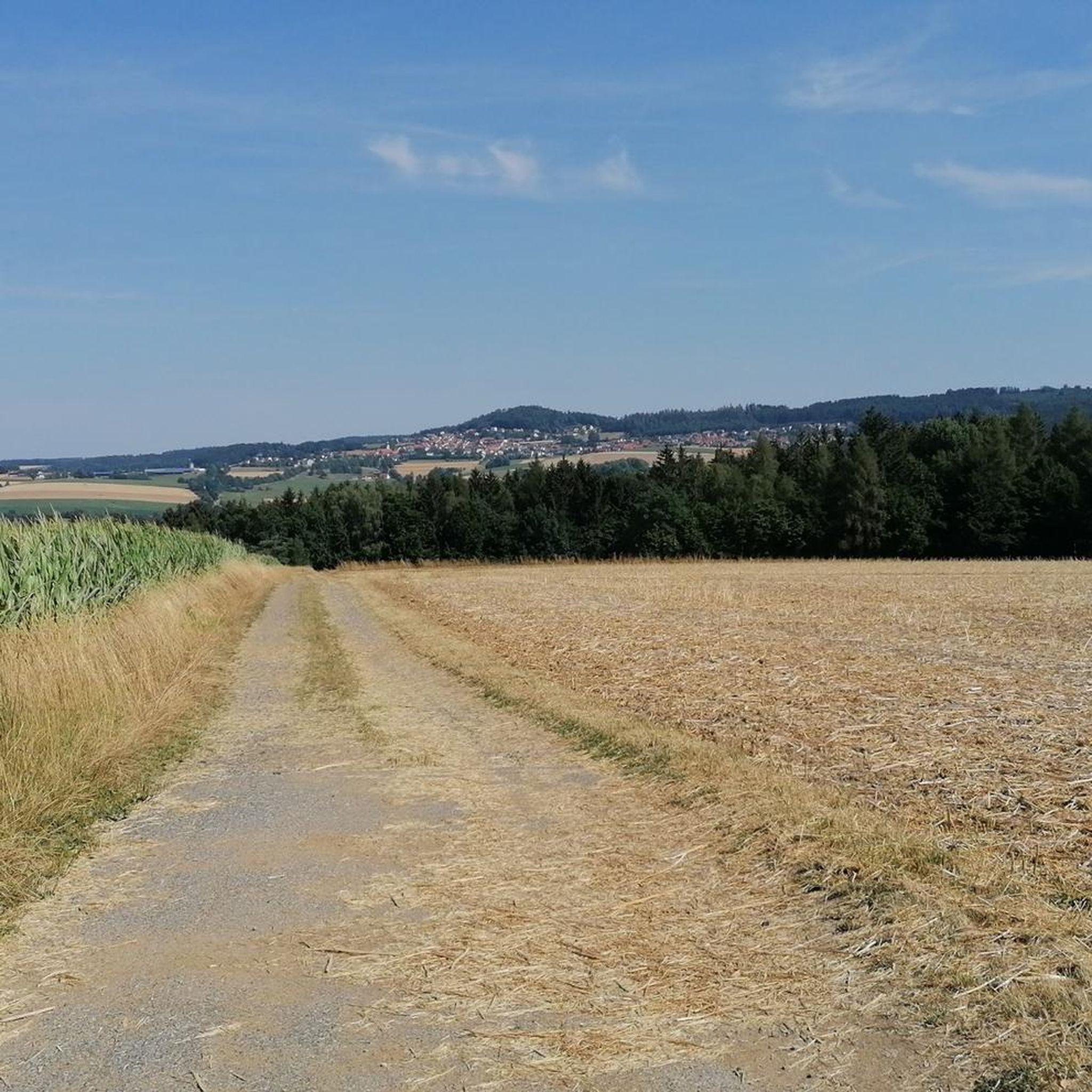
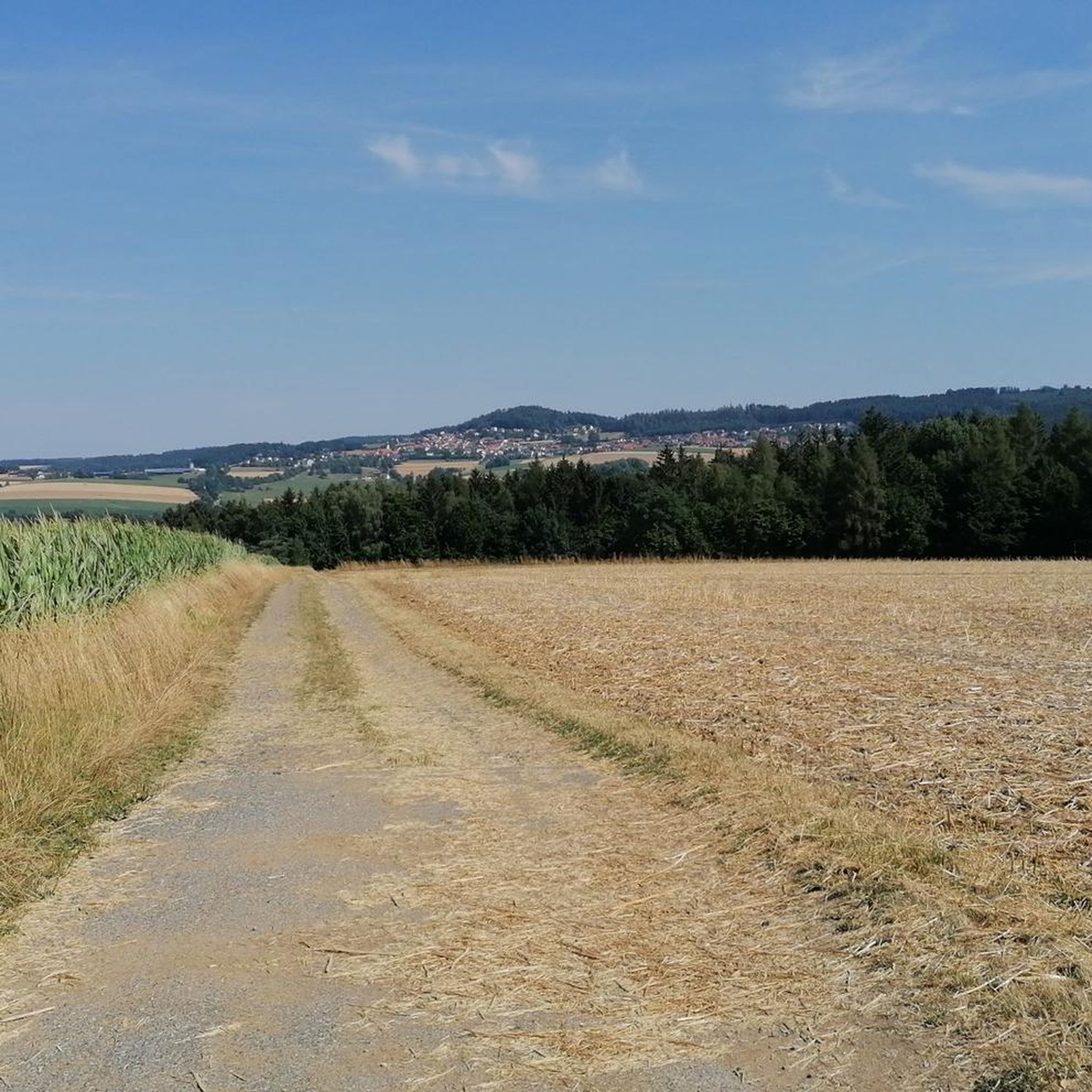
wonderful view in an idyllic landscape
0
0

Funny, these funny characters
2
1
Beautiful Naabauen with marshy meadows
1
0

This circular trail - east of Tännesberg on the southern slope of the "Großbühl" on the Goldsteig - provides an insight into the varied geological history of eastern Bavaria: starting with the early earth, it leads from the past to the present with the help of information boards. In order to make the different lengths of time of the individual geological sections tangible, the route between the periods was marked out according to their duration (except for the Precambrian). The route through the Cambrian, which lasted 60 million years, therefore takes much longer than the route through the Silurian, which lasted "only" 30 million years. In niches on both sides of the trail, various East Bavarian rocks can also be examined more closely. For better orientation, at the start of the trail there is an overview map with the route and the surrounding network of hiking trails, a geological map and a board on the geological history of eastern Bavaria.
0
0
Frequently Asked Questions
How many mountain bike trails are available around Gleiritsch?
There are over 200 mountain bike trails around Gleiritsch, catering to various skill levels. This includes 28 easy routes, 147 moderate routes, and 25 difficult trails, ensuring options for everyone from beginners to experienced riders.
What kind of terrain can I expect on mountain bike trails around Gleiritsch?
The terrain around Gleiritsch is characterized by rolling hills, dense forests, and scenic river valleys. You'll encounter a mix of natural and cultural landscapes, with paths ranging from gentle riverside trails, such as those along the Naab and Pfreimd rivers, to more challenging climbs through wooded areas. The region also features mystical rock formations and varied scenery.
What is the best time of year for mountain biking in Gleiritsch?
The best seasons for mountain biking in Gleiritsch are generally from spring to autumn. During these months, the weather is most favorable, allowing you to fully enjoy the natural beauty and varied terrain of the region.
Are there mountain bike trails suitable for beginners in Gleiritsch?
Yes, Gleiritsch offers 28 easy mountain bike routes, perfect for beginners or those looking for a more relaxed ride. These trails often feature less challenging climbs and smoother paths, allowing you to enjoy the scenic landscapes at a comfortable pace.
Are there challenging mountain bike trails for experienced riders in Gleiritsch?
Absolutely. For experienced mountain bikers seeking a challenge, Gleiritsch provides 25 difficult trails. Routes like the Trausnitz Castle in the Valley – Naabweg loop from Gleiritsch offer demanding climbs and varied landscapes to test your skills.
What historical sites or landmarks can I visit while mountain biking in Gleiritsch?
Many mountain bike routes in Gleiritsch can incorporate visits to historical attractions. You can explore the well-preserved Leuchtenberg Castle Ruins, first mentioned in 1124, or the Wildstein Castle Ruins, which offers beautiful rock formations and views. The Bavarian-Bohemian Friendship Cycle Path, a former railway line, also passes through scenic areas with historical significance.
Are there any natural attractions or scenic viewpoints along the trails?
Yes, the region boasts several natural attractions. The Pfreimdtal Riverside Trail offers a peaceful route through the Upper Palatinate Forest, recognized as a Natura 2000 FFH area. You might also encounter the Trausnitz Reservoir or the Geological Nature Trail Tännesberg, providing diverse natural beauty and scenic spots.
What do other mountain bikers enjoy about the trails in Gleiritsch?
The mountain bike trails in Gleiritsch are highly rated by the komoot community, with an average score of 4.7 stars from over 580 reviews. Riders often praise the varied terrain, the beautiful forests, and the opportunity to combine cycling with visits to historical sites and natural monuments. The network offers a good mix of easy, moderate, and difficult routes, appealing to a wide range of abilities.
Are there family-friendly mountain bike trails in Gleiritsch?
While specific 'family-friendly' designations are not always explicit, the 28 easy routes available in Gleiritsch are generally suitable for families. These trails often follow less strenuous paths, such as the former railway line of the Bavarian-Bohemian Friendship Cycle Path, which offers a comfortable cycling experience without significant climbs.
Can I bring my dog on the mountain bike trails?
Many trails in natural areas around Gleiritsch are generally dog-friendly, especially if your dog is well-behaved and kept on a leash. However, it's always recommended to check local regulations or specific trail signage for any restrictions, particularly in nature reserves or protected areas like the Natura 2000 FFH area along the Pfreimdtal Riverside Trail.
Are there any circular mountain bike routes in Gleiritsch?
Yes, many of the mountain bike routes around Gleiritsch are designed as loops, allowing you to start and end your ride in the same location. Examples include the Bader Chapel near Guteneck – Old Weir on the Schwarzach loop from Gleiritsch and the Lake Murner – Naab footbridge in Nabburg loop from Gleiritsch, providing convenient options for your tour.
Where can I find parking for mountain biking in Gleiritsch?
While specific parking locations for every trailhead are not detailed, Gleiritsch and surrounding villages typically offer public parking facilities. It's advisable to look for designated parking areas near the start points of popular routes or in the village centers, especially when planning to access trails that begin directly from these locations.
Is public transport available to access mountain bike trails in Gleiritsch?
Public transport options in rural areas like Gleiritsch can be limited. While there might be local bus services connecting to nearby towns, direct access to specific trailheads via public transport might require some planning. It's recommended to check regional bus schedules or consider driving to a suitable starting point with parking.
Most popular routes around Gleiritsch
Most popular attractions around Gleiritsch

Get inspired with the komoot mobile app


Explore more
Browse the best MTB trails in other regions.
