The best road cycling routes in Gallitzin State Forest
5.0
(1)
19
riders
5
rides
Road cycling in Gallitzin State Forest offers diverse terrain across its more than 24,000 acres, characterized by the Allegheny Front ridge and the Conemaugh River Gorge. The landscape features a mix of rugged, wooded areas and rolling hills, providing routes with both gentle sections and significant elevation changes. State forest roads are generally accessible for road cycling, allowing exploration of the region's natural features.
Best road cycling routes in Gallitzin State Forest
- The most popular road cycling route is C…
Last updated: July 12, 2026
6
riders
54.9km
03:59
490m
490m
Moderate road ride. Good fitness required. Some segments of this route may be unpaved and difficult to ride.
2
riders
59.8km
03:21
1,030m
1,040m
Hard road ride. Very good fitness required. Mostly well-paved surfaces and easy to ride.

Sign up for free
2
riders
Moderate road ride. Good fitness required. Some segments of this route may be unpaved and difficult to ride.
5.0
(1)
6
riders
31.6km
01:40
180m
180m
Easy road ride. Great for any fitness level. Mostly well-paved surfaces and easy to ride.
3
riders
58.9km
03:22
940m
940m
Hard road ride. Very good fitness required. Mostly well-paved surfaces and easy to ride.
Our route recommendations are based on thousands of hikes, rides, and runs completed by other people on komoot.
Start today with a free account
Your next adventure awaits.
Login or Signup
Popular around Gallitzin State Forest

Tips from the Community

This 3.5-mile path, once an abandoned roadway, has been transformed into a community trail. Along the way, you'll find inviting benches for rest and interpretive signs that offer insights into the local environment.
0
0
This urban trail follows the Conemaugh River, providing you with great views of the water and surrounding landscape. As you venture along the trail, you'll encounter informative signage detailing the area's rich history and the development of the river walls. The trail is an ideal spot for walking, jogging, or cycling.
0
0
The Ghost Town Trail is a popular recreational path in Pennsylvania, transformed from an abandoned railroad into a scenic trail for walkers, runners, bikers, and nature enthusiasts. It stretches through the picturesque landscapes of Indiana County, offering stunning views of rolling hills, farmlands, and wooded areas.
0
0
The C & I Trail is a 17-mile extension of the Ghost Town Trail, offering additional opportunities for exploration. This off-road adventure takes you through scenic landscapes, providing a chance to connect with nature and experience the tranquility of the Pennsylvania countryside.
0
0
This tunnel offers a unique opportunity to step back in time and explore a piece of American engineering history. As the first railroad tunnel built in the United States, the tunnel itself is a marvel, showcasing the craftsmanship of early 19th-century laborers.
0
0
Leading up to the tunnel, this trail winds through a serene forest, inviting visitors to enjoy leisurely walks or invigorating bike rides. The area boasts a rich history, and interpretive signs along the trail provide insights into the region's past.
0
0
This trail follows the path of the devastating 1889 Johnstown Flood, allowing visitors to trace the destructive course of the floodwaters. It connects to points of interest, such as the Staple Bend Tunnel, a historic railroad tunnel, and the Johnstown Flood Museum.
0
0
The park features memorials dedicated to various branches of the military, allowing visitors to pay respects to those who made the ultimate sacrifice. The park's serene atmosphere provides a peaceful environment, surrounded by lush woodlands and boasting a rocky shoreline long the reservoir to explore.
0
0
Frequently Asked Questions
How many road cycling routes are available in Gallitzin State Forest?
Gallitzin State Forest offers a diverse selection of road cycling routes. Our guide features 5 distinct routes, ranging from easy to difficult, providing options for various skill levels.
What is the typical terrain like for road cycling in Gallitzin State Forest?
The terrain in Gallitzin State Forest is quite varied, catering to different cycling abilities. You'll find everything from gently rolling sections to routes with significant elevation changes, especially along the Allegheny Front ridge. State forest roads are generally open and suitable for both traditional bicycles and e-bikes.
Are there routes suitable for beginners or families?
Yes, there are routes suitable for easier rides. For instance, the Eliza Furnace – Ghost Town Trail loop from Dilltown is an easy 31.6 km path with minimal elevation change, making it ideal for a relaxed ride or families looking for a less strenuous option.
Where can I find scenic viewpoints or natural attractions along the routes?
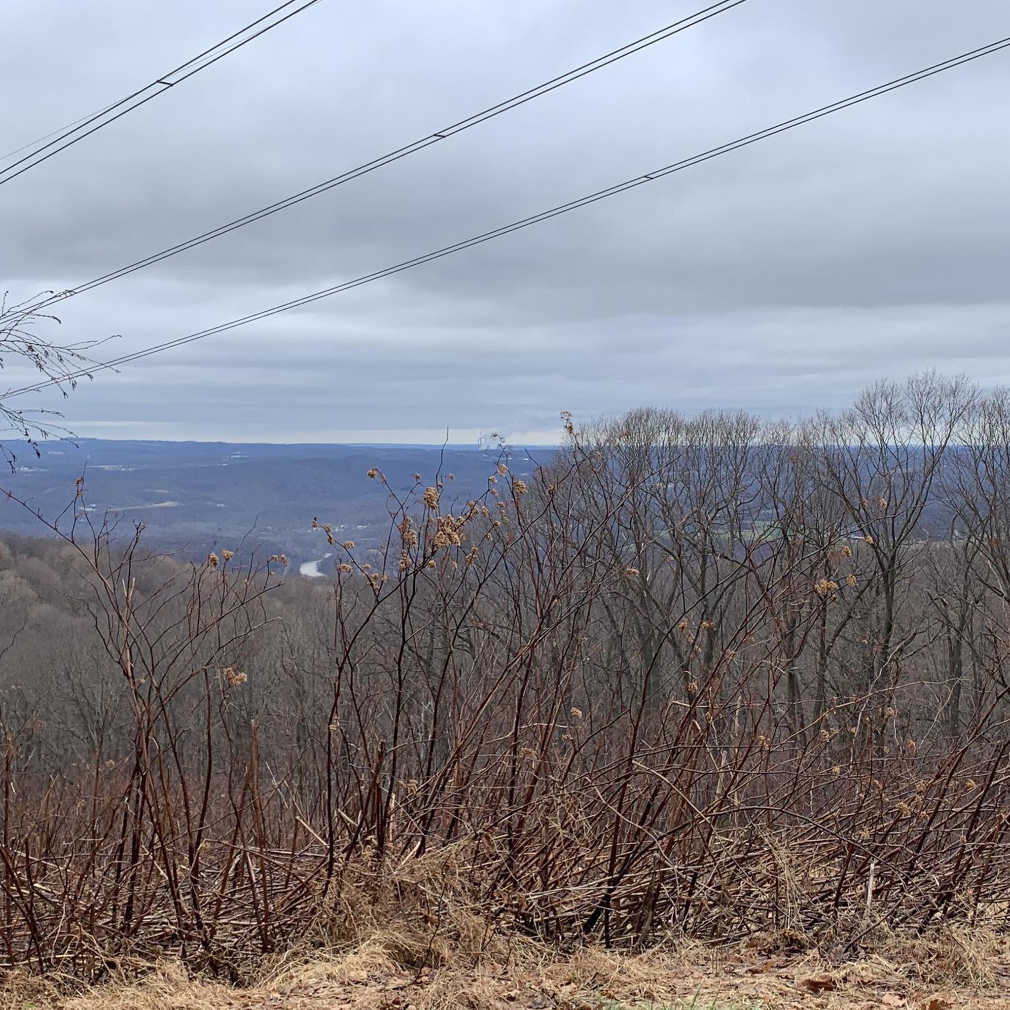
Gallitzin State Forest is rich in scenic beauty. Many routes offer spectacular views of surrounding public and private lands, including sights into Indiana County, the Conemaugh River Gap, and Blue Knob. While specific viewpoints aren't always marked on cycling routes, the rugged and wooded terrain itself provides constant natural beauty. You might also find unique geological formations like Wolf Rocks or explore areas like the Clear Shade Wild Area, known for its northern hardwood forest.
Are there any circular road cycling routes in the area?
Yes, many of the routes in Gallitzin State Forest are designed as loops, allowing you to start and end at the same point. An example is the C & I Trail – Ghost Town Trail loop from Wehrum, which is a moderate 54.9 km circular route.
What are the parking options for road cyclists in Gallitzin State Forest?
Parking is generally available at various trailheads and access points throughout the state forest. For example, the Paint Creek loop from Conemaugh Township Parking Area starts directly from a designated parking area, making access convenient. It's always advisable to check the specific starting point of your chosen route for the nearest parking facilities.
Is public transport available to access the cycling routes?
Public transport options directly into the heart of Gallitzin State Forest for accessing cycling routes are limited. Most visitors typically arrive by car. However, some routes, like the Clara Barton Memorial Bridge – Johnstown Greenway Trail loop from Johnstown, start near more populated areas like Johnstown, which may have local transport connections.
What is the best time of year to go road cycling in Gallitzin State Forest?
The best time for road cycling in Gallitzin State Forest is typically from spring through fall. During these seasons, the weather is generally mild, and the natural scenery is at its most vibrant. Spring brings lush greenery, while fall offers spectacular foliage. Always check local weather conditions before heading out, especially during shoulder seasons.
Are dogs allowed on the road cycling routes?
While state forest roads are generally accessible, specific regulations regarding dogs can vary. It's always best to check the official DCNR (Department of Conservation and Natural Resources) guidelines for Gallitzin State Forest regarding pets on trails and roads. If allowed, ensure your dog is leashed and you carry waste bags.
What makes road cycling in Gallitzin State Forest unique?
Road cycling in Gallitzin State Forest offers a unique blend of challenging terrain and historical context. You'll ride through areas that have regenerated from heavily logged land, experiencing diverse ecosystems from dense stands of cherry, maple, and beech trees to revitalized industrial areas. The presence of the Allegheny Front ridge and the Conemaugh River Gorge adds dramatic landscapes to your ride.
What do other cyclists say about road cycling in Gallitzin State Forest?
The area is highly rated by the komoot community, with an average score of 5.0 stars. Reviewers often praise the diverse terrain, from challenging climbs to more relaxed sections, and the expansive views offered throughout the forest. The mix of natural beauty and historical elements also contributes to a unique cycling experience.
Are there any advanced road cycling routes for experienced riders?
Yes, experienced riders will find challenging routes with significant elevation gains. For example, the Haws Pike loop from Johnstown Upper Station is a difficult 59.8 km route featuring over 1000 meters of elevation gain, providing a substantial workout and rewarding views.
Most popular routes in Gallitzin State Forest

Get inspired with the komoot mobile app


