The 7 Most Amazing Peaks around Aglasterhausen
Best mountain peaks around Aglasterhausen are characterized by rolling hills, dense forests, and green meadows within the Neckar-Odenwald-Kreis district of Baden-Württemberg, Germany. The area features elevated points and hiking trails that offer expansive views of the surrounding nature. Situated at an elevation of approximately 197 to 199 meters, the region provides scenic beauty typical of the Odenwald foothills. These elevated areas are valued for their natural beauty and are suitable for outdoor activities like hiking and cycling.
Best mountain peaks…
Last updated: July 1, 2026
Dilsberg Fortress
Highlight • Castle
Translated by Google •
Tip by

View of the Neckar Valley and Mittelberg Paragliding Launch Site
Highlight • Viewpoint
Translated by Google •
Tip by

Sign up now to discover places like this
Get recommendations on the best single tracks, peaks, & plenty of other exciting outdoor places.
Sign up for free
Ohrsberg Tower
Highlight • Viewpoint
Translated by Google •
Tip by

Evil Mountain
Highlight • Summit
Translated by Google •
Tip by

Bismarck Tower Odenwald
Highlight • Monument
Translated by Google •
Tip by

Sign up for free to discover even more peaks around Aglasterhausen.
Sign up for free
Already have an account?
Start today with a free account
Your next adventure awaits.
Login or Signup
Popular around Aglasterhausen
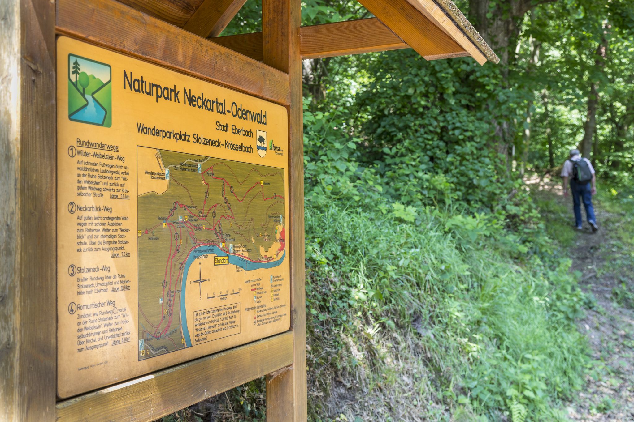
Themenwege im Naturpark Neckartal-Odenwald
BahnWandern im Naturpark Neckartal-Odenwald
Cycling around Aglasterhausen
Road Cycling Routes around Aglasterhausen
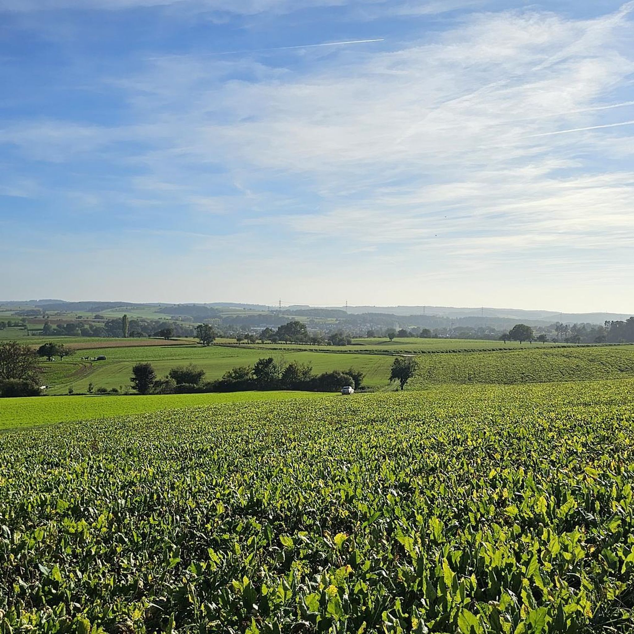
Hiking around Aglasterhausen
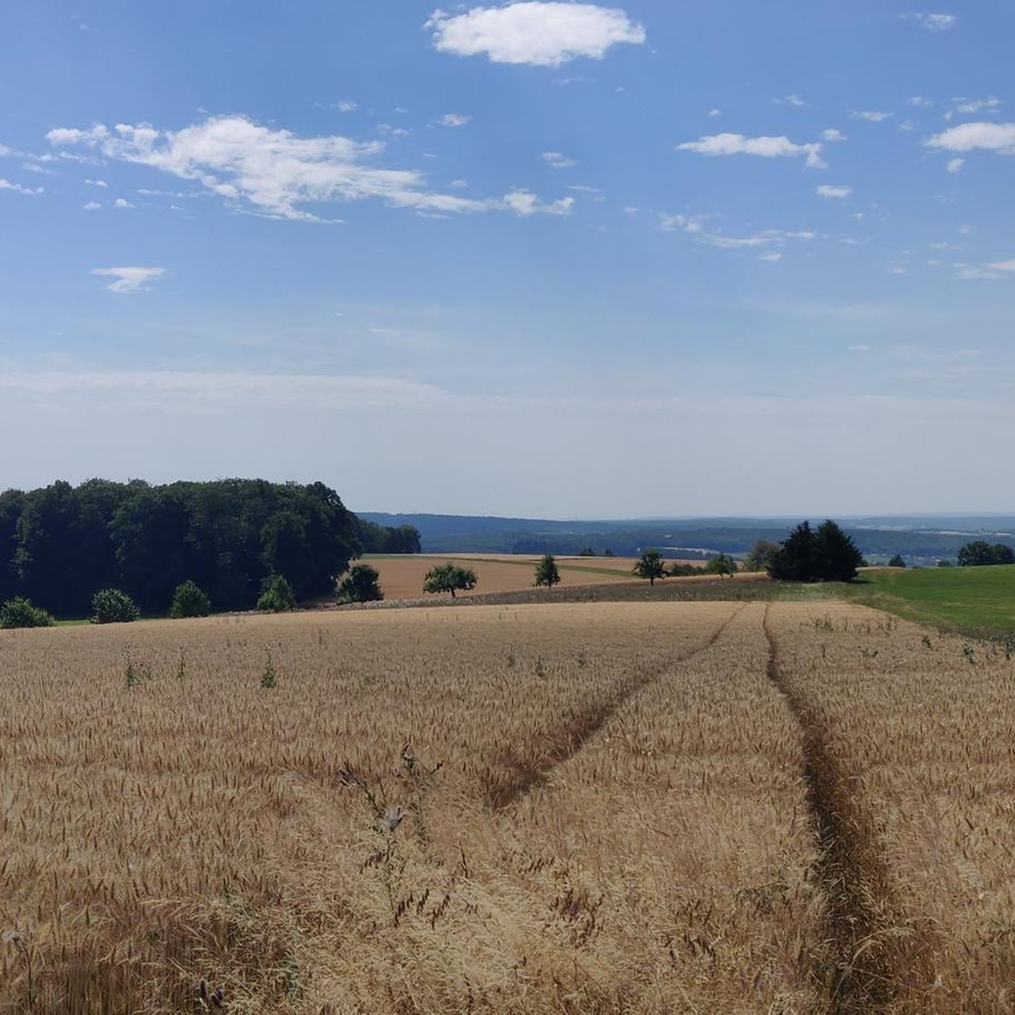
MTB Trails around Aglasterhausen
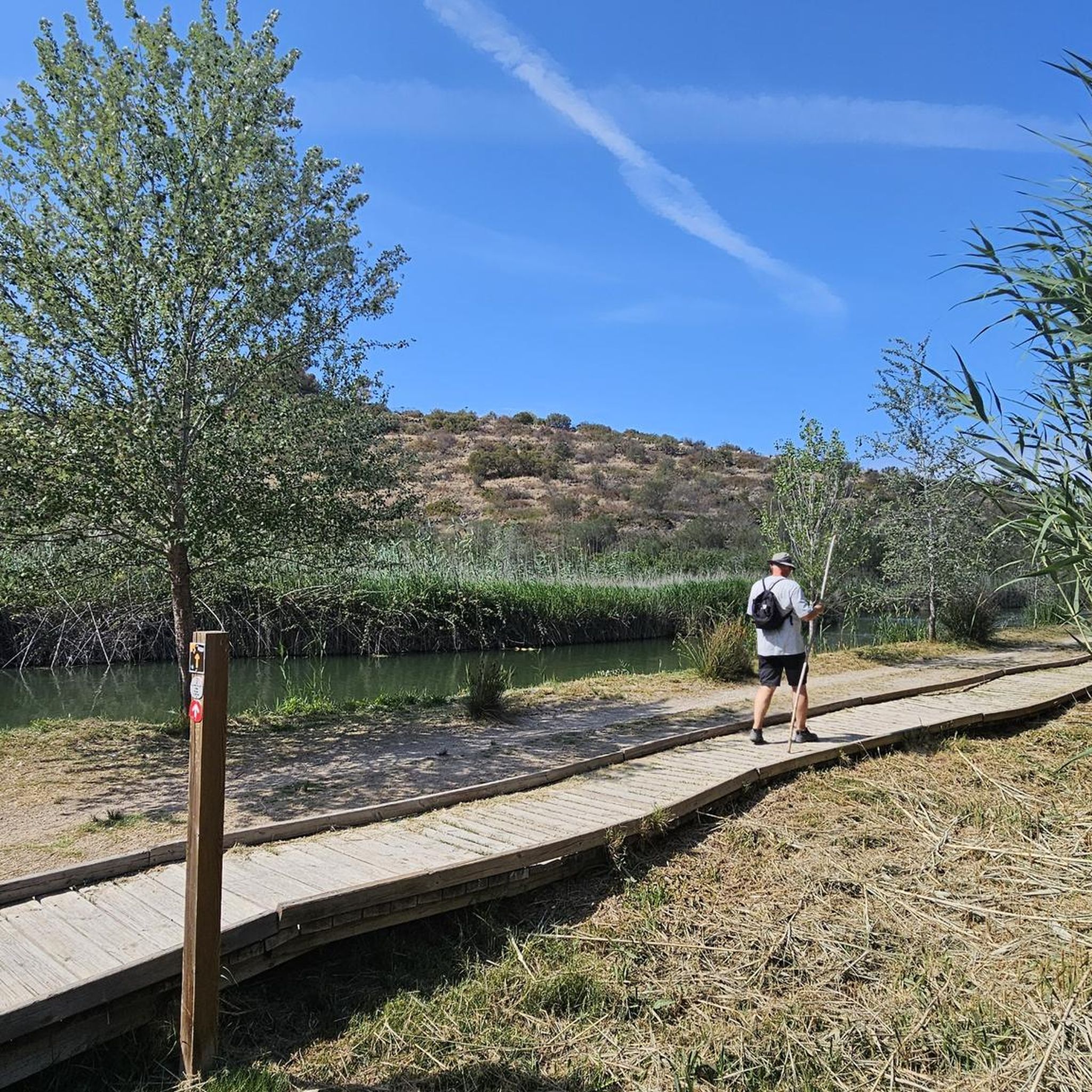
Gravel biking around Aglasterhausen
Running Trails around Aglasterhausen
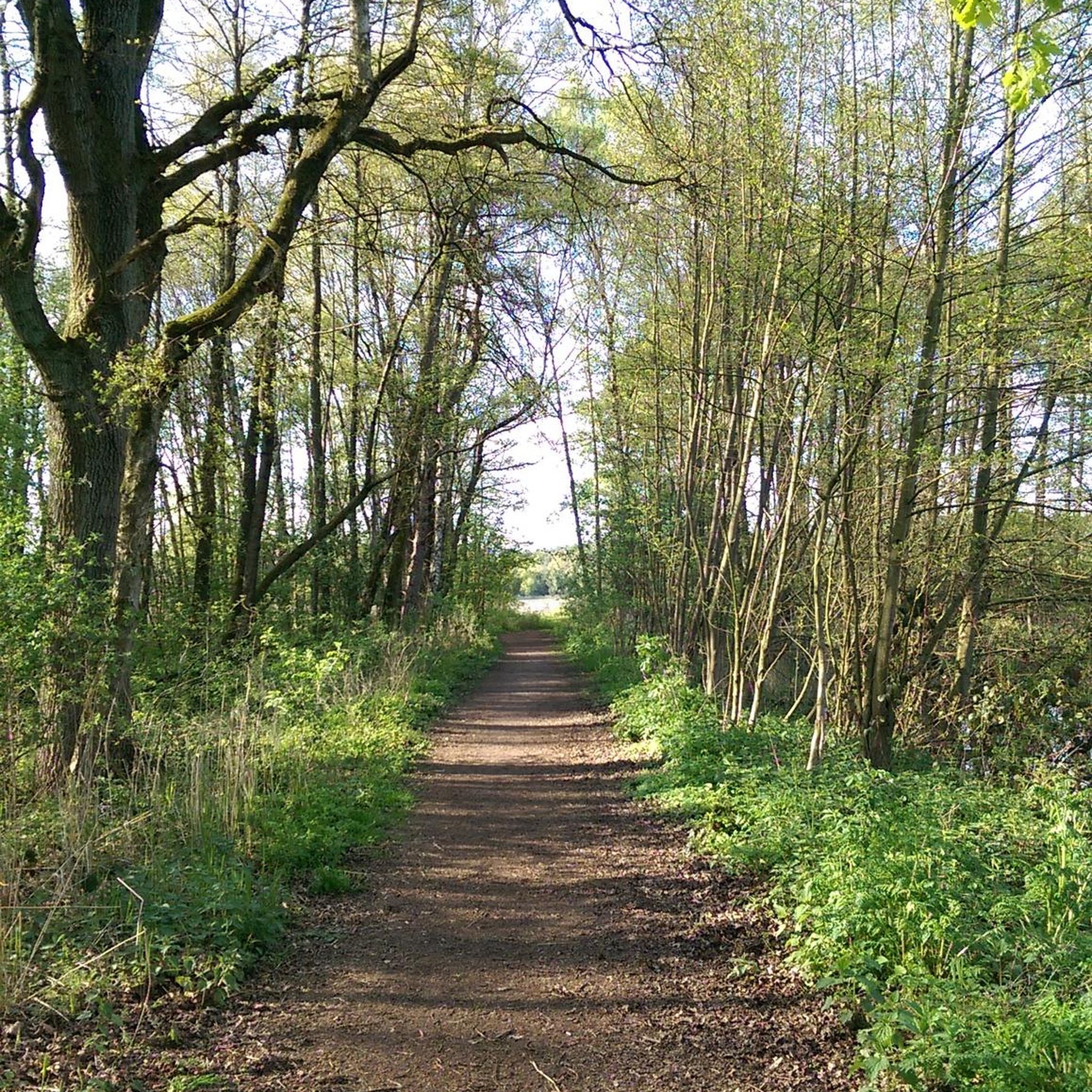
Mountain Hikes around Aglasterhausen

Tips from the Community


The Böser Berg near Eberbach impresses with its steep climbs and a wonderful view of the Neckar valley. The path leads through dense forest and repeatedly offers panoramic views that are breathtaking, especially in clear weather. Sturdy shoes and surefootedness are a must here. An ideal tour for anyone who wants to combine nature and a challenge.
7
0

Lace up your hiking boots, take a deep breath, and show Evil Mountain who the real villain is. Because at the end of the day, you'll be the one who descends victorious from the summit, while Evil Mountain appears a little less evil and a little more defeated.
9
0

great view to Eberbach and the Neckar
2
0

Originally a Celtic refuge, then the Romans arrived, and in the 12th century, a castle was built. It came into the possession of the Electorate of the Palatinate around 1300 and was then intended as a refuge for the ruler and his entourage from Heidelberg in case of emergency. The people of Dilsberger were granted town-like rights and, in return, were obliged to provide accommodations in case of emergency. With the dissolution of the Electorate of the Palatinate in 1803, the castle came into the possession of the state of Baden. In 1822, the castle was approved for demolition. Detailed information can be found here: https://www.dilsberg.de/gemeinde/geschichte-dilsberg/ The remains of the castle can be visited during the summer months for a small fee. Opening hours here: https://www.burgfeste-dilsberg.de/besuchsinformation/oeffnungszeiten
15
0

Beautiful tower, unfortunately no access
3
0

If you have the right backpack with you, things can get exciting
13
0

Unfortunately closed - although I suspect that you wouldn't really see much more from the top of the tower - the forest is probably too high by now. Possibly as a tower for the glider airfield ;-)
2
0
Frequently Asked Questions
What are the most popular elevated points and viewpoints around Aglasterhausen?
Visitors frequently enjoy Dilsberg Fortress, a historic castle offering magnificent views. Another favorite is Ohrsberg Tower, where climbing 90 steps rewards you with a beautiful panoramic view of Eberbach. The View of the Neckar Valley and Mittelberg Paragliding Launch Site is also highly rated for its fantastic views and a nicely laid out rest area.
Are there family-friendly elevated points or trails near Aglasterhausen?
Yes, several spots are suitable for families. Dilsberg Fortress is considered family-friendly, offering a rewarding climb and historical exploration. The View of the Neckar Valley and Mittelberg Paragliding Launch Site also welcomes families with its facilities and scenic views. For easier walks, explore the Easy hikes around Aglasterhausen guide.
What natural features can I expect to see around Aglasterhausen's elevated areas?
The region is characterized by picturesque landscapes of rolling hills, dense forests, and green meadows. Elevated points often provide expansive views of the surrounding nature, including the Neckar Valley. You'll find trails traversing varied terrain, including forests and areas along the Elz river, offering breathtaking views, especially during autumn when the foliage changes color.
What historical sites are located on or near these elevated points?
The most prominent historical site is Dilsberg Fortress, a castle first mentioned in 1208. It offers a glimpse into medieval history and magnificent views. The Ohrsberg Tower is also a man-made monument with historical significance, providing panoramic views of Eberbach.
What outdoor activities can I do near the elevated points around Aglasterhausen?
The area is ideal for hiking, cycling, and leisurely walks. You can find various trails, from easy strolls to more challenging routes. For specific hiking options, check out the Easy hikes around Aglasterhausen or the Mountain Hikes around Aglasterhausen guides. If you're into mountain biking, there are also MTB Trails around Aglasterhausen.
Are there challenging hikes to elevated points in the Aglasterhausen area?
Yes, for those seeking a challenge, Evil Mountain near Eberbach is known for its steep climbs and requires sturdy shoes and surefootedness. It offers a combination of nature and a physical challenge with wonderful views of the Neckar valley. You can find more challenging options in the Mountain Hikes around Aglasterhausen guide.
What is the best time of year to visit Aglasterhausen for hiking and views?
The region's elevated areas are particularly valued for their natural beauty during autumn when the foliage changes color, offering spectacular views. However, spring and summer also provide pleasant conditions for hiking and enjoying the green landscapes.
What do visitors enjoy most about the elevated points and trails in Aglasterhausen?
Visitors frequently praise the magnificent and panoramic views, especially from spots like Dilsberg Fortress and Ohrsberg Tower. The natural beauty, particularly the dense forests and rolling hills, and the opportunity for outdoor activities like hiking are also highly appreciated. Many enjoy the well-laid-out rest areas at viewpoints like the View of the Neckar Valley and Mittelberg Paragliding Launch Site.
Are there observation towers or specific viewpoints to get the best panoramas?
Absolutely. The Ohrsberg Tower offers a great panoramic view of Eberbach after climbing its 90 steps. Additionally, the View of Dilsberg Fortress from Ochsenkopf Observation Tower provides a magnificent perspective of the historic fortress and its surroundings.
What are the highest points or prominent hills near Aglasterhausen?
While Aglasterhausen is characterized by rolling hills rather than traditional high mountain peaks, the region offers elevated points that provide excellent views. The area itself is situated at an elevation of approximately 197 to 199 meters. Prominent hills and elevated areas include those leading to viewpoints like the Evil Mountain near Eberbach, which impresses with its steep climbs and views.
Can I find trails suitable for beginners near Aglasterhausen's elevated areas?
Yes, there are many trails suitable for beginners and those looking for easier walks. The region's rolling hills and meadows offer gentle paths. You can explore various options in the Easy hikes around Aglasterhausen guide, which features routes with shorter distances and manageable difficulty grades.
Most popular routes around Aglasterhausen
Most popular attractions around Aglasterhausen

Get inspired with the komoot mobile app


Explore more
See even more amazing summits around Aglasterhausen with these guides:
