The best road cycling routes around Drumore Loch
175
riders
12
rides
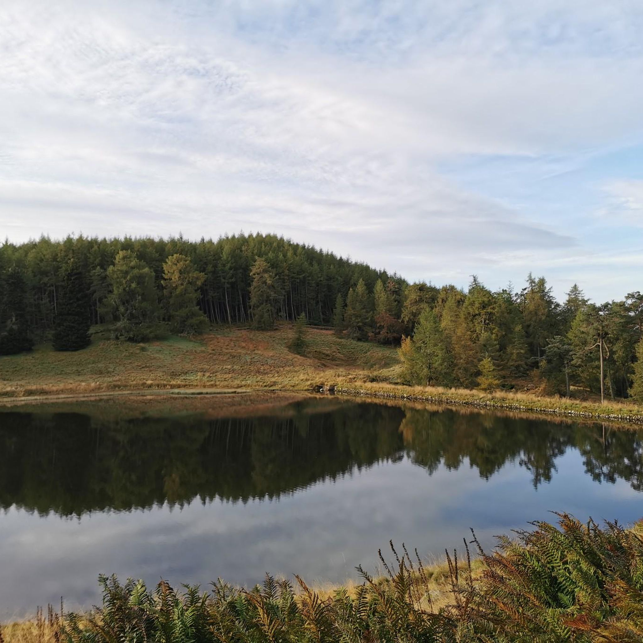
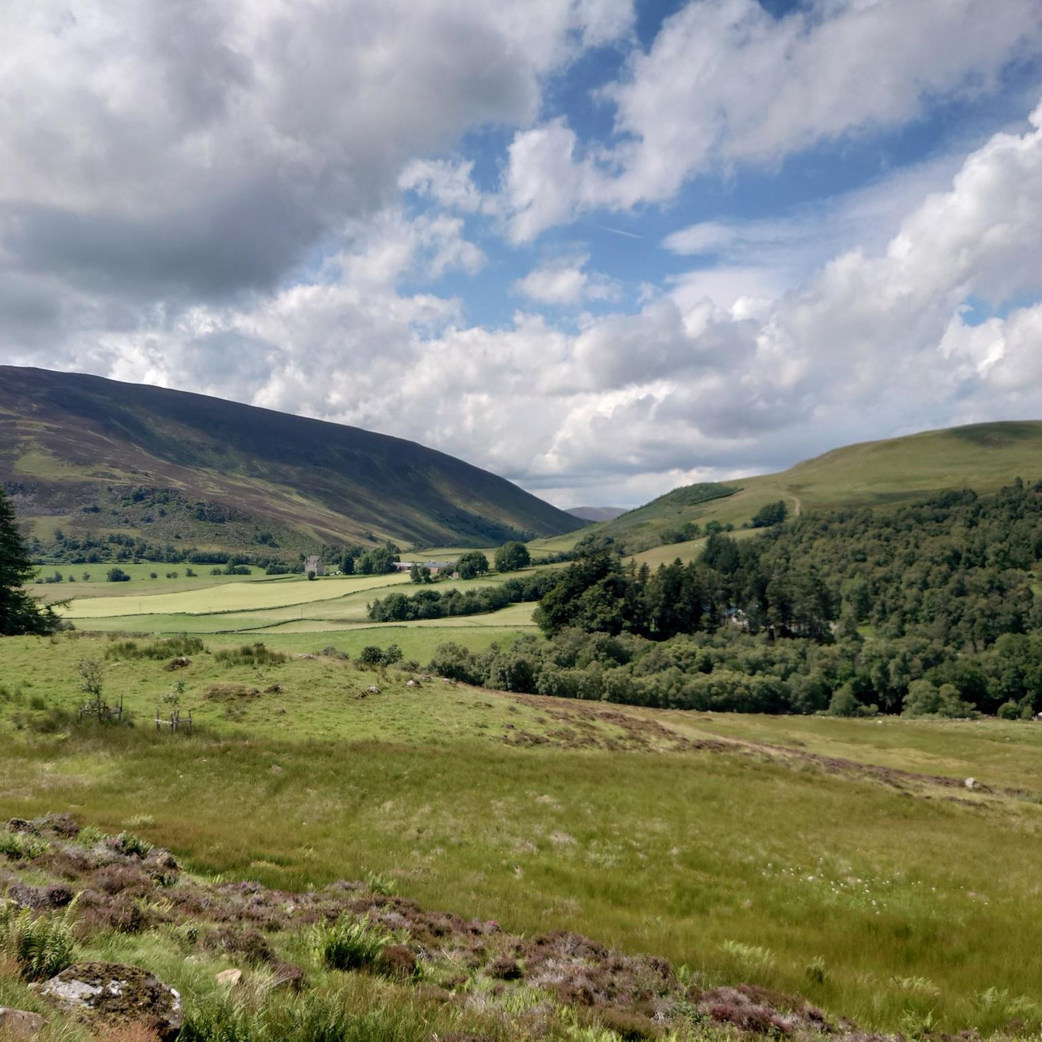
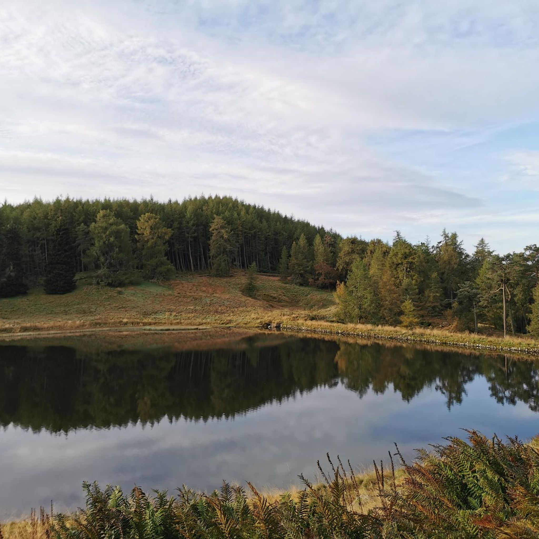
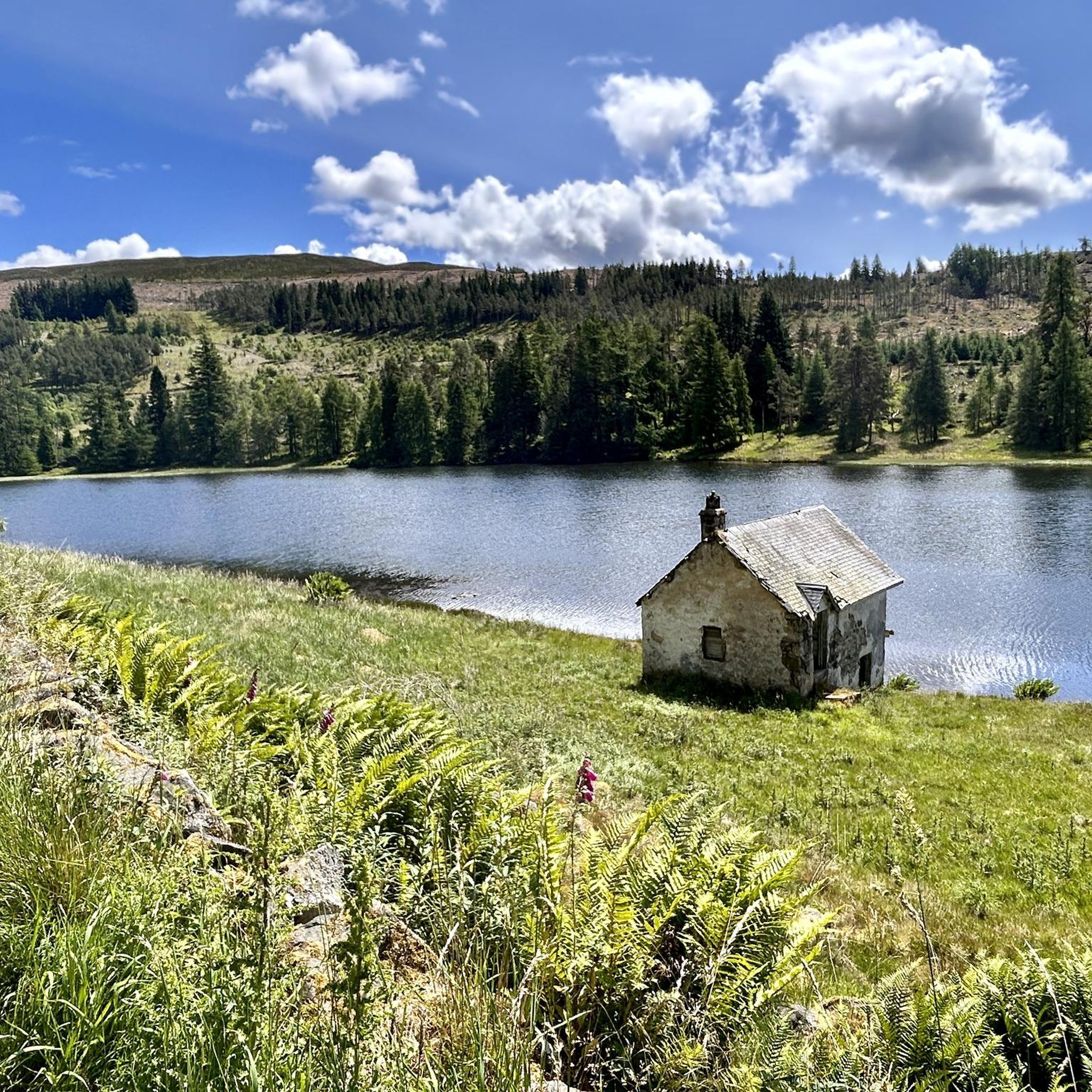
Road cycling routes around Drumore Loch, located in Perth and Kinross, Scotland, offer diverse options for cyclists. The area features scenic landscapes with varying elevations, from gentle loops around the loch to more challenging routes through glens. Cyclists can expect well-paved surfaces and views of historical landmarks such as Forter Castle and Dalnaglar Castle. The region's terrain includes rugged hills and tranquil waters, providing a varied backdrop for road cycling.
Best road cycling routes around Drumore Loch
- The most popular…
Last updated: October 11, 2026
9
riders
16.5km
01:00
240m
240m
Easy road ride. Great for any fitness level. Mostly well-paved surfaces and easy to ride.
13
riders
97.6km
04:43
1,190m
1,190m
Hard road ride. Very good fitness required. Some segments of this route may be unpaved and difficult to ride.

14
riders
27.8km
01:27
310m
310m
Moderate road ride. Good fitness required. Mostly well-paved surfaces and easy to ride.
11
riders
40.4km
02:04
480m
480m
Moderate road ride. Good fitness required. Mostly well-paved surfaces and easy to ride.
21
riders
48.9km
02:19
600m
600m
Moderate road ride. Good fitness required. Some segments of this route may be unpaved and difficult to ride.
Get access to more routes and recommendations from other explorers.
Already have an account?
Our route recommendations are based on thousands of hikes, rides, and runs completed by other people on komoot.
Start today with a free account
Your next adventure awaits.
Tips from the Community


A steady 8-10% climb from the south - amazing views.
0
0

Very delicious food, friendly service - my full recommendation! For those who the name "the bothy" doesn't mean anything: A Scotsman explained to me that a "bothy" is a hut (usually) in the mountains that has everything a wet, tired, hungry hiker needs for making fire, cooking, and sleeping. After use, the hut is returned to a clean state by the hiker, everything that can be replenished is replenished, and the rest is done by volunteers who have dedicated themselves to this task. Great thing!
0
0

During our cycling trip through the Cairngorms, we slept in a bothy every night, but we didn't find it anywhere else as comfortable as this one ;-) Delicious coffee and food. Plenty of room for everyone, and with an outdoor shop next door, it's also the perfect place to stock up on rations.
3
0

Kirkton of Glenisla, an ancient farming community with Bronze Age and Pictish remains, has a deep ecclesiastical heritage reflected in its name, meaning "church town." From the 14th to 16th centuries, it was part of the lands of Coupar Angus Abbey, which influenced the area's farming development. After the Reformation, the lands were feued to the Ogilvy family, later Earls of Airlie, with Forter Castle remaining as a historical landmark. In the 19th century, the area became a romantic destination, attracting Queen Victoria and Prince Albert. Glenisla also saw the construction of Brackny Bridge in 1824, designed by John Justice, marking a significant moment in the area's architectural history.
0
0
Forter Castle, built in 1560 by the Ogilvys of Airlie, is a four-storey tower house that was restored in the 1990s after falling into ruin. Its strong defenses made it difficult to capture by surprise, and it withstood various attacks until 1640, when it was besieged by a force of 5,000 men with heavy artillery. The castle was at the heart of a personal feud between the Ogilvys and the Campbells, stemming from land disputes and religious differences. The feud escalated into violent raids, with the Campbells attacking Forter and its lands. In 1640, Archibald Campbell, the Earl of Argyll, led a campaign against the Ogilvys, ultimately razing the castle in an act of personal vengeance. The Countess of Ogilvy is said to have witnessed the destruction from a nearby hill, marking the end of an era for the Ogilvy family in Glenshee.
0
0
Glenshee Kirk stands on the site of a late Neolithic or early Bronze Age standing stone, still visible behind the church. A simple parish church, it reflects the austere style of remote Scottish churches and remains an active place of worship, with a popular Christmas service. The name "Glenshee" derives from the Gaelic shith (fairies), and legend tells that fairies thwarted its original construction at Runavey, forcing builders to relocate. The standing stone would have once been visible from Diarmuid’s Tomb stone circle.
0
0
The Spittal of Glenshee takes its name from the Old Scots word "spittal," meaning a hospital or resting place. Historically, it served as a shelter for travelers crossing the Cairngorms, especially drovers moving cattle and goods across the Highlands. It was an important stop for pilgrims and traders, providing respite from the harsh mountain terrain. Located at the head of Glenshee valley, the area was historically inhabited by the Clan Farquharson and other Highland clans, and served as a key point linking northern and southern Scotland. Over time, the settlement grew from a simple refuge into a more established community, reflecting the broader heritage of the Scottish Highlands and their role in connecting different regions.
0
0
Frequently Asked Questions
What types of road cycling routes are available around Drumore Loch?
Drumore Loch offers a diverse range of road cycling routes, catering to various fitness levels. You'll find everything from easy, mostly flat loops around the loch to more challenging routes with significant elevation gains through scenic glens. The terrain includes tranquil waters, rugged hills, and picturesque landscapes.
How challenging are the road cycling routes in the Drumore Loch area?
The routes vary in difficulty. There is at least 1 easy route, 7 moderate routes, and 3 difficult routes. For instance, the View of Dalnaglar Castle – Drumore Loch loop from Over Craig is an easy 16.9 km ride, while the Escape Route Bike Shop – Blair Athol Distillery loop from Kirkton of Glenisla is a difficult 78.4 km route with over 900m of elevation gain.
What landmarks or scenic viewpoints can I expect to see while cycling around Drumore Loch?
Road cycling routes in the area often provide picturesque views of surrounding glens and historical landmarks. You can expect to see notable sites like Forter Castle and Dalnaglar Castle. The loch itself offers tranquil settings, and routes like the Glenshee Ski Centre – View from Glenshee loop from Hill of Persie offer views from Glenshee.
Are there family-friendly road cycling routes near Drumore Loch?
Yes, there are routes suitable for families. The 16.9 km View of Dalnaglar Castle – Drumore Loch loop from Over Craig is an easy option, taking about 1 hour to complete, making it ideal for a leisurely family ride.
Are the road cycling routes around Drumore Loch entirely paved, or are there unpaved sections?
The routes are generally well-regarded for road cycling, implying mostly well-paved surfaces suitable for road bikes. While the region has hiking trails, the road cycling routes are designed for tarmac, ensuring a smooth experience for road cyclists.
Where can I find parking when planning a road cycling trip to Drumore Loch?
While specific parking facilities directly at Drumore Loch for cyclists are not detailed, routes often start from villages or accessible points like Over Craig or Hill of Persie, where parking options would typically be available. It's advisable to check local parking information for your chosen starting point.
Is public transport available to reach Drumore Loch with a bicycle?
Information on public transport options specifically accommodating bicycles to Drumore Loch is not readily available. It's recommended to plan your journey by car or check local bus services for their bike carriage policies if you intend to use public transport.
What is the best time of year for road cycling around Drumore Loch?
The area's scenic beauty can be enjoyed throughout the warmer months. Spring and autumn offer pleasant temperatures and vibrant landscapes, while summer provides longer daylight hours. Winter conditions can be challenging due to weather, so it's best to check forecasts if cycling during colder periods.
Are there circular road cycling routes available in the Drumore Loch area?
Yes, many of the road cycling routes around Drumore Loch are designed as loops, allowing you to start and finish at the same point. Examples include the View of Dalnaglar Castle – Drumore Loch loop from Over Craig and the View of Forter Castle – Glen Isla loop from Doldy.
Can I find cafes, pubs, or accommodation near the road cycling routes?
The region around Drumore Loch, including nearby villages and glens, offers various amenities. For example, the Peel Farm Café and Farm Shop – Wee Bear Cafe loop from Folda route specifically highlights local eateries, suggesting that refreshment stops are available along or near some routes. Accommodation options can be found in surrounding towns and villages.
What are some of the longer or more challenging road cycling routes in the area?
For experienced cyclists seeking a challenge, routes like the Escape Route Bike Shop – Blair Athol Distillery loop from Kirkton of Glenisla cover 78.4 km with significant elevation gain. Another demanding option is the Glenshee Ski Centre – View from Glenshee loop from Hill of Persie, which is 49.1 km long and features nearly 600m of climbing.
What makes road cycling around Drumore Loch unique?
The uniqueness of road cycling around Drumore Loch lies in its combination of tranquil lochside views, rugged highland scenery, and historical landmarks. The varied terrain, from gentle loops to challenging climbs through glens, provides a rich and engaging experience for cyclists of all levels, set against the beautiful backdrop of Perth and Kinross, Scotland.

Get inspired with the komoot mobile app


Explore more
Browse the best Road cycling routes in other regions.
