The best mountain hikes around Ražanac
4.8
(19)
114
hikers
8
hikes
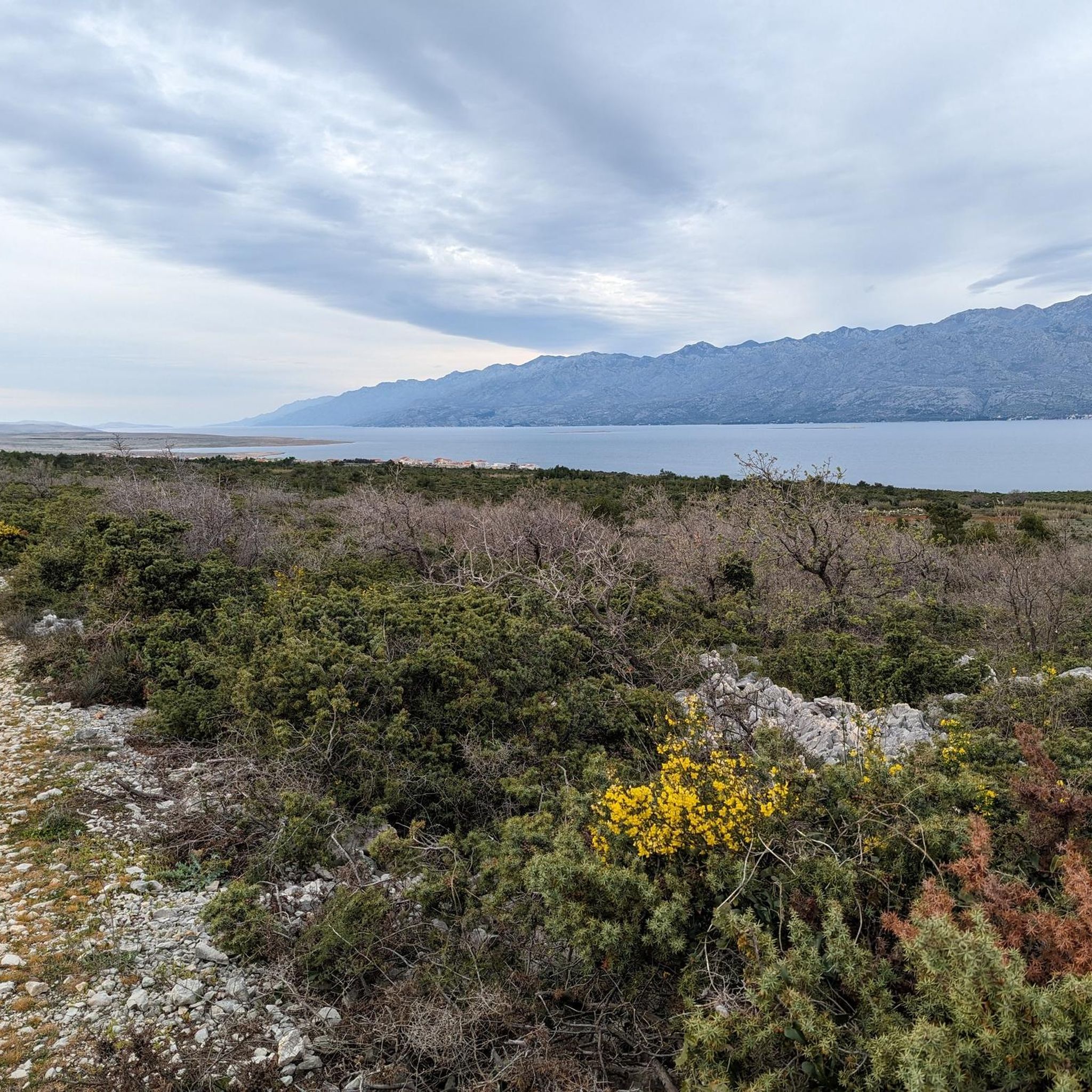
Mountaineering routes around Ražanac offer access to diverse and challenging terrain, primarily defined by the majestic Velebit Mountains and the dramatic landscapes of Paklenica National Park. The region features formidable limestone cliffs, deep canyons, and a unique "moon landscape" shaped by the bura wind. These natural features provide a rich environment for varied mountaineering experiences, from demanding ascents to scenic loops.
Best mountaineering routes around Ražanac
- The most popular mountaineering route is Cica Voda Spring – View of Paklenica Gorge…
Last updated: August 9, 2026
5.0
(6)
25
hikers
Hard mountaineering route. Very good fitness required. Sure-footedness, sturdy shoes and alpine experience required.
4.7
(3)
18
hikers
14.6km
05:24
700m
700m
Hard mountaineering route. Very good fitness required. Mostly accessible paths. Sure-footedness required.

Sign up for free
4.8
(4)
13
hikers
11.7km
05:13
670m
670m
Hard mountaineering route. Very good fitness required. Sure-footedness, sturdy shoes and alpine experience required.
13
hikers
19.4km
07:12
750m
750m
Hard mountaineering route. Very good fitness required. Sure-footedness, sturdy shoes and alpine experience required.
16
hikers
Moderate mountaineering route. Good fitness required. Easily-accessible paths. Suitable for all skill levels.
5.0
(2)
8
hikers
8.51km
03:50
590m
590m
Hard mountaineering route. Good fitness required. Sure-footedness, sturdy shoes and alpine experience required.
5.0
(2)
8
hikers
11.2km
04:33
640m
640m
Hard mountaineering route. Good fitness required. Sure-footedness, sturdy shoes and alpine experience required.
Our route recommendations are based on thousands of hikes, rides, and runs completed by other people on komoot.
Start today with a free account
Your next adventure awaits.
Login or Signup
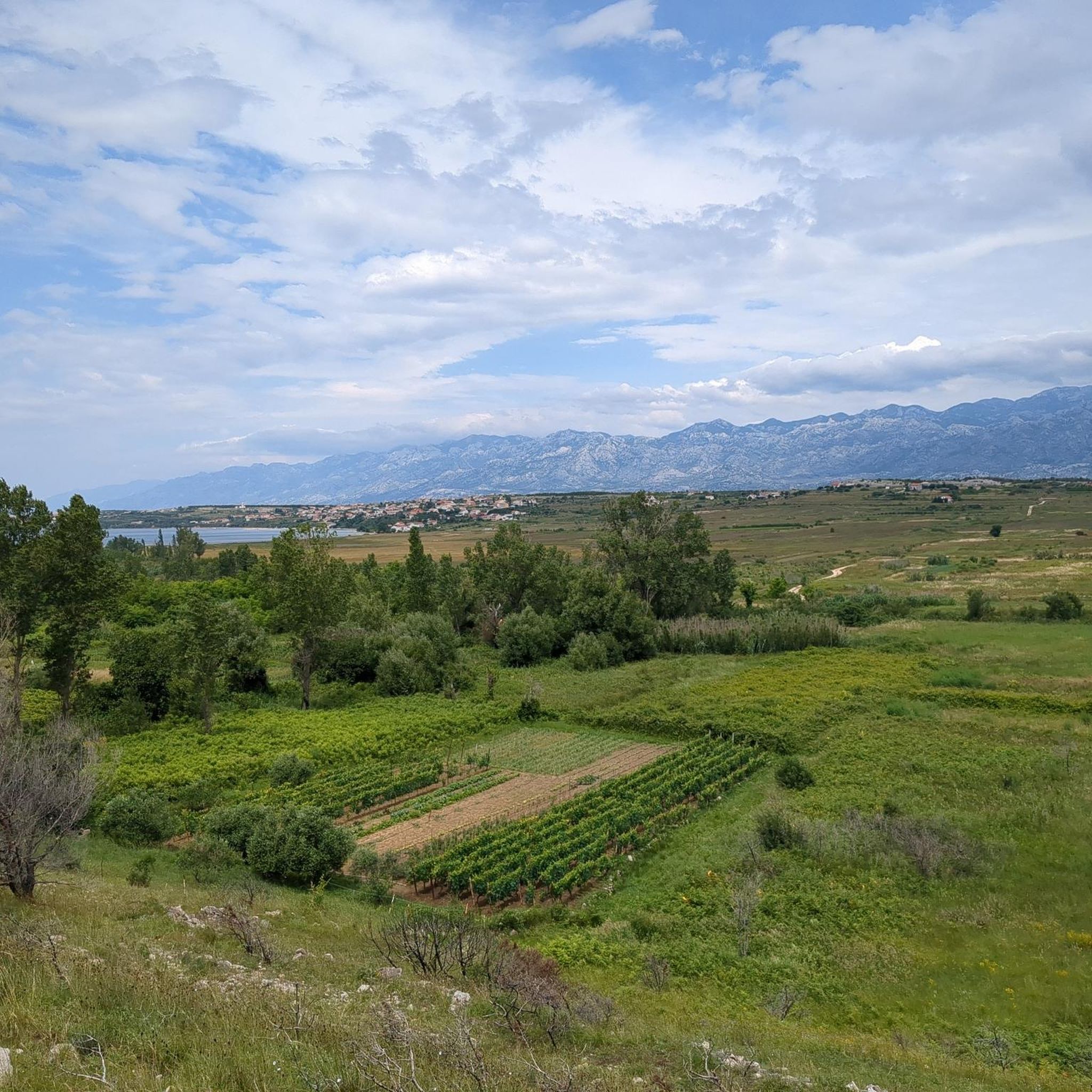
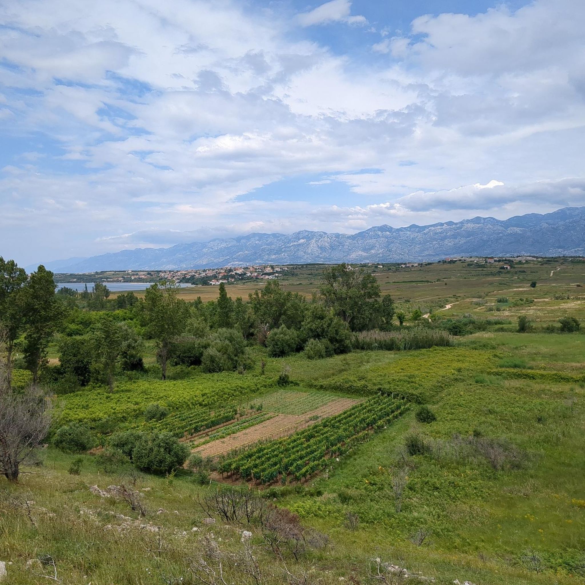
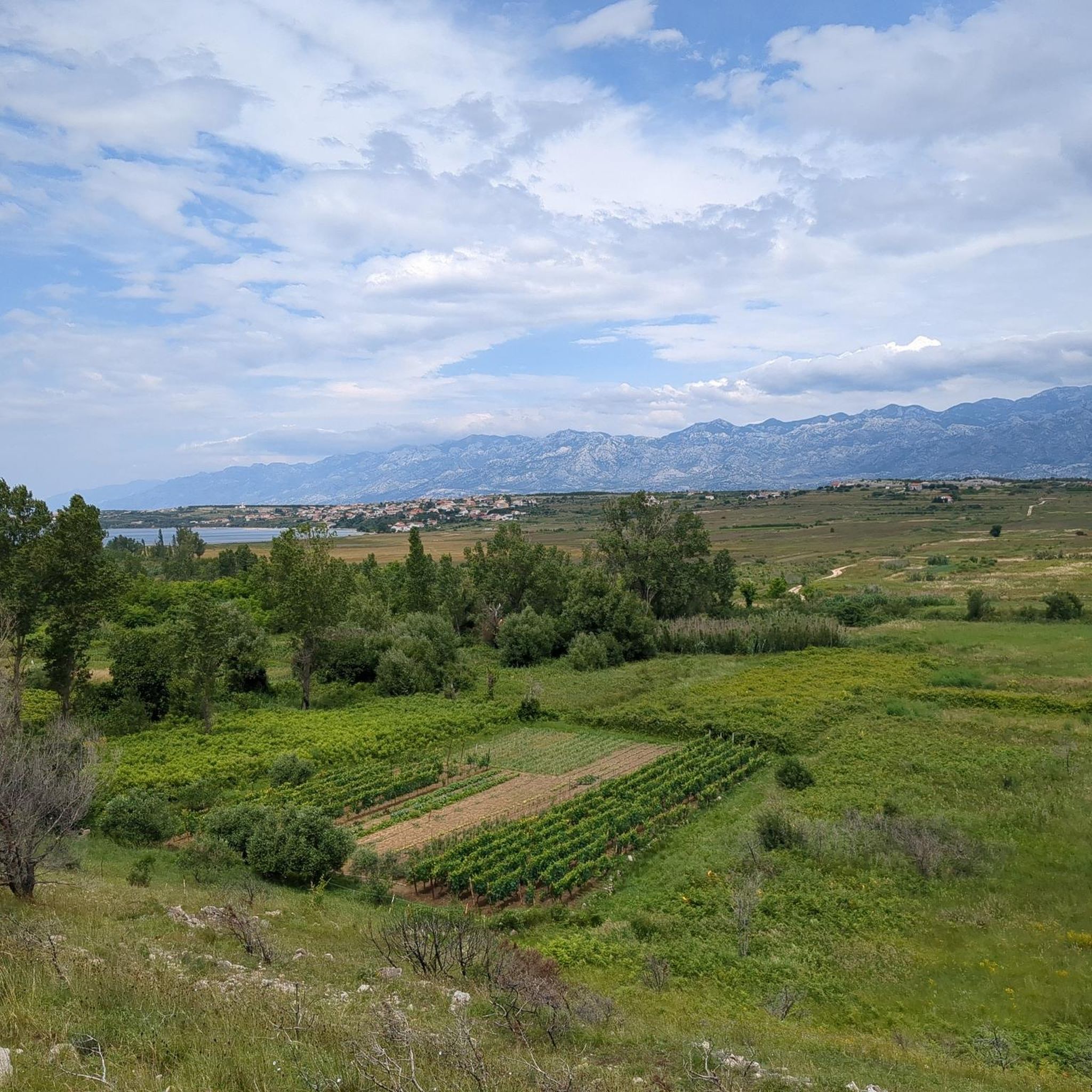
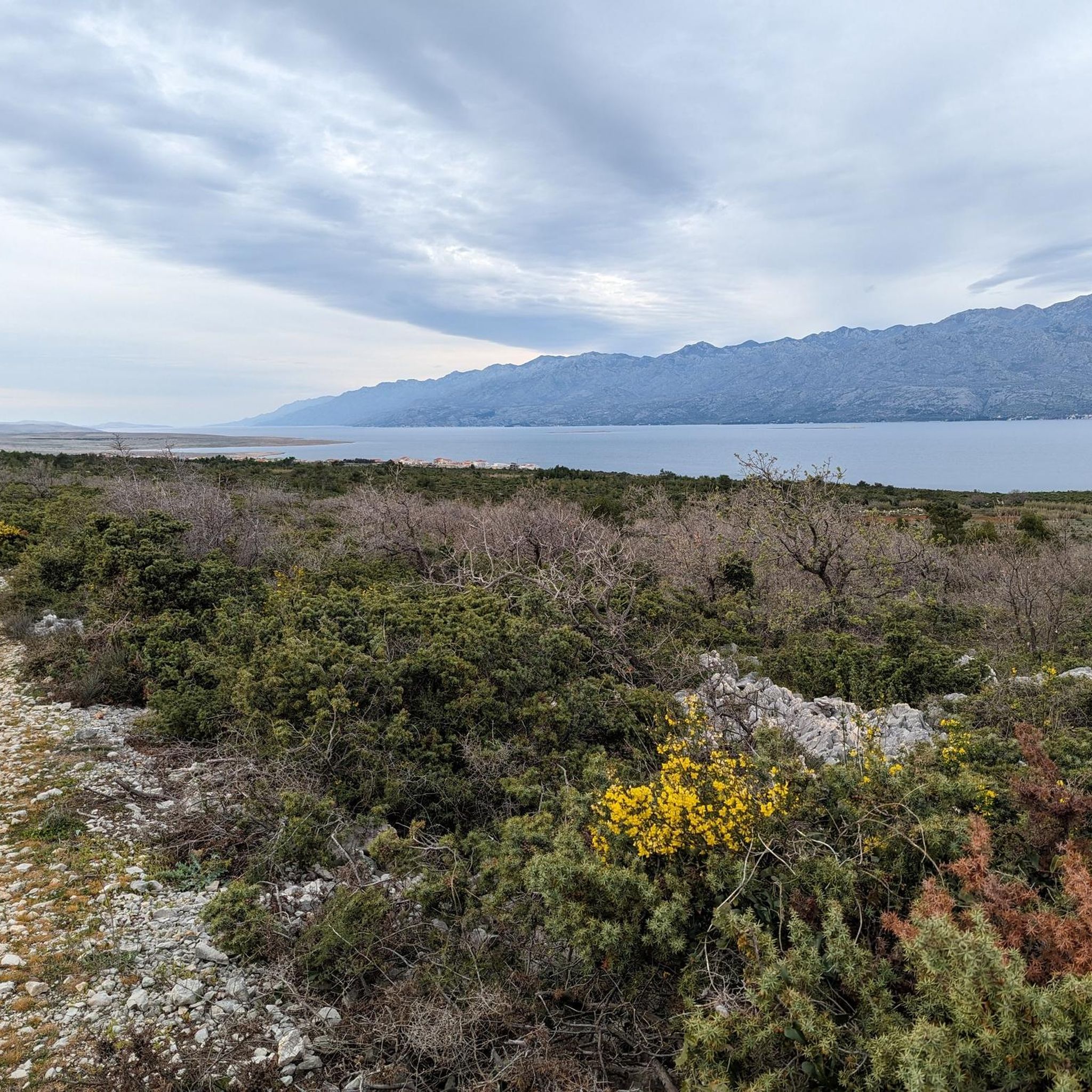
Tips from the Community

In the heights of Paklenica, bare limestone forms a rugged karst landscape. The rock originated about a hundred million years ago from the deposits of a shallow sea and was later steeply uplifted during the folding of the Velebit. Since then, rain and meltwater have dissolved the lime along fine cracks, creating the typical karst forms: sharp-edged gullies, fissures, and bare rock slabs. Because the water quickly seeps into the permeable rock, the surface remains dry and barren.
1
0
From up here, the view drops deep into Paklenica. It is an impressive view over the canyon: how it winds through the landscape surrounded by rugged limestone walls.
0
0

Greetings from all over the world are in this little mailbox 📮💌
0
0

This point offers a very good view of the summit of Mount Anica kuk and its steep cliff. Despite its modest height of only 712 meters, Mount Anića kuk is arguably one of Croatia's most famous mountains. Its impressive limestone massif, steep walls 300 meters high, and diverse climbing routes make it famous among climbing enthusiasts worldwide. This view of the mountain can be reached via a well-marked mountain trail.
0
0

You don't know whether the view of the sea or the mountains is more beautiful 😎
1
0
National Park Paklenica is one of the most visited National Parks Hr
2
0
One of the locations where the film was shot
2
0
You can see Velebit and the sea
3
0
Frequently Asked Questions
What kind of terrain can I expect on mountaineering routes near Ražanac?
The mountaineering routes around Ražanac are primarily defined by the majestic Velebit Mountains and the dramatic landscapes of Paklenica National Park. You can expect formidable limestone cliffs, deep canyons, and a unique "moon landscape" shaped by the powerful bura wind, creating a distinct limestone terrain with sparse vegetation. These features provide a rich environment for varied mountaineering experiences.
Are there any moderate mountaineering routes suitable for those seeking a less strenuous climb?
While most mountaineering routes in the area are considered difficult, there is one moderate option available: the Cica Voda Spring – Ascent to Manita Peć Cave loop from Starigrad. This route covers 7.2 miles (11.6 km) and offers a less demanding ascent while still providing a rewarding experience.
What are some notable natural features or landmarks I might encounter on the trails?
Mountaineering routes often lead through or near significant natural features. You can explore the impressive canyons of Paklenica National Park, including the renowned Paklenica Gorge and the more secluded Mala Paklenica Gorge. The region also features the unique "moon landscape" formed by the bura wind and offers magnificent views of the Adriatic Sea from spots like Punta Bajlo.
Are there any circular mountaineering routes available?
Yes, several routes are designed as loops, allowing you to start and end in the same location. Examples include the Cica Voda Spring – View of Paklenica Gorge loop from Starigrad Paklenica, the Cica Voda Spring – Ivancev Dom loop from Jurnović mill, and the Mala Paklenica Gorge loop from Seline.
What do other mountaineers say about the routes around Ražanac?
The mountaineering routes around Ražanac are highly rated by the komoot community, with an average score of 4.8 stars from more than 10 reviews. Mountaineers often praise the challenging terrain, the expansive views of Paklenica Gorge, and the rugged beauty of the Velebit foothills.
Are there any specific attractions or points of interest near the mountaineering trails?
Beyond the natural beauty, you can find historical and scenic points of interest. For example, you might encounter the Ruins of Ljubljana Fortress or enjoy a View of ruins above Novigrad Bay. The area also features the impressive Pag Bridge (Paški Most) nearby.
What is the best time of year for mountaineering in Ražanac?
The region benefits from a blend of mountain and sea air, making it pleasant for outdoor activities. Spring and autumn generally offer the most comfortable temperatures for mountaineering, avoiding the peak heat of summer while still providing good weather conditions for exploring the Velebit Mountains and Paklenica National Park.
Are there any longer, more challenging mountaineering expeditions?
For those seeking a more extensive challenge, the Mala Paklenica Gorge – Cica Voda Spring loop from Seline is a difficult route spanning 12 miles (19.4 km) and typically takes over 7 hours to complete. This route offers a significant ascent and a comprehensive experience of the area's rugged landscape.
What are the options for parking when accessing these mountaineering routes?
Many of the routes, particularly those within or near Paklenica National Park, originate from towns like Starigrad Paklenica or Seline. These locations typically offer designated parking areas for visitors accessing the park and its trails. It's advisable to check specific starting points for detailed parking information.
Can I find less crowded mountaineering options around Ražanac?
While Paklenica National Park is a popular destination, some routes might offer a more secluded experience. For instance, the Cica Voda Spring – Cica Voda Spring Picnic Area loop from Winnetou 7, while still difficult, might see fewer visitors compared to the main gorge trails, especially outside of peak season.
Is there a mountaineering route that offers a good overview of the region's landscape?
The Mountaineering loop from Starigrad provides an excellent opportunity to experience the diverse landscape. This difficult 6.9-mile (11.2 km) route offers varied terrain and panoramic views, giving a comprehensive impression of the area's natural beauty.
Most popular routes around Ražanac
Most popular attractions around Ražanac

Get inspired with the komoot mobile app


Explore more
Browse the best Mountain Hikes & Routes in other regions.
